robust mining geophysics exploration in...
TRANSCRIPT
M i n i n g g e o p h y s i c s
936 The Leading Edge March 2012
SPECIAL SECTION: M i n i n g g e o p h y s i c s
Robust mining geophysics exploration in Mongolia
For decades, Mongolia remained underexplored because it was a landlocked country sandwiched between Russia
and China. Interest in its mineral deposits was minimal. However, as the center of global economic growth shifted to Asia in the last decade, foreign investors flocked to Mongolia because of its resource potential, and an isolated nomadic nation has become the focus of a modern day gold rush. Its strategic location next to China has given Mongolia a unique advantage over other mineral-rich exporting countries as transportation costs to that expanding market are likely to be minimal. Two world-class deposits were recently announced, Oyu Tolgoi (copper and gold) and Tavan Tolgoi (coal).
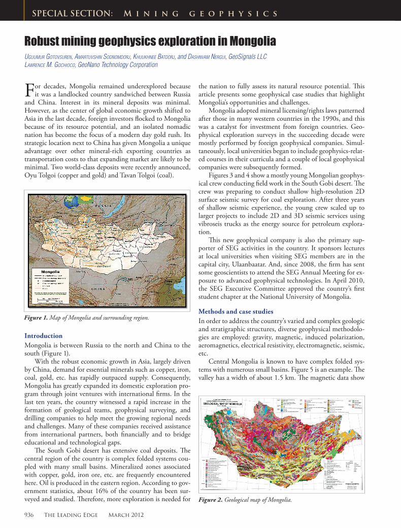
IntroductionMongolia is between Russia to the north and China to the south (Figure 1).
With the robust economic growth in Asia, largely driven by China, demand for essential minerals such as copper, iron, coal, gold, etc. has rapidly outpaced supply. Consequently, Mongolia has greatly expanded its domestic exploration pro-gram through joint ventures with international firms. In the last ten years, the country witnessed a rapid increase in the formation of geological teams, geophysical surveying, and drilling companies to help meet the growing regional needs and challenges. Many of these companies received assistance from international partners, both financially and to bridge educational and technological gaps.
The South Gobi desert has extensive coal deposits. The central region of the country is complex folded systems cou-pled with many small basins. Mineralized zones associated with copper, gold, iron ore, etc. are frequently encountered here. Oil is produced in the eastern region. According to gov-ernment statistics, about 16% of the country has been sur-veyed and studied. Therefore, more exploration is needed for
UgUUmUr gotovsUren, AmArtUvshin sodnomdorj, KhUUKhnee BAtdorj, and dAshnvAm nergUi, GeoSignals LLCLAwrence m. gochioco, GeoNano Technology Corporation
the nation to fully assess its natural resource potential. This article presents some geophysical case studies that highlight Mongolia’s opportunities and challenges.
Mongolia adopted mineral licensing/rights laws patterned after those in many western countries in the 1990s, and this was a catalyst for investment from foreign countries. Geo-physical exploration surveys in the succeeding decade were mostly performed by foreign geophysical companies. Simul-taneously, local universities began to include geophysics-relat-ed courses in their curricula and a couple of local geophysical companies were subsequently formed.
Figures 3 and 4 show a mostly young Mongolian geophys-ical crew conducting field work in the South Gobi desert. The crew was preparing to conduct shallow high-resolution 2D surface seismic survey for coal exploration. After three years of shallow seismic experience, the young crew scaled up to larger projects to include 2D and 3D seismic services using vibroseis trucks as the energy source for petroleum explora-tion.
This new geophysical company is also the primary sup-porter of SEG activities in the country. It sponsors lectures at local universities when visiting SEG members are in the capital city, Ulaanbaatar. And, since 2008, the firm has sent some geoscientists to attend the SEG Annual Meeting for ex-posure to advanced geophysical technologies. In April 2010, the SEG Executive Committee approved the country’s first student chapter at the National University of Mongolia.
Methods and case studiesIn order to address the country’s varied and complex geologic and stratigraphic structures, diverse geophysical methodolo-gies are employed: gravity, magnetic, induced polarization, aeromagnetics, electrical resistivity, electromagnetic, seismic, etc.
Central Mongolia is known to have complex folded sys-tems with numerous small basins. Figure 5 is an example. The valley has a width of about 1.5 km. The magnetic data show
Figure 1. Map of Mongolia and surrounding region.
Figure 2. Geological map of Mongolia.

March 2012 The Leading Edge 937
M i n i n g g e o p h y s i c s M i n i n g g e o p h y s i c sM i n i n g g e o p h y s i c s
Figure 3. Surveying crew prepares to collect data in the South Gobi desert.
Figure 4. Entirely Mongolian crew laying out seismic cables and geophones in the South Gobi desert.
Figure 5. Correlation of magnetic (top) and seismic (bottom) data sets gathered in central Mongolia reveals complex folding in a coal basin.
Figure 6. Seismic section showing continuous coal with minor interpreted faults.
high-frequency variations beneath the valley, indicating com-plex faulting in the coal basin. As a result, a high-resolution 2D surface seismic survey was conducted. It is evident from the coal seam reflections and interpreted faults that the area experienced past compression after the coal was deposited. There was a good correlation between the two geophysical data sets and the results also supported the extensive drill-ing program, which confirmed complex geologic structures beneath the valley floor.
In coal exploration, drilling is still the primary explora-tion tool but the resulting information can be limited, espe-cially when drillhole spacing are far apart. However, seismic can enhance any coal exploration programs by providing con-tinuous subsurface profiles. Figure 6 shows a high-resolution 2D seismic data collected in the South Gobi desert that in-dicates continuous coal seams with fairly uniform thickness coupled with minor interpreted faults. It is obvious that the surveyed area presented in Figure 6 will be easier to develop than the complex folded area shown in Figure 5.
Electrical resistivity, magnetics, and induced polarization are typically employed to detect and image mineralized zones associated with ferrous and nonferrous metals. In one gold exploration project in the northeast region, a shallow high-resolution seismic survey was added to the exploration pro-gram to better define the structure of a suspected collapsed volcanic caldera known to be the source of epithermal gold.

938 The Leading Edge March 2012
M i n i n g g e o p h y s i c s
Figure 7 shows a seismic line that over the collapsed caldera which confirmed the location of such a structure.
At another gold exploration license area, induced polariza-tion and electrical resistivity surveys were conducted to detect a mineralized zone associated with pyrite and gold. The map view (top of Figure 8) shows some variable concentrations in mineral content. The vertical cross section (bottom of Figure 8) shows a more extensive high-concentration (red-pinkish color) zone that lies above a blue plume-like structure. Drill-ing confirmed a higher-than-normal concentration of gold.
ConclusionsThe case studies presented in this paper demonstrate the high-quality results that local geophysical services companies can perform in Mongolia despite their relatively late entry into the global geophysics community. According to one government assessment, only about 16% of the country had been surveyed. Given the apparent rich potential of its mineral deposits, geo-
Figure 8. Induced polarization and chargeability images of a mineralized zone associated with epithermal gold.
Figure 7. High-resolution seismic section over a detected collapsed volcanic caldera (a source of epithermal gold).
physical activity in the Mongolia is likely to be robust in com-ing decades.
ReferencesEnslin, J. F., 1955, Some applications of geophysical prospecting in the
Union of South Africa: Geophysics, 20, 886–912.Gochioco, L. M., 2000, High-resolution 3-D seismic survey over a coal
mine reserve area in the U. S.—a case study: Geophysics, 65, no. 3, 712–718.
Gochioco, L. M., 1992, Modeling studies of interference reflections in thin-layered media bounded by coal seams: Geophysics, 57, no. 9, 1209–1216.
Okada, K., 2000, Geophysical exploration at Hishikari gold mine, Ja-pan: The Leading Edge, 19, 744–750.
Turner, G., T. Craske, A. Kepic, E. Stolz, and M. Urosevic, 2007, Seis-mic reflection surveys to assist nickel and gold exploration in the WA goldfields: Exploration Geophysics, 37, no. 1, 1–5.
Walton, C., B. J. Evans, and M. Urosevic, 2000, Imaging coal seam structure using 3-D seismic methods: Exploration Geophysics, 31, no. 3, 509–514.
Acknowledgments: GeoSignals LLC thanks Erdenejas LLC for per-mission to use some of its geophysical data examples in this paper.
Corresponding author: [email protected]