oceania node: progress towards multi-functional soil information by mike grundy
TRANSCRIPT
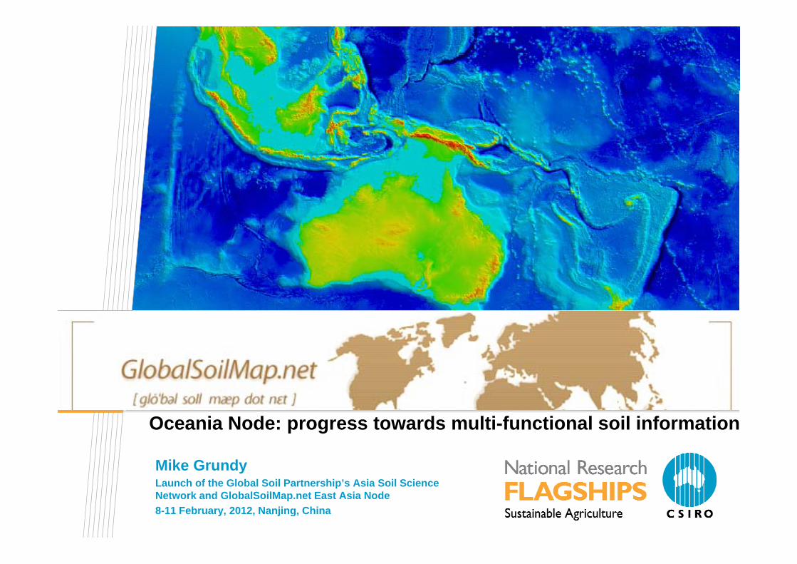
Oceania Node: progress towards multi-functional soil information
Mike GrundyLaunch of the Global Soil Partnership’s Asia Soil Science Network and GlobalSoilMap.net East Asia Node 8-11 February, 2012, Nanjing, China
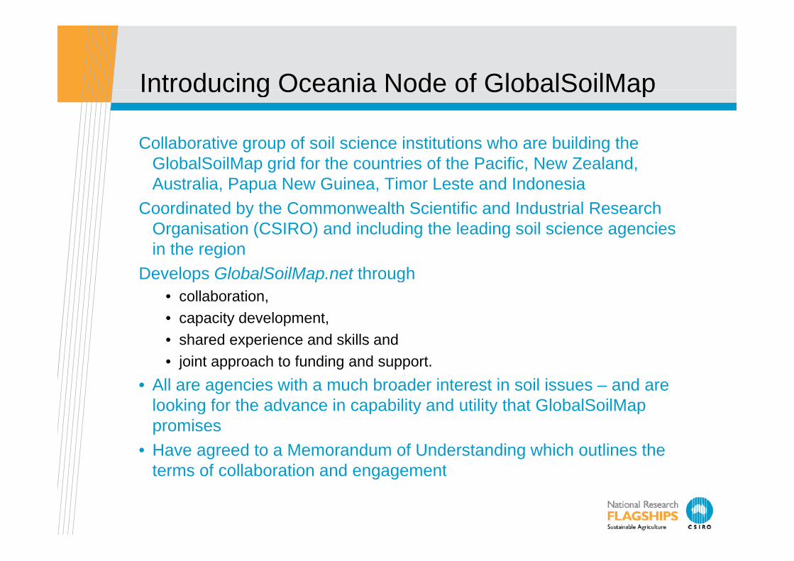
Introducing Oceania Node of GlobalSoilMapIntroducing Oceania Node of GlobalSoilMap
Collaborative group of soil science institutions who are building the GlobalSoilMap grid for the countries of the Pacific, New Zealand, Australia, Papua New Guinea, Timor Leste and Indonesia
Coordinated by the Commonwealth Scientific and Industrial Research yOrganisation (CSIRO) and including the leading soil science agencies in the region
Develops GlobalSoilMap.net through p p g• collaboration, • capacity development, • shared experience and skills andshared experience and skills and • joint approach to funding and support.
• All are agencies with a much broader interest in soil issues – and are looking for the advance in capability and utility that GlobalSoilMaplooking for the advance in capability and utility that GlobalSoilMappromises
• Have agreed to a Memorandum of Understanding which outlines the terms of collaboration and engagementterms of collaboration and engagement
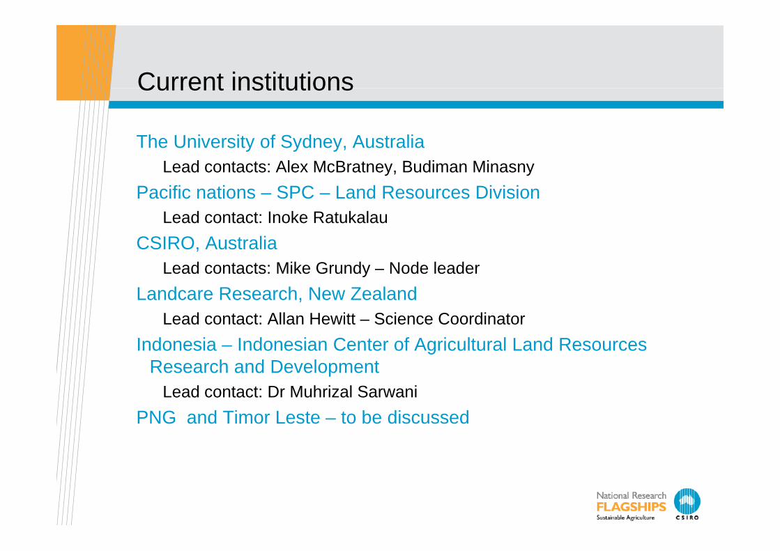
Current institutionsCurrent institutions
The University of Sydney, Australiay y yLead contacts: Alex McBratney, Budiman Minasny
Pacific nations – SPC – Land Resources DivisionL d t t I k R t k lLead contact: Inoke Ratukalau
CSIRO, AustraliaLead contacts: Mike Grundy – Node leadery
Landcare Research, New ZealandLead contact: Allan Hewitt – Science Coordinator
I d i I d i C t f A i lt l L d RIndonesia – Indonesian Center of Agricultural Land Resources Research and Development
Lead contact: Dr Muhrizal SarwaniPNG and Timor Leste – to be discussed
OutlineOutline
Brief re-visit - to avoid fatigue for those who have been here gbefore!
Then:Themes building a multifunctional system:Themes – building a multifunctional system:
• Collage: a collage in many dimensions - country down to project levelDi i h h i i d h d i h h i f• Diversity – the many paths in action – and what drives the choice of path
• Engagement – building a path between soil survey and data collection and the GSM product
• With an enhancement, improvement cycle• Partnerships – in Oceania. A challenge to get all parties; and
engagement within country• The components – ensuring appropriate investment in each part of
the systemHighlights and emerging opportunities
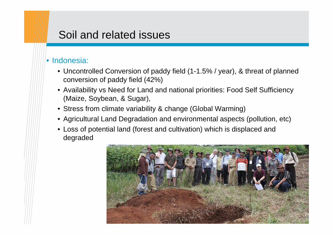
Soil and related issuesSoil and related issues
• Indonesia:• Uncontrolled Conversion of paddy field (1-1.5% / year), & threat of planned
conversion of paddy field (42%)• Availability vs Need for Land and national priorities: Food Self SufficiencyAvailability vs Need for Land and national priorities: Food Self Sufficiency
(Maize, Soybean, & Sugar), • Stress from climate variability & change (Global Warming)
Agric lt ral Land Degradation and en ironmental aspects (poll tion etc)• Agricultural Land Degradation and environmental aspects (pollution, etc)• Loss of potential land (forest and cultivation) which is displaced and
degraded
• New Zealand:• Understanding and managing the effects of increasing intensity of
land use • Understanding and managing the relationships between soil useUnderstanding and managing the relationships between soil use
and water quality.• Accurate understanding and modelling of N, P and C cycles.
Erosion management in soft rock hill co ntr• Erosion management in soft rock hill country.
And underpinning all that - the need to capitalise on much investment in the development of management tools by providing accurate soil information inputs
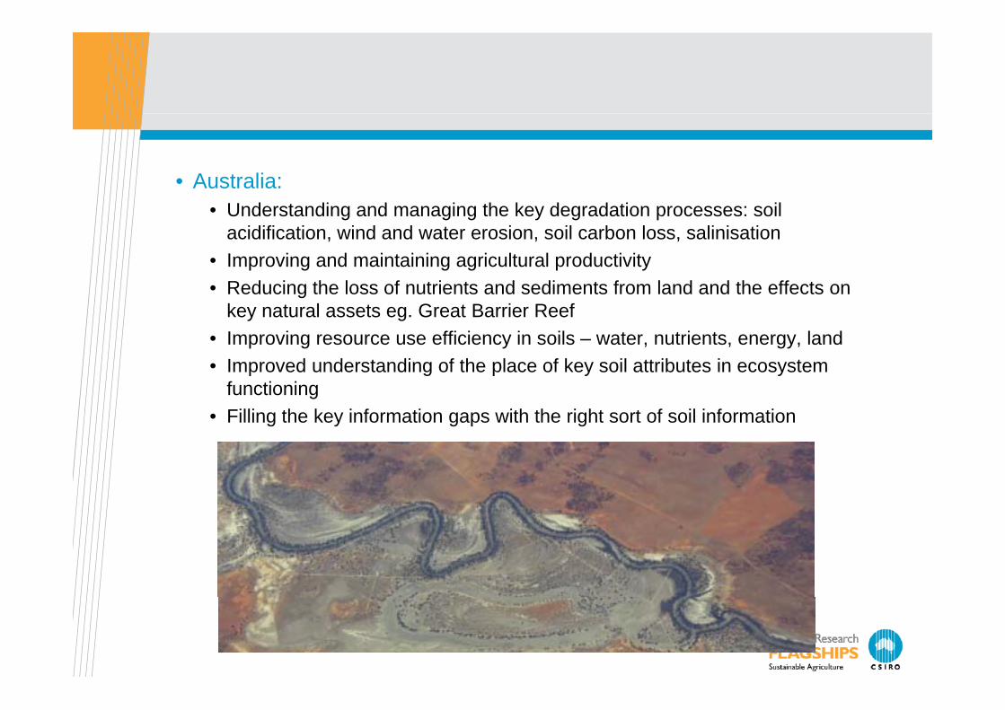
• Australia:• Understanding and managing the key degradation processes: soil
acidification, wind and water erosion, soil carbon loss, salinisation• Improving and maintaining agricultural productivity• Reducing the loss of nutrients and sediments from land and the effects on
key natural assets eg. Great Barrier Reef• Improving resource use efficiency in soils – water, nutrients, energy, land• Improved understanding of the place of key soil attributes in ecosystem
functioning• Filling the key information gaps with the right sort of soil information
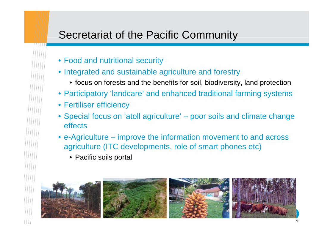
Secretariat of the Pacific CommunitySecretariat of the Pacific Community
• Food and nutritional securityy• Integrated and sustainable agriculture and forestry
• focus on forests and the benefits for soil, biodiversity, land protectionP ti i t ‘l d ’ d h d t diti l f i t• Participatory ‘landcare’ and enhanced traditional farming systems
• Fertiliser efficiency• Special focus on ‘atoll agriculture’ – poor soils and climate changeSpecial focus on atoll agriculture poor soils and climate change
effects• e-Agriculture – improve the information movement to and across
i lt (ITC d l t l f t h t )agriculture (ITC developments, role of smart phones etc)• Pacific soils portal
ESAFS 2009

How we work:How we work:
• Memorandum developed and agreed – in process of signing• Collaborative based around shared capacity development and an
agreed workplan:• Training at various levels including regional Universities (coordinated by g g g ( y
The University of Sydney), training workshops, secondments, multi-disciplinary projects;
• A diverse funding model with each partner in the Node working separately or collaboratively to ensure a sustainable financial base for the project;
• Shared access to and development of information technology;• A joint Node approach to the development of the overall GlobalSoilMap
t i l di th ki d th ifi ticoncepts including the working groups and the specifications;• A diverse approach to communication and information about the project
and its products – relevant to local, regional and global audiences; and• Interaction with the various users of the information• Interaction with the various users of the information

The emerging Themes: CollageThe emerging Themes: Collage
Artists and children understand the craft of collage – building a coherent picture from disparate components
Oceania is disparate:Oceania is disparate:• Geographically• Environmentally• And in the soil information we inherit and from
which we aim to deliver fine scale, specific attributes and the certainty with which we know them – the coherent picture
As in collage – the final overall picture is crucial
• Those who use soil information don’t understand and struggle to use the bits and pieces – they need the coherent picturepieces they need the coherent picture
• Not the bits and pieces
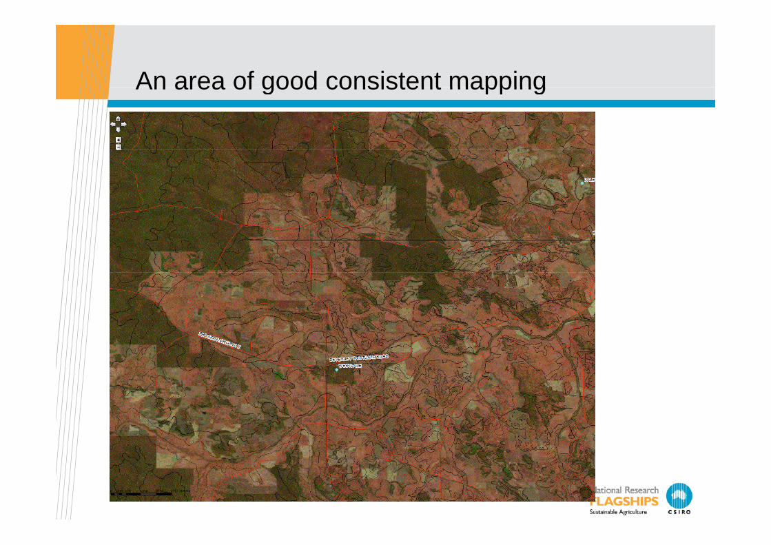
An area of good consistent mappingAn area of good consistent mapping

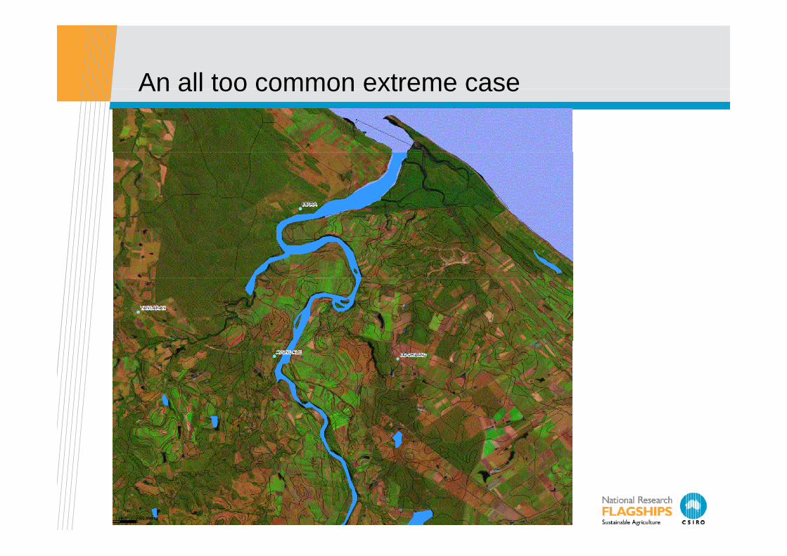
An all too common extreme caseAn all too common extreme case
ESAFS 2009

DiversityDiversity
• GlobalSoilMap has always known that we need a diversity of approaches – but a consistent and understandable product
• The legacy information diversity• The covariate diversity• The skills diversity• The funding diversity
EngagementEngagement
GlobalSoilMap is not and can not be ‘top down’!A ‘top down’ approach can produce a product – but we aim for a
system which :• Is connected to the existing and developing information base and g p g
those who care for it• Engages a broad suite of users demanding this information• Is part of the overall soil information system and can therefore be
systematically improved
We need to cultivate broad ownershippWithin the Node and constituent membersWithin countries and across key institutions
In Oceania – this requires nested responsibilityIn Oceania this requires nested responsibilityand adequate funding

ComponentsComponents
Necessary components for a sustained systems approach:y p y pp• Information system design
• Ensures connectivity and sustainability if done well• Includes specifications of other data systems geographic context andIncludes specifications of other data systems, geographic context and
so on• Locally – targeted version of the GlobalSoilMap specifications
• Soil data collation data enhancementSoil data collation, data enhancement• Covariate specification, preparation and enhancement• Core estimation tasks – may include a number in a collage
approachapproach• Uncertainty estimation and communication• Inference and decision support systems:
• To ensure that the users get the information they need• Delivery and access systems – supplemented with relevant support• Training of soil scientists and soil information usersTraining of soil scientists and soil information users• Communication and engagement
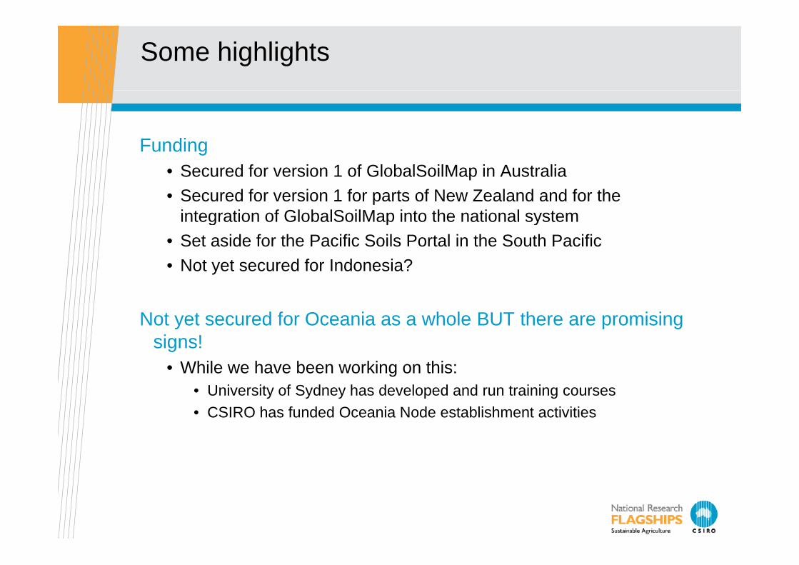
Some highlights
Fundingg• Secured for version 1 of GlobalSoilMap in Australia• Secured for version 1 for parts of New Zealand and for the
integration of GlobalSoilMap into the national systemintegration of GlobalSoilMap into the national system• Set aside for the Pacific Soils Portal in the South Pacific• Not yet secured for Indonesia?
Not yet secured for Oceania as a whole BUT there are promising signs!signs!
• While we have been working on this:• University of Sydney has developed and run training courses• CSIRO has funded Oceania Node establishment activities• CSIRO has funded Oceania Node establishment activities

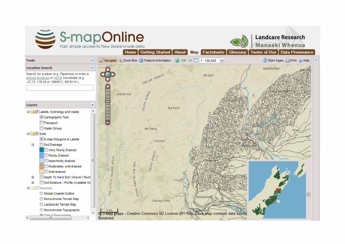
New Zealand notes
New Zealand:• Landcare Research has established the centre of activity for
GlobalSoilMap and S-map (the national soil information system)• National Land Resources Centre (NLRC)National Land Resources Centre (NLRC) • S-map and GlobalSoilMap within New Zealand are now integrated into
one project with two sets of over-lapping outputs – aimed at both the national goal and contributions to the node and international effort.
• Current GlobalSoilMap focus:• Digital soil mapping of soft rock hill country has commenced and will
produce GlobalSoilMap surfaces• GlobalSoilMap surfaces emerging from current soil carbon research
• Carbon, bulk density, total N• Based on national surfaces derived from regression krigging (Stephen
M N ill)McNeill).
Australian experience in building version 1Australian experience in building version 1
The team:Systems design:Covariates:National data collation Inference and pedotransferCommunicationsCommunicationsEstimation activitiesCentral concept of the project:p p j
Improve ecosystem research and understanding in Australiaobtain the best possible grid of the specified attributes connect to national effort in soil survey and soil informationconnect to national effort in soil survey and soil informationbuild the capacity to improve the gridinform the development of new national soil survey activities
The suite of activities serve this endThe suite of activities serve this end.
Australian experience in building version 1Australian experience in building version 1
The team:Goes across Federal and State agencies, CSIRO, Univ Sydney
Systems design:M d lli th l it t d t i li it !Modelling the complexity – to produce apparent simplicity!
Developing around an experience information modellerAustralian version of the specifications – and the extras needed
Covariates:new attributes drawn from 1 arcsec SRTM DEM now available
including an experimental landscape pattern attribute; current focusincluding an experimental landscape pattern attribute; current focus on more complex attributes
new gamma radiometrics surface in development; new ‘weathering’ surface available may be essential for depth ofnew weathering surface available – may be essential for depth of
weathering – an “extra” attribute
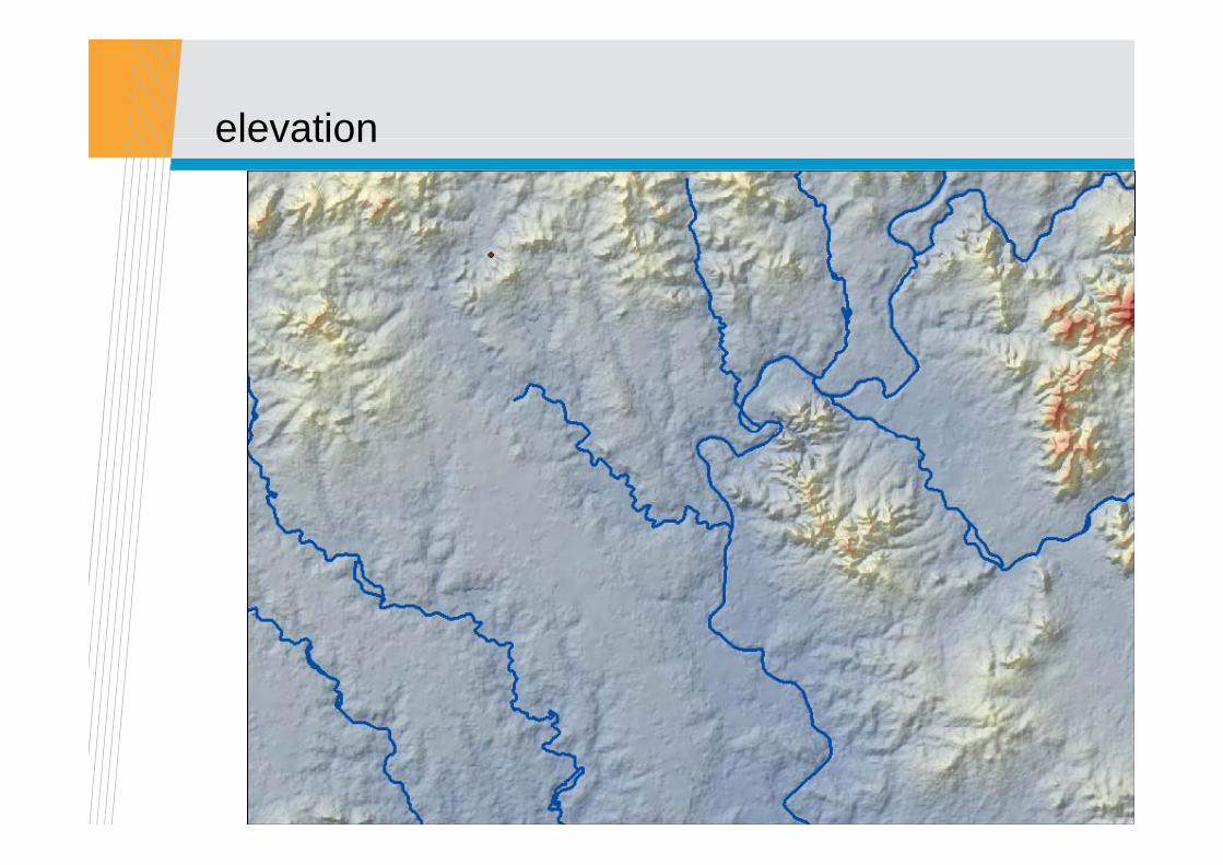
elevationelevation

Topographic wetnessTopographic wetness
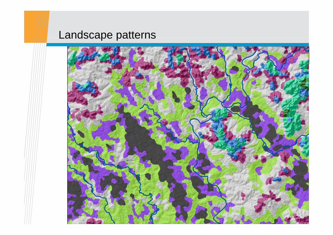
Landscape patternsLandscape patterns
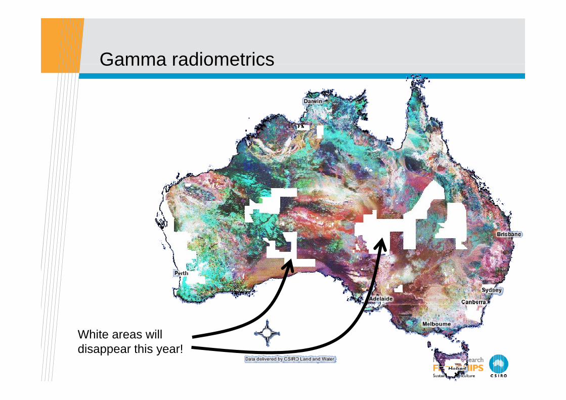
Gamma radiometricsGamma radiometrics
White areas willWhite areas willdisappear this year!
Australian experience in building version 1Australian experience in building version 1
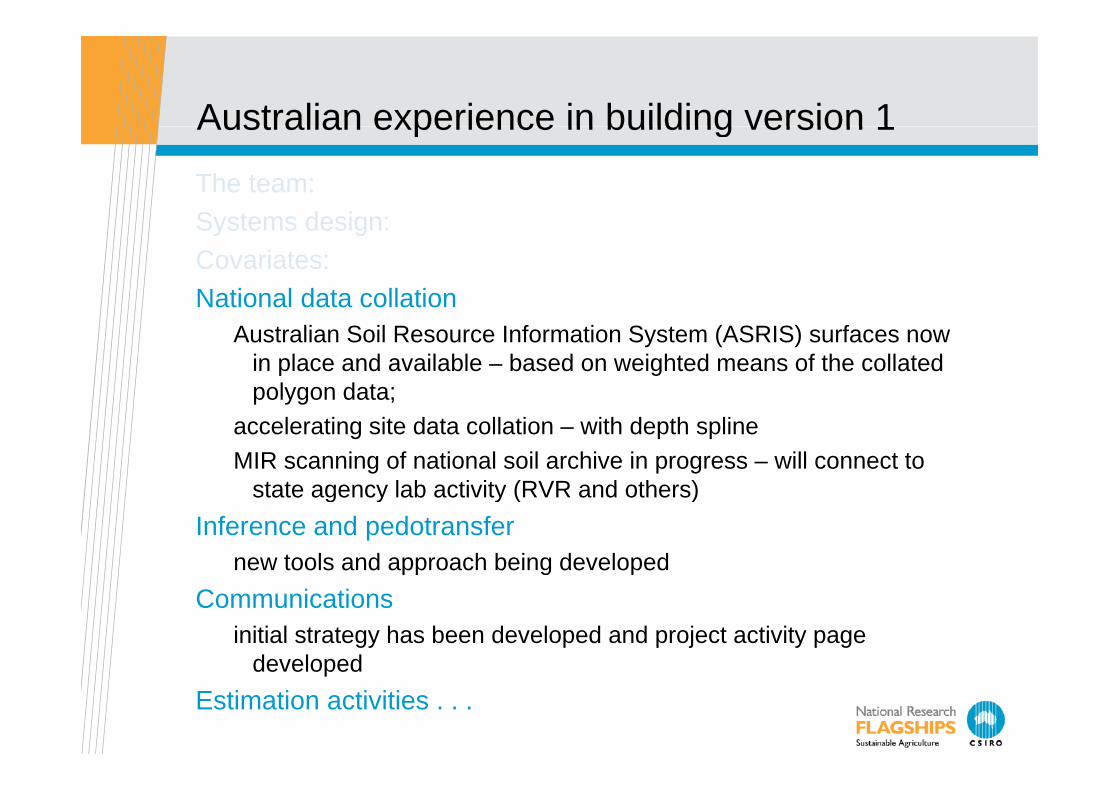
The team:S t d iSystems design:Covariates:National data collationNational data collation
Australian Soil Resource Information System (ASRIS) surfaces now in place and available – based on weighted means of the collated polygon data;polygon data;
accelerating site data collation – with depth splineMIR scanning of national soil archive in progress – will connect to
state agency lab activity (RVR and others)state agency lab activity (RVR and others)Inference and pedotransfer
new tools and approach being developedgCommunications
initial strategy has been developed and project activity page developeddeveloped
Estimation activities . . .
Australian experience in building version 1Australian experience in building version 1
The team:Systems design:Covariates:National data collation Inference and pedotransferCommunicationsCommunicationsEstimation activities
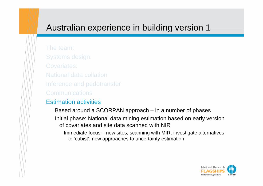
Based around a SCORPAN approach – in a number of phasesInitial phase: National data mining estimation based on early version
of covariates and site data scanned with NIRImmediate focus – new sites, scanning with MIR, investigate alternatives g g
to ‘cubist’; new approaches to uncertainty estimation

Initial surfaces now available
Viscarra Rossel 2011 (accepted) JGR-ES
Australian experience in building version 1Australian experience in building version 1
The team:Systems design:Covariates:National data collation Inference and pedotransferCommunicationsCommunicationsEstimation activities
Initial phase:Second phase:
The second phaseThe second phase
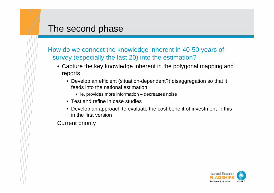
How do we connect the knowledge inherent in 40-50 years of g ysurvey (especially the last 20) into the estimation?
• Capture the key knowledge inherent in the polygonal mapping and reportsreports
• Develop an efficient (situation-dependent?) disaggregation so that it feeds into the national estimation
• ie. provides more information – decreases noisep• Test and refine in case studies• Develop an approach to evaluate the cost benefit of investment in this
in the first versionCurrent priority
Emerging and interesting facts:
The challenge of monitoringg gInference and pedo-transfer – ensuring that we go beyond the
core elementsEspecially to match model parameters in their termsEspecially to match model parameters in their terms
Locally important additions to the specifications• phosphate retention (PR) pedotransfer function. PR is an important
attribute for fertilizer management in NZ• Total P – highly explanatory variable in Australian native
ecosystemsy• Depth of weathering – highly explanatory variable in Australian
native ecosystems