hec & gis modeling of the brushy creek watershed presented by cassandra fagan 25, november 2014
TRANSCRIPT
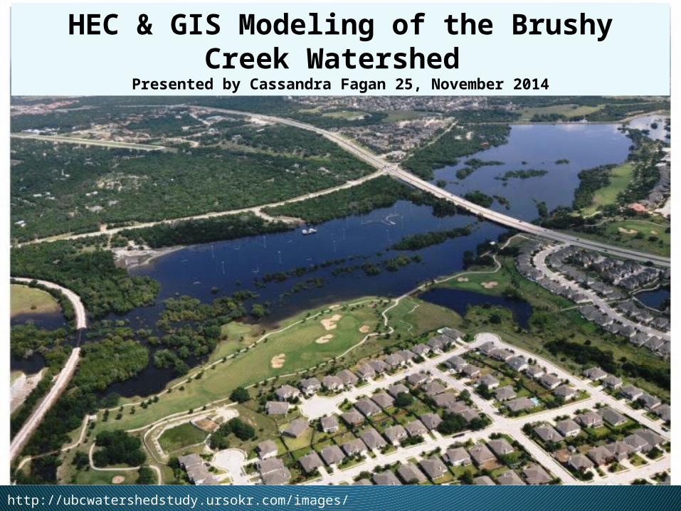
HEC & GIS Modeling of the Brushy Creek Watershed
Presented by Cassandra Fagan 25, November 2014
http://ubcwatershedstudy.ursokr.com/images/

Overall Goal: Raise emergency response at the local level to the national level
Create maps and tools that support local emergency response in all phases:
1) Preparedness2) Response 3) Recovery4)Mitigation

Upper Brushy Creek Watershed located in Travis & Williamson County- 187 square miles
Flood Frequencies: 10, 25, 50, & 100 year flood events
Software used: HEC-RAS HEC-Geo RAS ArcGIS HAZUS HEC-FIA
Study Area
Williamson County
Travis County

•Brushy Creek Watershed falls under four city jurisdictions
Study Area
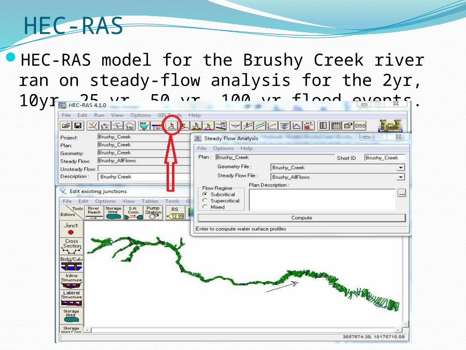
HEC-RASHEC-RAS model for the Brushy Creek river ran on
steady-flow analysis for the 2yr, 10yr, 25 yr, 50 yr, 100 yr flood events.

Arc-GIS 10.2.2 HEC-Geo RAS toolbox Inundation & velocity mapping for the
Brushy Creek Watershed

Arc-GIS 10.2.2Velocity Mapping Using ArcGIS & HEC-Geo RAS

Census Data • Downloaded Census Data for Texas from
https://msc.fema.gov/portal/resources/hazus

Census Data

Population Living the Upper Brushy Creek 100 Year
Floodplain

Population Over 65 Living the Upper Brushy Creek 100 Year Floodplain

Future Work:
Perform the analysis using Bare Earth DEM from Upper Brushy Creek Control & Improvement District
Arrival Time & Evacuation route mapping using HEC-FIA
Thanks to Professor Maidment and my research group!