economically analyze your tree inventory
TRANSCRIPT

Economically Analyze Your Tree InventoryJuly 14, 2015

About Us
Joe Morrison@OpenTreeMapProduct Specialist, [email protected]
Tyler Dahlberg@GeoTylerGeospatial Solution Specialist, Data [email protected]

Background
● Blog Series on Data Analysis & Tree Inventories○ OpenTreeMap Blog
■“Seeing the Forest for the Trees: Interpreting Data from Tree Inventories”
○ Azavea Atlas Blog Part I■“Loading Spatial Data into PostGIS with QGIS”
○ Azavea Atlas Blog Part II■“Analyzing OpenTreeMap Data with PostGIS”
● In Partnership with the City of Edmonton (yegTreeMap)
● OpenTreeMap Team & Data Analytics Collaboration
● Where we’re going: Forestry Modeling & Prioritization Tools

Agenda
● Azavea & OpenTreeMap (~5 minutes)
● Brief Overview of Free & Open Source Desktop Tools for Geospatial Analysis (~5 minutes)
● Full tutorial on creating an interactive online map you can share with stakeholders (~30 minutes)
○CartoDB ○Creating an account○Uploading a tree inventory○Querying the inventory to display specific information○Styling the resultant map
○Publishing it
● Question & Answer Session (~15 minutes)

About Azavea & OpenTreeMap

About Azavea
● Founded in 2000
● 40+ people
● Based in Philadelphia
● B Corporation
● Geospatial + web + mobile○ Software development
○ Spatial analysis services○ User experience

Partners and Funders
Free & Open Source Desktop Tools

OpenGeoSuite
● What is it?○Free, open source geospatial platform built by Boundless
○Includes QGIS, PostGIS, and other tools in one packaged suite
○Works on Windows, OSX, Ubuntu
● What can you do with it?○Build and query geospatial databases○Compose and style maps○Publish maps on desktop and (with extensions) the web
● How do I get started?○Azavea Atlas Blog Post
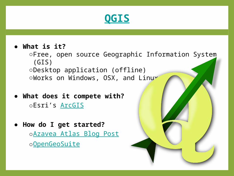
QGIS
● What is it?○Free, open source Geographic Information System (GIS)○Desktop application (offline)○Works on Windows, OSX, and Linux
● What does it compete with?○Esri’s ArcGIS
● How do I get started?○Azavea Atlas Blog Post○OpenGeoSuite

PostGIS
● What is it?○Free, open source tool for working with spatial data○Works with a PostgreSQL database (open source database)
○Allows for simple and efficient querying of the database○Works on Windows, OSX, Linux
● What does it work with?○QGIS○CartoDB○ArcGIS
● How do I get started?○Azavea Atlas Blog Post○OpenGeoSuite
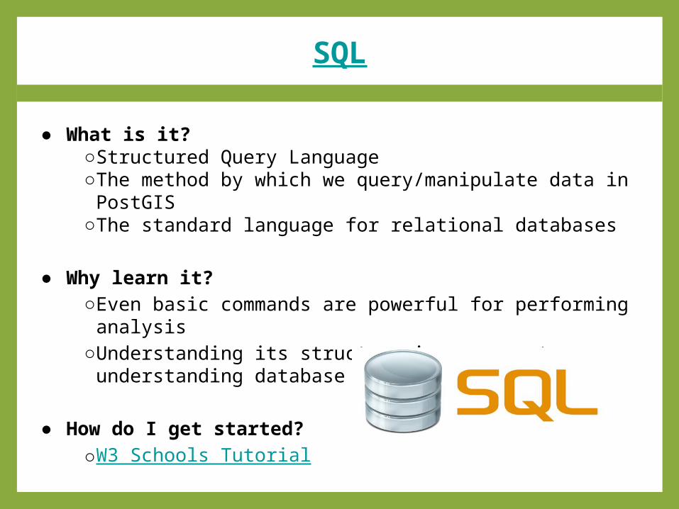
SQL
● What is it?○Structured Query Language○The method by which we query/manipulate data in PostGIS
○The standard language for relational databases
● Why learn it?○Even basic commands are powerful for performing analysis
○Understanding its structure is a proxy to understanding database design
● How do I get started?○W3 Schools Tutorial
Today’s Demonstration: CartoDB
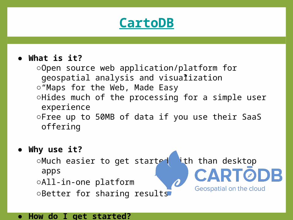
CartoDB
● What is it?○Open source web application/platform for geospatial analysis and visualization
○“Maps for the Web, Made Easy”○Hides much of the processing for a simple user experience
○Free up to 50MB of data if you use their SaaS offering
● Why use it?○Much easier to get started with than desktop apps○All-in-one platform○Better for sharing results
● How do I get started?○Today’s webinar lightning tutorial

Question & Answer Session

Summary
● Data Analytics & OpenTreeMap Team Collaboration○Blog series○Webinar○Open line of communication for interested parties
● Free and Open Source Desktop Tools○OpenGeoSuite○QGIS○PostGIS
● CartoDB Tutorial○Available as recorded webinar

Resources
•OpenTreeMap Blog– “Seeing the Forest for the Trees: Interpreting Data from Tree Inventories”
•Azavea Atlas Blog Part I– “Loading Spatial Data into PostGIS with QGIS”
•Azavea Atlas Blog Part II– “Analyzing OpenTreeMap Data with PostGIS”
• OpenGeoSuite– QGIS, PostGIS, and more
• CartoDB– Web maps and analysis platform
• Forestry Modeling and Prioritization Tools– Releasing later this year on the OpenTreeMap platform

Contact Us
Joe Morrison@OpenTreeMapProduct Specialist, [email protected]
Tyler Dahlberg@GeoTylerGeospatial Solution Specialist, Data [email protected]