doppler wind lidar deployed to map potential wind farm · pdf filedoppler wind lidar deployed...
TRANSCRIPT
Doppler Wind Lidar Deployed to Map Potential Wind Farm Sites
In Virginia, State and Federal regulators have set aside over 140,000 acres off the Virginia coast for future offshore wind turbines. The area, which will be divided into blocks for lease by wind energy companies, may eventually provide up to 10 percent of the state’s electricity. But the turbines likely won’t be built until utility companies can determine which areas contain the strongest, most consistent, and, therefore, most valuable winds. George Hagerman, director of offshore wind research for the Virginia Coastal Energy Research Consortium (VCERC), turned to NASA for help.
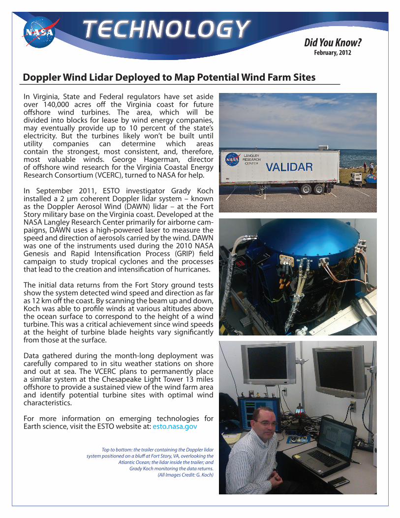
In September 2011, ESTO investigator Grady Koch installed a 2 μm coherent Doppler lidar system – known as the Doppler Aerosol Wind (DAWN) lidar – at the Fort Story military base on the Virginia coast. Developed at the NASA Langley Research Center primarily for airborne cam-paigns, DAWN uses a high-powered laser to measure the speed and direction of aerosols carried by the wind. DAWN was one of the instruments used during the 2010 NASA Genesis and Rapid Intensification Process (GRIP) field campaign to study tropical cyclones and the processes that lead to the creation and intensification of hurricanes.
The initial data returns from the Fort Story ground tests show the system detected wind speed and direction as far as 12 km off the coast. By scanning the beam up and down, Koch was able to profile winds at various altitudes above the ocean surface to correspond to the height of a wind turbine. This was a critical achievement since wind speeds at the height of turbine blade heights vary significantly from those at the surface.
Data gathered during the month-long deployment was carefully compared to in situ weather stations on shore and out at sea. The VCERC plans to permanently place a similar system at the Chesapeake Light Tower 13 miles offshore to provide a sustained view of the wind farm area and identify potential turbine sites with optimal wind characteristics.
For more information on emerging technologies for Earth science, visit the ESTO website at: esto.nasa.gov
Did You Know? February, 2012
Top to bottom: the trailer containing the Doppler lidar system positioned on a bluff at Fort Story, VA, overlooking the
Atlantic Ocean; the lidar inside the trailer; and Grady Koch monitoring the data returns.
(All Images Credit: G. Koch)
-5