current geocoding situation at gdacs - em-datemdat.be/sites/default/files/iwggd_ajh_munichre.pdf ·...
TRANSCRIPT

1Global Security and Crisis Management, September 2009 1Global Security and Crisis Management, September 2009
Current Geocoding Situation at GDACS
Dr. Andreas Hirner
European Commission Joint Research CenterInstitute for the Protection and the Security of the CitizenGlobal Security and Crisis Management y gCritech
2
Current Geocoding Situation at GDACS
2
GDACS stands for:Global Disaster Alert and Coordination SystemCoordination System
Near real-time alerts about natural disasters around the world and tools to facilitate response coordination, p ,including media monitoring, map catalogues and Virtual On-Site Operations Coordination Centre
Disasters are classified in threeDisasters are classified in three classes: Green: very low likelihood of humanitarian disasterOrange: potential humanitarian di tdisasterRed: very high likelihood of humanitarian disaster
Alert levels are automatically yselected and continuously updated by a computer program based on the available information and will not be modified manually.

3
Current Geocoding Situation at GDACS
3
System for international disaster response community • Partnerships
– Complimentary with existing information systems
– United Nations OCHA, UNOSAT, JLS, WFP, UNEP, HABITAT
– Information gap in the initial response phase – Scientific organisations
Earthquakes: US, Italian, European, German, Russian seismological institutesTropical cyclones: Pacific Disaster CentreFl d D t th Fl d Floods: Dartmouth Flood Observatory, NASAVolcanic eruptions: Smithsonian Global Volcanism ProgramGlobal Volcanism ProgramTsunamis: Pacific Tsunami Warning Centre, NOAA, UNESCO
4
Current Geocoding Situation at GDACS
4
Data Sources
htt // d /http://www.gdacs.org/sources.asp

5
Current Geocoding Situation at GDACS
5
• Magnitude: 7.9M (very strong) • Depth: 10km (shallow)S f• Several strong aftershocks
• Location• 94km from Chengdu
• 9.7 million people within 100km• 30 million people within 200km
• Mo ntaino s area• Mountainous area• landslides, hydro-dams
GDACS system (times relative to event)GDACS system (times relative to event)13min Detection of earthquake through USGS14min GDACS Red Alert14min GDACS report published on line14min GDACS report published on-line
14min Email alert sent to 4500 users19min SMS alert sent to 2700 users
Operational since 2002 (experimental since1994 )
Status Events
Green: 3034119min SMS alert sent to 2700 users53min Fax alert sent to 100 users
all automatic
Orange: 509Red: 82
Grand total: 30935
6
Current Geocoding Situation at GDACS
6
GDACS system (times relative to event)collaboration of first responderscollaboration of first responders
~1h GDACS Virtual OSOCC topic created1h20 UNDAC Alert Message
9h Media reports >1000 killed
1st day 1st IFRC Situation Reporty p2nd day First OCHA Situation Report
18 May First satellite based damage mapy g p
Fatalities in the news
14000
4000
6000
8000
10000
12000
Number of deads
0
2000
12/05/2008 10:00
12:00
14:00
16:00
18:00
20:00
22:00
13/05//2008 0:00
02:00
04:00
06:00
08:00
10:00

7
Current Geocoding Situation at GDACS
7
Tropical Cyclones
C l l ti b ff dCalculating buffers and applying models to get an estimate of probable impact
Track data from 2003 to now -> 655 storms
Since 2007, wind buffers -> 431 storms
8
Current Geocoding Situation at GDACS
8
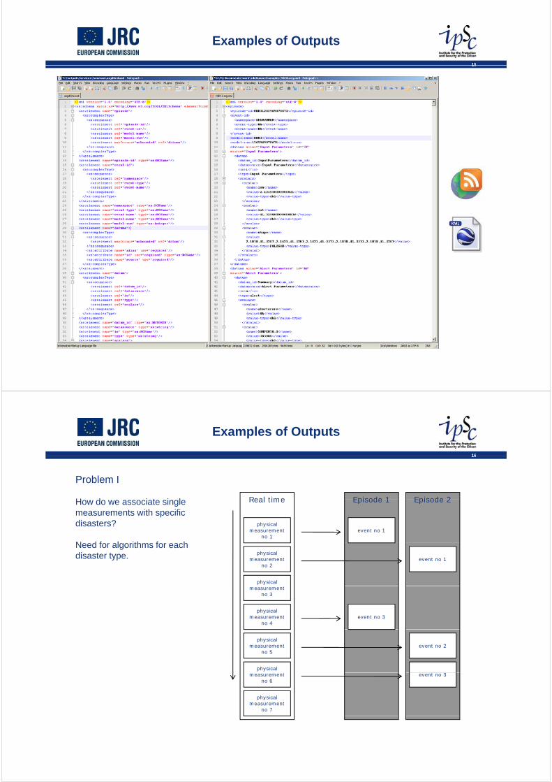
Floods
C t i id tCurrent version provides reports and impact models.
JRC contracted DFO Dartmouth Fl d Ob t ) i 2008 tFlood Observatory) in 2008 to provide data and services.
9
Current Geocoding Situation at GDACS
9
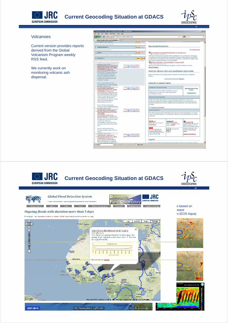
Volcanoes
C t i id tCurrent version provides reports derived from the Global Volcanism Program weekly RSS feed.
We currently work on monitoring volcanic ash dispersal.
10
Current Geocoding Situation at GDACS
10
Floods
future plans based on… future plans based on passive microwave measurements (EOS Aqua)

11
Current Geocoding Situation at GDACS
11
After the 2004 Tsunami in Banda Aceh, Indonesia, JRC decided to include Tsunami models for a quick evaluation of the possible impact of a Tsunami as a consequence of an earthquakeas a consequence of an earthquake
12
Current Geocoding Situation at GDACS
12
• Risk analysis– Risk = Hazard x Population x Vulnerability
Ha ard 0 then Risk 0Hazard = 0 then Risk = 0Population = 0 then Risk = 0Vulnerability = 0 then Risk = 0
• Impact analysis is similar– Impact = Event magnitude x Population in affected area x Vulnerability
Volcano
Socio-economic Indicators (e.g.
MonitoringNetworks
EarthquakeObservation
Networks
UNDP, World Bank)
FloodWatch
Networks
Trop. CycloneObservation
• Models usually based on neighbourhood and buffer analysis V lid ti i t l d t
Networks
– Validation requires external data– Optimization is done on past disasters

13
Current Geocoding Situation at GDACS
13
A dAsgard
VolcanoObservation
Automatic
Evaluation
f
EarthquakeObservation
Scrape
dPublish
of
disaster Trop.
CycloneObservation
and
Push
Flood watchObservation
Base Data:Geographical,
Socio-economic, t
Models Alert
Flood
Test
etc.Observation
14
Current Geocoding Situation at GDACS
14
A dAsgard
MS Access
VB.Net
MS Access
VB
VB.NetXSLTAsgard .Net
MS Access
VB.Net
XSLTAjaxXML
MS AccessAsgard XML
MS SQL ServerArcSDE
JavaAML
VB.Net
Mysql
C#
Mysql
15
Examples of Outputs
15
16
Examples of Outputs
16
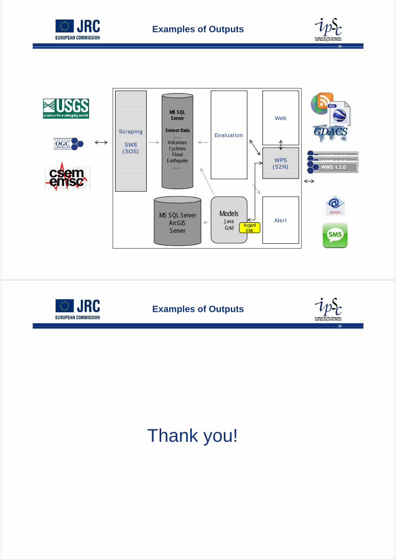
Real time Episode 1 Episode 2
Problem I
H d i t i l Real time
physicalmeasurement
no 1
Episode 1 Episode 2
event no 1
How do we associate single measurements with specific disasters?
N d f l ith f hphysical
measurement no 2
physical
event no 1
Need for algorithms for each disaster type.
measurement no 3
physicalmeasurement
no 4event no 3
physicalmeasurement
no 5event no 2
physical
physicalmeasurement
no 7
event no 3measurement no 6

17
Examples of Outputs
17
Database A Database B
Problem II
H d id tif di t Database A Database B
Disaster ID:1
How do we identify disasters across various databases, institutions, companies?
Disaster ID:1
Disaster ID:4 Disaster ID:2
?Disaster ID:3
?
Disaster ID:4
18
Examples of Outputs
18
Glidenumber.net
W b li ti t tWeb application to create, register and manage globally common unique ID codes for disasters.
JRC recently committed a module, which enables automatic creation of
bnumbers.
Work to do: Come up with algorithms that reliably detect d plicates anddetect duplicates and “aftershocks” for each disaster type.
19
Examples of Outputs
19
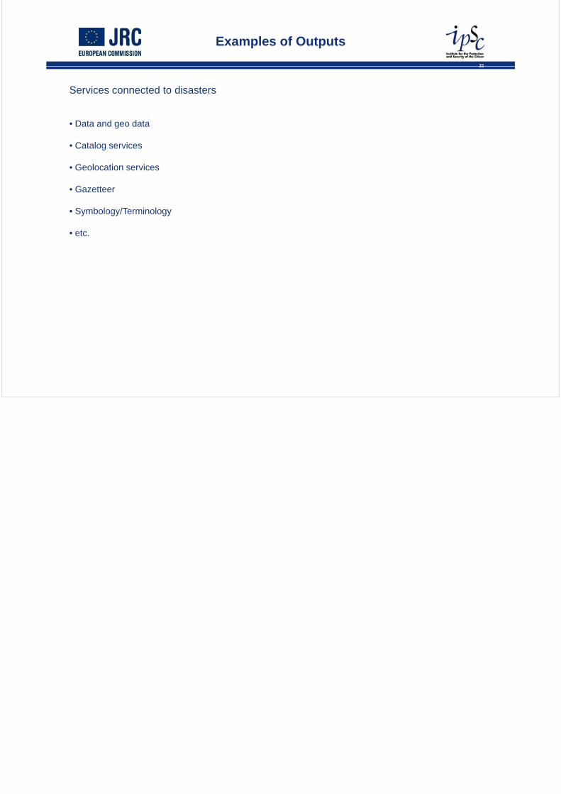
Evaluation
MS SQL Server
Sensor Data……
Scraping
Web
VolcanoesCyclones
FloodEarthquake
……
SWE(SOS)
WPS(52N)
MS SQL ServerArcGISServer
ModelsJavaGrid Asgard
XML
Alert
Server
20
Examples of Outputs
20
Thank you!
21
Examples of Outputs
21
Services connected to disasters
• Data and geo data
• Catalog services
• Geolocation services
• Gazetteer
• Symbology/Terminology
• etc.