use of gis/gps in support of the philippines 2020 census ... · republic of the philippines...
TRANSCRIPT
Republic of the Philippines
Philippine Statistics Authority
Republic of the Philippines
Philippine Statistics Authority
Regional Workshop on the Use of Electronic Data Collection Technology in
Population and Housing Censuses
UN ESCAP, Bangkok
January 24-26, 2018
Use of GIS/GPS in Support of the Philippines
2020 Census of Population and Housing
Republic of the Philippines
Philippine Statistics Authority
Outline of the Presentation
• Initiatives of Using GIS in Household Surveys
• GIS Technology Rolling Program for Census Map
Updating
• The 2020 CPH Workflow with GIS Technology
Republic of the Philippines
Philippine Statistics Authority
Republic of the Philippines
Philippine Statistics Authority
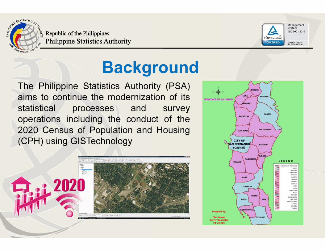
The Philippine Statistics Authority (PSA)
aims to continue the modernization of its
statistical processes and survey
operations including the conduct of the
2020 Census of Population and Housing
(CPH) using GISTechnology
Background
Republic of the Philippines
Philippine Statistics Authority
Republic of the Philippines
Philippine Statistics Authority
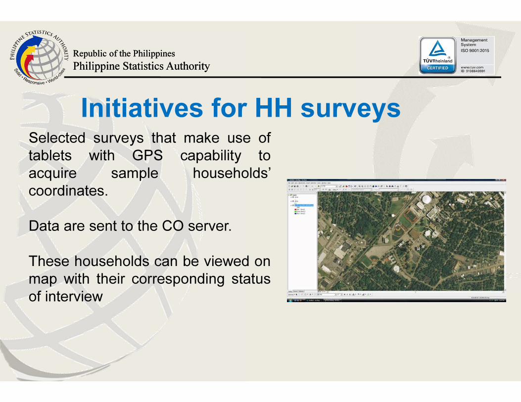
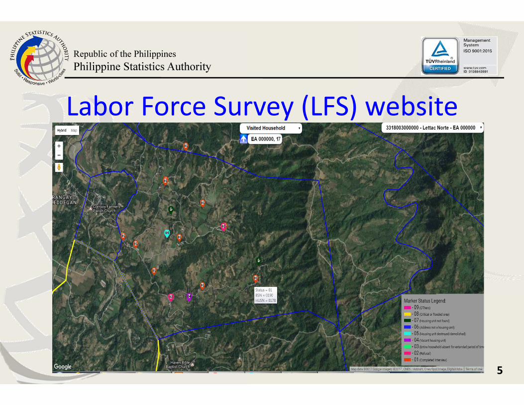
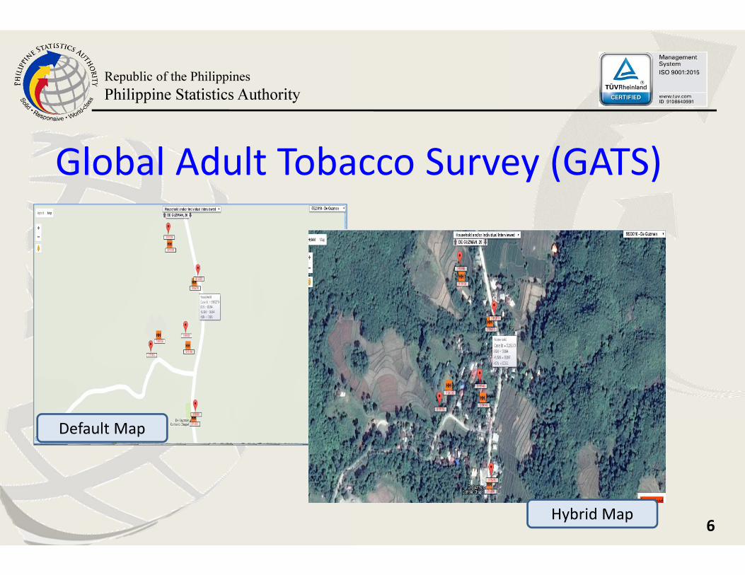
Selected surveys that make use of
tablets with GPS capability to
acquire sample households’
coordinates.
Data are sent to the CO server.
These households can be viewed on
map with their corresponding status
of interview
Initiatives for HH surveys
Republic of the Philippines
Philippine Statistics Authority
5
Labor Force Survey (LFS) website
Republic of the Philippines
Philippine Statistics Authority
6
Global Adult Tobacco Survey (GATS)
Default Map
Hybrid Map
Republic of the Philippines
Philippine Statistics Authority
Republic of the Philippines
Philippine Statistics Authority
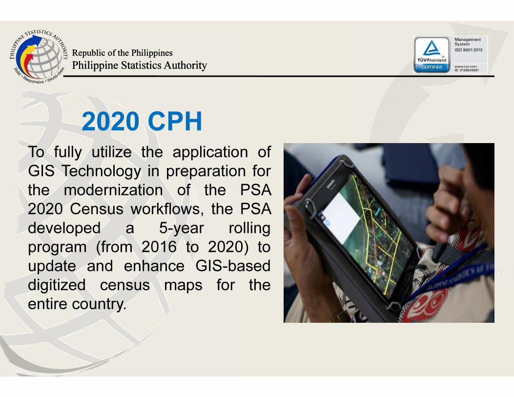
2020 CPHTo fully utilize the application of
GIS Technology in preparation for
the modernization of the PSA
2020 Census workflows, the PSA
developed a 5-year rolling
program (from 2016 to 2020) to
update and enhance GIS-based
digitized census maps for the
entire country.
Republic of the Philippines
Philippine Statistics Authority
Republic of the Philippines
Philippine Statistics Authority
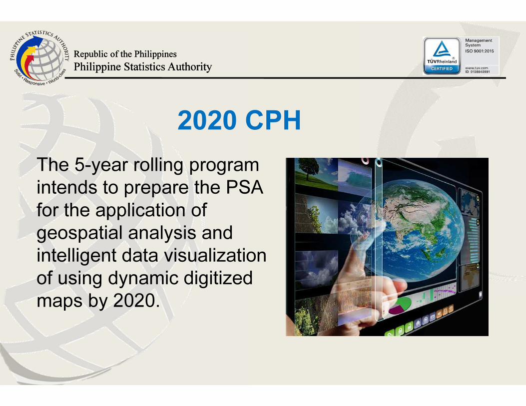
The 5-year rolling program
intends to prepare the PSA
for the application of
geospatial analysis and
intelligent data visualization
of using dynamic digitized
maps by 2020.
2020 CPH
Republic of the Philippines
Philippine Statistics Authority
Republic of the Philippines
Philippine Statistics Authority
1. Validation of Master Sample Frame (MSF) for
Household-Based Surveys through
• verification of selected Primary Sampling Units
(PSUs) area boundaries (Barangays/EAs)
• actual location (using GPS waypoints) of
Secondary Sampling Unit (SSU) (housing units)
within the PSU. (2016)
The GIS Technology-based Rolling
Program for Census Maps Updating
Republic of the Philippines
Philippine Statistics Authority
Republic of the Philippines
Philippine Statistics Authority
The GIS Technology-based Rolling
Program for Census Maps Updating
2. Tablet-aided geo-tagging of buildings to develop digitized
building footprints (2017 to 2019)
3. Technology-aided EA delineation (2019)
4. Conduct of 2020 CPH using Tablet device incorporating
the digitized building footprints to link geo-referenced
spatial information with census statistical information
(2020)
Republic of the Philippines
Philippine Statistics Authority
Republic of the Philippines
Philippine Statistics Authority
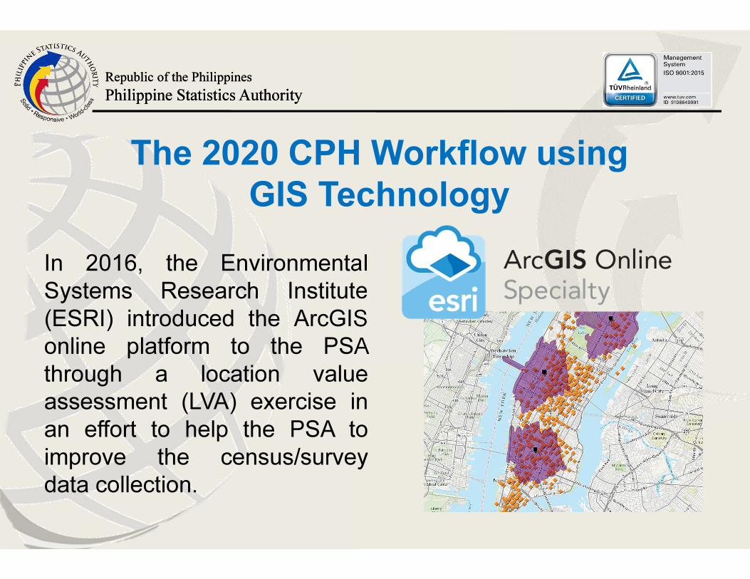
In 2016, the Environmental
Systems Research Institute
(ESRI) introduced the ArcGIS
online platform to the PSA
through a location value
assessment (LVA) exercise in
an effort to help the PSA to
improve the census/survey
data collection.
The 2020 CPH Workflow using
GIS Technology
Republic of the Philippines
Philippine Statistics Authority
Republic of the Philippines
Philippine Statistics Authority
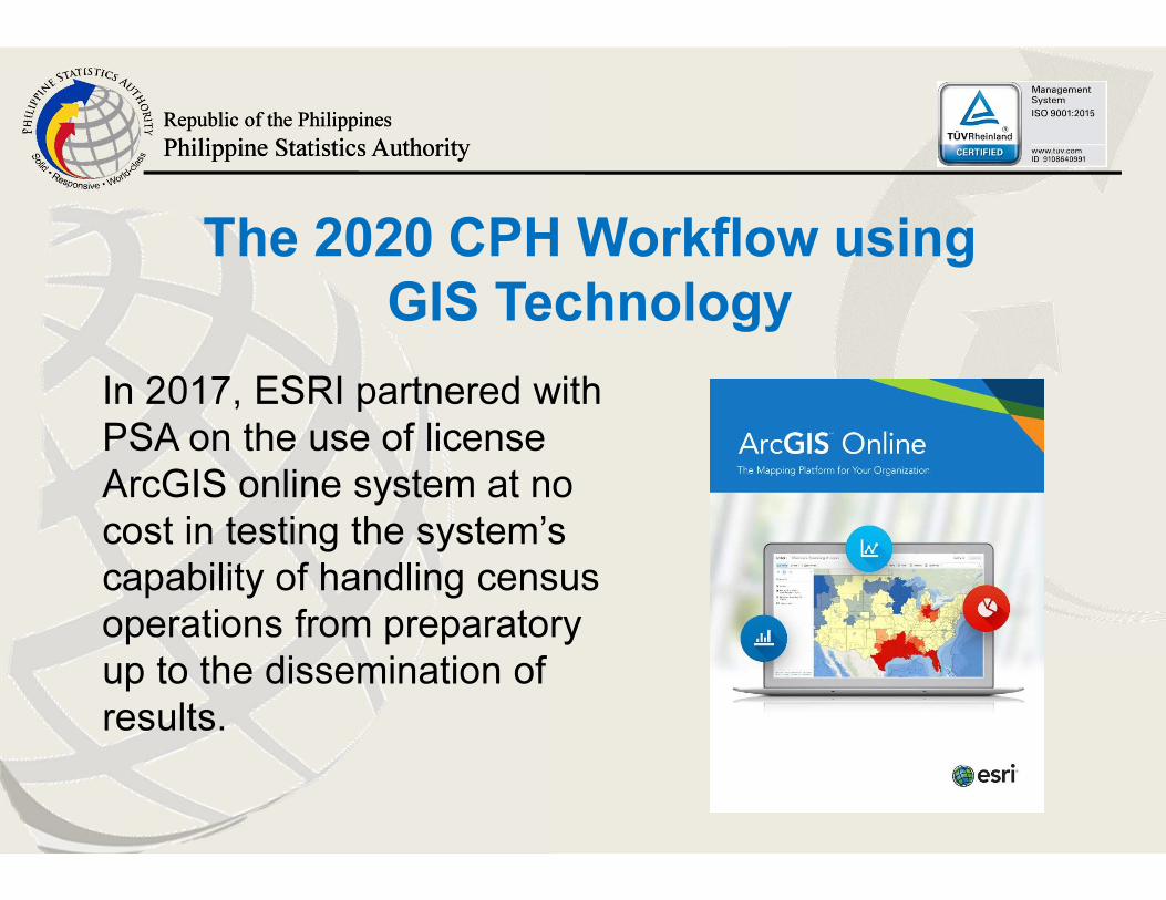
In 2017, ESRI partnered with
PSA on the use of license
ArcGIS online system at no
cost in testing the system’s
capability of handling census
operations from preparatory
up to the dissemination of
results.
The 2020 CPH Workflow using
GIS Technology
Republic of the Philippines
Philippine Statistics Authority
Republic of the Philippines
Philippine Statistics Authority
The 2020 CPH Workflow using
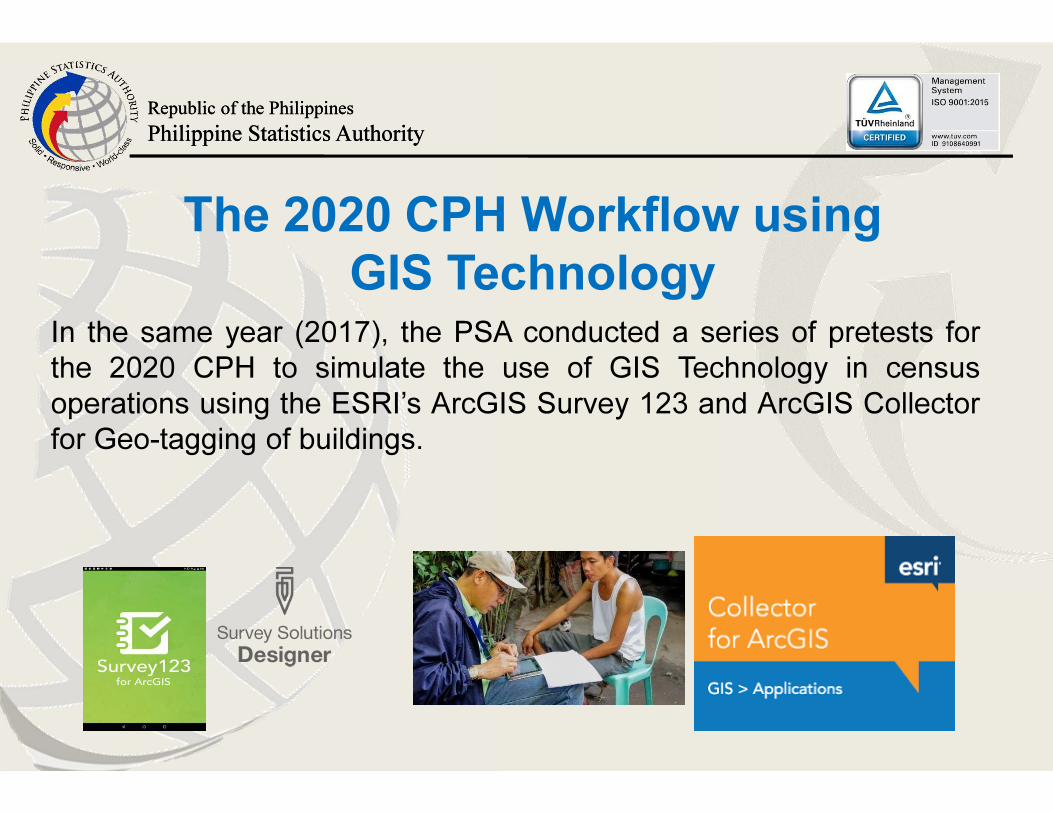
GIS TechnologyIn the same year (2017), the PSA conducted a series of pretests for
the 2020 CPH to simulate the use of GIS Technology in census
operations using the ESRI’s ArcGIS Survey 123 and ArcGIS Collector
for Geo-tagging of buildings.
Republic of the Philippines
Philippine Statistics Authority
Republic of the Philippines
Philippine Statistics Authority
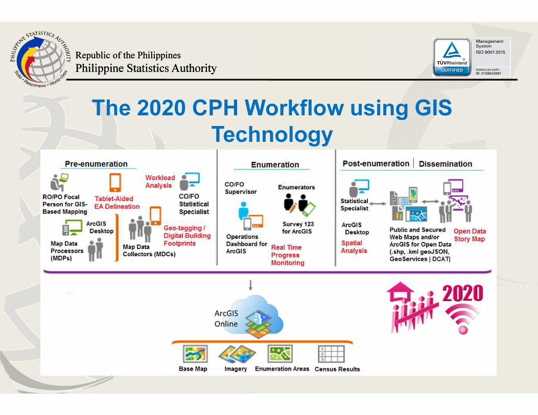
The 2020 CPH Workflow using GIS
Technology
Republic of the Philippines
Philippine Statistics Authority
Republic of the Philippines
Philippine Statistics Authority
The 2020 CPH Workflow using
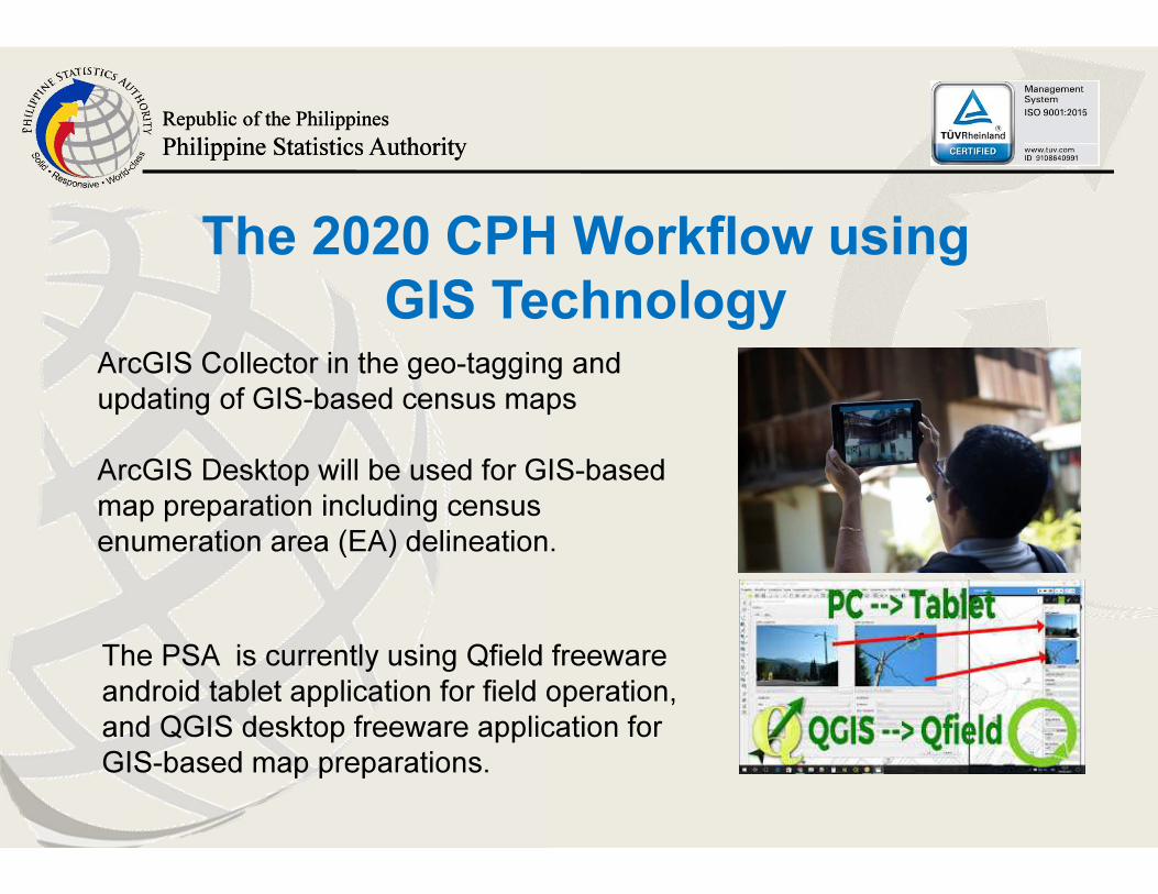
GIS TechnologyArcGIS Collector in the geo-tagging and
updating of GIS-based census maps
ArcGIS Desktop will be used for GIS-based
map preparation including census
enumeration area (EA) delineation.
The PSA is currently using Qfield freeware
android tablet application for field operation,
and QGIS desktop freeware application for
GIS-based map preparations.
Republic of the Philippines
Philippine Statistics Authority
Republic of the Philippines
Philippine Statistics Authority
The 2020 CPH Workflow using
GIS Technology
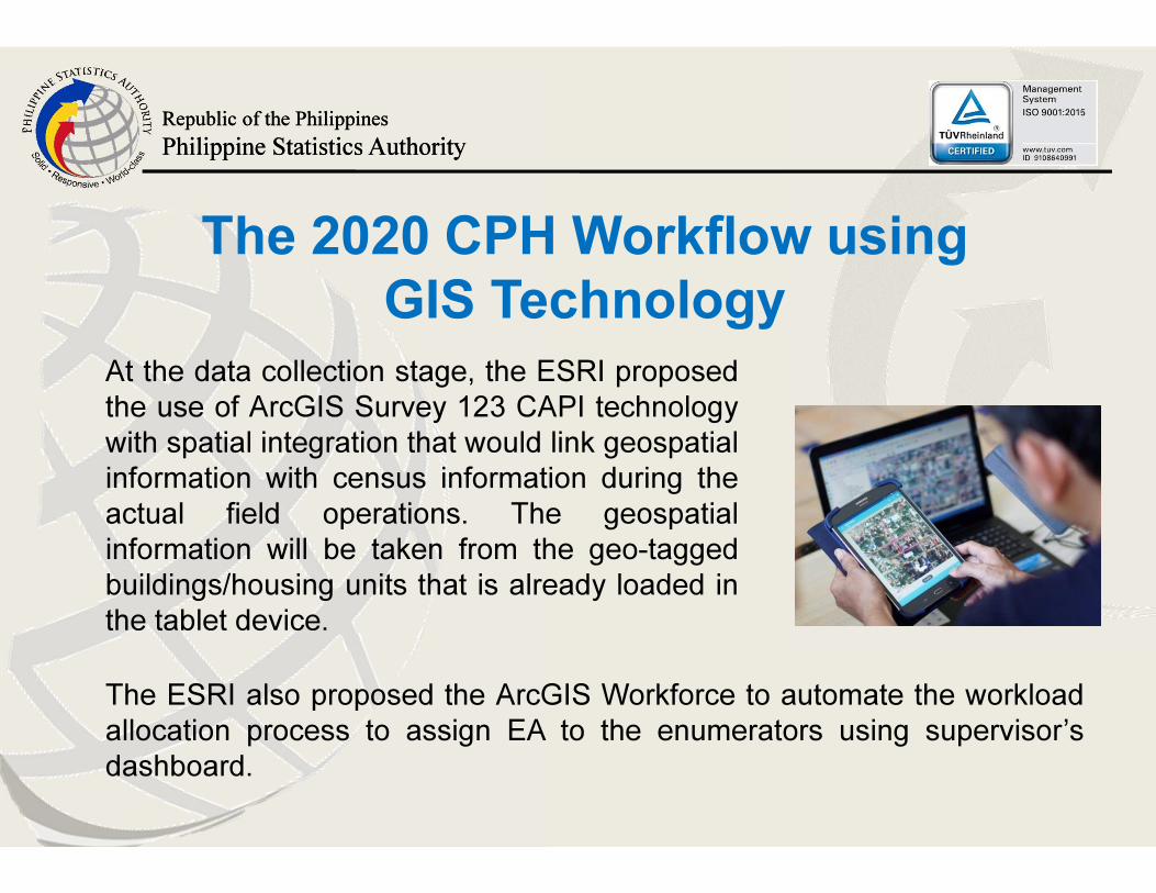
At the data collection stage, the ESRI proposed
the use of ArcGIS Survey 123 CAPI technology
with spatial integration that would link geospatial
information with census information during the
actual field operations. The geospatial
information will be taken from the geo-tagged
buildings/housing units that is already loaded in
the tablet device.
The ESRI also proposed the ArcGIS Workforce to automate the workload
allocation process to assign EA to the enumerators using supervisor’s
dashboard.
Republic of the Philippines
Philippine Statistics Authority
Republic of the Philippines
Philippine Statistics Authority
The 2020 CPH Workflow using
GIS Technology
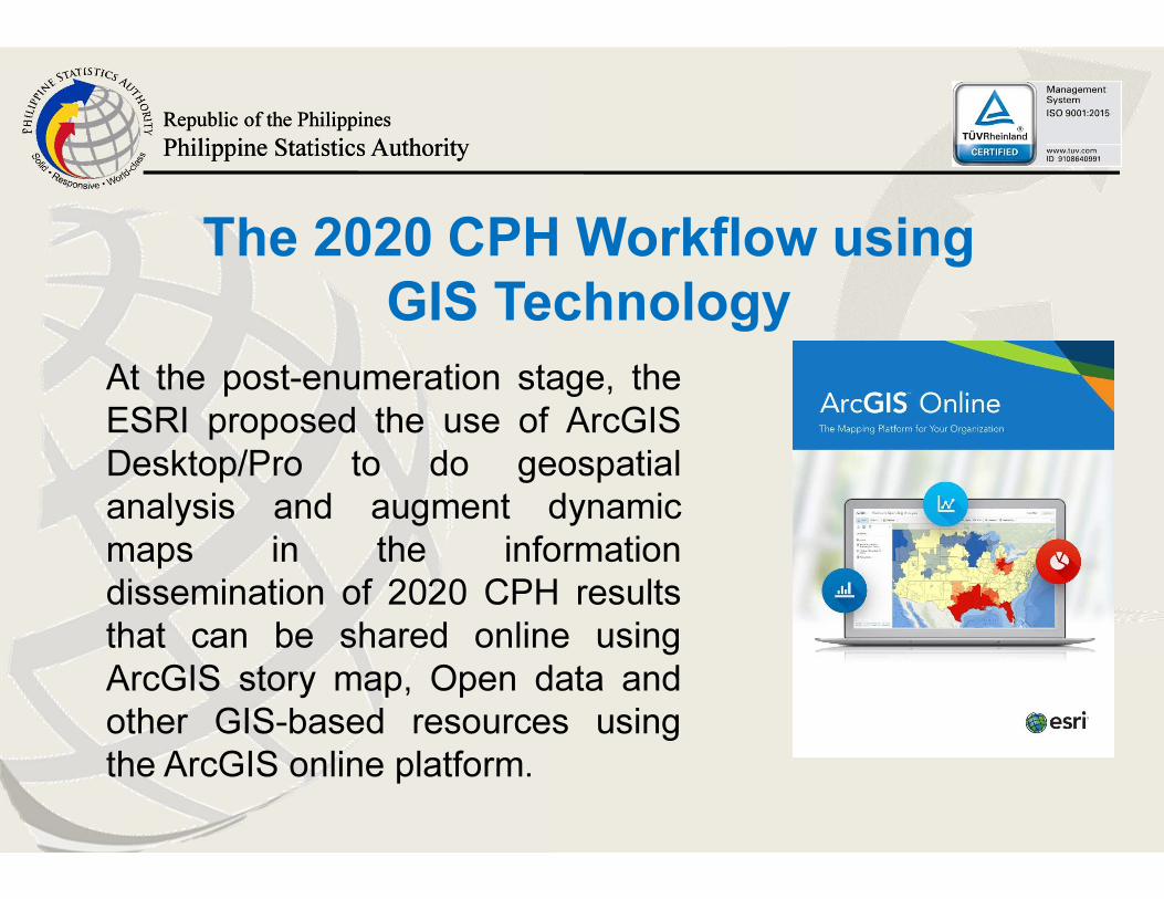
At the post-enumeration stage, the
ESRI proposed the use of ArcGIS
Desktop/Pro to do geospatial
analysis and augment dynamic
maps in the information
dissemination of 2020 CPH results
that can be shared online using
ArcGIS story map, Open data and
other GIS-based resources using
the ArcGIS online platform.
Republic of the Philippines
Philippine Statistics Authority
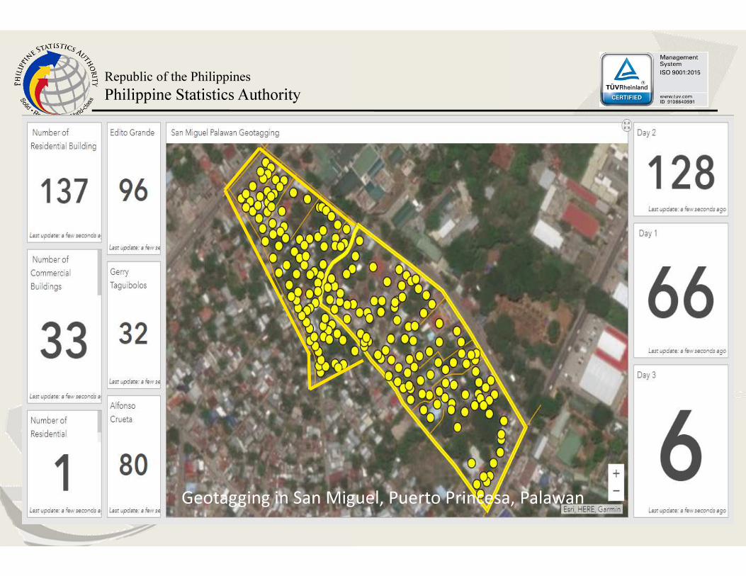
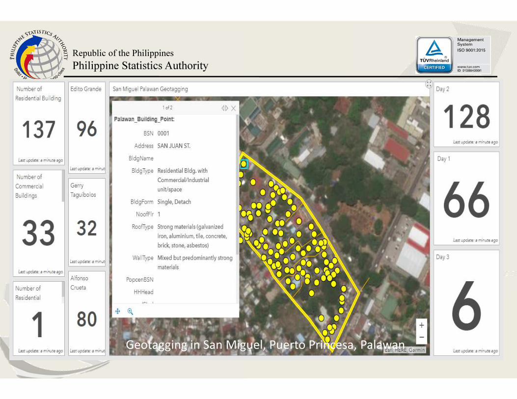
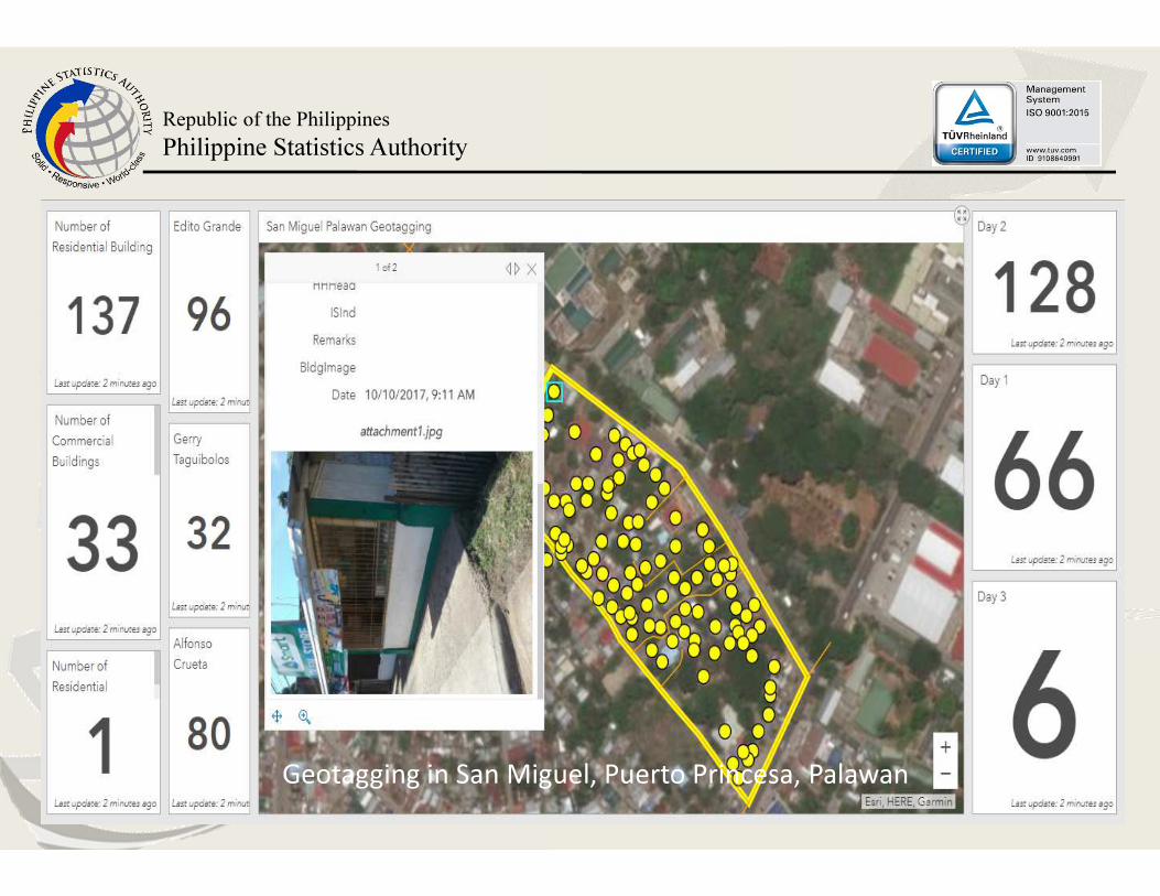
Geotagging in San Miguel, Puerto Princesa, Palawan
Republic of the Philippines
Philippine Statistics Authority
Geotagging in San Miguel, Puerto Princesa, Palawan
Republic of the Philippines
Philippine Statistics Authority
Geotagging in San Miguel, Puerto Princesa, Palawan
Republic of the Philippines
Philippine Statistics Authority
Republic of the Philippines
Philippine Statistics Authority
Thank You!
http://www.psa.gov.ph/PhilippineStatisticsAuthority
@PSAgovph