topographical surveying
TRANSCRIPT
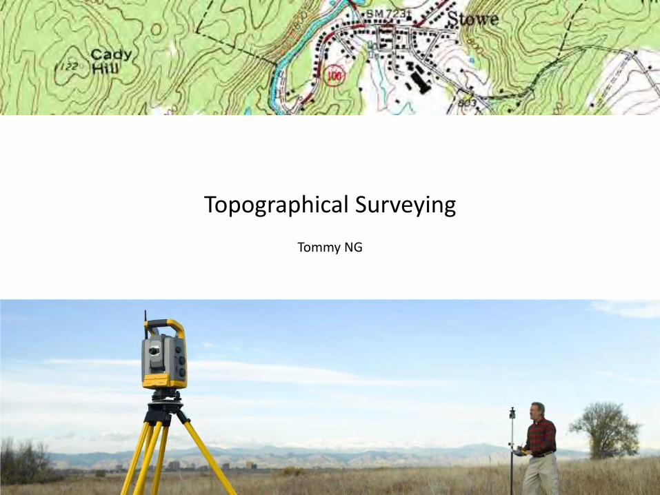
Topographical Surveying
Tommy NG

What is Topographical Surveying?
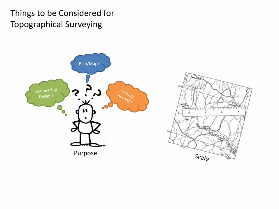
Things to be Considered for Topographical Surveying
Plan/Map?
Purpose
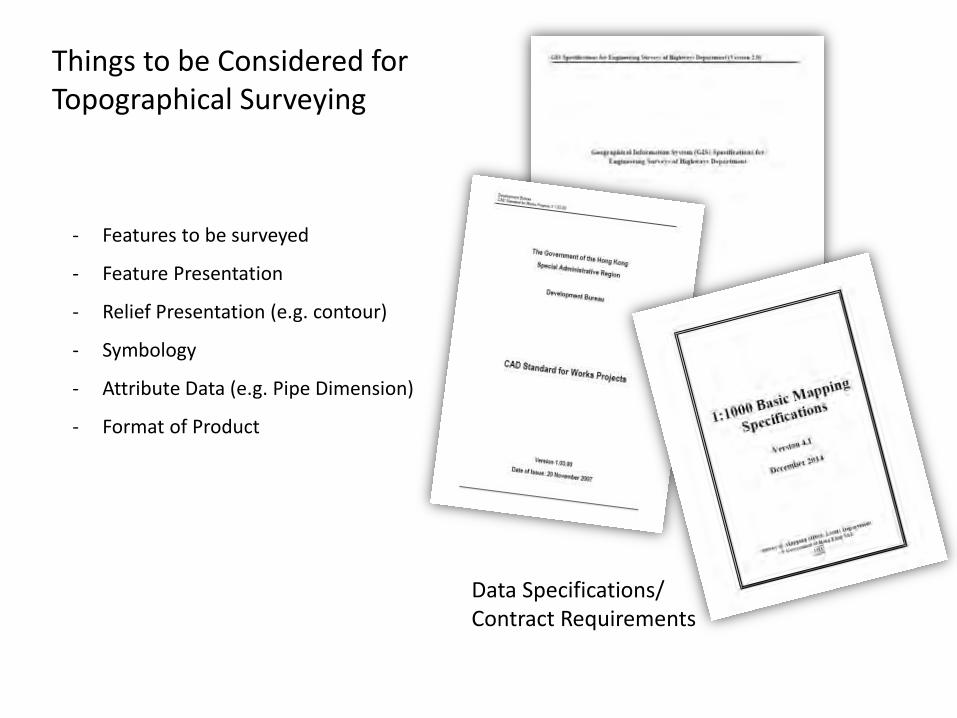
Data Specifications/ Contract Requirements
- Features to be surveyed
- Feature Presentation
- Relief Presentation (e.g. contour)
- Symbology
- Attribute Data (e.g. Pipe Dimension)
- Format of Product
Things to be Considered for Topographical Surveying
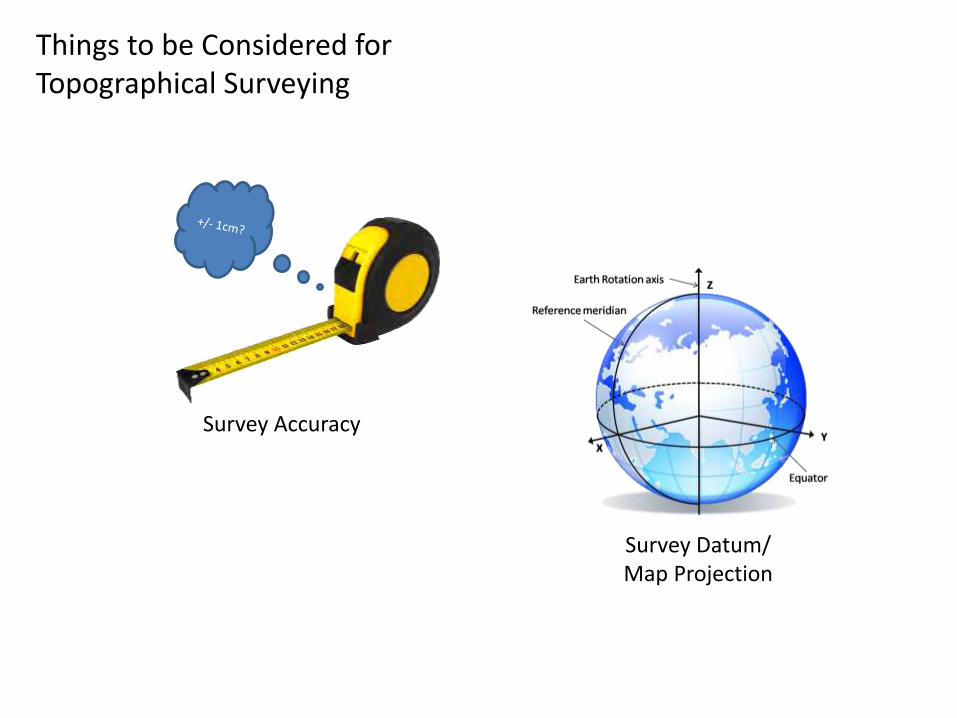
Survey Accuracy
Survey Datum/ Map Projection
Things to be Considered for Topographical Surveying
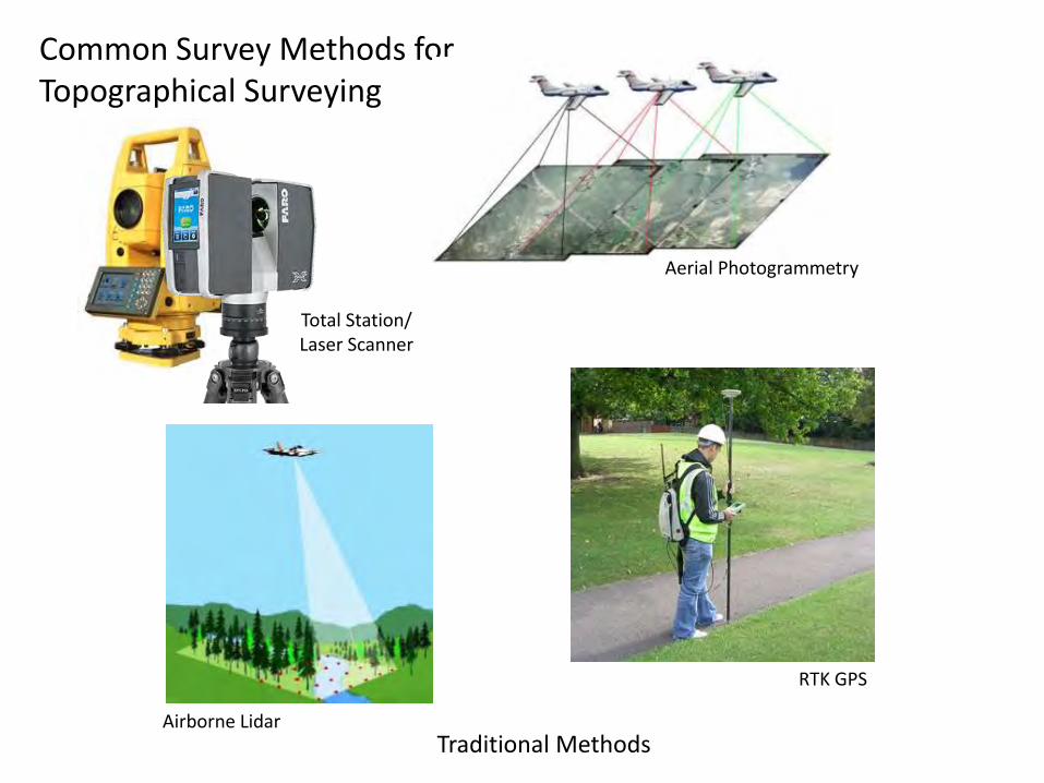
Common Survey Methods for Topographical Surveying
Traditional Methods
Total Station/ Laser Scanner
Aerial Photogrammetry
RTK GPS
Airborne Lidar
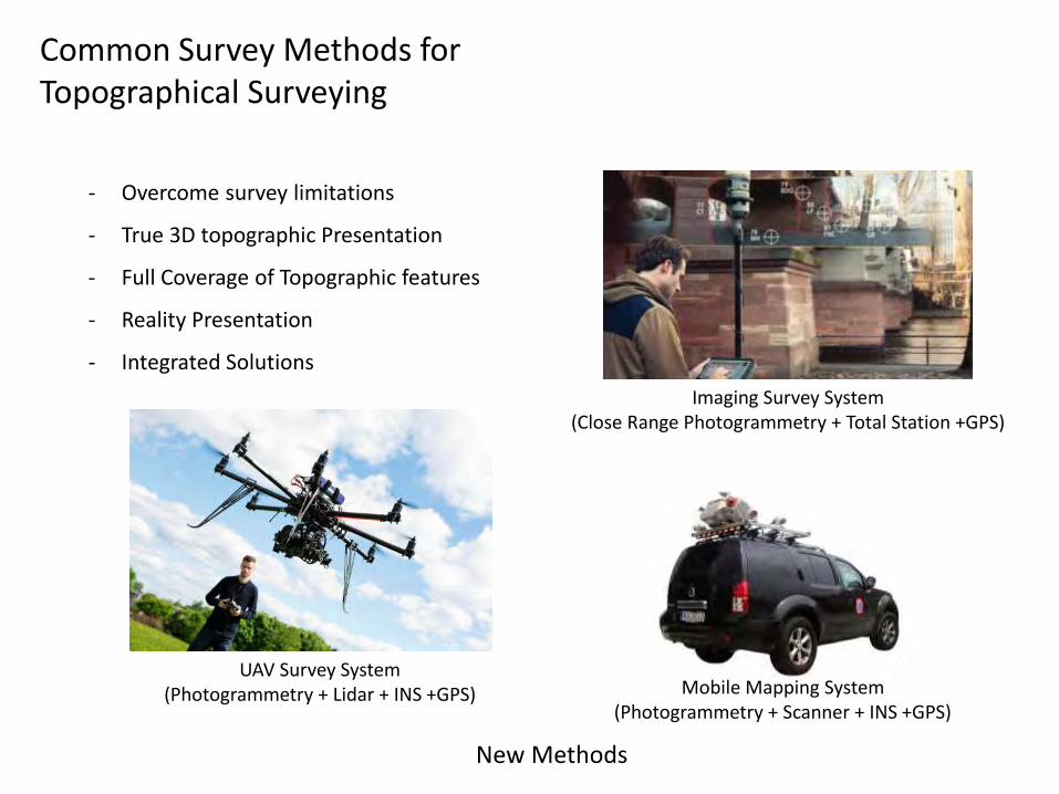
Common Survey Methods for Topographical Surveying
New Methods
- Overcome survey limitations
- True 3D topographic Presentation
- Full Coverage of Topographic features
- Reality Presentation
- Integrated Solutions
Imaging Survey System (Close Range Photogrammetry + Total Station +GPS)
UAV Survey System (Photogrammetry + Lidar + INS +GPS) Mobile Mapping System
(Photogrammetry + Scanner + INS +GPS)

Things you must know…
- Factors affecting design of topo survey
- Features of topo survey
- Choice of instrument
- Mapping specification in HK
- Types of maps in HK
- Basic working principles of different instruments
- Coordinate systems in HK
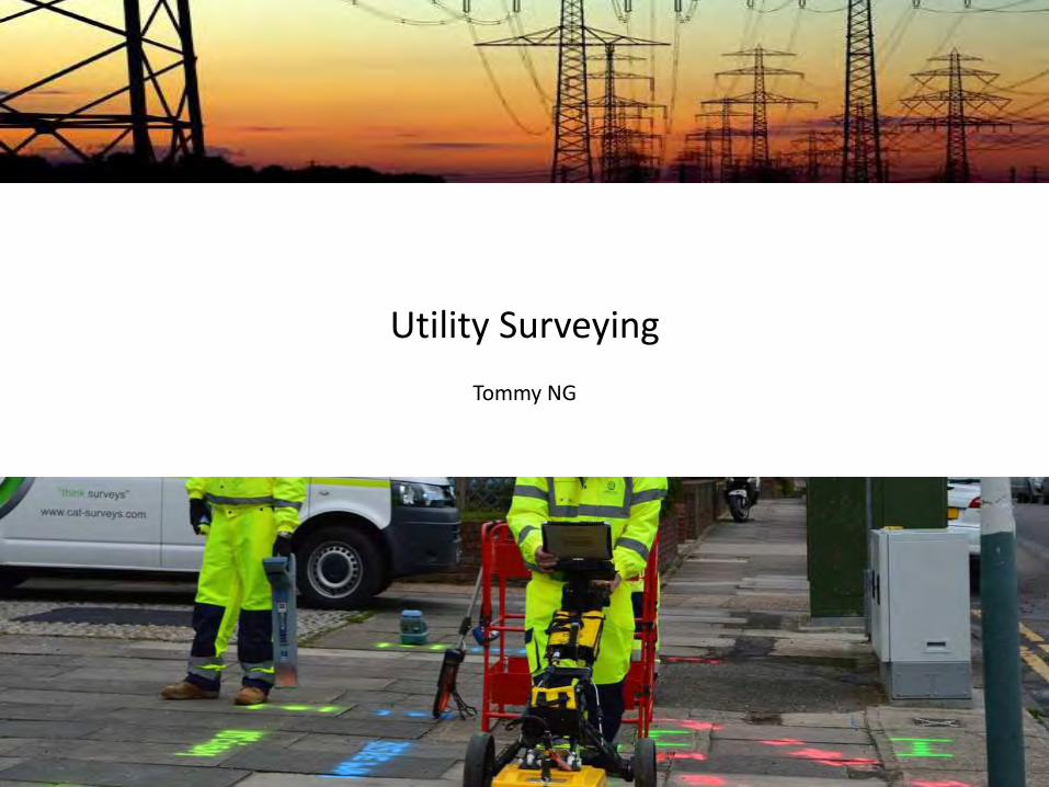
Utility Surveying
Tommy NG
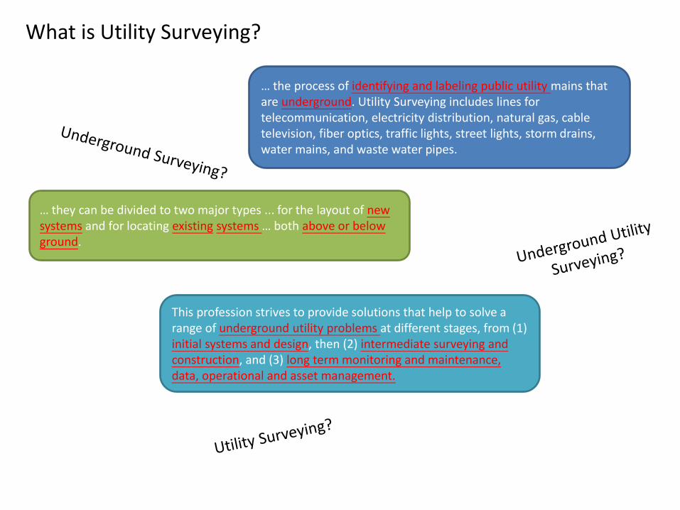
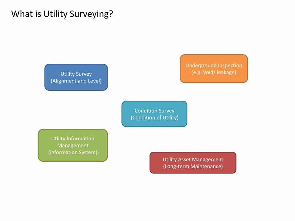
What is Utility Surveying?
… the process of identifying and labeling public utility mains that are underground. Utility Surveying includes lines for telecommunication, electricity distribution, natural gas, cable television, fiber optics, traffic lights, street lights, storm drains, water mains, and waste water pipes.
This profession strives to provide solutions that help to solve a range of underground utility problems at different stages, from (1) initial systems and design, then (2) intermediate surveying and construction, and (3) long term monitoring and maintenance, data, operational and asset management.
… they can be divided to two major types ... for the layout of new systems and for locating existing systems … both above or below ground.
What is Utility Surveying?
Utility Survey (Alignment and Level)
Condition Survey (Condition of Utility)
Utility Information Management
(Information System)
Underground Inspection (e.g. Void/ leakage)
Utility Asset Management (Long-term Maintenance)
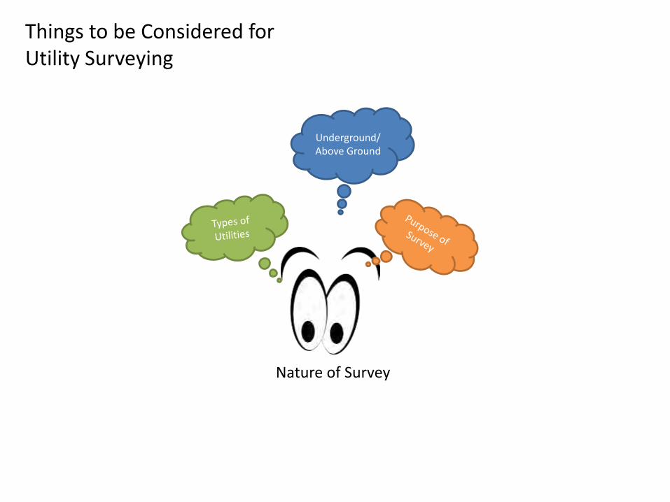
Things to be Considered for Utility Surveying
Underground/ Above Ground
Nature of Survey
Things to be Considered for Utility Surveying
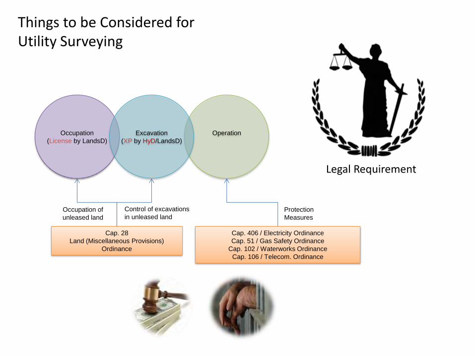
Legal Requirement
Occupation
(License by LandsD)
Operation
Excavation
(XP by HyD/LandsD)
Cap. 406 / Electricity Ordinance
Cap. 51 / Gas Safety Ordinance
Cap. 102 / Waterworks Ordinance
Cap. 106 / Telecom. Ordinance
Cap. 28
Land (Miscellaneous Provisions)
Ordinance
Occupation of
unleased land
Control of excavations
in unleased land Protection
Measures
Things to be Considered for Utility Surveying
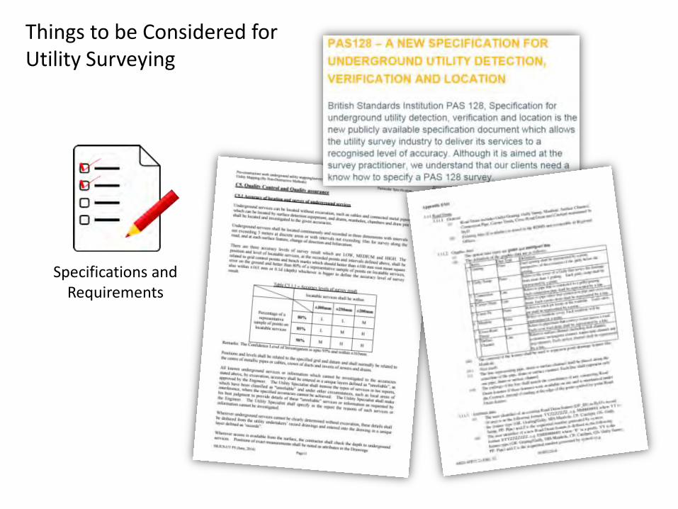
Specifications and Requirements
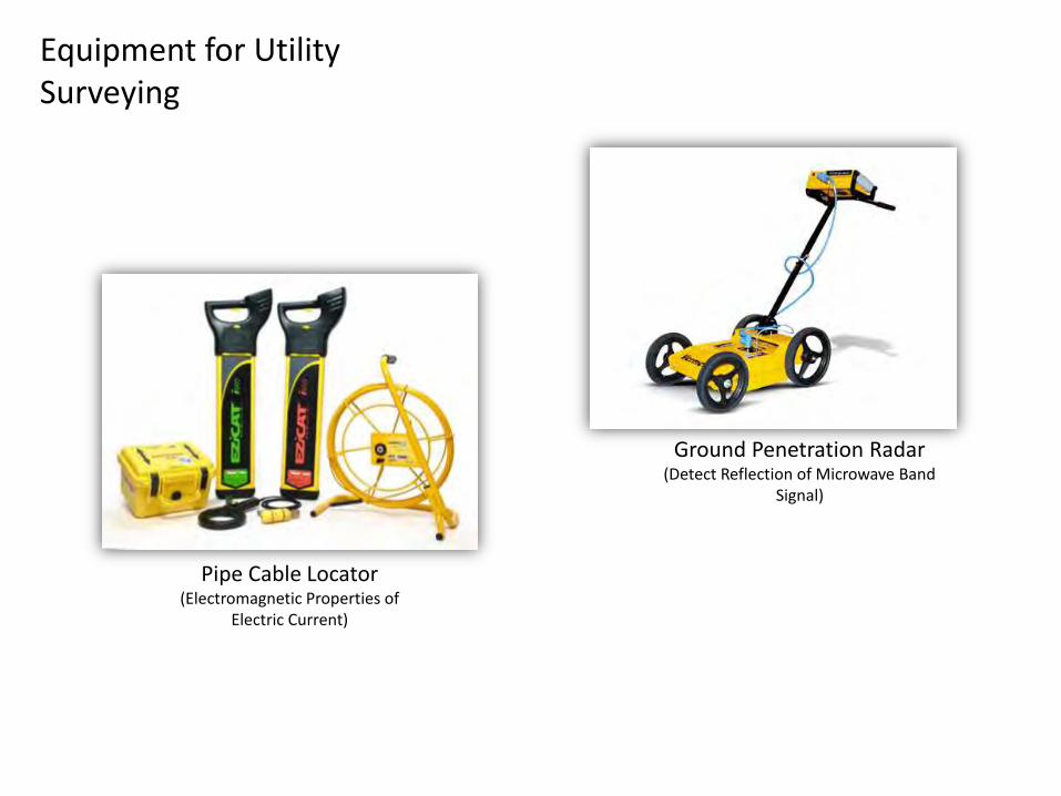
Equipment for Utility Surveying
Pipe Cable Locator (Electromagnetic Properties of
Electric Current)
Ground Penetration Radar (Detect Reflection of Microwave Band
Signal)
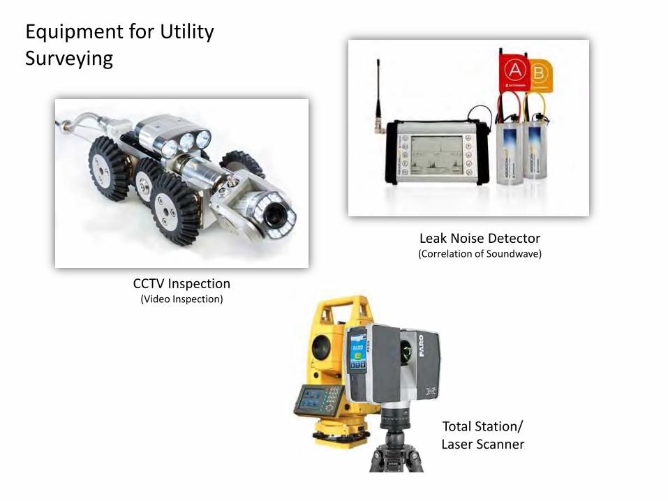
Equipment for Utility Surveying
CCTV Inspection (Video Inspection)
Leak Noise Detector (Correlation of Soundwave)
Total Station/ Laser Scanner
Things you must know…
- Basic understanding on different utility surveying equipment
- Survey procedures for PCL and GPR
- Data handling procedure of GPR
- Basic working principles of different equipment
- Control and management of excavation works in HK