surveying, mapping - · pdf filesurveying, mapping o pvts reg parks, ba/s ... a licensed land...
TRANSCRIPT

PVTS Reg Parks, BA/S, MS, LSIT Associate Land Surveyor P.O. Box 4258 Napa, CA 94558-4258 Office: (707) 257-8041 Cell: (707) 246-6960 Fax: (707) 257-8041
Adjunct Instructor
Civil Engineering, Surveying & Geospatial Technology, Applied Technology Department, Santa Rosa Junior College
http://www.pvts.net/ http://online.santarosa.edu/homepage/rparks/
SURVEYING, MAPPING &
GEOSPATIAL CONSULTANTS
COMPLETE GEOSPATIAL SERVICES over 30 years combined experience
Jerry Miller, BS, PLS Professional Land Surveyor P.O. Box 717 Santa Rosa, CA 95402-0717 Office: (707) 527-4376 Fax: (707) 527-4849
Program Coordinator/Instructor
Civil Engineering, Surveying & Geospatial Technology, Applied Technology Department, Santa Rosa Junior College
http://online.santarosa.edu/homepage/jmiller/
What is Land Surveying? In California, a licensed land surveyor is considered to be
an unbiased steward of the public and private cadastral
lands. He or she is trained to plan and perform high-order
measurements for boundary, construction and civil
engineering projects.
Boundary Surveys Cadastral surveys involve the description and location of
property boundaries and easements on the surface of the
earth.
Control and Geodetic Surveys Control surveys involve setting reference locations for all
other types of surveys and geospatial projects. Geodetic
surveys involve setting control over great distances where
curvature of the earth affects the results.
Topographic Surveys Topographic and bathymetric surveys are involved with
locating fixed works and features above, on and below the
surface of the earth or a water body.
Construction Surveys Construction or staking surveys are where design features
are transferred from a set of plans to the actual physical
construction site surface.
What are Geospatial Services? Geospatial services involve non-spatial data linkages
between mathematical models representing geographical
features. They also include professional engineering or
scientific analyses for various industries or businesses.
Raw geospatial field data are acquired or collected at a
level of precision and accuracy that is principally
performed by land surveyors. Attributed geospatial data
are field data linked to non-spatial databases containing
specific information for the project, map or model
features.
Geospatial services also include the correct design of a
geospatial project, acquisition of precise field data, the
proper methods of database creation and of spatial and
non-spatial data linkages. Examples follow:
- Land Surveys: satellite, aerial and terrestrial
- Engineering Studies and Surveys
- Environmental, Geological and Hydrological Studies
- Biological, Botanical and Ecological Studies
- Architectural and Landscaping Projects
- Agricultural Facilities Maps and GIS
- Commercial Facilities Maps and GIS
- High Definition 3D Laser Scanning
Example of Geospatial Mapping for GIS
What We Provide to Our Clients As practicing land surveyors and college instructors in land
surveying, civil engineering and GIS; the collaborative
efforts of Jerry Miller and PVTS can deliver accurate and
detailed surveys and comprehensive geospatial analyses
tied to survey-grade field locations of the respective
projects or models. The team also provides up-to-date
seminars and training in all areas of Geospatial Analysis,
field data collection, surveying and mapping.
We serve the private sector, public sector, professional
engineers and other land surveyors.
Allow us to provide you with a quote for your next project.
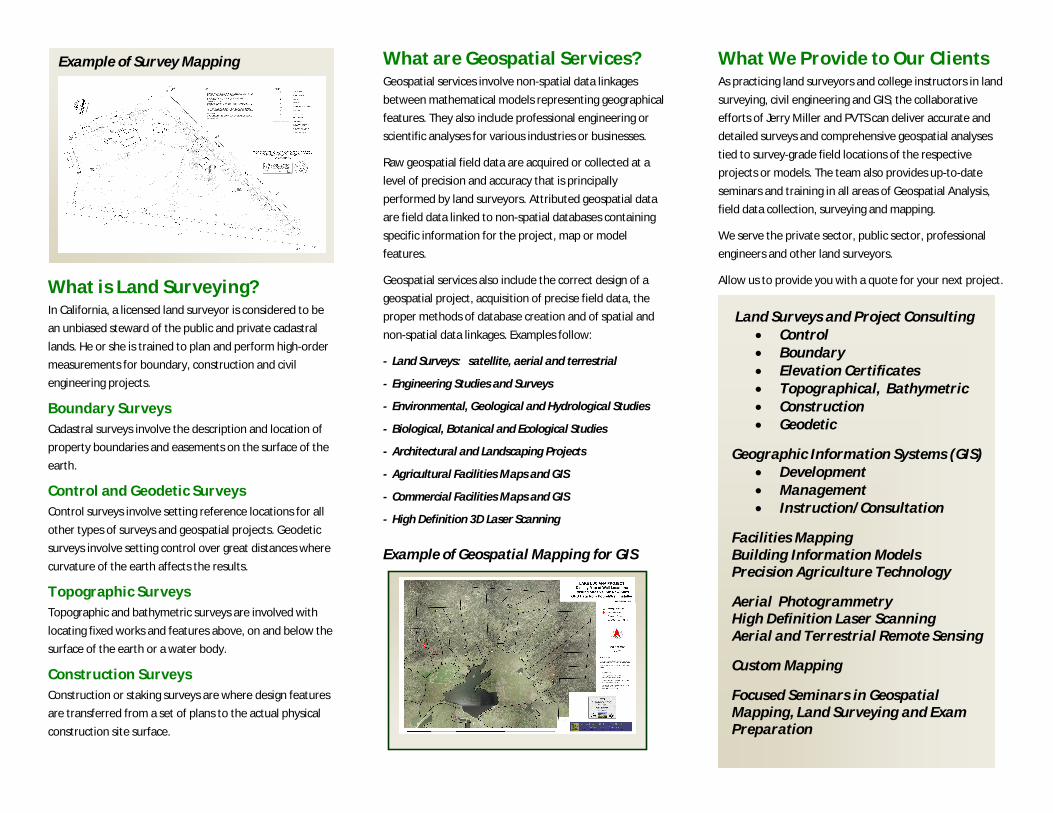
Example of Survey Mapping
Land Surveys and Project Consulting Control Boundary Elevation Certificates Topographical, Bathymetric Construction Geodetic
Geographic Information Systems (GIS) Development Management Instruction/Consultation
Facilities Mapping Building Information Models Precision Agriculture Technology
Aerial Photogrammetry High Definition Laser Scanning Aerial and Terrestrial Remote Sensing
Custom Mapping
Focused Seminars in Geospatial Mapping, Land Surveying and Exam Preparation