real-time monitoring and forecasting of rift valley fever ... · of heavy rains and prolonged...
TRANSCRIPT
Food Chain Crisis | EmErgEnCy PrEvEntion systEm | inFormation shEEts
FAO’s RVF EARly WARning systEmThe relationship between environmental and climatic factors and the occurrence of RVF is well known, particularly for Eastern and West Africa. With the increasing availability of near-real-time climate and environmental data from satellites and remote sensing tools, the first signals of a possible increase in vector abundance and, consequently,
in the risk of RVF occurrence can be identified, and information for prevention and risk mitigation provided.
FAO, in collaboration with the Goddard Space Flight Center, the World Health Organization (WHO), the World Organisation for Animal Health (OIE) and other partners, has been monitoring climatic conditions to forecast the risk of RVF vector amplification in Africa
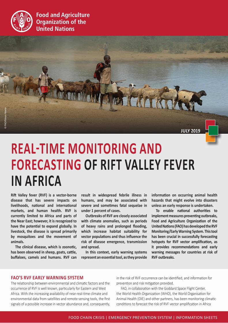
Rift Valley fever (RVF) is a vector-borne disease that has severe impacts on livelihoods, national and international markets, and human health. RVF is currently limited to Africa and parts of the Near East; however, it is recognized to have the potential to expand globally. In livestock, the disease is spread primarily by mosquitoes and the movement of animals.
The clinical disease, which is zoonotic, has been observed in sheep, goats, cattle, buffaloes, camels and humans. RVF can
result in widespread febrile illness in humans, and may be associated with severe and sometimes fatal sequelae in under 1 percent of cases.
Outbreaks of RVF are closely associated with climate anomalies, such as periods of heavy rains and prolonged flooding, which increase habitat suitability for vector populations and thus influence the risk of disease emergence, transmission and spread.
In this context, early warning systems represent an essential tool, as they provide
information on occurring animal health hazards that might evolve into disasters unless an early response is undertaken.
To enable national authorities to implement measures preventing outbreaks, Food and Agriculture Organization of the United Nations (FAO) has developed the RVF Monitoring/Early Warning System. This tool has been crucial in successfully forecasting hotspots for RVF vector amplification, as it provides recommendations and early warning messages for countries at risk of RVF outbreaks.
REAl-TIME MONITORINg ANd FOREcAsting OF RiFt VAllEy FEVER in AFRicA
Food Chain Crisis | EmErgEnCy PrEvEntion systEm | inFormation shEEts
© F
AO/S
imon
Mai
na
JUly 2019

© F
AO
, 201
9C
A55
11E
N/1
/07.
19
Some rights reserved. This work is availableunder a CC BY-NC-SA 3.0 IGO licence
KEY FACTS
FAO-Rift Valley fever (RVF)
for the past few years, and has provided recommendations and sent early warning messages to countries at risk of RVF outbreaks.
The dynamic prediction model used by FAO builds upon the work by Anyamba et al.,(2009; 2010), who developed a monitoring and risk mapping system that utilizes vegetation and rainfall anomalies as a proxy for ecological dynamics to map areas at potential risk of RVF in Eastern Africa.
The FAO RVF Early Warning System has three main components:
■ an RVF climate-based model; ■ a tool to ascertain the current state and
forecasts of the El Niño Southern Oscillation (ENSO); and
■ current and forecast regional rainfall maps.The system produces monthly risk maps and
assessments.
FROM A dESkTOp- TO A clOUd-bASEd plATFORMThe innovative part of FAO’s work consists in its calibration and implementation of the RVF climate-based model in the Google Earth Engine (GEE) platform and its development of an early warning tool that enables near-real-time monitoring and forecasting of RVF at-risk areas in Africa, with a spatial resolution of 250 m.
GEE is a cloud-based platform for planetary-scale climatic and environmental data analysis, and is an effective solution for the acquisition, processing and analysis of remote sensing data.
With support from the United States Agency for International Development (USAID), a dedicated team at FAO headquarters continuously monitors global weather, ecological conditions and the RVF situation to provide decision-makers and health officials with timely RVF risk maps. This enables prevention and controlling of RVF outbreaks in livestock and humans, and the implementation
of mitigation measures to reduce RVF impact on the livelihoods of pastoralists and rural people in Africa.
The FAO RVF Early Warning System successfully forecasted the RVF events that occurred between 2017 and 2019, specifically those in the Gambia, Kenya, Mauritania, Rwanda, Senegal, South Africa and Sudan. In particular, FAO conducted timely risk assessments and issued RVF alerts several weeks before the actual detection and reporting of the outbreak in the countries of interest.
For example, in 2017, FAO and NASA conducted a joint risk assessment and sent an alert to West Africa on 15 September 2017, that is, approximately three months before the first human case was reported in the Gambia (on 3 January 2018).
The March 2018 risk assessment output for Kenya highlighted the likelihood of RVF occurrence two months before the outbreak was reported in May/June 2018. The surveillance and diagnostic capacities built through the USAID-funded Global Health Security Agenda (GHSA) programme and the issuance of this risk assessment output – and two subsequent alerts in May and June – prompted the government in neighbouring Ethiopia to proactively deploy surveillance teams along the Kenyan border to monitor possible RVF outbreaks.
The tool is also used for retrospective analysis of RVF outbreaks. Although the FAO RVF Early Warning System is a prototype and is currently not available to the public, it is a promising monitoring and forecasting tool for RVF and other climate-driven zoonotic diseases.
Within a project funded by Ireland, FAO is developing an RVF Early Warning/Decision Support Tool (RVF DST) that integrates the risk maps generated on a monthly basis with recommended actions, to better support and guide decision-making.
WebsiteSwww.fao.org/food-chain-crisis
www.fao.org/animal-health/en/
Food and Agriculture Organization of the United Nations
RVF IS AN AcUTE, VEcTOR-bORNE, VIRAl dISEASE ThAT pREdOMINANTly AFFEcTS
ANIMAlS; hOWEVER, IT cAN AlsO inFEct hUmAns
RVF AppEARS TO bE RESTRIcTEd TO AFRIcA
ANd ThE NEAR EAST
FAO hAS dEVElOpEd ThE RVF MONITORINg/EARly WARning tOOl tO FOREcAst
RVF EVENTS ANd TRIggER EARly RESpONSE
sEVERAl AlERts hAVE bEEN SENT TO cOUNTRIES
AT RISk IN ThE pAST FOUR yEARs in thE REgiOns OF:
EAstERn AFRicA (2015, 2016, 2017 ANd 2018);
WEST AFRIcA (2016 ANd 2017); ANd SOUThERN AFRIcA (2018)
228 RVF RISk MApS hAVE bEEN pROdUcEd FOR AFRicA sincE 2002
RIFT VAllEy FEVER (RVF)
Real-time monitoRing and foRecasting of Rift Valley feVeR in afRica ©
FAO/Anim
al Health