location meets social networking larry magid co-director, connectsafely.org founder, safekids.com...
TRANSCRIPT

Location meets social networking
Larry Magidco-director, ConnectSafely.orgfounder, SafeKids.com

Location-Based ServicesA service that depends on the network knowing your location
Examples include:
•Emergency 911•Navigation•Vehicle Assistance (OnStar)•Child Finder•Advertising•Local Search•Traffic applications•Automotive Vehicle Location (Fleet tracking)•Asset Tracking•Personnel Tracking•Social Mapping•Self Guided Tours•Finding elderly or individuals with Alzheimers

Estimated size of LBS market
• At least $750 Million in 2007 US & Canada
• Estimated to grow by at least 75 to 100% next two years
Estimates include WiFi but not RFID
Source: David H. Williams; LBS Globe.com, E911 LBS Consulting

Why phones have location capability
The Federal Communication Commission’s Enhanced 911 Rules
• Phase 1 requires carriers, upon valid request by a local Public Safety Answering Point (PSAP), to report the telephone number of a wireless 911 caller and the location of the antenna that received the call.
• Phase II requires wireless carriers to provide far more precise location information, within 50 to 300 meters in most cases.
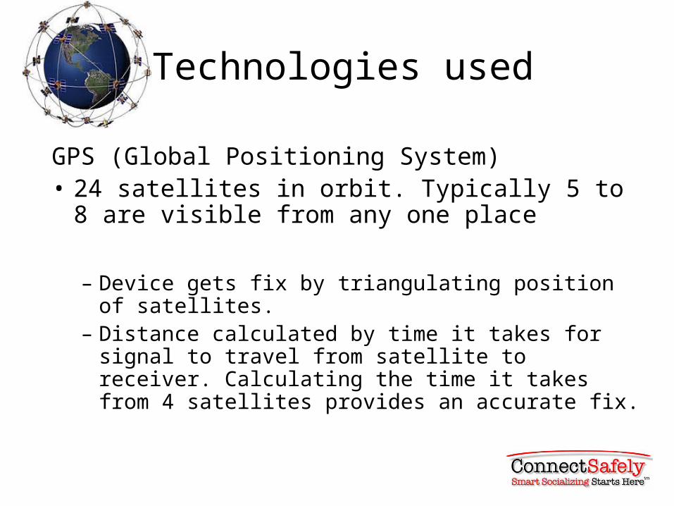
Technologies used
GPS (Global Positioning System)• 24 satellites in orbit. Typically 5 to 8 are visible
from any one place
– Device gets fix by triangulating position of satellites. – Distance calculated by time it takes for signal to travel
from satellite to receiver. Calculating the time it takes from 4 satellites provides an accurate fix.
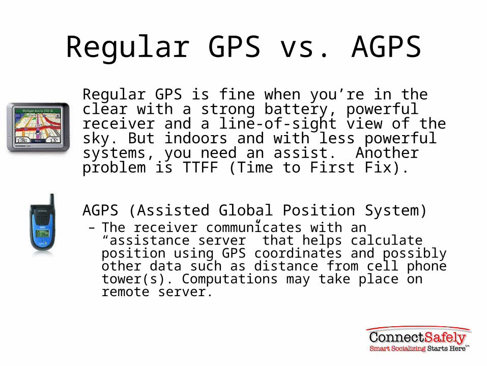
Regular GPS vs. AGPSRegular GPS is fine when you’re in the clear with a strong battery, powerful receiver and a line-of-sight view of the sky. But indoors and with less powerful systems, you need an assist. Another problem is TTFF (Time to First Fix).
AGPS (Assisted Global Position System)– The receiver communicates with an “assistance server”
that helps calculate position using GPS coordinates and possibly other data such as distance from cell phone tower(s). Computations may take place on remote server.

Extra data from the networks
AGPS systems can also download map data, points of interests and other data on demand even to a device with limited storage capacity.
Telenav for example can plot gas stations based on gas prices.
Triangulation
• Triangulation (also known as trilateration) uses the known locations of two or more reference points, and the measured distance between the subject and each reference point.
Positioning relative to cell towers
• Whenever any device is in contact with a cell tower, it’s possible to determine which tower and, therefore, the approximate location within a general radius.
• When it can receive data from two towers, the fix is more accurate but still approximate.
• Three or more towers provides a reasonably accurate fix.

1 Point: Rough idea
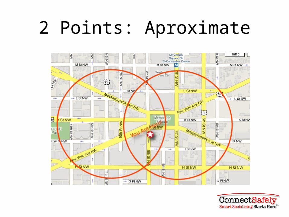
2 Points: Aproximate
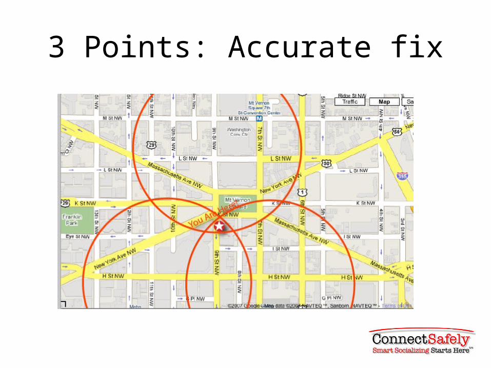
3 Points: Accurate fix
“Fancy Math Triangulation Off Cell Towers”*
U-TDOA (Uplink Time Difference of Arrival ) technology locates by comparing the time it takes signal to reach several Location Measurement Units installed at base stations. Accurate to within 50 meters. (www.3g.co.uk)
Advanced Forward Link Trilateration (AFLT)• Does not use satellites but phone takes time distance
measurements from nearby towers (ideally at least 3) to determine location
• *Sam Altman, Founder Loopt

WPS: Wifi Positioning System
• Skyhook Wireless has been driving the country mapping out WiFi hotspots in top 2,500 cities. Has database of > 16.5 million access points, public private & encrypted.
• A device can get a fix from a WiFi hotspot• Increasing number of handheld devices including
“Skype Phones” can access WiFi systems

Wi-Fi works best in dense urban areas
Source: Skyhook Wireless

AIM applications

Geo Tagging

Self-Reporting
Users tell the system where they are and/or what they are doing

Short distance technologies
• RFID – Now used to track assets. Could be used in hospitals to track patient movement within facility
– Ericsson’s Bluetooth Local Infotainment Point (BLIP). Download coupons as you walk near a BLIP device
Technology is neutral, uses aren’t
• Like many technologies, location-based services have an enormous potential for good but they can also be misused.
• The potential for misuse doesn’t invalidate the technology, but it does mean that we must be thoughtful about how we apply it, especially during its developmental stages.

Please join us in the online safety community’s forum for mobile &
fixed social networking.
[email protected]@ConnectSafely.org