itt visual information solutions - nps.gov homepage (u.s ... · † differences between envi and...
TRANSCRIPT
The information contained in this document pertains to software products and services that are subject to the controls of the Export Administration Regulations (EAR). The recipient is responsible for ensuring compliance to all applicable U.S. Export Control laws and regulations.
Bob Ternes – Senior Account ManagerBrandy Gamblin – Applications Engineer
ITT Visual Information Solutions
Visual Information Solutions
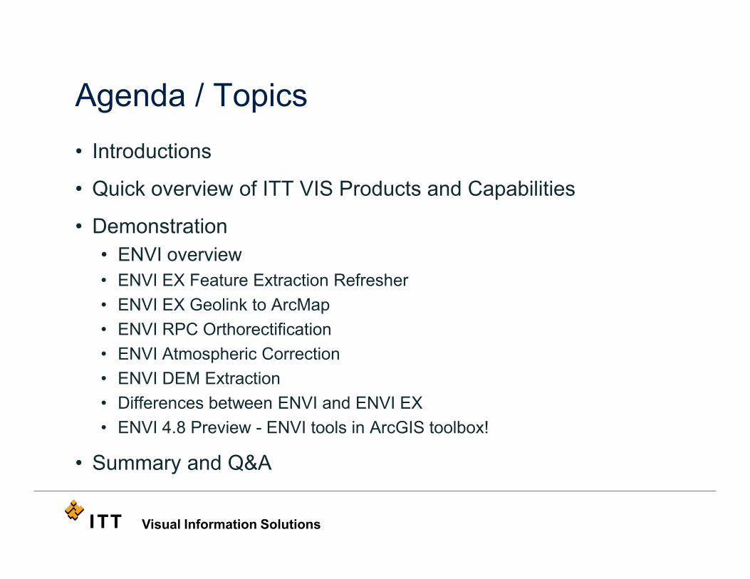
Agenda / Topics• Introductions
• Quick overview of ITT VIS Products and Capabilities
• Demonstration• ENVI overview • ENVI EX Feature Extraction Refresher• ENVI EX Geolink to ArcMap• ENVI RPC Orthorectification• ENVI Atmospheric Correction• ENVI DEM Extraction• Differences between ENVI and ENVI EX• ENVI 4.8 Preview - ENVI tools in ArcGIS toolbox!
• Summary and Q&A

Visual Information Solutions
Products and ServicesTrainingCustom Projects
Quick Overview of ITTVIS
Visual Information Solutions
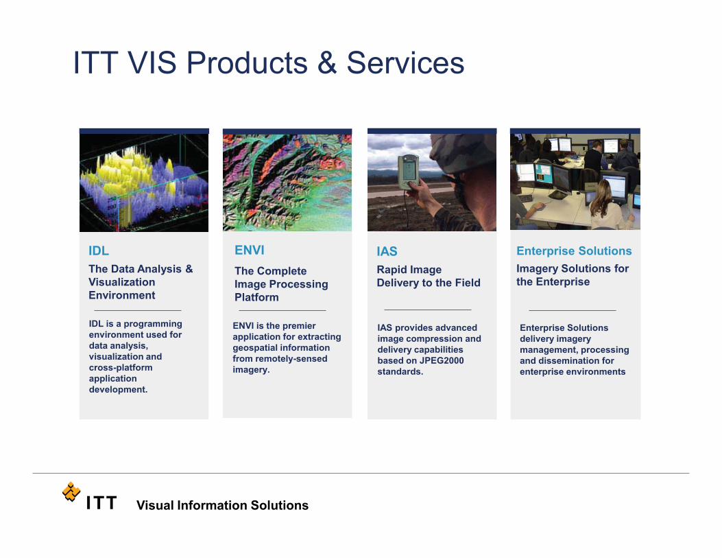
ITT VIS Products & Services
IDLThe Data Analysis & Visualization Environment
IDL is a programming environment used for data analysis, visualization and cross-platform application development.
IASRapid Image Delivery to the Field
IAS provides advanced image compression and delivery capabilities based on JPEG2000 standards.
Enterprise Solutions delivery imagery management, processing and dissemination for enterprise environments
Enterprise SolutionsImagery Solutions for the Enterprise
ENVI The Complete Image Processing Platform
ENVI is the premier application for extracting geospatial information from remotely-sensed imagery.

Visual Information Solutions
• Hands-on introductory, intermediate & advanced levels of product training
• Course customization to meet your individual requirements
• Training on specific industry topics of interest
• Expert instructors familiar with your industry
• On-site training at your location
ITT Visual Information Solutions offers a professional training series for its products and a wide variety of industry topics, as well as a host of customizable training options.
ITT-VIS Educational Services
Visual Information Solutions
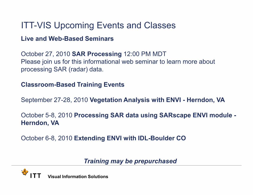
Live and Web-Based Seminars
October 27, 2010 SAR Processing 12:00 PM MDTPlease join us for this informational web seminar to learn more about processing SAR (radar) data.
Classroom-Based Training Events
September 27-28, 2010 Vegetation Analysis with ENVI - Herndon, VA
October 5-8, 2010 Processing SAR data using SARscape ENVI module -Herndon, VA
October 6-8, 2010 Extending ENVI with IDL-Boulder CO
Training may be prepurchased.
ITT-VIS Upcoming Events and Classes
Visual Information Solutions
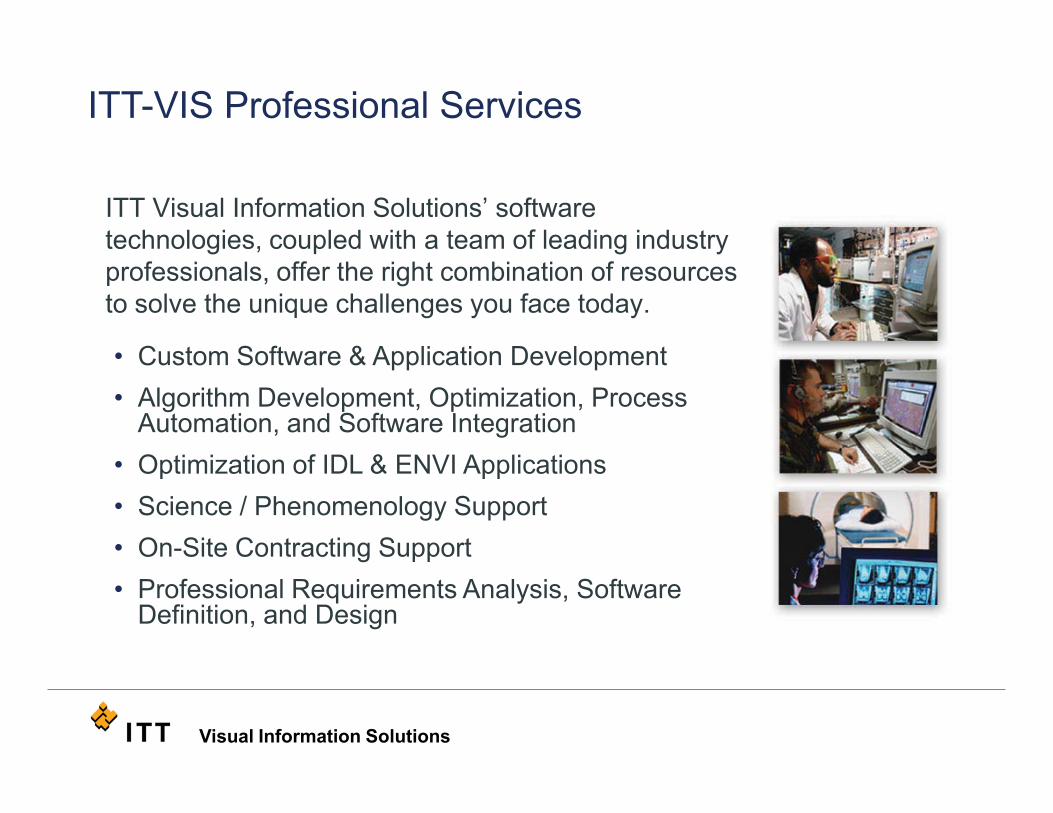
ITT Visual Information Solutions’ software technologies, coupled with a team of leading industry professionals, offer the right combination of resources to solve the unique challenges you face today.
• Custom Software & Application Development• Algorithm Development, Optimization, Process
Automation, and Software Integration• Optimization of IDL & ENVI Applications• Science / Phenomenology Support• On-Site Contracting Support• Professional Requirements Analysis, Software
Definition, and Design
ITT-VIS Professional Services
Visual Information Solutions
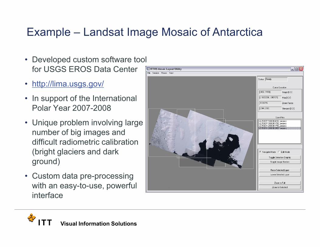
• Developed custom software tool for USGS EROS Data Center
• http://lima.usgs.gov/
• In support of the International Polar Year 2007-2008
• Unique problem involving large number of big images and difficult radiometric calibration (bright glaciers and dark ground)
• Custom data pre-processing with an easy-to-use, powerful interface
Example – Landsat Image Mosaic of Antarctica

Visual Information Solutions
Other ProcessesRPC OrthorectificationAtmospheric DiscussionDEM Extraction
Discussion of Questions about ENVI
Visual Information SolutionsVisual Information Solutions
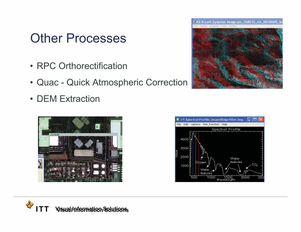
Other Processes
• RPC Orthorectification
• Quac - Quick Atmospheric Correction
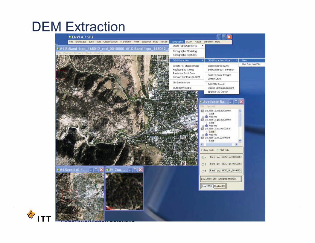
• DEM Extraction
Visual Information SolutionsVisual Information Solutions
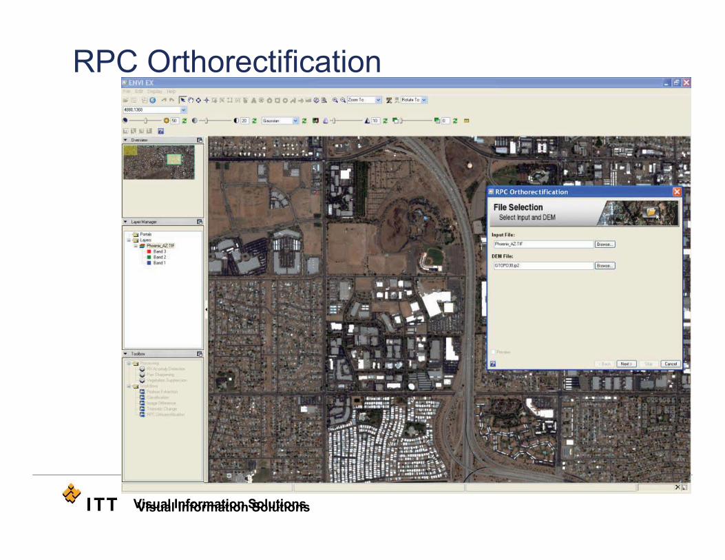
RPC Orthorectification
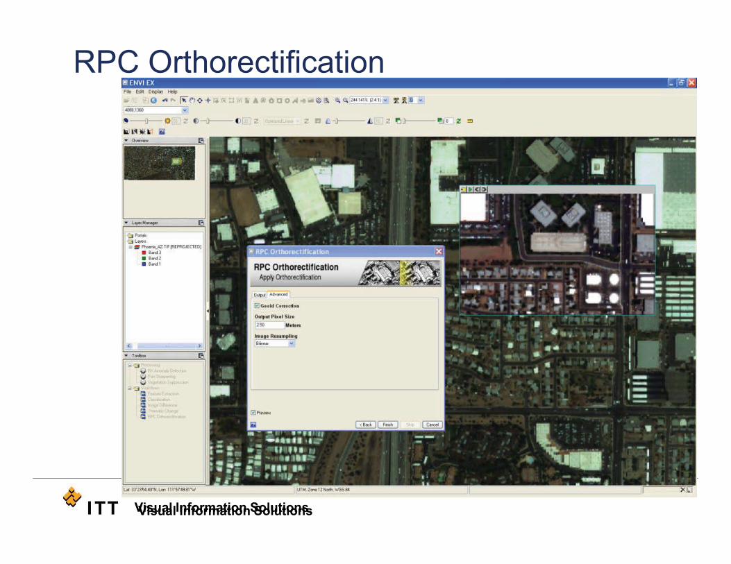
Visual Information SolutionsVisual Information Solutions
RPC Orthorectification
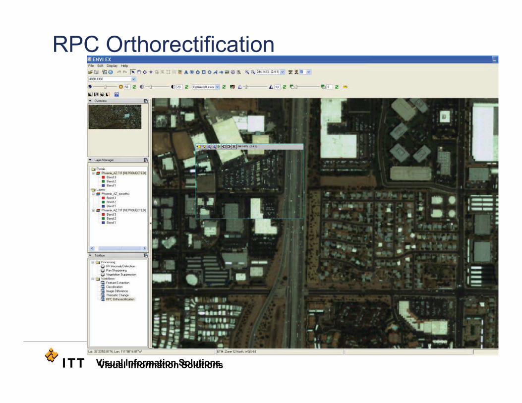
Visual Information SolutionsVisual Information Solutions
RPC Orthorectification
Visual Information SolutionsVisual Information Solutions
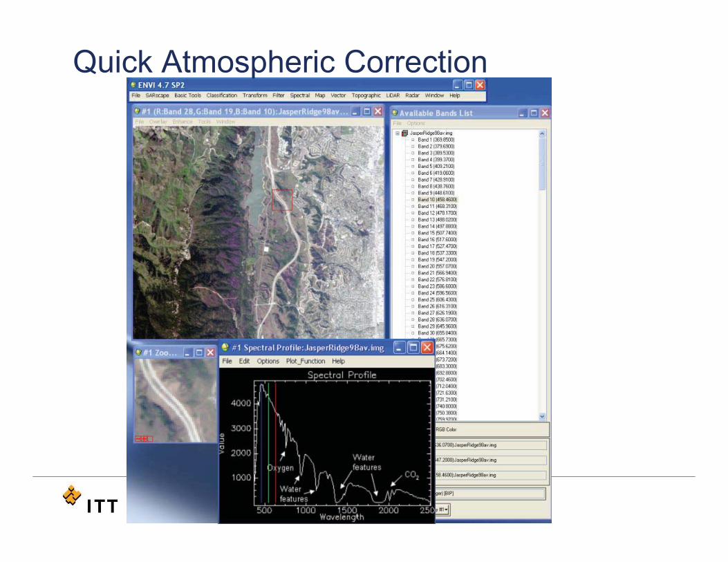
Quick Atmospheric Correction
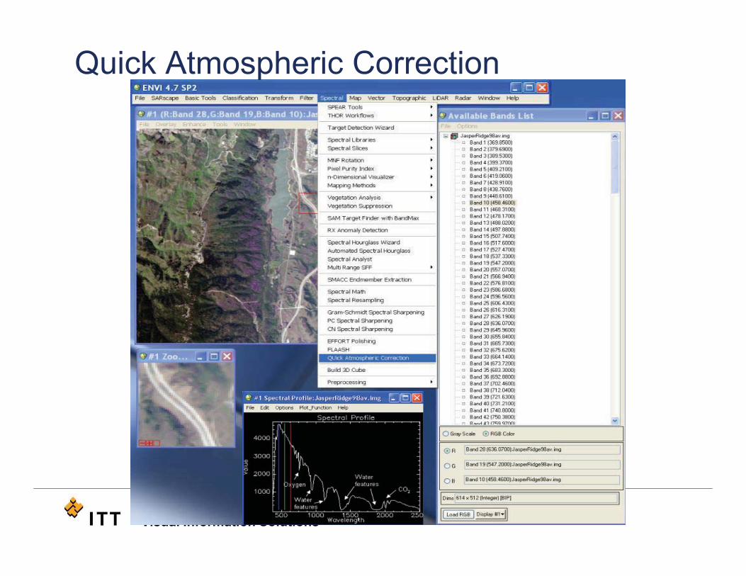
Visual Information SolutionsVisual Information Solutions
Quick Atmospheric Correction
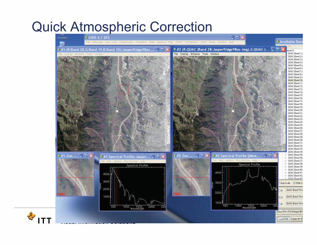
Visual Information SolutionsVisual Information Solutions
Quick Atmospheric Correction
Visual Information SolutionsVisual Information Solutions
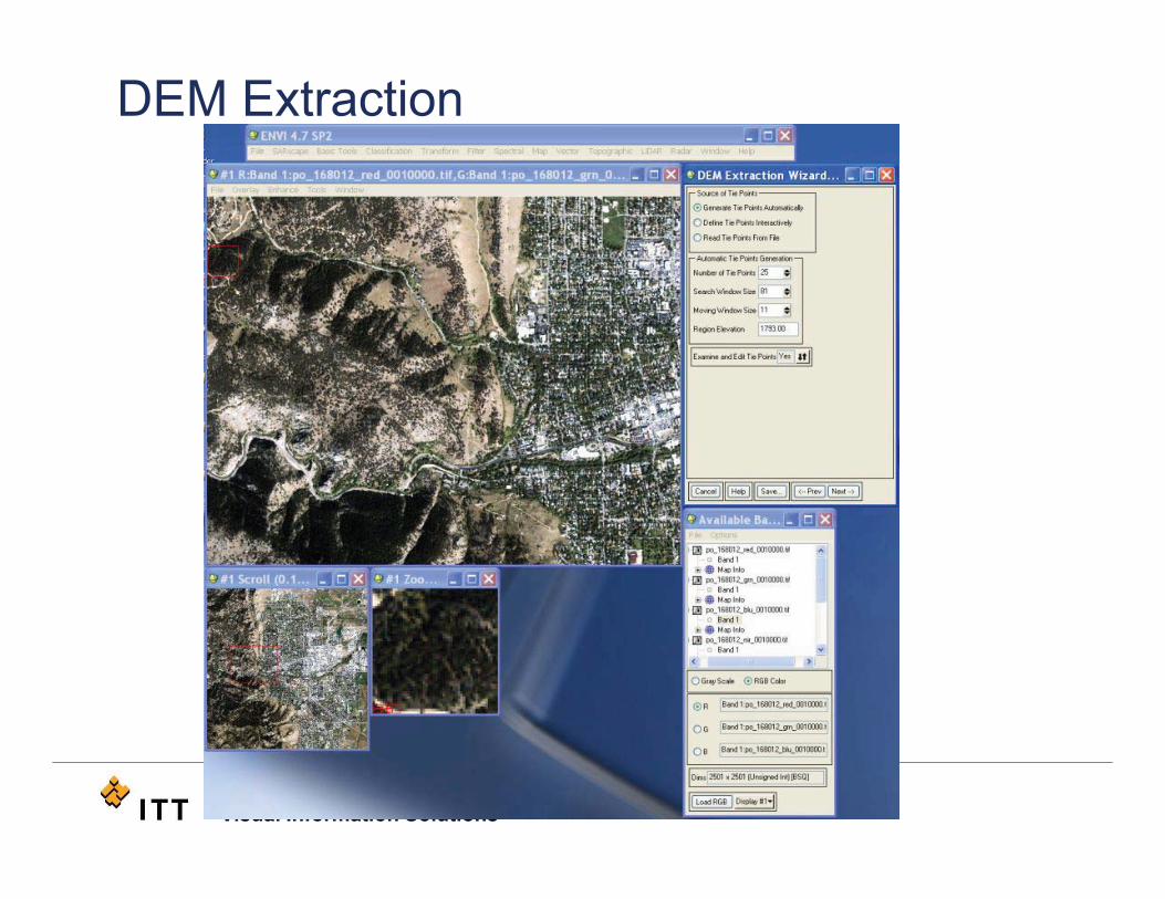
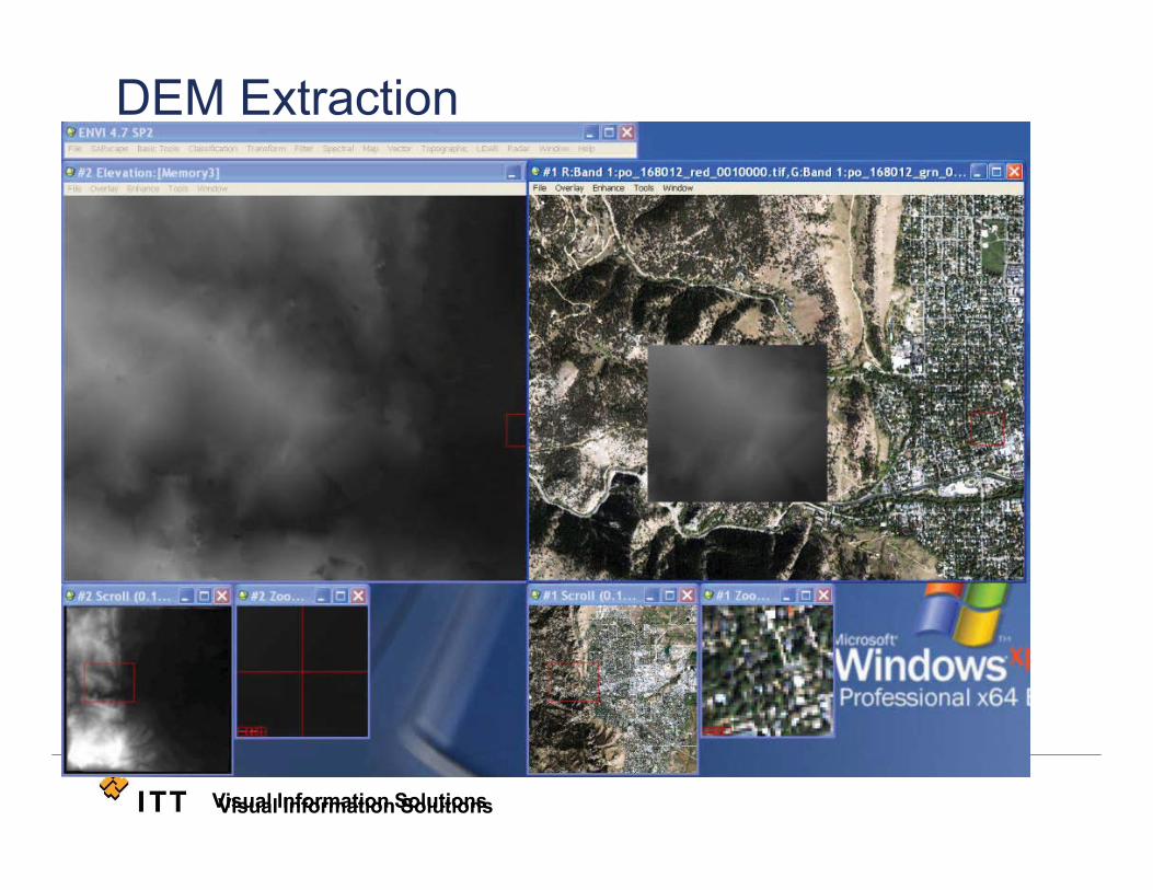
DEM Extraction
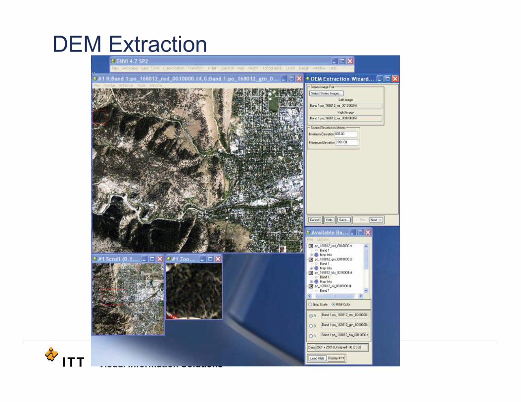
Visual Information SolutionsVisual Information Solutions
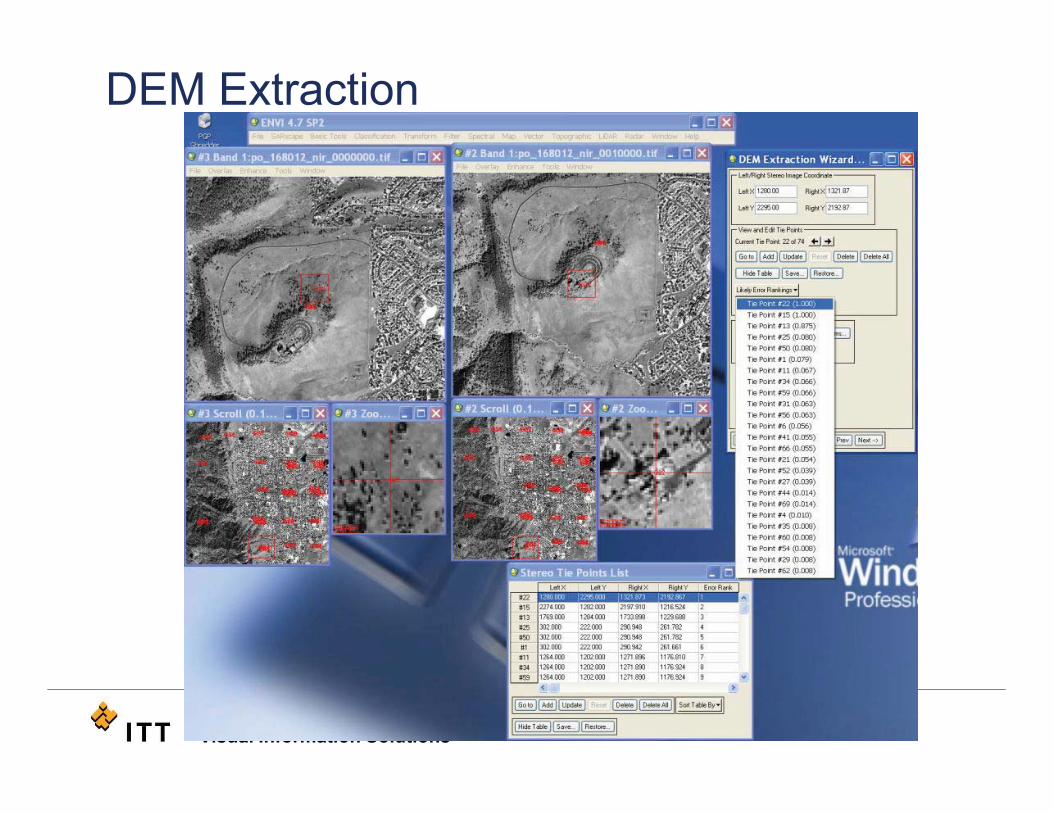
DEM Extraction
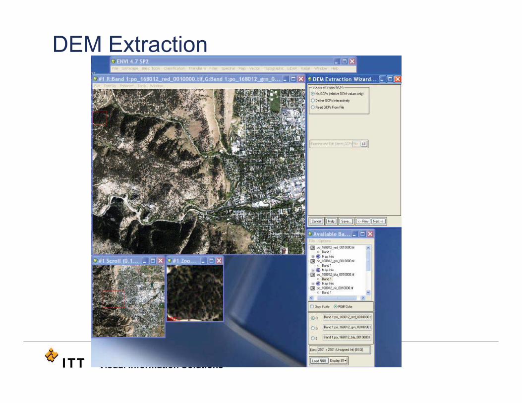
Visual Information SolutionsVisual Information Solutions
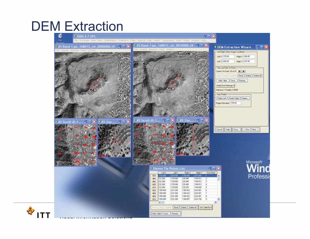
DEM Extraction
Visual Information SolutionsVisual Information Solutions
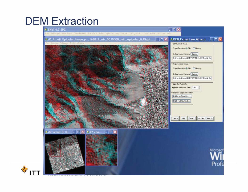
DEM Extraction
Visual Information SolutionsVisual Information Solutions
DEM Extraction
Visual Information SolutionsVisual Information Solutions
DEM Extraction
Visual Information SolutionsVisual Information Solutions
DEM Extraction
Visual Information SolutionsVisual Information Solutions
DEM Extraction
Visual Information SolutionsVisual Information Solutions
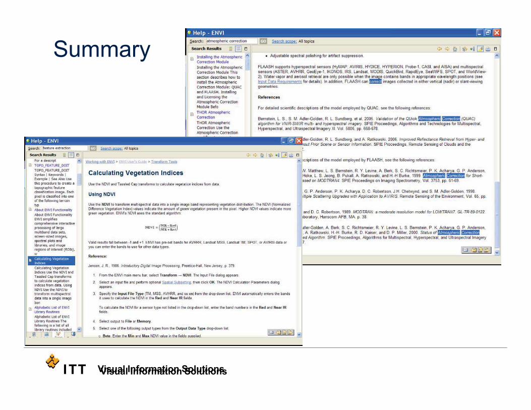
Summary
Visual Information SolutionsVisual Information Solutions
Summary• http://www.ngs.noaa.gov/cgi-bin/GEOID_STUFF/geoid99_prompt1.prl.
• Classification: • J.A.Richards, 1999, Remote Sensing Digital Image Analysis, Springer-Verlag, Berlin, p. 240.;
• Kruse, F. A., A. B. Lefkoff, J. B. Boardman, K. B. Heidebrecht, A. T. Shapiro, P. J. Barloon, and A. F. H. Goetz, 1993, "The Spectral Image Processing System (SIPS) - Interactive Visualization and Analysis of Imaging spectrometer Data." Remote Sensing of the Environment, v. 44, p. 145 - 163.
• Tou, J. T. and R. C. Gonzalez, 1974. Pattern Recognition Principles, Addison-Wesley Publishing Company, Reading, Massachusetts.
Visual Information Solutions
Summary• Live Demo
• Read from Geodatabase
• Drag & Drop from ArcMap to ENVI
• ENVI Geolink to ArcMap
• Pan, Zoom, Preview Window!
• Slideshow• Workflow driven
• Preview window
• Edit tie points
• Intuitive, Easy to Use Environment
Visual Information Solutions
Difference between ENVI and EXFuture of ENVIENVI tools within the Arc Interface
ENVI, EX, and the Future
Visual Information Solutions
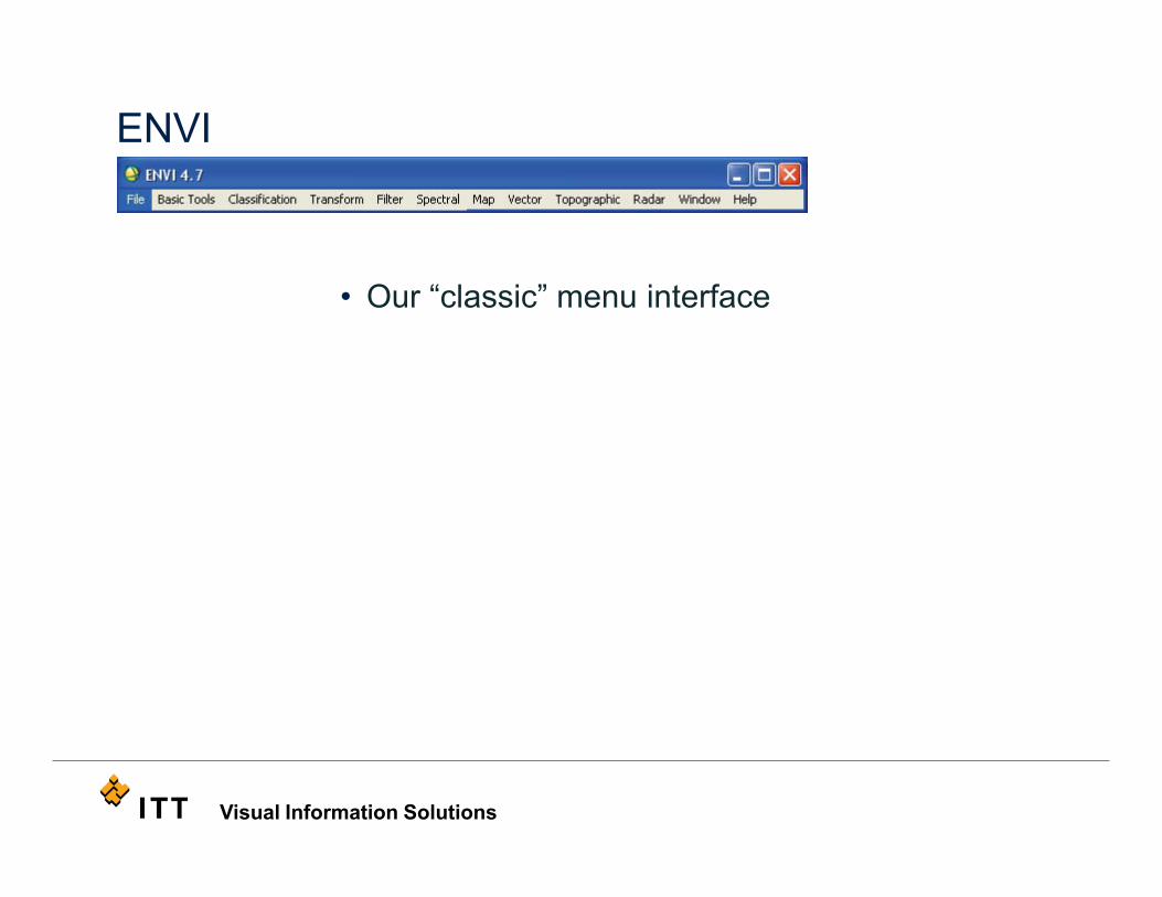
ENVI
• Our “classic” menu interface
Visual Information Solutions
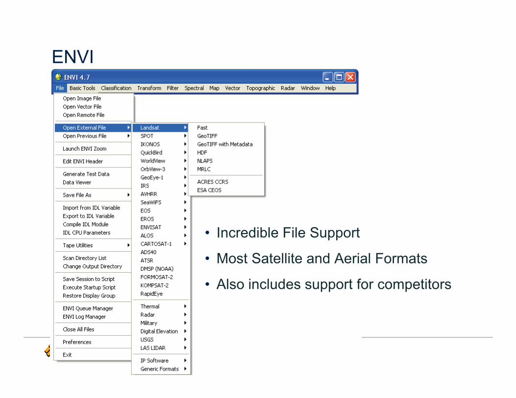
ENVI
• Incredible File Support
• Most Satellite and Aerial Formats
• Also includes support for competitors
Visual Information Solutions
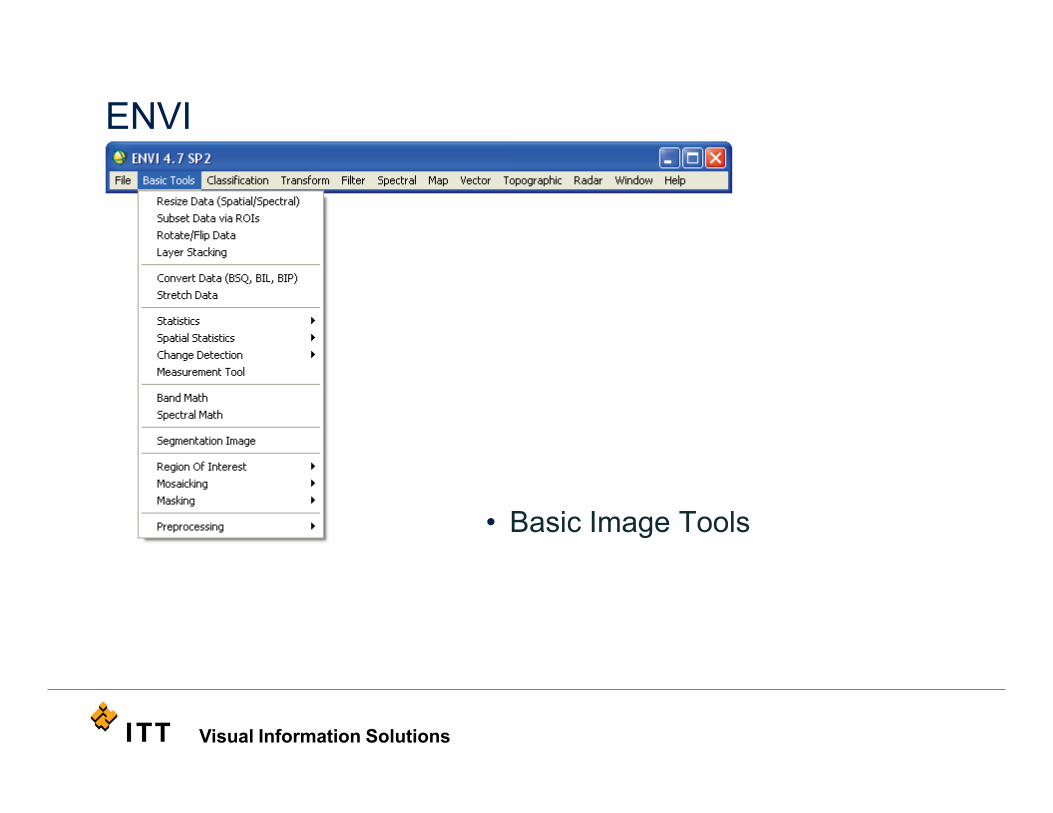
ENVI
• Basic Image Tools
Visual Information Solutions
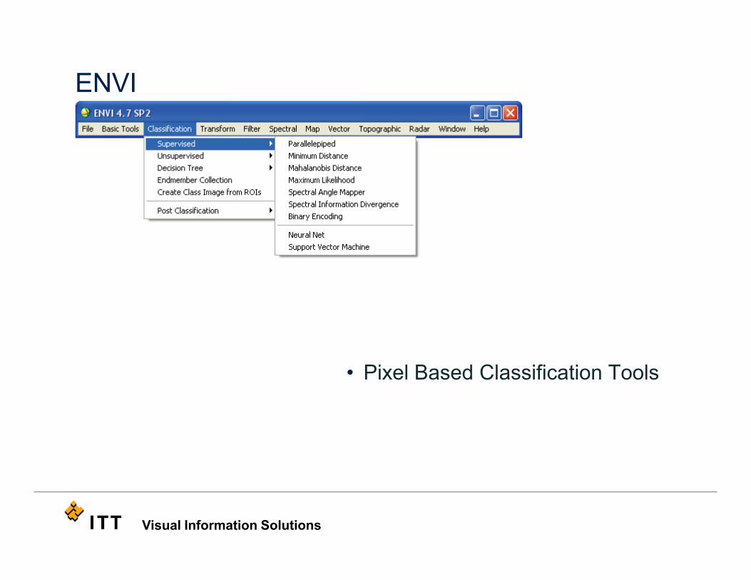
ENVI
• Pixel Based Classification Tools
Visual Information Solutions
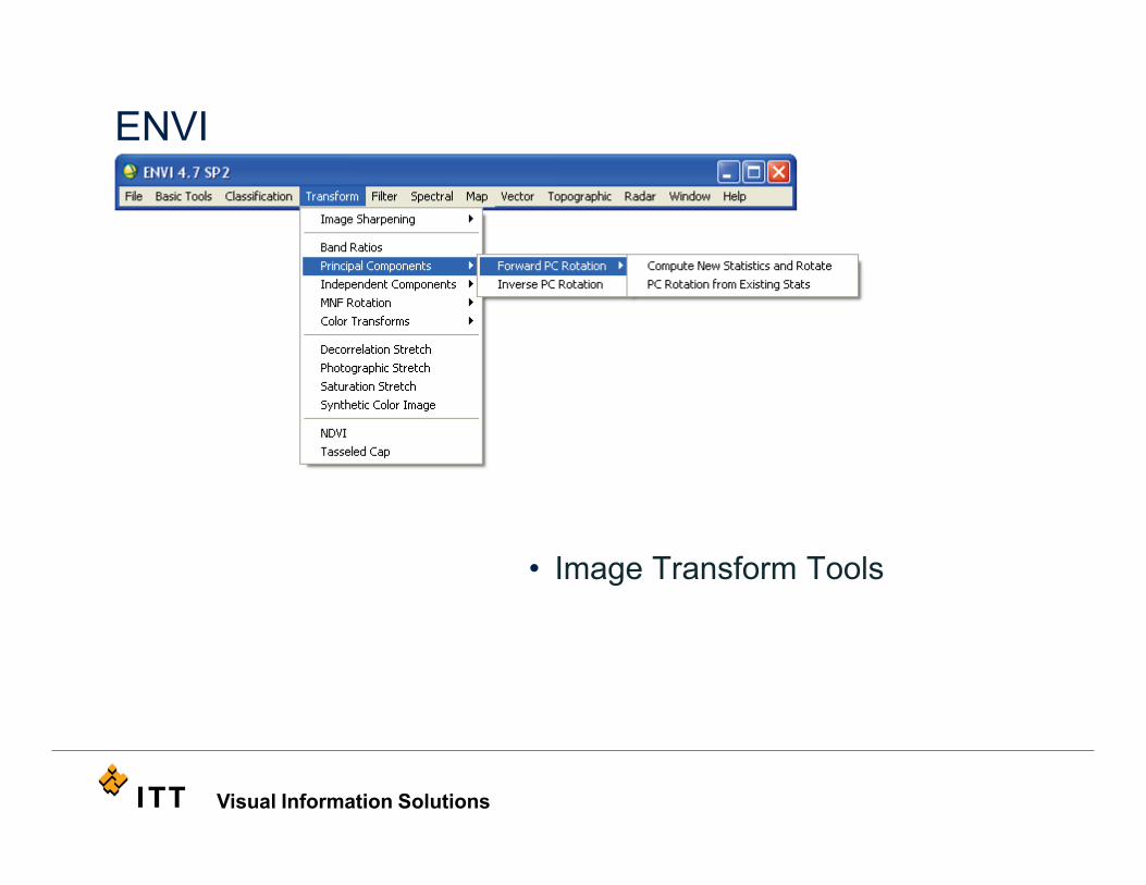
ENVI
• Image Transform Tools

Visual Information Solutions
ENVI
• Many Filtering Tools Available
Visual Information Solutions
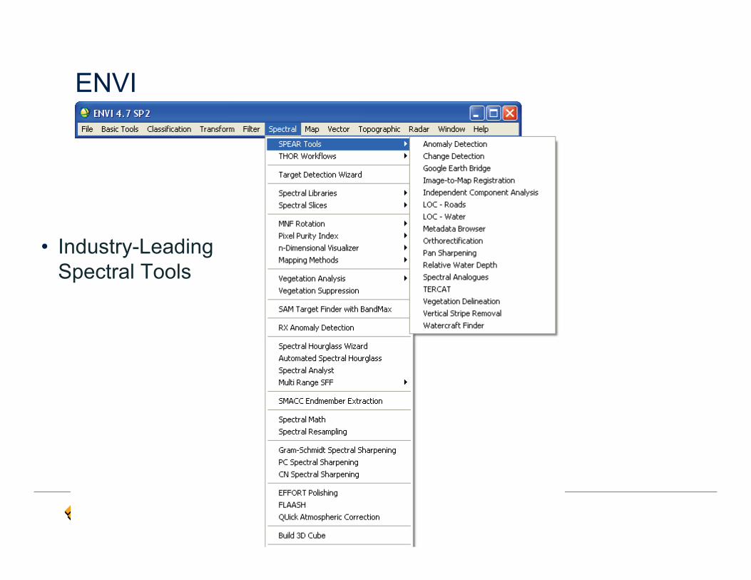
ENVI
• Industry-Leading Spectral Tools
Visual Information Solutions
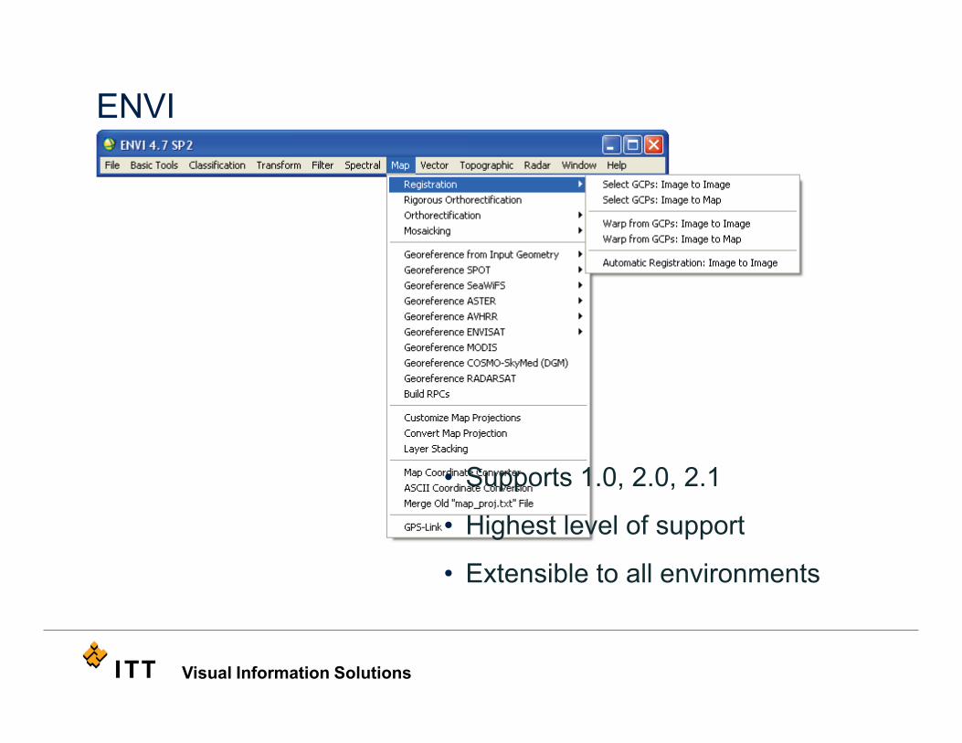
ENVI
• Supports 1.0, 2.0, 2.1
• Highest level of support
• Extensible to all environments

Visual Information Solutions
ENVI
• Vector Editing Tools
Visual Information Solutions
ENVI
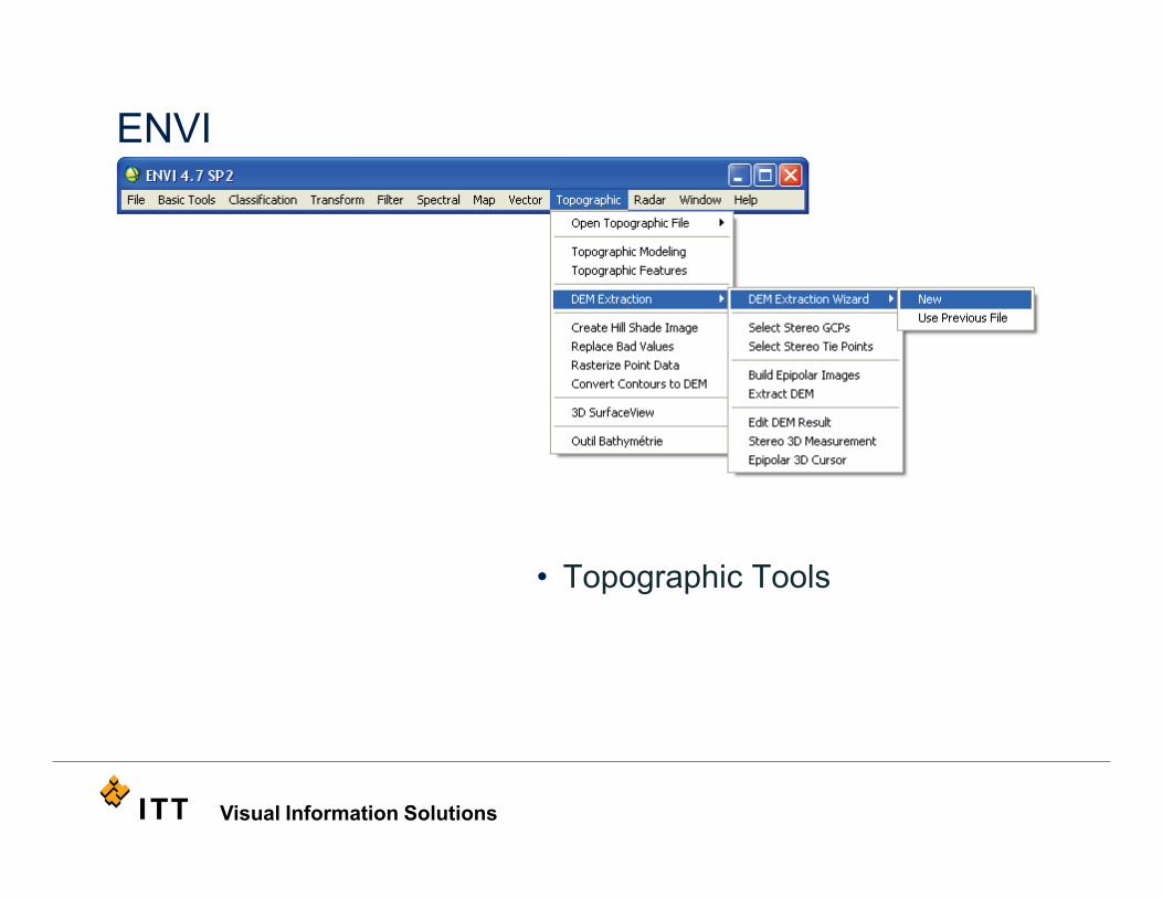
• Topographic Tools
Visual Information Solutions
ENVI
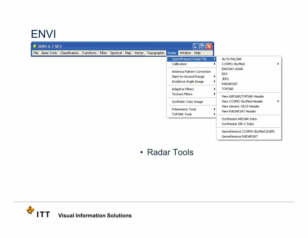
• Radar Tools
Visual Information Solutions
ENVI
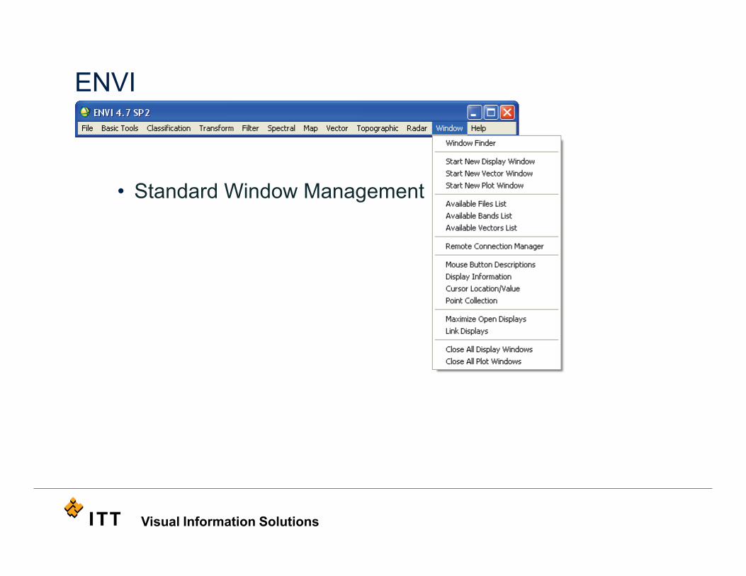
• Standard Window Management
Visual Information Solutions
ENVI
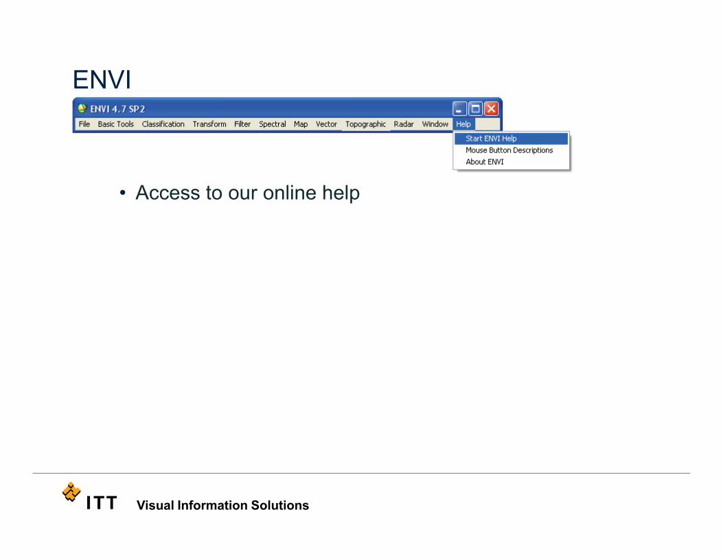
• Access to our online help
Visual Information Solutions
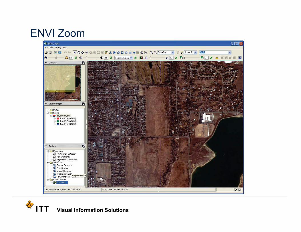
ENVI Zoom
Visual Information Solutions
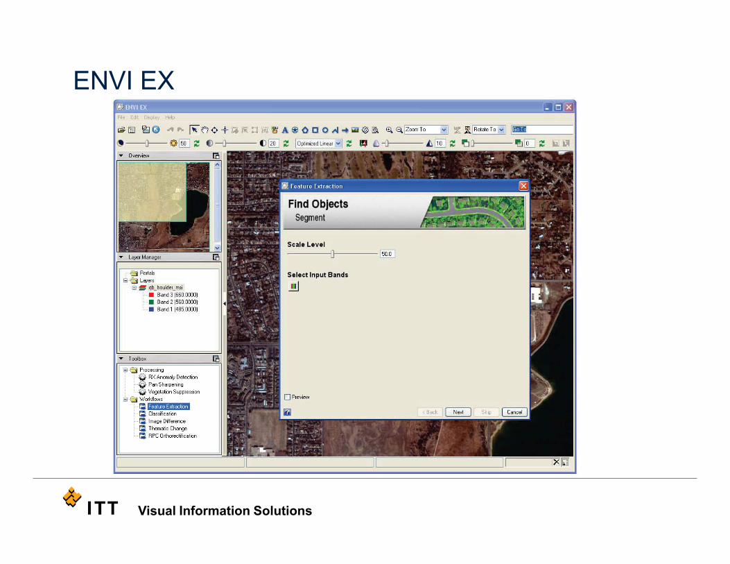
ENVI EX
Visual Information Solutions
Contact Information
• Bob Ternes 303 - 413 -3982
• Brandy Gamblin 303-447-5984