farmland loss –trends, predictions and potential action•complete case studies within the greater...
TRANSCRIPT
FarmlandLoss– Trends,PredictionsandPotential
Action
By:WayneCaldwellandSaraEpp
GoldenHorseshoeFoodandFarmingAlliance– September26,2017

PresentationOutline
• FarmlandinOntario• Whyprotectfarmland?• Startingpremise• Challengeswithexistingmeasurementtools
• Researchmethod• Initialfindings• Challenges• Nextsteps• Discussion
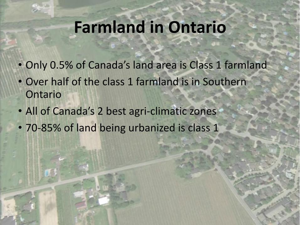
FarmlandinOntario
• Only0.5%ofCanada’slandareaisClass1farmland• Overhalfoftheclass1farmlandisinSouthernOntario• AllofCanada’s2bestagri-climaticzones• 70-85%oflandbeingurbanizedisclass1

AgriculturalUncertainty
Past Present Future
Climate Change
Water Use
Peak Oil
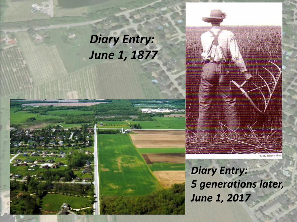
DiaryEntry:June1,1877
DiaryEntry:5generationslater,June1,2017
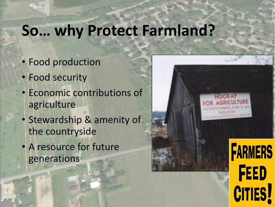
So… whyProtectFarmland?
• Foodproduction• Foodsecurity• Economiccontributionsofagriculture• Stewardship&amenityofthecountryside• Aresourceforfuturegenerations

EvolvingRationaleforProtectingFarmland
• Traditionalreasons• Theamenityoffood• Globalresponsibility• Energy• FutureOptions
• LocalFood• Connectionstohealth• Localeconomies• Amenityvalue• Necessity• Other…
FarmlandPreservation:WhatarethePositivesinOntario?• Relativelyhighurbandensities• Somemunicipalities- verysoundpolicies• Arelativelyhighacceptanceofplanning(andstatebasedrestrictions)• Highcapabilityfarmlandandtheeconomicsofpreservation• Urbanintensification,downtownrenewal,etc.• Activeprovincialinvolvement

FarmlandPreservation:AreasofConcern• Expansionofurbanareas&lossoffarmland(4millionmorepeopleanticipatedin30years)• Untilrecently,farmlandpreservationhashadalowprofile• Farmlandlossisoftenseenasinevitable• Lossoffarmers…butprotectionoffarmland• Somemunicipalities- poortrackrecord(ruralseverances)
WhataretheImpactsofNon-farmLandusesonAgriculturalLand?• Introducesrestrictionsonfarmland• Fragmentlandbase&consumefarmland• Potentialconflictwithagriculture• Canleadtochangesintheruralcommunity• Detractfromruralaesthetic• Environmentalandservicingimpacts

MeasuringFarmlandConversion:StartingPremise
Wearechallengedbytheabsenceofdatatoaccuratelydocumentchangestofarmlandavailabilityovertime
Source:GeoOttawa

ExistingMethodsComeWithChallenges
• Census – Onlydocumentslandinproduction(e.g.commodityprices).Itmaybedecadesbeforelandcomesoutofproductionfollowingalandusedecision.
• Aerialimagery– Variesacrosstheprovinceandmayormaynotdocumenttheimpactoflandusedecisions.
LandApprovalsandDevelopment
• Delaybetweenapprovalsandlanddevelopment• Landoftencomesoutofproductionyearsafterapprovalshavebeengranted
• Whennewhousesarebuiltaformeragriculturaluseisvisiblylost
• AssumedpolicyfailureofGreenbeltorCountyorRegionalPlanning• Peopleseehousesbuiltonprimelandor“sprawl”andassumethattheplanninginstrumentisn’tworking


OfficialPlanAmendments1973to1981
Underconstruction- 2017 Constructioncompleted- 2014
Underconstruction- 2017

ResearchMethods
Thisresearchspecificallylookedatapprovedofficialplanamendmentsbyregion/countytoidentifythe
amountoflandlosttourbanexpansionandothernon-agriculturallanduses.

ResearchMethods
• Includedreviewingplanners'reports,officialplanpoliciesandprovinciallegislation• 100soffileswerereviewedon-siteorwhenavailable,electronically• Region/countystaffhavebeenconsultedforaidininterpretingindividualfileswhennecessary.

Timeframe– ResearchParameters
• Startwiththeyear2000to2014• Capturedbothdatabeforethe2005PPSandbeforetheGreenbelt

StudySites

Redesignations byCounty/Region
County/Region
NumberofapprovedOPAs
relatedtothelossofprime
agricultureland
Prime agricultureredesignated for:
Developmentdesignation(Ha)
Ruraldesignation
(Ha)
Non-farm usesthroughsite-specificpolicyamendments (Ha)
Brant 4 47 0 0
Durham 5 1,723 56 18
Halton 12 2,656 0 287
Huron 2 25 0 0
Niagara 42 944 240 851
Peel 4 3,274 0 127
Perth 57 217 0 415
Simcoe 47 2,100 82 162
Waterloo 9 1,088 400 0
Wellington 27 812 0 86
York 16 5,233 1,755 0

GreenbeltAreaTotalsOutsidethe
GreenbeltPlanAreaWithinthe
GreenbeltPlanArea Total
pre-2005 2005- 2014 pre-2005 2005-2014
PrimeAgricultureLandLost(Hectares) 8,127 11,709 649 0 20,485ha
SiteSpecificNon-AgriculturalUses
(Hectares)342 808 400 0 1,550ha
Total 8,469ha 12,517ha 1,049ha 0ha 22,035ha

0
1000
2000
3000
4000
5000
6000
7000
8000
HECTAR
ES
COUNTY/REGION
PrimeAgriculturalLandRedesignated(2000-2014)byCounty/RegionwithintheGreaterGoldenHorseshoe
SiteSpecific
Rural
Development

0
2
4
6
8
10
12
14
HECTAR
ES
COUNTY/REGION
PrimeAgriculturalLandRedesignated(2000-2014)byCounty/RegionwithintheGreaterGoldenHorseshoeas
aProportionofthe2016CensusFarmArea
SiteSpecific
Rural
Development
12.1%
0.48%
9.98%
2.33%
10.6%
1.57%
0.07%
1.16%1.8%

0
500
1000
1500
2000
2500
3000
3500
4000
4500
1998 2000 2002 2004 2006 2008 2010 2012 2014 2016
HECTAR
ES
YEAROFAPPLICATIONADOPTION
SumofFarmlandConvertedperYearwithinGreaterGoldenHorseshoe
0
500
1000
1500
2000
2500
3000
3500
4000
4500
1998 2000 2002 2004 2006 2008 2010 2012 2014 2016
HECTAR
ES
YEAROFAPPLICATIONADOPTION
SumofFarmlandConvertedperYearwithintheGreaterGoldenHorseshoe

0
2
4
6
8
10
12
14
16
1998 2000 2002 2004 2006 2008 2010 2012 2014 2016
NUMBE
ROFAM
ENDM
ENTS
AMENDMENTYEAR
NumberofOfficialPlanAmendmentsbyYear
0
2
4
6
8
10
12
14
16
1998 2000 2002 2004 2006 2008 2010 2012 2014 2016
NUMBE
ROFAM
ENDM
ENTS
AMENDMENTYEAR
NumberofOfficialPlanAmendmentsbyYear
*ExcludesSimcoeandWaterloo
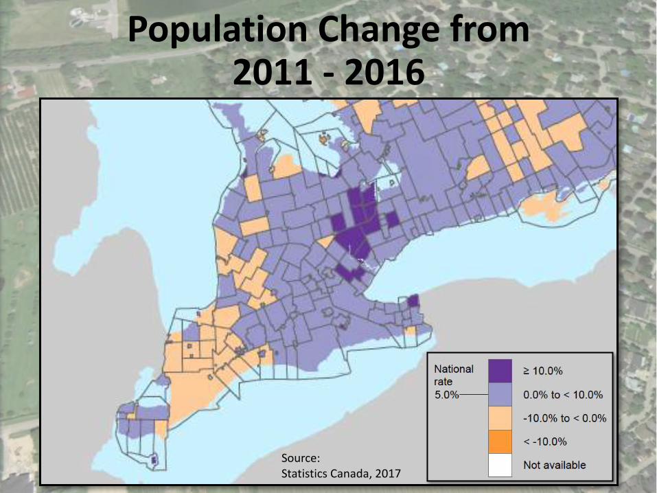
PopulationChangefrom2011- 2016
Source:StatisticsCanada,2017

AgriculturalDesignationsOvertheYears:2005
ApprovedbyRegionJune2005AppealedtotheOMBApprovedbyOMBDecember2006

AgriculturalDesignationsOvertheYears:2006
NorthwestBramptonUrbanDevelopmentArea– 2,428Hectares(6,000Acres)

AgriculturalDesignationsOvertheYears:2014
MayfieldWestPhase2SecondaryPlanSettlementAreaBoundaryExpansion-207.5Hectares(512.5Acres)
Thelossoffarmlandhasoccurredinincrementalstages

AgriculturalDesignationsOvertheYears:FutureGrowthExpectations
RedboxindicatestheMayfieldWestRuralServiceStudyAreaofapproximately2,000hectares

Challenges
• Regionalvariation• Sitespecificpolicies
• Permitteduses
• Aggregateresults• Developmentdelays• Definitionoffarmland• Secondaryagricultureandruraldesignations

NextSteps
• CompletecasestudieswithintheGreaterGoldenHorseshoe• Dufferin,Peterborough,Northumberland,KawarthaLakes,HamiltonandHaldimand
• Analysis/report• Toolkit• Outlineofmethodology• Ecouraging practices• Focusgroupwithplanners,farmersandotherstakeholders
• Accesstodata• Willbeavailableonwww.waynecaldwell.ca
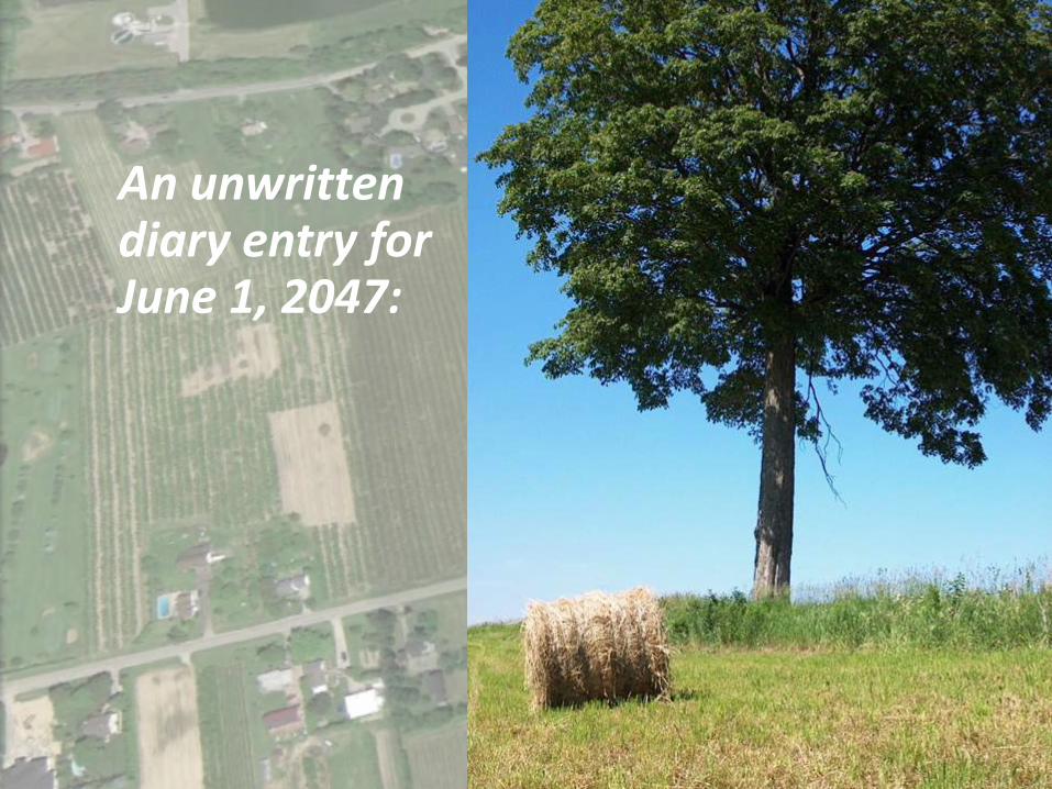
AnunwrittendiaryentryforJune1,2047:

ThankYou
• Questions?