Drainage and Flood Risk Management TeamSouth Gloucestershire Council
Department for Environment and Community ServicesStreet Care, PO Box 1954, Bristol BS37 0DD
Detailed River Network
Scale @ A3: Date:
Main River
Culverted Watercourse
Drainage Ditch
Rhine
© South Gloucestershire Council 2018. All rights reserved.© Crown copyright and database rights 2018 Ordnance Survey 100023410.You are not permitted to copy, sub-licence, distribute or sell any of this data to third parties in any form.
Information shown is indicative and provided for identification purposes only. No warranty as to accuracy is given or implied and not all assets may be shown on this plan. Drainage assets should be surveyed and precisely located before commencement of any works.
04/06/20181:35000
Title:
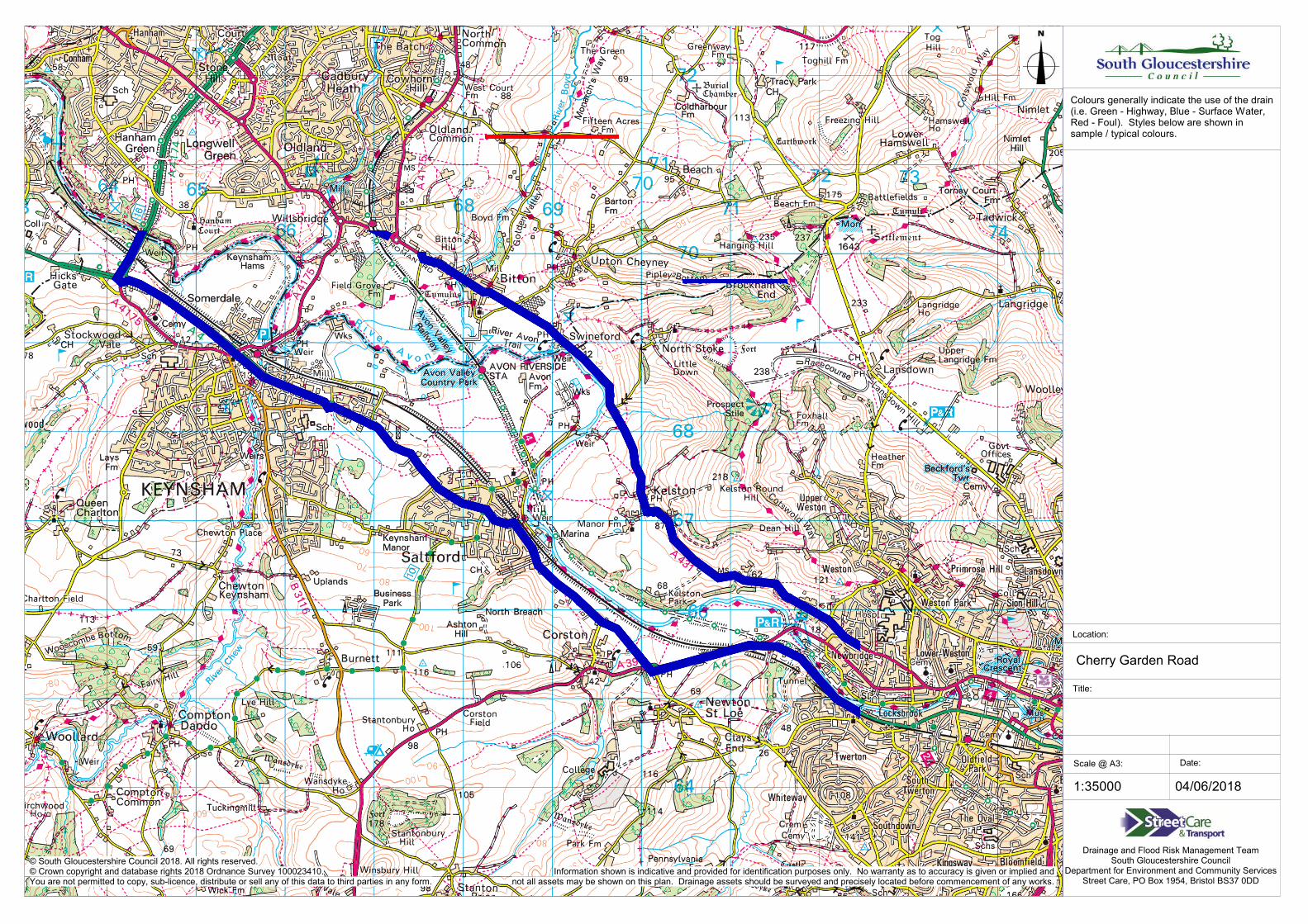
Cherry Garden Road
Location:
Colours generally indicate the use of the drain(i.e. Green - Highway, Blue - Surface Water, Red - Foul). Styles below are shown in sample / typical colours.
Highway MHJunction / Ghost MH
Wessex Foul MHWessex Surface Water MH
Private Foul MHPrivate Surface Water MH
GullyG
InletOutfall
SoakawayWeir
Spring
Well
Pond
Lake
Mining / Air Shaft
Private Foul Drain
Highway Drain
Private Surface Water Drain
Wessex Surface Water Sewer
Wessex Foul Sewer


