development of the system for wearable audio navigation (swan): an
TRANSCRIPT

Development of theSystem for Wearable Audio
Navigation (SWAN):An Interdisciplinary Challenge
Bruce Walker & Frank DellaertSchool of Psychology &
College of ComputingGeorgia Institute of Technology

Motivation for SWAN
Trailhead (P0)
Pivot Point
Transition Path
Best Path (Track)
Point where "next beacon"becomes audible
• System for Wearable AudioNavigation
• Wayfinding tool for those whocannot look or cannot see
• Accessibility applications (blind)• Tactical applications

park
Wayfinding via Auditory Display• Determine user’s location• Figure out what’s around them
(parks, curbs, poles, buildings,benches, etc.)
• Represent each object withunique sounds
• Listener learns what a location“sounds like”
• Also add audio waypointsalong a path to destination
pole
waypoint
curb

waypoint
Attach Sounds to Objects: How?
• Accurate Head Poserequired– 6DOF Needed !– GPS can’t do it alone
• Transform Object locationinto head-centeredcoordinates
• 3D Sonification

Interdisciplinary Requirements
• Electronics/Computer Engineering– Sensor array, devices, hardware
• Computing– Merging the sensor data, extracting location and 6 DoF pose– Producing 3D audio, rest of SWAN proper
• Psychology– Perception, cognition, action, map-making– Evaluation, usability/performance testing
• Music, Design, HCI– Auditory and Visual Interfaces

SWAN System Overview
Server
VRPN MERGE SWAN
GIS
GPS1
GPS2
Compass
iCube
Temperature
Time
Etc.
Sensors
Local cacheCamera
processing
POSE
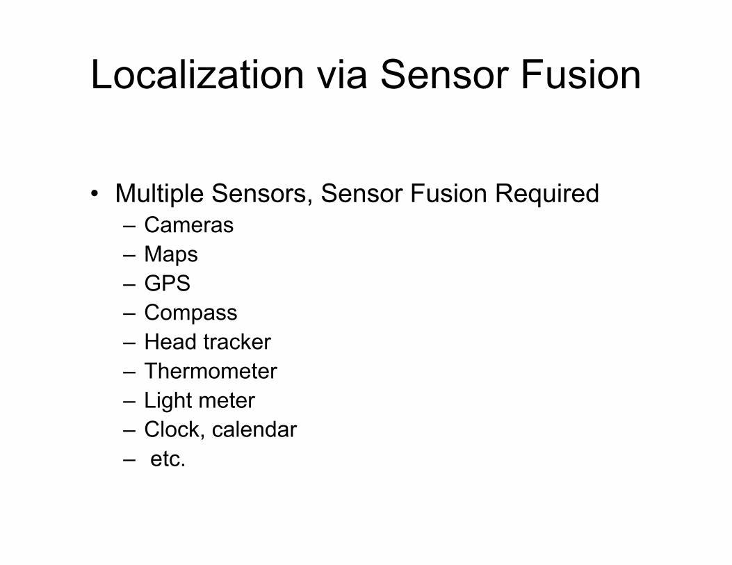
Localization via Sensor Fusion
• Multiple Sensors, Sensor Fusion Required– Cameras– Maps– GPS– Compass– Head tracker– Thermometer– Light meter– Clock, calendar– etc.

Sensor Fusion via Particle Filters
• Samples approximate 2D pose probability density

Include Map-based Priors
• Mapsfetched fromGIS
• Biasesparticle filterto stay oncourse