designing a better sdi (foss4g 2011)presentations.opengeo.org/2011_foss4g/designing_a_… · ·...
TRANSCRIPT

Designing a better SDI
Sebastian BenthallUC Berkeley School of Information
Rolando PeñateOpenGeo
FOSS4G 2011 in Denver, Colorado

GeoNode is a spatial data infrastructure
It focuses on data, then users, then metadata.
Data upload, sharing, cartography, user profiles, dynamic metadata generation, and more.
What is GeoNode?
GeoNode builds on open source geospatial projects like
GeoExt, OpenLayers, GeoWebCacheGeoServer, GeoNetwork, and PostGIS
with application functionality built on Django.
What is GeoNode?

This talk is not about the technical design of the software.

This talk is not about best practices for building an SDI.
This talk is aboutan origin story.
GeoNode Vision
⇒
GeoNode Involvement
⇒
GeoNode Community

GeoNode Vision
⇒
GeoNode Involvement
⇒
GeoNode Community
How did this happen?
We hope that the lessons learned can help other open source projects.
The World Bank had a problem:
Disaster risk modeling requires lots of data Central American Probabilistic Risk Assessment (CAPRA) initiative needed participating agencies across various governments to share data
Top-down approaches didn't work
Needed to work bottom-up
GeoNode History

The World Bank had a problem:
Costly proprietary GIS solutions are a burden to developing nations The Bank wanted to build local capacity around financially sustainable software
Smart folks within the Bank turned to open source geospatial software
GeoNode History

GeoNode Vision
OpenGeo had an idea for a solution:
The Bank provided the perfect use case for OpenGeo's vision for open source architectures of participation in geospatial Providing freely available web-based tools could be a great way to collect and share data.
GeoNode was born.
GeoNode Involvement
Traditional SDIs have typically been designed by 'experts' with abstract needs in mind—hence a focus on metadata.
GeoNode is being designed in response to the needs and concerns of institutional partners as they implement real-world projects—hence a focus on data and users.

GeoNode Involvement
GeoNode seeks to unify data management across organizations.
Thus many different organizations have reason to get involved.
The opportunity and challenge is effective collaboration.

GeoNode Involvement
As more organizations got involved, development had to decentralize.
Not just a single team within OpenGeo, but a larger community

How do we continue growth whenvision and development are decentralized?
How do we continue growth whenvision and development are decentralized?

That's whatopen source communities
are for.

But how do we get institutions to get their employeesto participate in the open community?
Need to align broader visions, including...

● Australia-Indonesia Facility for Disaster Reduction● Geoscience Australia● Global Earthquake Model● Global Facility for Disaster Risk Reduction● Secretariat of the Pacific
are mapping infrastructure in developing nations, performing disaster modelling, etc. using GeoNode.
Disaster Reduction


MapStor Foundation and Harvard's WorldMap seek to collect and share data across disciplines and institutions using GeoNode.
Learn more about Harvard's WorldMap work:Thurs 09/15 at 3:30pm in the Denver room
Academic


Spatial Marketplaces
The Australia–New Zealand Spatial Marketplace seeks to increase data availability in the South Pacific by creating an online
marketplace built on GeoNode and open to all.
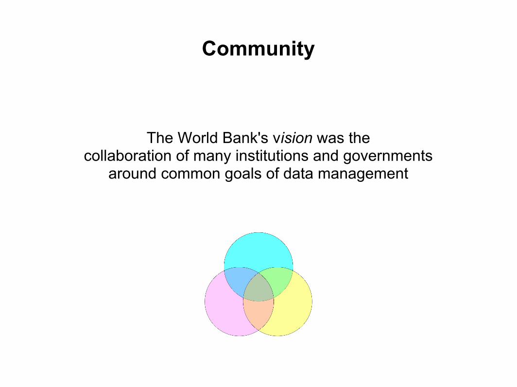
The World Bank's vision was the collaboration of many institutions and governments
around common goals of data management
Community
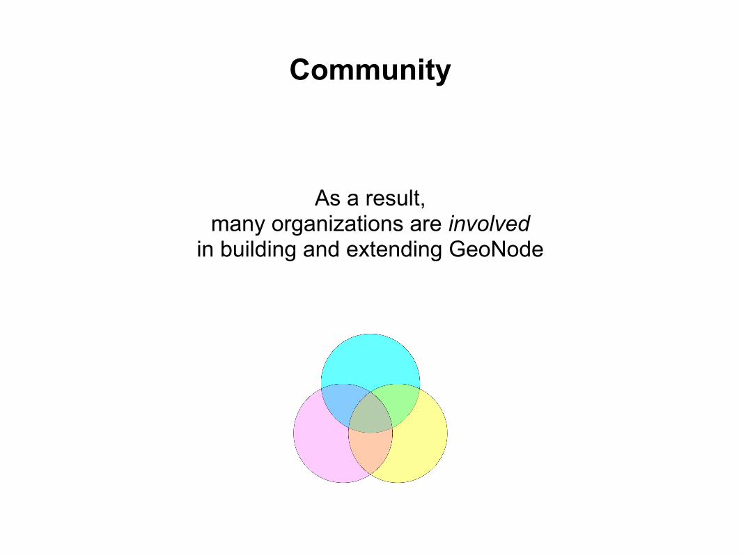
As a result,many organizations are involved
in building and extending GeoNode
Community

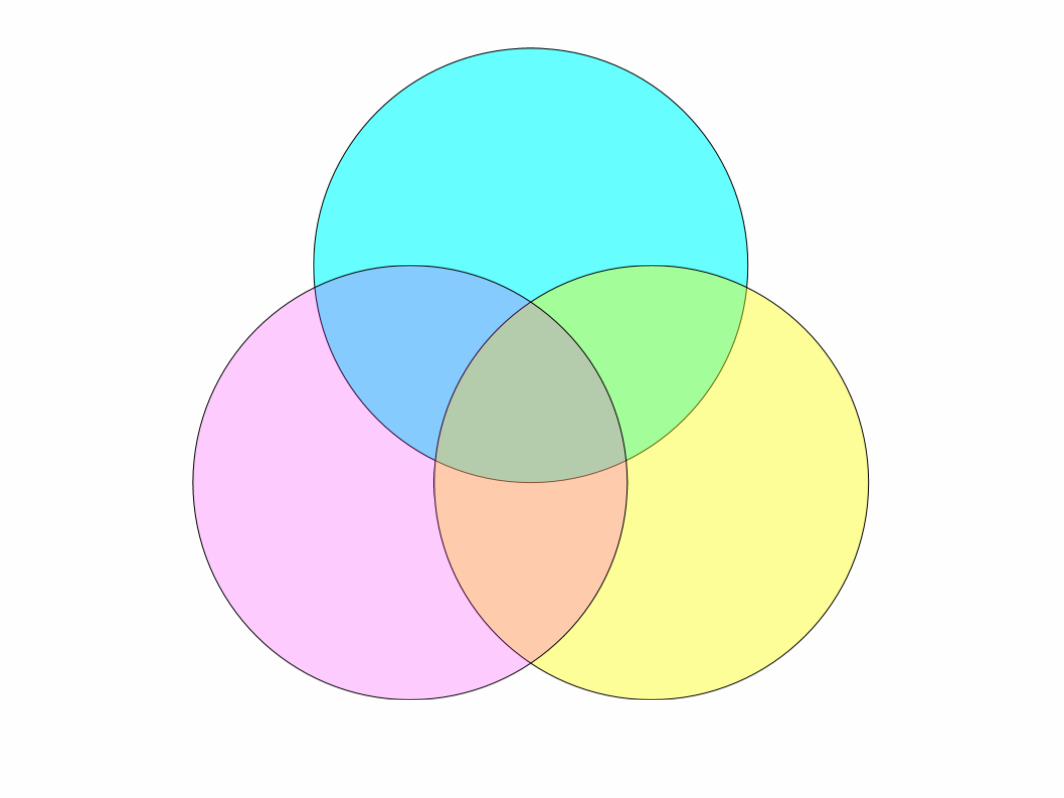
How can we keep these efforts coherent, not divergent? Efficient, not redundant?
Community

GeoNode's development requiresmany visions to be aligned.
Community

OpenGeo
● Benefits from contributions back to core software
● Has led effort to coordinate between institutions
○ easier management and development○ stronger open source communities
Our task has been to scale up open source development
practices to large institutions

Roadmapping Summit May 2011
● Explicit transition to open source community model
○ Established a proper Project Steering Committee○ Passed policies for contributions and code review
● Official decentralization from OpenGeo's core team● Identified common development goals
How to discover common development goals?

We
collected
individual organization's roadmaps
We
standardized
individual organization's roadmaps
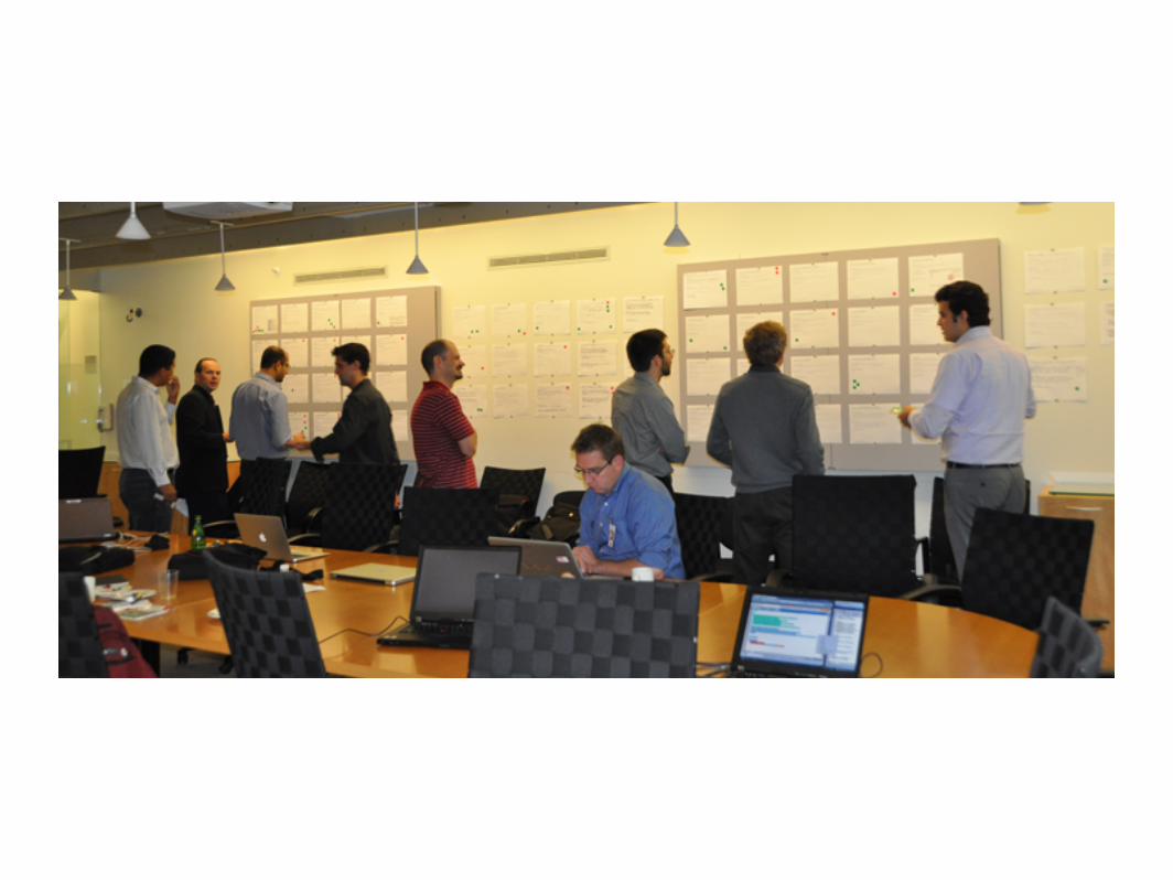
Participants shared their visions with each other,explored the roadmap,
and contributed new items that were missing.


We
identified
a common roadmap

Then we collectively
prioritized
those roadmap items.

Which do we build first?

Outcomes
● "Rock Solid" 1.1 ● People entered the summit to big ideas to impress their
bosses● People left having committed resources to docs, bug
fixes, and other work necessary to keep the project running.
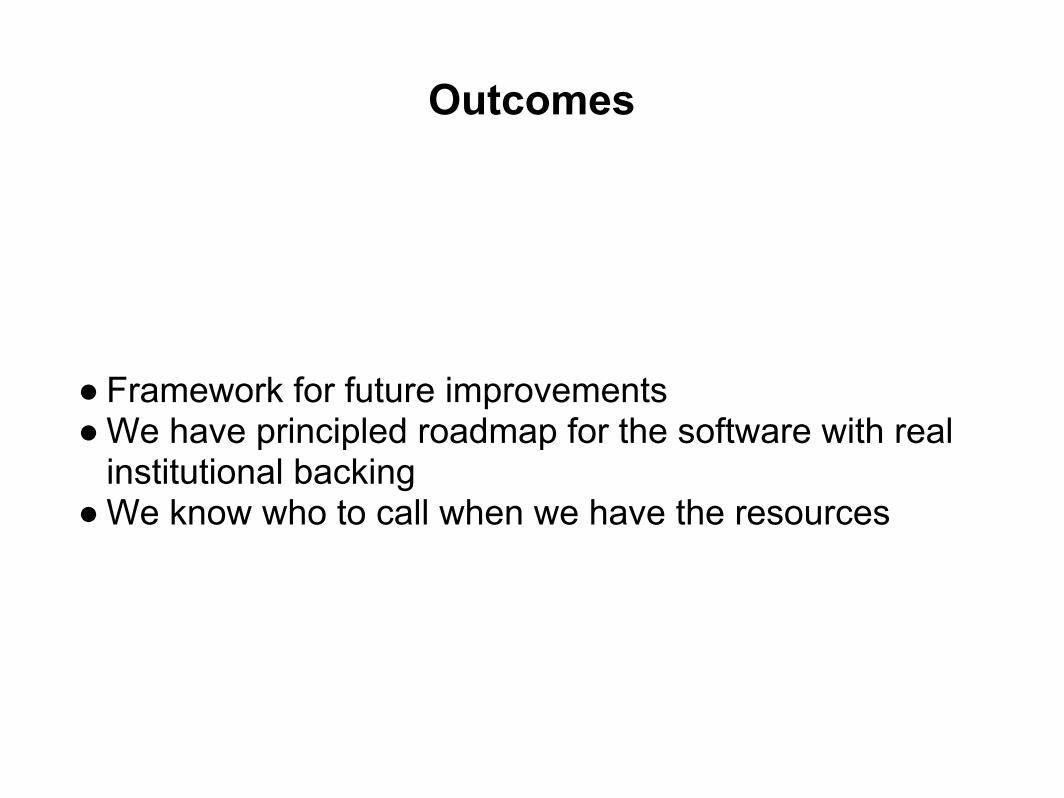
Outcomes
● Framework for future improvements● We have principled roadmap for the software with real
institutional backing● We know who to call when we have the resources
Outcomes
● Community solidarity
● “From man’s sweat and God’s love, beer came into the world”— St. Arnold

Remaining challengesfor OpenGeo
Achieving open source best practices while being a primary contractor.

Remaining challenges
Maintaining consensus among large organizationsdespite natural tensions and turnover.
Remaining challenges
As the process decentralizes, who is responsible for the hard work of this coordination?

Get involved!
Either as a contractor or an organization, there remains a lot more work on GeoNode than any one organization can take on.
The GeoNode community needs more developers to work on the core software or to help install and maintain regional instances.

Thank you.
Any questions?