denice m. shaw, ph.d office of research and development u.s. environmental protection agency
DESCRIPTION
Status and Trends of Environmental Monitoring Lessons Learned From EPA’s Draft Report on the Environment. Denice M. Shaw, Ph.D Office of Research and Development U.S. Environmental Protection Agency. Administrator Whitman’s Directive. - PowerPoint PPT PresentationTRANSCRIPT

Status and Trends of Environmental Monitoring
Lessons Learned From EPA’s Draft Report on the Environment
Denice M. Shaw, Ph.D
Office of Research and Development
U.S. Environmental Protection Agency

“ My goals for the Agency are to make our air cleaner, our water purer and our land better protected. These are the results that we are working hard to achieve. Our progress towards these goals will be the measure of our success. To know whether we are making progress toward these goals, we need high quality information about the state of the environment. -- Christine Todd Whitman, November, 2001
Administrator Whitman’s Directive

Audiences
Uses
Scientists
PolicyMakers
Environmental Managers
Public
Identify Data Gaps
SetBenchmarks
Identify Emerging Issues
EvaluateEPA Performance
Purposes
ResearchFunding
Decisions
Make BetterDecisions
ChangeBehavior
Fill/FundData Gaps
PolicySetting

Uses
Scientists
PolicyMakers
Environmental Managers
Assess Indicators/Gaps
Identify Emerging Issues
AssessEPA Progress
ResearchFunding
Decisions
Make BetterDecisions
Fill/FundData Gaps
PolicySetting
Audiences
Purposes
Public
EstablishBaseline
ChangeBehavior

Uses
PolicyMakers
Environmental Managers
Public
Assess Indicators/Gaps
EstablishBaseline
AssessEPA Progress
FundingDecisions
Make BetterDecisions
ChangeBehavior
Fill/FundData Gaps
PolicySetting
Audiences
Purposes
Scientists
Identify Emerging Issues
Research

GOALSReport on the Environment & RoE Technical Report
• Identify and describe indicators and data that provide national information about the state of the environment
• Describe also what we don’t know

Report Structure
• Questions / Indicators/ Monitoring Data
• 5 Chapters Ecological Condition Human Health Land Air Water

Questions / Indicators
Question Indicator Name Type
What is the quality of outdoor air in the United States?Number of Days with Air Quality Index (AQI) Values Greater than 100
II
PM: Number of People Living in Areas With Air Quality Levels Above NAAQS
I
Ozone: Number of People Living in Areas With Air Quality Levels Above NAAQS
I
Ambient Concentrations of Particulate Matter (PM2.5) I
Ambient Concentrations of Particulate Matter (PM10) I
Ambient Concentrations of Ozone 8-hour I
Ambient Concentrations of Ozone 1-hour I
Ambient Concentrations of Lead I
What are the impacts of air pollution on visibility in national parks and other protected lands?
Trends in Visibility II
What are the concentrations of toxic air pollutants in ambient air?
Ambient Concentrations of Selected Air Toxics II
How many people are living in areas with particulate matter and ozone levels above the NAAQS?
What are the concentrations of some criteria air pollutants: PM2.5, PM10, Ozone, and Lead?
Outdoor Air Quality

Air
• Outdoor Air
• Acid Deposition
• Indoor Air
• Stratospheric Ozone

AIR
Substantial progress has been made in monitoring to effectively measure status and trends in air quality consistently across the country.

• Monitoring is conducted mostly in urban areas limiting ability to characterize rural levels
• The indicators do not provide exposure data• Emissions indicators reflect emissions estimates
(except for sources in NOx trading programs)
Criteria Pollutants

• Limited geographic coverage for measuring deposition
• Limited techniques for measuring dry deposition• Lack of data on exposure of high elevation
forests and watersheds• Lack of adequate forest health monitoring• Lack of adequate biotic monitoring
Acid Deposition
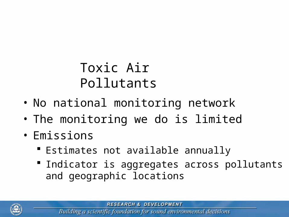
• No national monitoring network• The monitoring we do is limited • Emissions
Estimates not available annually Indicator is aggregates across pollutants and
geographic locations
Toxic Air Pollutants

• Data on homes with radon is 13 years old
• Data on children’s exposure to ETS is derived
Data on worldwide ODS production may not be as reliable as US-only data
• Incomplete understanding of interactions among atmospheric gases
Indoor Air & Stratospheric Ozone

Water
• Water and Watersheds
• Drinking Water
• Recreation In and On the Water
• Consumption of Fish and Shellfish

WATER
Current monitoring programs for measuring and reporting inland water quality are often adequate at the state and local level but cannot provide a national picture.

WATER
Environmental monitoring data available for measuring and reporting on several aspects of condition for estuaries and great lakes

• Federal responsibility for implementing water statutes and for managing programs that affect water resources is spread across many different agencies, including EPA, USDA, DOI, the Corps of Engineers, NOAA, and HHS.
• Water programs are largely delegated to states (and sometimes territories and tribes) who have authority and first line responsibility for implementation and coordination.

• At the state level, water programs are housed in many different agencies
• Hydrologic patterns vary widely across the United States, and different hydrological conditions exist in different ecosystems. Appropriate indicators and goals for water resources can be very different in different parts of the U.S.
• Much water data is collected and presented at a smaller than national scale. Water programs are often managed at a watershed scale.

• Several programs collect data on the condition of surface waters. At this time, these data cannot be used to produce a national indicator to answer this question with sufficient confidence and scientific credibility.
• Indicator data does exist for several stressors to water. States also identify principal causes of impairment to waters they list as impaired.
• We also have several indices that measure incremental changes in the condition of waters and provide clues to the pressures affecting aquatic communities (see Chapter 5 – Ecological Condition)
Fresh Surface Waters

Coastal Waters and Wetlands
• The Nation’s estuaries are in fair to poor condition
• Rates of annual wetland losses have decreased from 500,000 acres/year 30 years ago to fewer than 100,000 acres/year today

• In 2002 data reported by states to EPA showed that 251 million people were served by community water systems (CWS) that had no violations of EPA health-based standards. This represents 94% of the population served by CWSs.
• We know that underreporting and late reporting of violations affects the accuracy of this data.
Drinking Water

• In 2001, survey respondents reported that beaches were closed or under advisory for almost six percent of the days that beaches would normally be open to the public.
• This data covers 2,445 beaches for which data were collected and voluntarily reported. Almost all waters for which data were reported are coastal or Great Lakes beaches.
Recreational Waters

• In the U.S. in 2002, 14 percent of the river miles, 28 percent of lake acres, and 100 percent of the Great Lakes and their connecting waters are under fish advisories. These percentages have steadily increased from 1993 - 2001
• Increases are most likely the result of more consistent monitoring and reporting, and decreases in concentration criteria – not necessarily an indication that conditions are getting worse.
Fish

Challenges• We are continuing to work to improve the quality of
drinking water data.
• Of the 49 states that issue fish advisories, six do not use a risk-based approach.
• Data on beach closings and advisories is voluntary and includes only a few inland beaches.
• Since reporting is voluntary, the data cannot be extrapolated to accurately determine the suitability on a national level of surface waters to support recreation.
• We lack data on the health and ecological effects of contamination on plants and animals.

Land
• Land Use
• Chemicals in the Landscape
• Waste and Contaminated Lands

LAND
Currently, environmental monitoring efforts to accurately characterize land use are limited by a diversity of approaches and mandates. Excellent data exist for certain sectors, e.g. forests, but a comprehensive picture across all land uses is not available.

EPA's programs for pesticides, chemicals used in industry, and handling of solid and hazardous wastes do not specifically authorize national ambient monitoring
LAND

ChallengesLand Use
• The ability to accurately characterize and track land use over time is limited. Various efforts contribute in part to tracking land use and cover types. Alaska is seldom included in national inventories. Methods and classifications are not consistent Ongoing availability is not assured for NLCD

• Pesticide and fertilizer use data are estimates based on crop profiles, sales, etc. – no systematic survey of volume, distribution, and extent of use nationwide.
• TRI does not track all toxic chemicals or all facilities that release them.
• Few indicators of ambient concentrations or exposures of pesticides or toxics to fish and wildlife.
• Better indicators are needed of the human health and ecological effects of pesticides and toxic chemicals.
Challenges

• Because waste is managed by different government and private entities, data are neither complete or comparable.
• Most waste generation is reported only by weight, providing little understanding of the volume produced.
• Basic statistics on acreage of lands used for managing waste and their condition are not available at the national level.
• Few indicators of ambient concentrations or exposures of waste constituents to fish and wildlife.
• Better indicators are needed of the human health and ecological effects of municipal and hazardous wastes.
Challenges Waste and Contaminated Lands

Health
• What are the trends for health and disease in the U.S.?
• What do we know about exposure?
• What do we know about linkages between exposure and health effects?

HUMAN HEALTH
Data on human health indicate that overall, Americans are healthier and live longer, but except in a few cases we lack the scientific understanding to know if this is due to environment, and how much to other factors such as health care and life style.

• Linkages explanation
• Case studies
• Innovative methodologies
• Accountability
• Better integration with air, water, land
Challenges
Ecological Condition
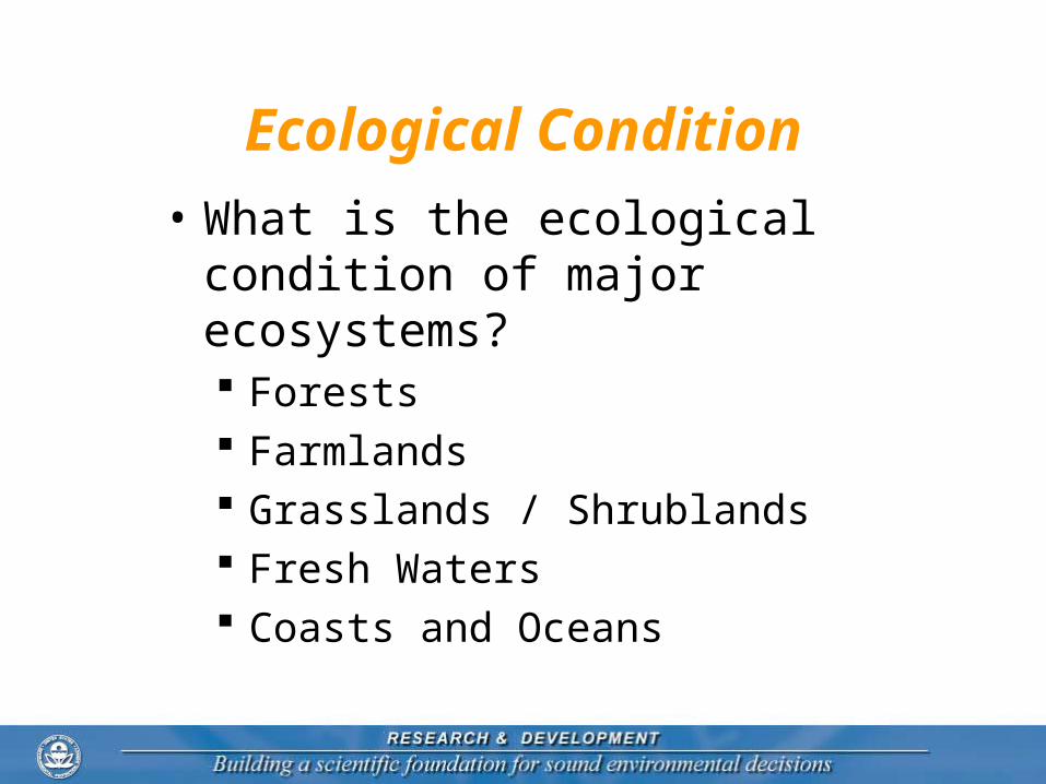
• What is the ecological condition of major ecosystems? Forests Farmlands Grasslands / Shrublands Fresh Waters Coasts and Oceans

ECOLOGICAL CONDITION
At this time, significant gaps in environmental monitoring make it impossible to adequately describe ecological condition or to report on the status and trends nationally


Data Sources
• Indicators/Data identified from: EPA Offices and Regions Other Federal Agencies Heinz Center Nature Serve

Expert Review Workshop June 10 –12, 2002
Air: Anthony Janetos, Heinz Center Patrick Kinney, Columbia University
Water:Ed Rankin, Ohio UniversityPhil Singer, University of North CarolinaChris Yoder, University of Ohio Robert VanDola, South Carolina, Department of Nat’l Resources
Land: William Steen, University of Georgia Rodger Tankersley, Tenn Valley Authority
Ecological Condition: Robin O’Malley, Heinz Center;Keith Harrison, Michigan Environmental Science Board
Human Health:
Thomas Burke, Johns Hopkins
Bailus Walker, Howard University Hospital
James Listorti, formerly the World Bank

Federal Agency Workgroup (CEQ lead)
• Department of Energy• Department of Agriculture• Nat’l Oceanic and Atmospheric
Administration• Department of Defense• Department of Transportation• Army Corps of Engineers• Department of Interior• Department of Health and Human
Services

State Indicators Workgroup (ECOS lead)
• Texas• Oklahoma• Nebraska• Michigan• Illinois• Florida• California• Missouri• New Jersey• Wisconsin
• Delaware• Minnesota• Pennsylvania• Arizona• Idaho• Oregon• Massachusetts• Washington

Overall
• The Report highlights the need to further assess Agency priority and expectations for “outcomes” overall and in particular, as they pertain to Human Health and Ecological Condition

Overall
• Understanding the linkages envisioned by the progression of indicators from source (or stressors) to effects (or outcomes) on Human Health and Ecological Condition is vital.

Challenges
• Availability of Data Questions with no data identified Questions with data that provide
only partial response
• Availability of Data to Support Indicators Spatial / Temporal trends Reliability of data collection

Challenges
• Shifting towards an “Outcomes” framework
• Basic environmental questions require information that go beyond EPA’s data and authorities
• EPA relies heavily on monitoring that is conducted by other Agencies and organizations