chapter 3 marine provinces. bathymetry – measuring ocean depths it was once thought that the...
TRANSCRIPT
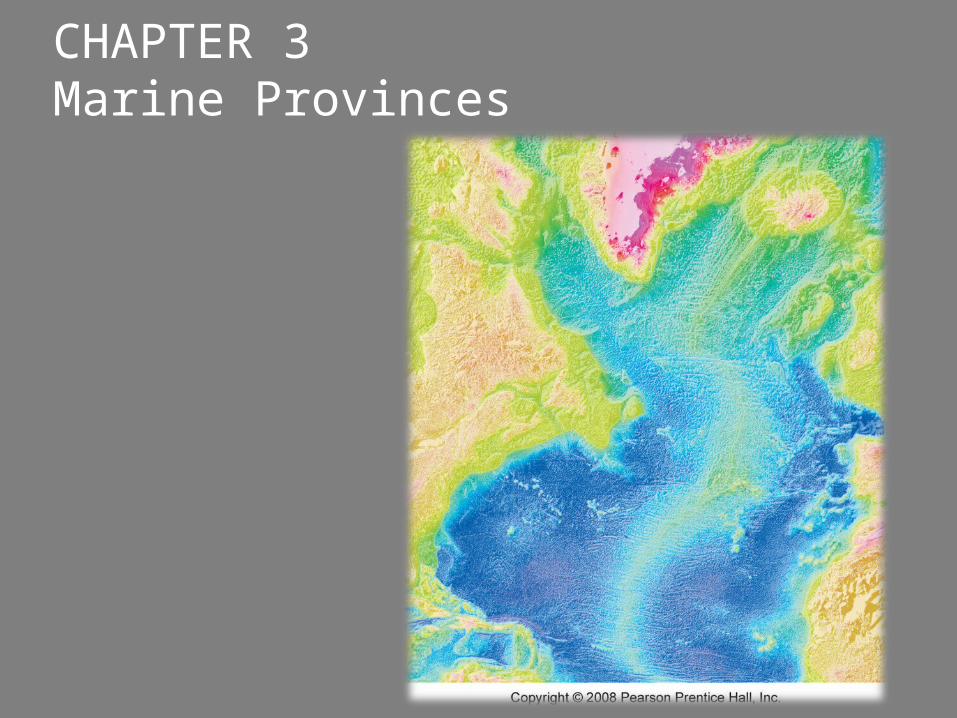
CHAPTER 3 Marine Provinces
Bathymetry – measuring ocean depths
It was once thought that the deepest parts of the ocean were in the middle of the ocean basins
○ But that is now known not to be true
Fathom○ Standard unit of measurement for ocean
depth○ 1.8 meters (~6ft)
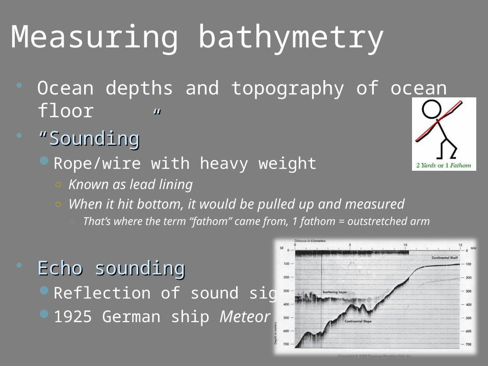
Measuring bathymetry Ocean depths and topography of ocean floor ““Sounding”Sounding”
Rope/wire with heavy weight○ Known as lead lining○ When it hit bottom, it would be pulled up and measured
○ That’s where the term “fathom” came from, 1 fathom = outstretched arm
Echo soundingEcho soundingReflection of sound signals1925 German ship Meteor
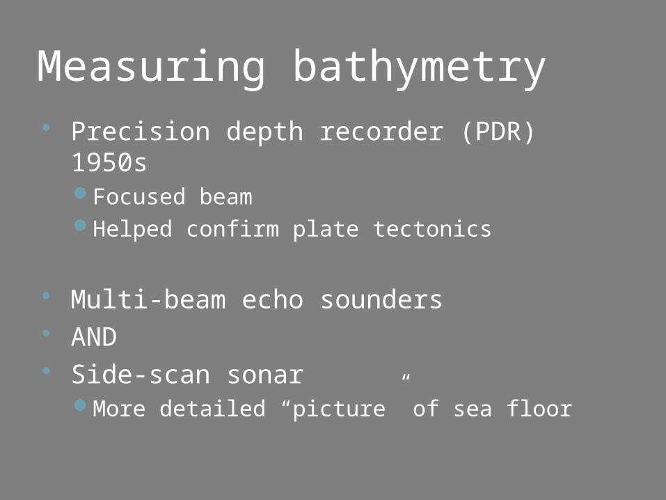
Measuring bathymetry Precision depth recorder (PDR) 1950s
Focused beamHelped confirm plate tectonics
Multi-beam echo sounders AND Side-scan sonar
More detailed “picture” of sea floor
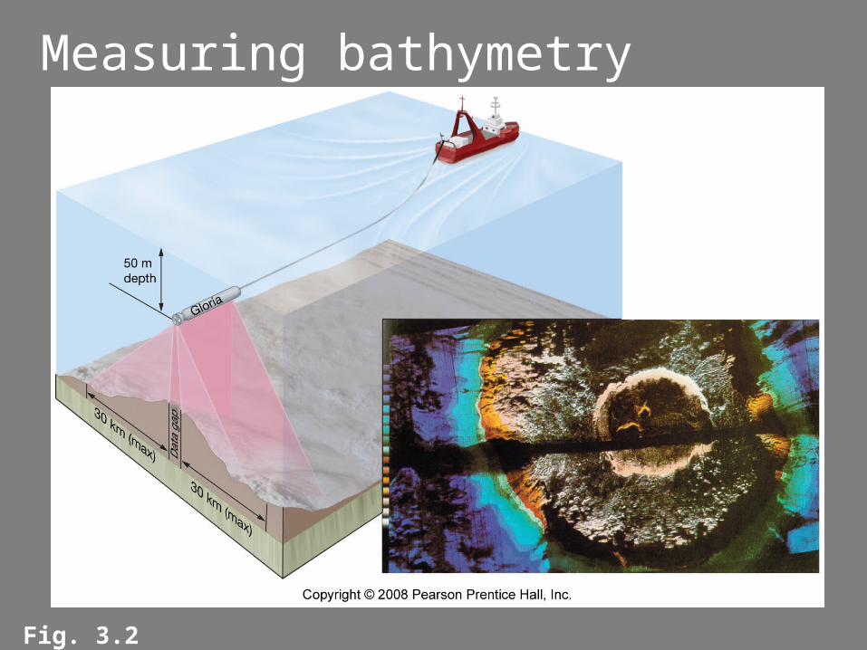
Measuring bathymetry
Fig. 3.2
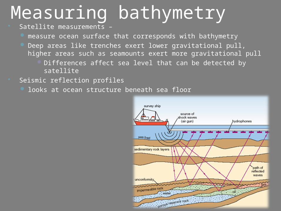
Measuring bathymetry Satellite measurements –
measure ocean surface that corresponds with bathymetry Deep areas like trenches exert lower gravitational pull, higher
areas such as seamounts exert more gravitational pullDifferences affect sea level that can be detected by satellite
Seismic reflection profiles looks at ocean structure beneath sea floor
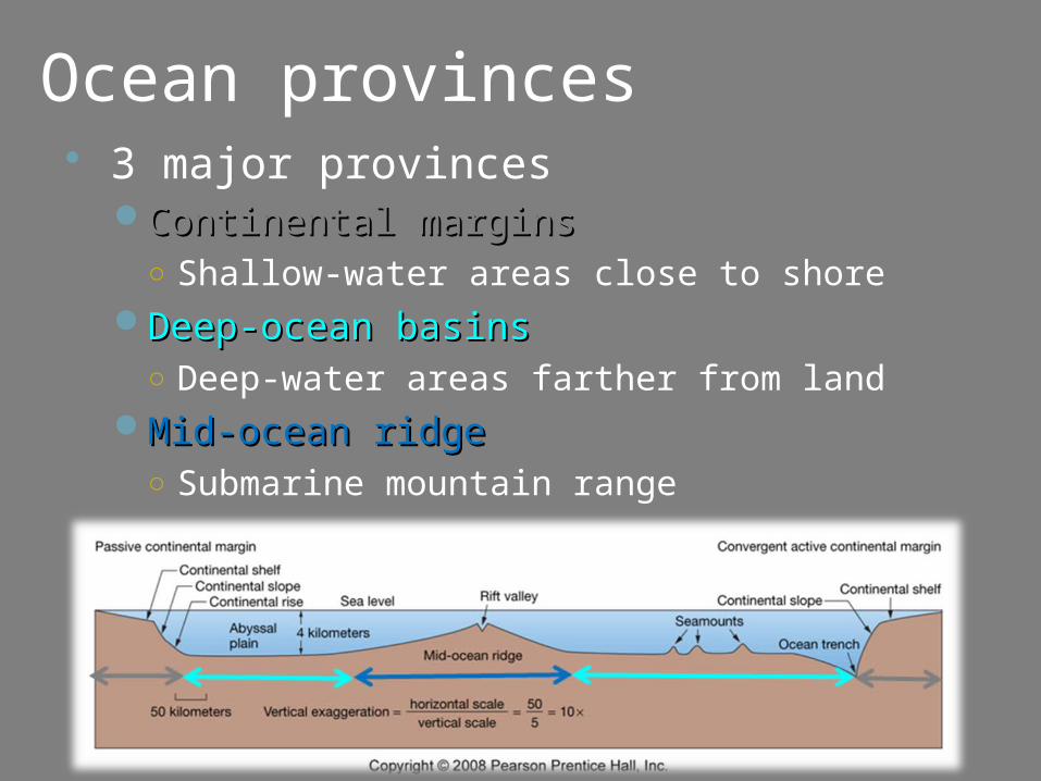
Ocean provinces 3 major provinces
Continental marginsContinental margins○ Shallow-water areas close to shore
Deep-ocean basinsDeep-ocean basins○ Deep-water areas farther from land
Mid-ocean ridgeMid-ocean ridge○ Submarine mountain range
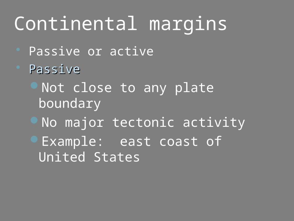
Continental margins Passive or active PassivePassive
Not close to any plate boundaryNo major tectonic activityExample: east coast of United
States
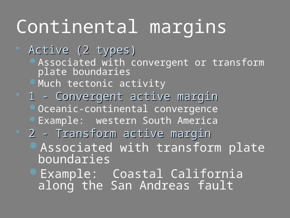
Continental margins Active (2 types)Active (2 types)
Associated with convergent or transform plate boundaries
Much tectonic activity 1 - Convergent active margin1 - Convergent active margin
Oceanic-continental convergenceExample: western South America
2 - Transform active margin2 - Transform active marginAssociated with transform plate
boundariesExample: Coastal California along
the San Andreas fault
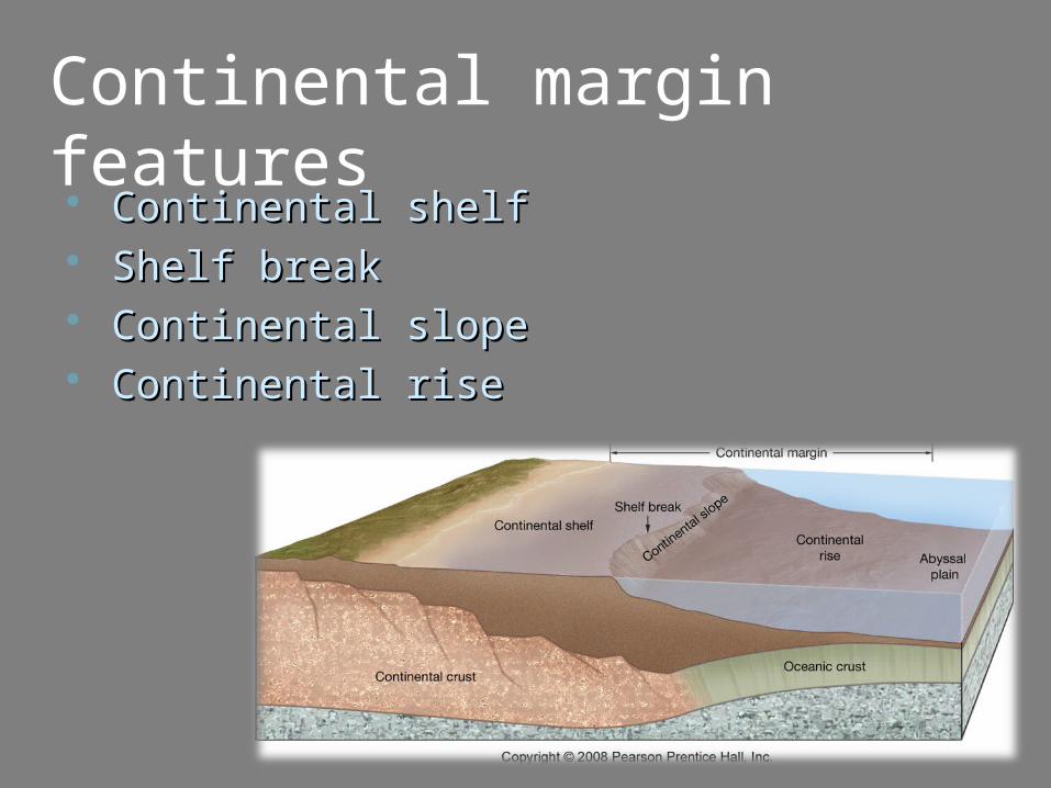
Continental margin features Continental shelfContinental shelf Shelf breakShelf break Continental slopeContinental slope Continental riseContinental rise
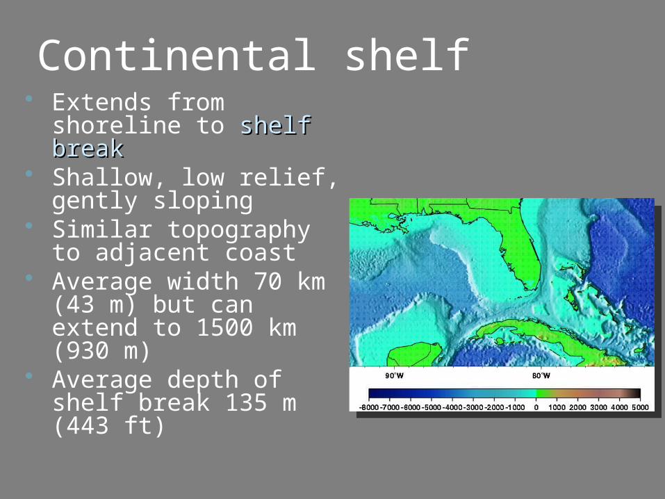
Continental shelf Extends from shoreline
to shelf breakshelf break Shallow, low relief,
gently sloping Similar topography to
adjacent coast Average width 70 km
(43 m) but can extend to 1500 km (930 m)
Average depth of shelf break 135 m (443 ft)
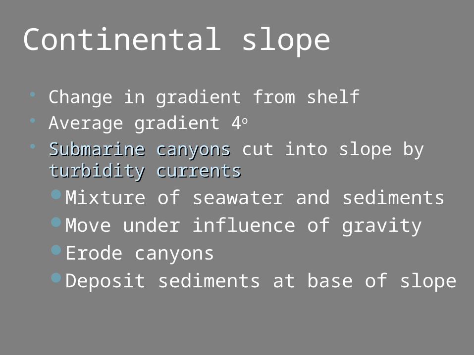
Continental slope
Change in gradient from shelf Average gradient 4o
Submarine canyonsSubmarine canyons cut into slope by turbidity currentsturbidity currentsMixture of seawater and sedimentsMove under influence of gravityErode canyonsDeposit sediments at base of slope
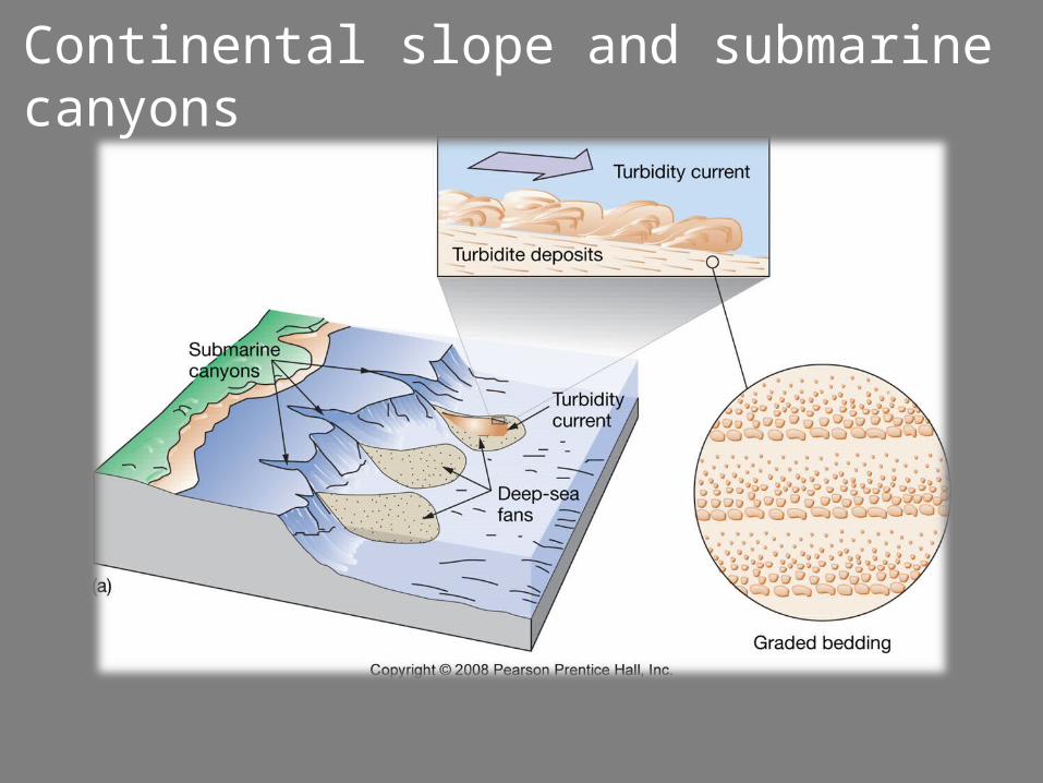
Continental slope and submarine canyons
Continental rise
Transition between continental crust and oceanic crustSubmarine fansSubmarine fans
Deep ocean basin features
Abyssal plainsAbyssal plains Volcanic peaksVolcanic peaks Ocean trenchesOcean trenches Volcanic arcsVolcanic arcs
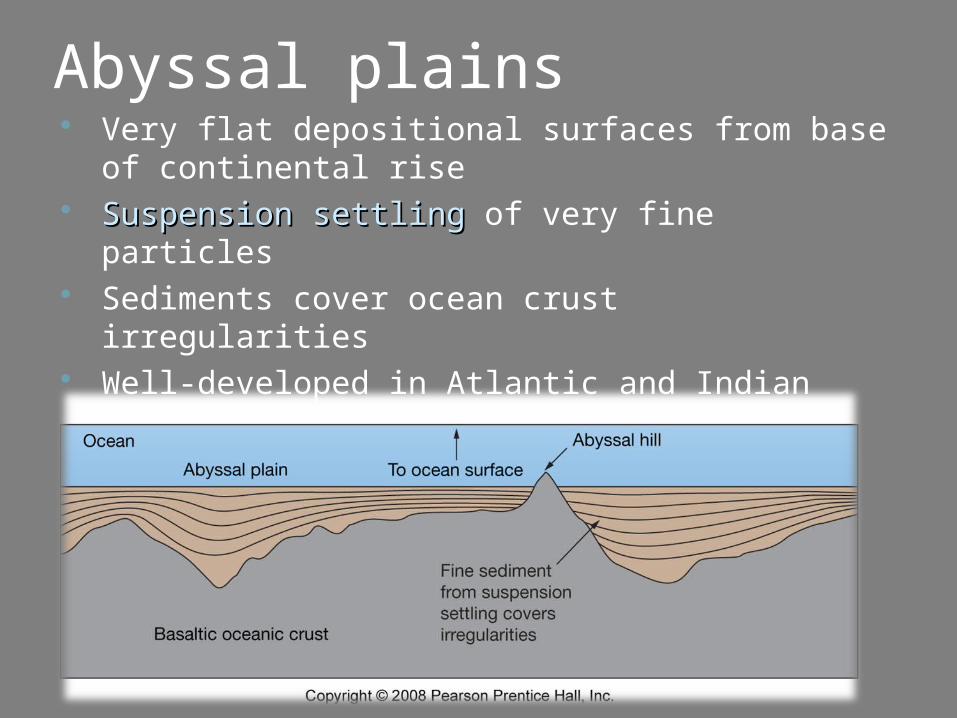
Abyssal plains Very flat depositional surfaces from base of
continental rise Suspension settlingSuspension settling of very fine particles Sediments cover ocean crust irregularities Well-developed in Atlantic and Indian oceans
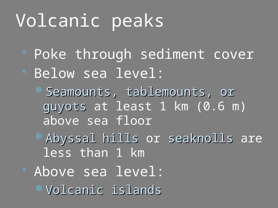
Volcanic peaks
Poke through sediment cover Below sea level:
Seamounts, tablemounts, or guyotsSeamounts, tablemounts, or guyots at least 1 km (0.6 m) above sea floor
AbyssalAbyssal hills hills or seaknollsseaknolls are less than 1 km
Above sea level:Volcanic islandsVolcanic islands
Ocean trenches Linear, narrow, steep-sided Associated with subduction
zones Deepest parts of ocean
Mariana Trench, 11,022 m (36,161 ft)
Majority in Pacific Ocean
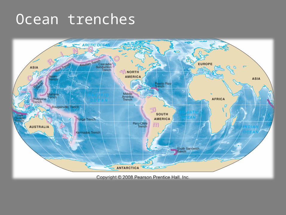
Ocean trenches
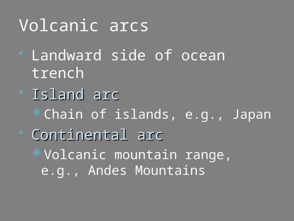
Volcanic arcs
Landward side of ocean trench Island arcIsland arc
Chain of islands, e.g., Japan Continental arcContinental arc
Volcanic mountain range, e.g., Andes Mountains
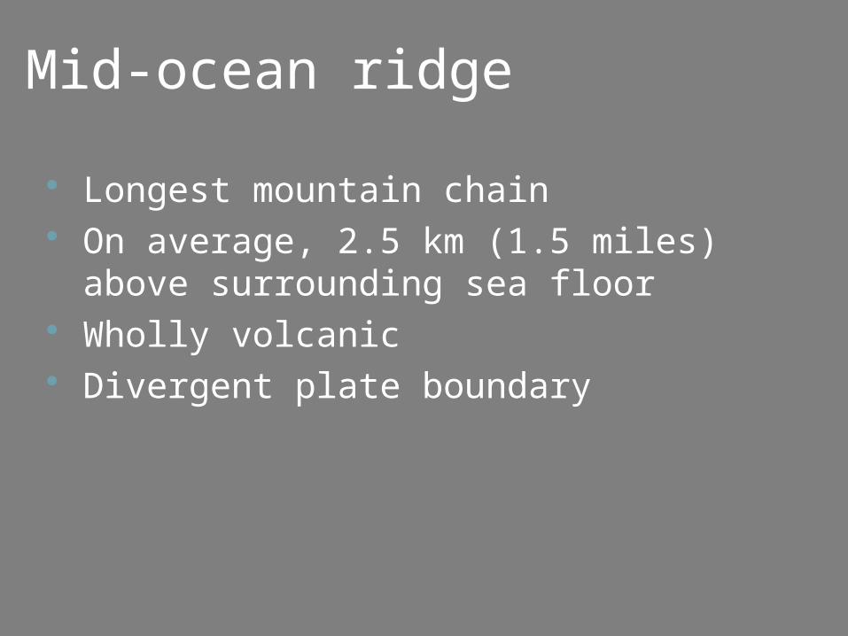
Mid-ocean ridge
Longest mountain chain On average, 2.5 km (1.5 miles) above
surrounding sea floor Wholly volcanic Divergent plate boundary
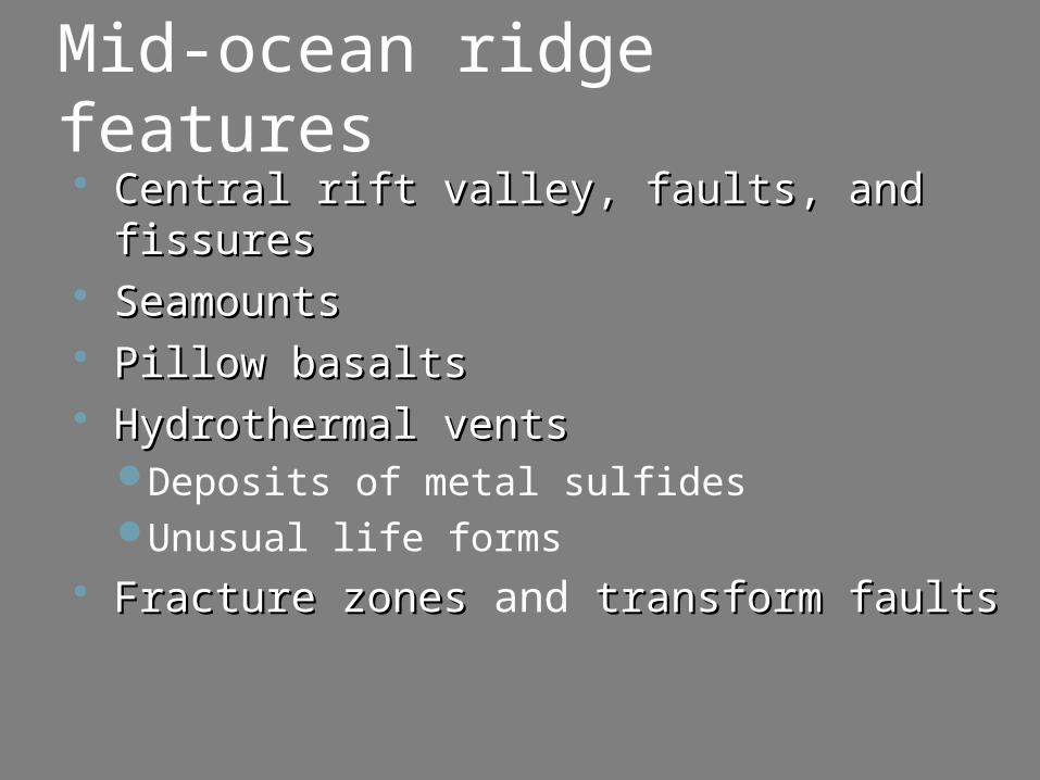
Mid-ocean ridge features Central rift valley, faults, and Central rift valley, faults, and
fissuresfissures SeamountsSeamounts Pillow basaltsPillow basalts Hydrothermal ventsHydrothermal vents
Deposits of metal sulfidesUnusual life forms
Fracture zones Fracture zones and transform faults transform faults
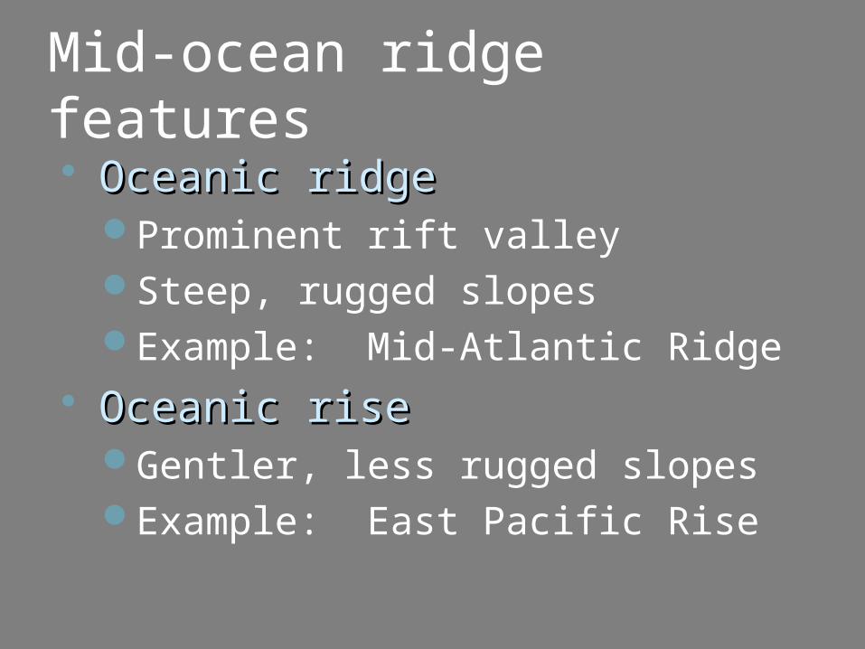
Mid-ocean ridge features Oceanic ridgeOceanic ridge
Prominent rift valleySteep, rugged slopesExample: Mid-Atlantic Ridge
Oceanic riseOceanic riseGentler, less rugged slopesExample: East Pacific Rise
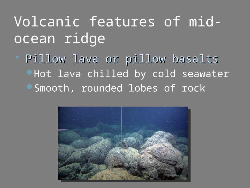
Volcanic features of mid-ocean ridge Pillow lava or pillow basaltsPillow lava or pillow basalts
Hot lava chilled by cold seawaterSmooth, rounded lobes of rock
Volcanic features of mid-ocean ridge
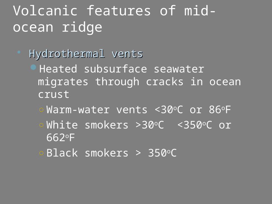
Hydrothermal ventsHydrothermal ventsHeated subsurface seawater migrates
through cracks in ocean crust○ Warm-water vents <30oC or 86oF○ White smokers >30oC <350oC or 662oF○ Black smokers > 350oC
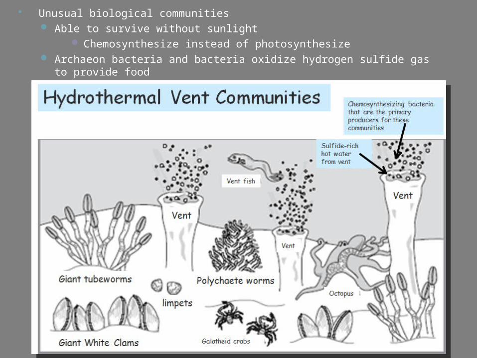
Unusual biological communities Able to survive without sunlight
Chemosynthesize instead of photosynthesize Archaeon bacteria and bacteria oxidize hydrogen sulfide gas to provide
food
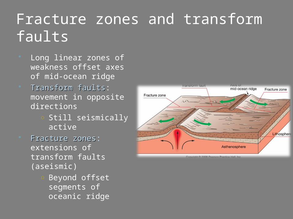
Fracture zones and transform faults
Long linear zones of weakness offset axes of mid-ocean ridge
Transform faultsTransform faults: movement in opposite directions
○ Still seismically active
Fracture zonesFracture zones: extensions of transform faults (aseismic)
○ Beyond offset segments of oceanic ridge
Ocean Literacy Standards 1b - An ocean basin’s size, shape and features (islands, trenches, mid-ocean ridges, rift
valleys) vary due to the movement of Earth’s lithospheric plates. Earth’s highest peaks, deepest valleys and flattest vast plains are all in the ocean.
5g - There are deep ocean ecosystems that are independent of energy from sunlight and photosynthetic organisms. Hydrothermal vents, submarine hot springs, methane cold seeps, and whale falls rely only on chemical energy and chemosynthetic organisms to support life.
Sunshine State Standards SC.7.E.6.1 Describe the layers of the solid Earth, including the lithosphere, the hot convecting
mantle, and the dense metallic liquid and solid cores. SC.7.E.6.3 Identify current methods for measuring the age of Earth and its parts, including the law
of superposition and radioactive dating. SC.7.E.6.4 Explain and give examples of how physical evidence supports scientific theories that
Earth has evolved over geologic time due to natural processes. SC.7.E.6.5 Explore the scientific theory of plate tectonics by describing how the movement of
Earth's crustal plates causes both slow and rapid changes in Earth's surface, including volcanic eruptions, earthquakes, and mountain building.
SC.7.E.6.7 Recognize that heat flow and movement of material within Earth causes earthquakes and volcanic eruptions, and creates mountains and ocean basins.
SC.912.E.6.1 Describe and differentiate the layers of Earth and the interactions among them.
SC.912.E.6.3 Analyze the scientific theory of plate tectonics and identify related major processes and features as a result of moving plates.
SC.912.E.6.5 Describe the geologic development of the present day oceans and identify commonly found features.