centrum voor geo-informatie metadata & clearinghouses madrid, 22 december 2004 joep crompvoets...
Post on 18-Dec-2015
215 views
TRANSCRIPT
Centrum voor Geo-informatie
Metadata & clearinghouses
Madrid, 22 December 2004Joep Crompvoets
Spatial Data Infrastructures

Centrum voor Geo-informatie
Overview Presentation
• Metadata– what is it ?– what are the standards ?– why is it difficult to organize ?
• A few remarks on Clearinghouses (Data catalogues)

Centrum voor Geo-informatie
Metadata

Centrum voor Geo-informatie
Dsal.dat
0 0 201 0 155 0 3510 0 4575 0 30. . .. . .

Centrum voor Geo-informatie
Assignment
Write down 3 characteristics that you would use to describe, to someone else, a spatial dataset.
Centrum voor Geo-informatie
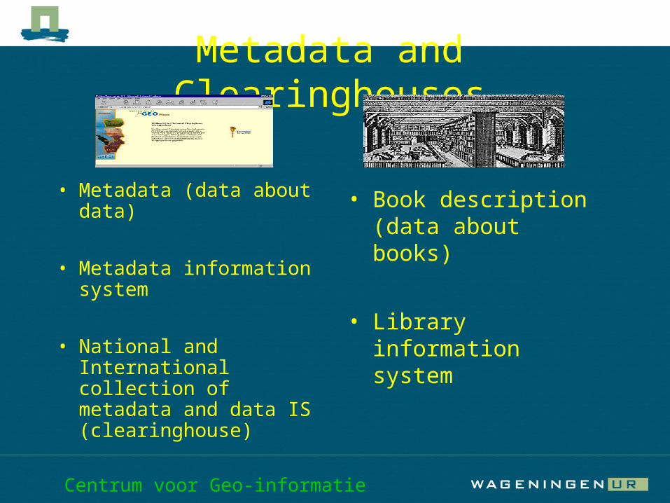
Metadata and Clearinghouses
• Metadata (data about data)
• Metadata information system
• National and International collection of metadata and data IS (clearinghouse)
• Book description (data about books)
• Library information system

Centrum voor Geo-informatie
Why describe spatial datasets?
Manage (storage and change) Search (content global ) Exchange (format ) Use (content details, Quality)
Centrum voor Geo-informatie
Target groups
Personal (storage) Own organisation (storage and
content) Other organisations (content, format,
quality, contact person)

Centrum voor Geo-informatie
Extent description
Target groups Functions
manage search exchange use Personal + + - - Own organisation ++ ++ ++ ++ Other organisation - +++ +++ +
++
Centrum voor Geo-informatie
How to describe ?
• Personal standard• Organisational standard• (inter)national standards
Centrum voor Geo-informatie
International standards
• America (FGDC)• Europe (CEN)• ISO (2003 world)
Centrum voor Geo-informatie
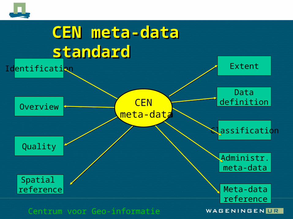
Identification
Quality
Spatial reference Meta-data
reference
Classification
Administr.meta-data
Overview CEN meta-data
Datadefinition
CEN meta-data standardCEN meta-data standard
CEN meta-data
Extent
Centrum voor Geo-informatie
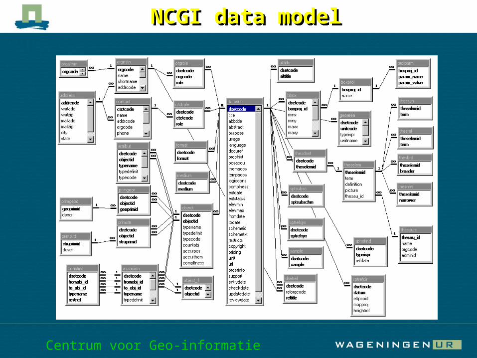
NCGI data model NCGI data model
Centrum voor Geo-informatie
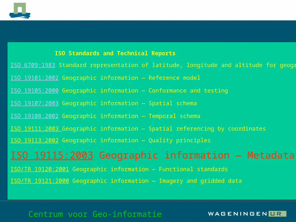
ISO Standards and Technical Reports
ISO 6709:1983 Standard representation of latitude, longitude and altitude for geographic point locations
ISO 19101:2002 Geographic information — Reference model
ISO 19105:2000 Geographic information — Conformance and testing
ISO 19107:2003 Geographic information — Spatial schema
ISO 19108:2002 Geographic information — Temporal schema
ISO 19111:2003 Geographic information — Spatial referencing by coordinates
ISO 19113:2002 Geographic information — Quality principles
ISO 19115:2003 Geographic information — Metadata ISO/TR 19120:2001 Geographic information — Functional standards
ISO/TR 19121:2000 Geographic information — Imagery and gridded data
Centrum voor Geo-informatie
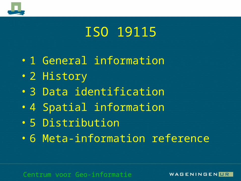
ISO 19115
• 1 General information• 2 History• 3 Data identification• 4 Spatial information• 5 Distribution• 6 Meta-information reference
Centrum voor Geo-informatie
Conclusions
• Describing spatial datasets with meta-data is essential to keep the data accessible in the future.
• For (inter)national exchange the use of a standard is a must.
• A problem with describing meta-data is that the personal requirements are less than the organisational requirements.

Centrum voor Geo-informatie

Centrum voor Geo-informatie
Clearinghouses (Data catalogues)
Centrum voor Geo-informatie
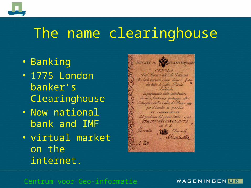
The name clearinghouse
• Banking• 1775 London
banker’s Clearinghouse
• Now national bank and IMF
• virtual market on the internet.

Centrum voor Geo-informatie
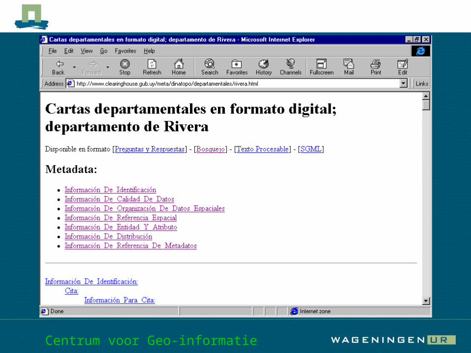
What is a clearinghouse ?
• A virtual market on the internet for spatial data.
• A metadata information system.• With functions to search, to view,
to download and to pay for spatial data.

Centrum voor Geo-informatie
Clearinghouse technical concepts
• Centralized (meta data in central database)
• Decentralized (meta data in local databases and a central query structure)
• Hybride system (part of the meta data central, part local)

Centrum voor Geo-informatie

Centrum voor Geo-informatie

Centrum voor Geo-informatie
Centrum voor Geo-informatie

Centrum voor Geo-informatie
Conclusions
• Large amount of spatial data will become available (by the internet) for GIS.
• Spatial data infrastructures, clearinghouses and metadata play an important role in data delivery.
• Knowledge of quality, concepts of metadata is essential to turn data into information.