archaeological survey techniques
TRANSCRIPT
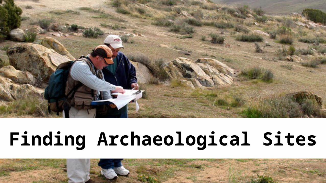
Finding Archaeological Sites


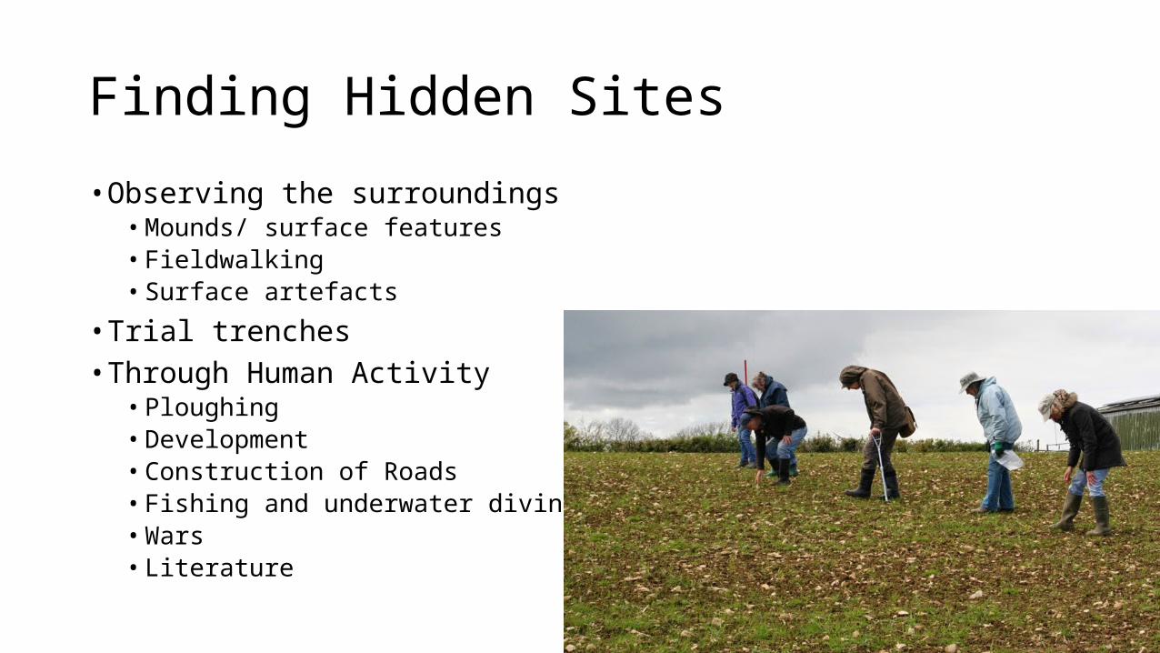
Finding Hidden Sites• Observing the surroundings
• Mounds/ surface features• Fieldwalking• Surface artefacts
• Trial trenches• Through Human Activity
• Ploughing• Development• Construction of Roads• Fishing and underwater diving• Wars• Literature

Quick Quiz• How were these archaeological sites found?


Remote Sensing – Technological Tools• Aerial Survey• Satellite Photography• Geophysical Surveying Techniques
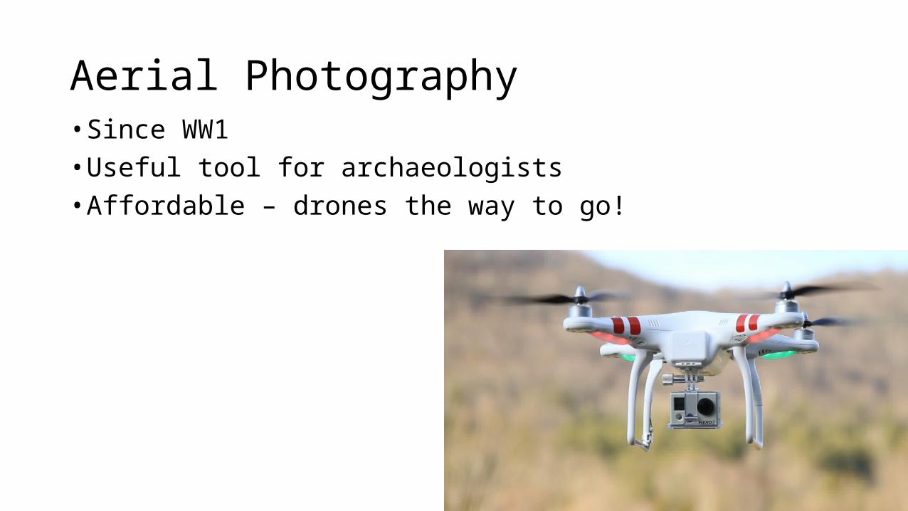
Aerial Photography• Since WW1• Useful tool for archaeologists• Affordable – drones the way to go!


Crops marks – Roman Britain• https://www.futurelearn.com/courses/hadrians-wall/0/steps/5089• (2.19mins)
• Crop marks reveal twin towers defending Roman fort at Newstead
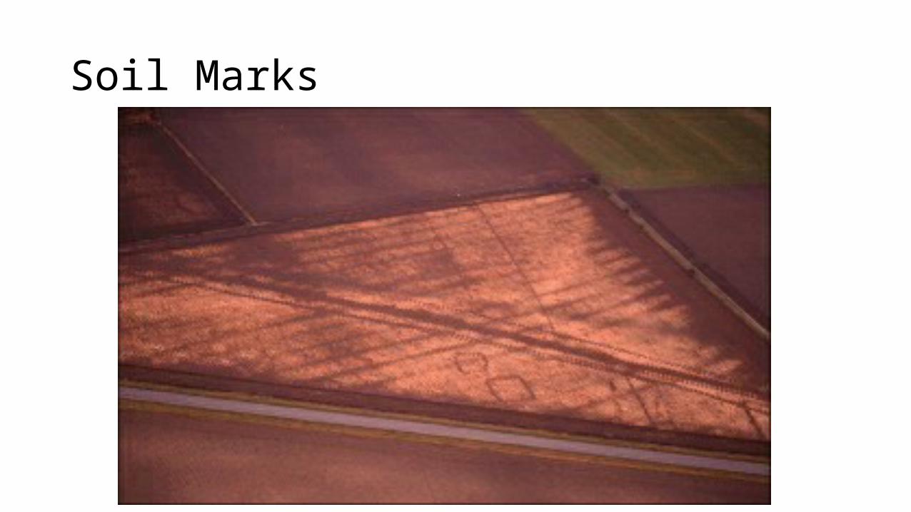
Soil Marks


Satellite Imagery• Available through NASA, government and commercial satellites• Covers large areas efficiently• Can be enhanced by filters (e.g.infrared) for greater contrast• Dr Sarah Parcak has found at least 35 new pyramids using satellite
imagery


Geophysical Survey Techniques• Ground Penetrating Radar• Resistivity Surveying• Magnetic Surveying
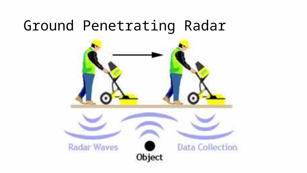
Ground Penetrating Radar

Burial site identified by GPR

Resistivity Survey• Measures electric current between the probes

Resistivity Survey - Display of Results

Magnetic Surveying• Greater speed than resistivity surveying• Magnetic field is created underground


All these techniques help the archaeologist decide where to dig

Excavation of the Site• Why do archaeologists need a method of excavating a site?

Excavation of the Site• Why do archaeologists need a method of excavating a site?• Systematic examination of the site• Systematic recording of finds and their location
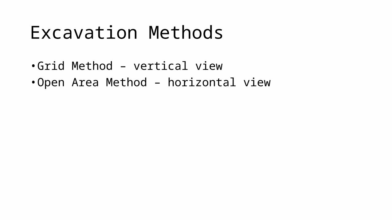
Excavation Methods• Grid Method – vertical view• Open Area Method – horizontal view

Grid Method• Square pattern of grids• Used for reference points for recording finds and buildings• Wall between grids is called a baulk• Baulks contain the vertical picture of the site• Baulks can be removed later


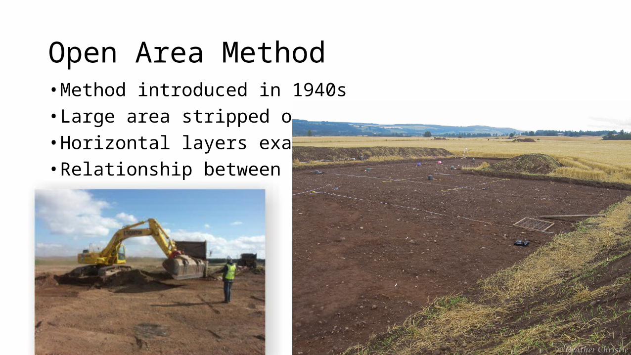
Open Area Method• Method introduced in 1940s• Large area stripped of top soil• Horizontal layers examined• Relationship between layers


• Composite of both methods• Auger to take core samples

Tools used in Excavations

Underwater Archaeology• Some techniques same as land archaeology• Some techniques from diving


Further investigation• Activity – Hypothetical dig – page 13• Discuss together
• For discussion – page 13• Consider the questions
• Underwater Archaeology – page 14• Investigate methods and issues further
• Archaeological Team – page 9• Look up any team experts you are not sure about
• Discovery of other famous sites – page 5• Investigate sites with which you are unfamiliar to find out how they were discovered