advanced gis applications in health disaster management · pdf filewenchuan earthquake china...
TRANSCRIPT

Advanced GIS Applications in
Health Disaster Management
Carmelle J. Terborgh, Ph.D.
ESRI Federal/Global Affairs

Outline
• GIS for Health Disaster Management
• Advanced GIS Applications
– Mobile
– Situational Awareness
• Resources on this topic

. . . and . . . How We Act
GIS is also Changing How We Work
• Systematic
• Holistic
• Analytic
• Quantitative
• Visual
A Science Based Approach
Acting
Decision
Making
Designing
& Planning
Measuring
Analyzing
Geo-Accounting
Visualizing

Social Issues & Human Health
Housing Foreclosures
Florida
Children Out Of School
Ethiopia
Lead Hazards
Buffalo, New York
Opium Cultivation
Afghanistan
Humanitarian Aid
Darfur
Teenage Births
King County, Washington

Public Safety
NEPA Response Time Model
Texas
Fire Response
California
Analysis of Violence
Russia
Crime Hot Spot Analysis
Nebraska
Crime Prediction
Arizona
Crime Analysis
Texas
E911 / CAD
Bahrain

Managing Natural Disasters
Cyclone
Myanmar (Burma)
Floods Simulation
Houston
Hurricane Risk
Texas
Fire History
Greece
Wildfire
Idaho
Wenchuan Earthquake
China
Aftershocks
Tornado
Alabama
Earthquake
Damage
Japan
Flood Mapping
Iowa Floods
Bihar, India

Health Disaster Management
Avian Flu (H5N1)
Outbreak
SARS
Food Insecurity
Cholera - 1854

How GIS is used in Health Sector?
Essential Uses
• Disease Surveillance &
Tracking
• Policy Analysis & Planning
• Environmental Health
Monitoring
• Vital & Immunization
Registries
• Population Health Research
• Field Data Collection
• Internet Map Publishing
• Resource Locators
• Routing & Travel Directions
Emerging Uses
• Managing Workforce
• Logistics
• Disaster Response
• Consumer Empowerment
• Disease Management
• Situational Awareness
• Health “business” Analysis
• Biomedical Applications
8

GIS applications specifically designed for Public Health
• HealthMapper – World Health Organization
(WHO)
10,000 distributed since 1993
• EpiMap – United States Centers for Disease
Control and Prevention (CDC)
1,000,000 distributed since 1996
• SigEpi – Pan American Health Organization
(PAHO)
5,000 distributed since 1998

National Health Ministries using GIS
Argentina
Australia
Austria
Bangladesh
Belgium
Belize
Bolivia
Botswana
Bulgaria
Canada
China
Colombia
Congo
Croatia
Czech Republic
Denmark
Dominican Republic
Egypt
Finland
France
Georgia
Germany
Gabon
Ghana
Greece
Guatemala
Honduras
Hong Kong
Hungary
Iceland
India
Indonesia
Ireland
Israel
Italy
Jamaica
Japan
Jordan
Kenya
Kyrgyzstan
Laos
Latvia
Lebanon
Lithuania
Malaysia
México
Moldova
Myanmar
Nepal
Netherlands
New Zealand
Nicaragua
Niger
Norway
Panama
Peru
Philippines
Poland
Portugal
Puerto Rico
Qatar
Rwanda
Saudi Arabia
Serbia
Sierra Leon
Singapore
Slovakia
Slovenia
South Africa
Spain
Sri Lanka
Swaziland
Sweden
Switzerland
Taiwan
Tajikistan
Tanzania
Thailand
Tunisia
UAE
Uganda
United Kingdom
Uruguay
Vietnam
Yemen
Zambia

Why care about global health & health disasters?
• Ministries of Health (MoH) need accurate geographic data from the
NMAs
– Vectors are people, germs, animals, and environments
• have specific geographic dimensions
• capable of broad geographical re-distribution
– Demographics – condition of the people
– Location – jurisdiction
• Relationship between health disasters and …
– Economy
– Trade
– Tourism

GIS and Health Disasters
• Time Dimension
– rapid vs. slow onset
–opportunity for planning
and mitigation
• Geographic Dimension
–vector borne diseases
(human, livestock, poultry,
migratory birds, insect)
– reporting (local, national,
global)
– field (operations) vs.
headquarters
(administration)
1. Assessment
2. Policy Development,
Planning and
Implementation
3. Assurance / Mobile
Resource Management
4. Situational Awareness /
Operational Awareness

Distribution of Infectious Diseases - by County, 2001
Pneumonias Diarrheas
DengueMalariaSource: PAHO

Modeling of Dengue Transmission
Image from Dr. Dana A. Focks http://www.id-analysis.com/pages/

HIV/AIDS Mapping
Sources: NIMA, DoS/HIU,
Gov’t of Uganda

West Nile Virus (1999-2002)

Severe Acute Respiratory Syndrome (SARS) - 2003
Source: Los Alamos National Laboratory
Source: NGA
Source: ESRI China

Avian Flu (H5N1)
• Risk of Pandemic - factors may include:
– rate of transmission
– geographical location and spread
– severity of illness
– presence of genes from human strains (if derived from an animal
strain) and/or
– other scientific parameters
Source: WHO
Source: FAO

Status in the Americas – Swine Flu (H1N1)
• As of August 7, 2009, a total of 102,905 confirmed cases have
been notified in all 35 countries in the Americas Region
• A total of 1,274 deaths have been detected among the confirmed
cases in 20 countries of the Region
Source: PAHO

Note the relationship between:
Human Health & Agriculture
• Mad Cow Disease
• Avian Flu
• Swine Flu
Source: unknown, but with a sense of humor!

GIS Supports Mobile ApplicationsMultiple Solutions for Working in the Field
• Mapping
• Editing
• Query
• GPS
• Navigation
. . . Connecting & Integrating the Mobile Work Force
Synchronized
with Geodatabase
General Purpose
Mobile GIS on Mobile Phones
Server Based
Desktop GIS on
Tablet PC
Full Feature
DesktopMobile
PDAs with GPS and Mobile GIS

GIS for Situational AwarenessSupporting a Common Operating Picture
• Emergency Management
• Community Awareness
• Homeland Security
. . . Providing Integrated Situational Awareness
GIS Infrastructure
Replication/Integration
Explorer
Mobile
Web
SituationalAwareness

Situational Awareness
• Syndromic Surveillance
• Laboratory Testing
• Disease Surveillance

Communicating & Responding
• Rapid Alerting
• Telemedicine
• Managing Bed Capacity
• Risk Assessment
Source: Pacific
Disaster Center
Source: CDC


UC
2008
Plena
30
Server GIS Patterns
Mashups
Mapping
Mobile
Replication
Distributed (SDI)
Enterprise
Departments
Web GIS Applications
Fusion Center
Enterprise Integration
IT System

UC
2008
Plena
31
Server GIS Supports Multiple
Web Development EnvironmentsRich Internet Applications
. . . Fast, Flexible & Agile
Server GIS
Web Map App
Web 2.0RESTWeb ADF
(.net/Java)
SilverLight FlexJavaScript
NEW

ArcGIS Online - Sharing Your WorkEncapsulates Your Data and Cartography
• Easily Created
• Multiple Dissemination Methods
• Directly Usable
Desktop
GIS
ArcGIS
Online
Shared
Files
CD
. . . Packages Data and Symbology

UC
2008
Plena
33
ArcGIS Explorer is Expanding GIS for EveryoneIntegrating, Visualizing & Analyzing Geographic Information
• Fast
• Intuitive
• Web Centric
. . . Creating a New Community of Users
ArcGIS Online ArcGIS Server
Accessing Maps,
Models & Globe Services

Bioterrorism… another scale of health disasters
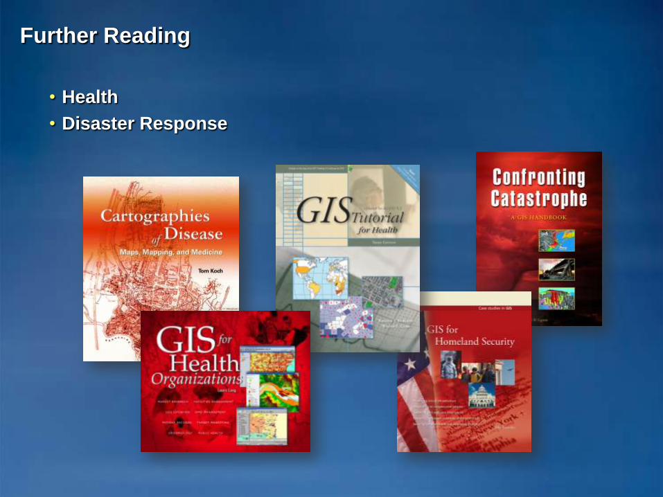
Further Reading
• Health
• Disaster Response
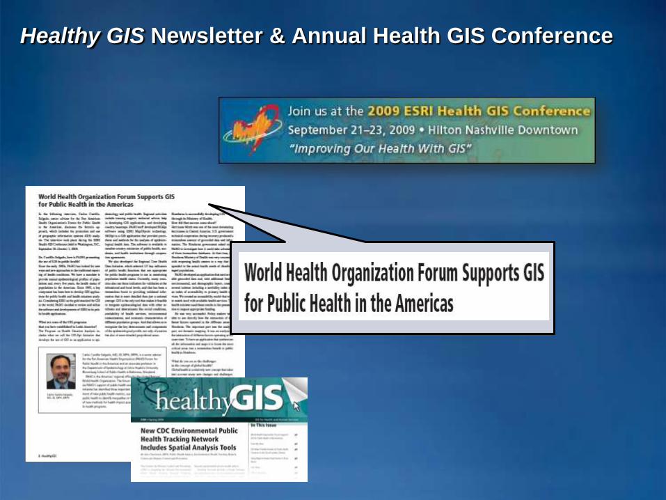
Healthy GIS Newsletter & Annual Health GIS Conference

Your work is already making a difference…
. . . Improving How We Manage Our World
• Providing the Foundation
• Making Communities Livable
• Supporting Economic Development
• Increasing Efficiency
• Improving Human Health
• Mitigating Conflicts

Thank you!