a spatial computing journey -
TRANSCRIPT

A Spatial Computing Journey Remarks for UCGIS Education Award
May 2015.
Shashi Shekhar McKnight Distinguished University Professor Department of Computer Science and Eng. University of Minnesota www.cs.umn.edu/~shekhar

Early Influences
All I know about GIS, I learned from Geographers! – And I used that to discover limitations of Computer Science – It helped advance Computer Sc. While helping application domains
University of Minnesota – R. McMaster (MGIS), W. Craig, F. Harvey (U-Spatial, MN Future Workshop), – T. Burk (Map Server), S. Ruggles (NSF Datanet Terrapop)
NCGIA, UCGIS and International – M. Goodchild, D. Mark, M. Egenhofer, M. Worboys, … – Jack Dangermond, Harvey Miller (NSF GIS and Data Mining workshop) – Canada (GEOIDE), Ireland (Geo-computation Center, NUI), UQU (Saudi Arabia) – India (GIS Center @ IIT-Mumbai, UNDP Project), China (Wuhan U, Beijing U),
Sponsors – NSF, USDOD, NASA, USDOT, MnDOT, UMN, Ford, …
2

Curriculum & Courses Note: Coursera MOOC (Fall 2014, ?Fall 2015)
Conceptual Data Models Logical Data Models (e.g., SQL3/OGIS) Physical Data Models Spatial Networks, Routing Algorithm Spatial Data Mining
Research Literature Trends: Spatial Big Data,
Spatio-temporal, IoT, VGI, …
Research Projects
Professional Master of GIS degree at UMN (w/ Prof. R. McMaster)
CSCI 8715 – Spatial Database Research (Spring 2016)
CSCI 5715 – From GPS and Google Maps to Spatial Computing (Fall 2015)

Coursera MOOC (w/ Prof. B. Hecht)
• Coursera MOOC: From GPS and Google Earth to Spatial Computing • 21,844 students from 182 countries (Fall 2014) • 8 modules, 60 short videos, in-video quizzes, interactive examinations, … • 3 Tracks: curious, concepts, technical • Flipped classroom in UMN on-campus course

Alumni in Academia
Alumni in Industry
Alumni in Government Agency
Current Students
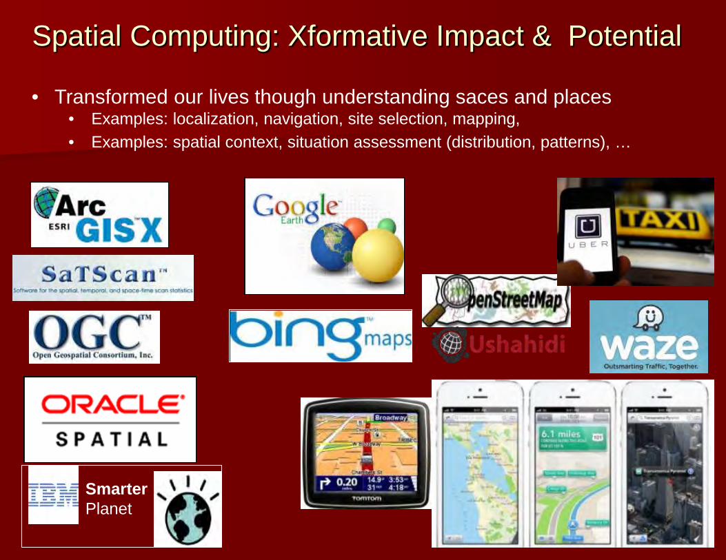
Spatial Computing: Xformative Impact & Potential
• Transformed our lives though understanding saces and places • Examples: localization, navigation, site selection, mapping, • Examples: spatial context, situation assessment (distribution, patterns), …
Smarter Planet
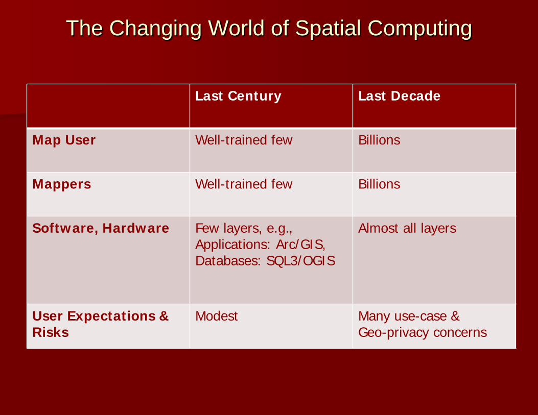
The Changing World of Spatial Computing
Last Century Last Decade
Map User Well-trained few Billions
Mappers Well-trained few Billions
Software, Hardware
Few layers, e.g., Applications: Arc/GIS, Databases: SQL3/OGIS
Almost all layers
User Expectations & Risks
Modest Many use-case & Geo-privacy concerns

8
8
CCC Visioning Workshop: Making a Case for Spatial Computing 2020 (cra.org/ccc/spatial_computing.php)

Workshop Participants
9
Academia Industry Government
>30 Universities 14 Organizations 12 Agencies

Workshop Highlights
10
Organizing Committee Agenda • Identify fundamental research questions
for individual computing disciplines • Identify cross-cutting research questions
requiring novel, multi-disciplinary solutions

Workshop Highlights
11

Report and Brochure • From GPS and Virtual Globes to Spatial Computing 2020, CCC Report, 2013. www.cra.org/ccc/visioning/visioning-activities/spatial-computing

Brochure - Backside • From GPS and Virtual Globes to Spatial Computing 2020, CCC Report, 2013. www.cra.org/ccc/visioning/visioning-activities/spatial-computing

14
A Current Opportunity : NSF INFEWS Interaction of Food System with Energy and Water Systems [Mohtar 2012].