25 – 29 may 2015 /// lisbon congress centre, portugal ... · 08.07.2015 · 25 – 29 may 2015...
TRANSCRIPT

25 – 29 MAY 2015 /// LISBON CONGRESS CENTRE, PORTUGAL
46MODERATORS
989ORGANIZATIONS
1714DELEGATES
325PRESENTATIONS
49EXHIBITORS
49EXHIBITORS
104COUNTRIES
40PARTNERS
46WORKSHOPS
REPORT 2015
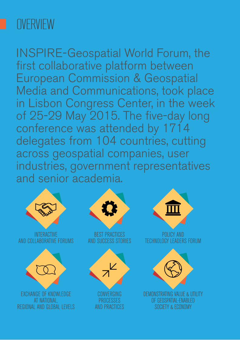
OVERVIEW
INSPIRE-Geospatial World Forum, the first collaborative platform between European Commission & Geospatial Media and Communications, took place in Lisbon Congress Center, in the week of 25-29 May 2015. The five-day long conference was attended by 1714 delegates from 104 countries, cutting across geospatial companies, user industries, government representatives and senior academia.
INTERACTIVE AND COLLABORATIVE FORUMS
EXCHANGE OF KNOWLEDGE AT NATIONAL,
REGIONAL AND GLOBAL LEVELS
BEST PRACTICES AND SUCCESS STORIES
CONVERGING PROCESSES
AND PRACTICES
POLICY AND TECHNOLOGY LEADERS FORUM
DEMONSTRATING VALUE & UTILITY OF GEOSPATIAL-ENABLED
SOCIETY & ECONOMY

DELEGATES PROFILE
CONFERENCE STATISTICS 2015
SURVEYING/ MAPPING/
PHOTOGRAMMETRY/REMOTE SENSING
19%
OTHERS
13%
LAND ADMINISTRATION
6%
HEALTH
1%
DISASTER MANAGEMENT/
EMERGENCY SERVICES/ PUBLIC SAFETY
1%
MINING AND EXPLORATION
1%
LOCATION BASED SERVICES
6%
GOVERNMENT (CENTRAL/ STATE/
REGIONAL)
12%
ARCHITECTURE/ ENGINEERING/CONSTRUCTION
5%
CONSULTING TECHNICAL SERVICES
2%
DEFENCE AND SECURITY
2%
URBAN PLANNING AND DEVELOPMENT
2%
ENVIRONMENTAL/ NATURAL RESOURCE/
FORESTRY MANAGEMENT
10%
UTILITIES (PUBLIC WORKS/TELECOMS/ENERGY & WATER/TRANSPORTATION)
4%
MARINE AND COASTAL
3%
HIGHER EDUCATION AND RESEARCH
4%
AGRICULTURE
3%
HARDWARE/SOFTWARE
DEVELOPMENT
6% Users
34%
Technology/Service Providers/Consultant
Companies
25%
National Mapping Agencies/Government
Data Providers
16%
Academic/Research Institutes
15%
Policy Makers
6%
Multilateral/ Developmental/
Professional Organisations
4%
5% 78%
6%
7%
1%3%
GEOGRAPHICAL PARTICIPATION
SECTOR PARTICIPATION
EUROPE78%
ASIA & PACIFIC7%
MIDDLE EAST6%
NORTH AMERICA5%
AFRICA3%
SOUTH AMERICA1%

5
The conference has been a great experience and I was very happy to share my works during the presentation session on Land Use & Environment. I found the presentation session was very well organized and well managed by the moderator. There was a good participation from the audience as well.
PIERRE JORCIN, GIS and Data Administrator, Naturalia-Environnement, France
INAUGURAL SESSION
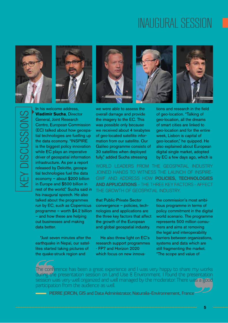
In his welcome address, Vladimir Sucha, Director General, Joint Research Centre, European Commission (EC) talked about how geospa-tial technologies are fuelling up the data economy. “INSPIRE is the biggest policy innovation while EC plays an imperative driver of geospatial information infrastructure. As per a report released by Deloitte, geospa-tial technologies fuel the data economy – about $200 billion in Europe and $500 billion in rest of the world,” Sucha said in his inaugural speech. He also talked about the programmes run by EC, such as Copernicus programme – worth $4.2 billion – and how these are helping out businesses and making data better.
“Just seven minutes after the earthquake in Nepal, our satel-lites started taking pictures of the quake-struck region and
we were able to assess the overall damage and provide the imagery to the EC. This was possible only because we received about 4 terabytes of geo-located satellite infor-mation from our satellite. Our Galileo programme consists of 30 satellites when deployed fully,” added Sucha stressing
that Public-Private Sector convergence – policies, tech-nologies and applications are the three key factors that affect the growth of the European and global geospatial industry.
He also threw light on EC’s research support programmes - FP7 and Horizon 2020 which focus on new innova-
tions and research in the field of geo-location. “Talking of geo-location, all the dreams of smart cities are linked to geo-location and for the entire week, Lisbon is capital of geo-location,” he quipped. He also explained about European digital single market, adopted by EC a few days ago, which is
the commission’s most ambi-tious programme in terms of policy commitment in the digital world scenario. The programme represents 500 million consu-mers and aims at removing the legal and interoperability barriers between organizations, systems and data which are still fragmenting the market. “The scope and value of
KEY
DISC
USSI
ONS
WORLD LEADERS FROM THE GEOSPATIAL INDUSTRY JOINED HANDS TO WITNESS THE LAUNCH OF INSPIRE-GWF AND ADDRESS HOW POLICIES, TECHNOLOGIES AND APPLICATIONS – THE THREE KEY FACTORS - AFFECT THE GROWTH OF GEOSPATIAL INDUSTRY.
6
INAUGURAL SESSION
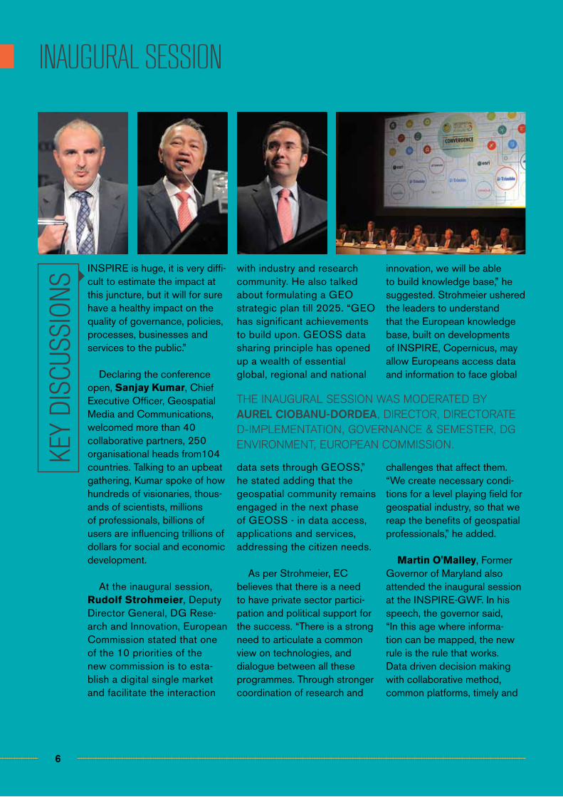
INSPIRE is huge, it is very diffi-cult to estimate the impact at this juncture, but it will for sure have a healthy impact on the quality of governance, policies, processes, businesses and services to the public.”
Declaring the conference open, Sanjay Kumar, Chief Executive Officer, Geospatial Media and Communications, welcomed more than 40 collaborative partners, 250 organisational heads from104 countries. Talking to an upbeat gathering, Kumar spoke of how hundreds of visionaries, thous-ands of scientists, millions of professionals, billions of users are influencing trillions of dollars for social and economic development.
At the inaugural session, Rudolf Strohmeier, Deputy Director General, DG Rese-arch and Innovation, European Commission stated that one of the 10 priorities of the new commission is to esta-blish a digital single market and facilitate the interaction
with industry and research community. He also talked about formulating a GEO strategic plan till 2025. “GEO has significant achievements to build upon. GEOSS data sharing principle has opened up a wealth of essential global, regional and national
data sets through GEOSS,” he stated adding that the geospatial community remains engaged in the next phase of GEOSS - in data access, applications and services, addressing the citizen needs.
As per Strohmeier, EC believes that there is a need to have private sector partici-pation and political support for the success. “There is a strong need to articulate a common view on technologies, and dialogue between all these programmes. Through stronger coordination of research and
innovation, we will be able to build knowledge base,” he suggested. Strohmeier ushered the leaders to understand that the European knowledge base, built on developments of INSPIRE, Copernicus, may allow Europeans access data and information to face global
challenges that affect them. “We create necessary condi-tions for a level playing field for geospatial industry, so that we reap the benefits of geospatial professionals,” he added.
Martin O'Malley, Former Governor of Maryland also attended the inaugural session at the INSPIRE-GWF. In his speech, the governor said, “In this age where informa-tion can be mapped, the new rule is the rule that works. Data driven decision making with collaborative method, common platforms, timely and
KEY
DISC
USSI
ONS
THE INAUGURAL SESSION WAS MODERATED BY AUREL CIOBANU-DORDEA, DIRECTOR, DIRECTORATE D-IMPLEMENTATION, GOVERNANCE & SEMESTER, DG ENVIRONMENT, EUROPEAN COMMISSION.
7
INAUGURAL SESSION
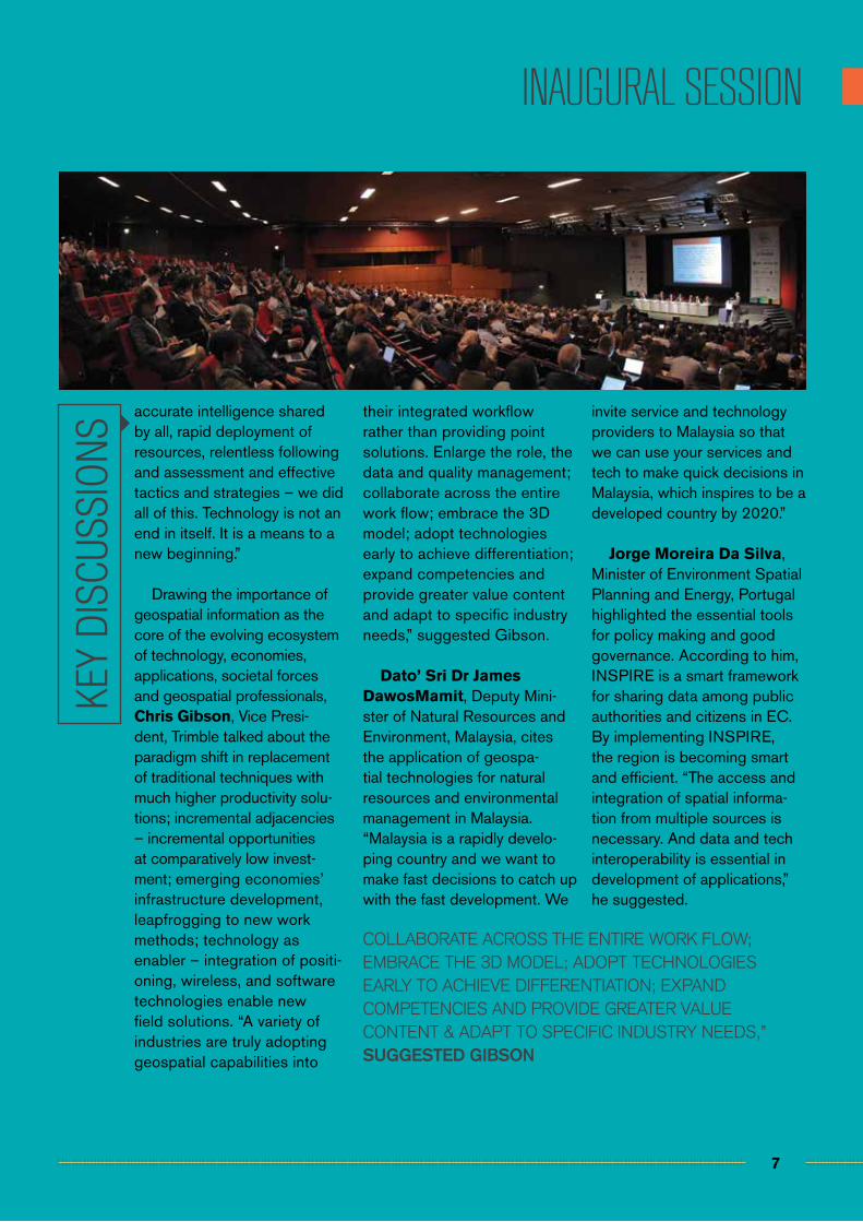
accurate intelligence shared by all, rapid deployment of resources, relentless following and assessment and effective tactics and strategies – we did all of this. Technology is not an end in itself. It is a means to a new beginning.”
Drawing the importance of geospatial information as the core of the evolving ecosystem of technology, economies, applications, societal forces and geospatial professionals, Chris Gibson, Vice Presi-dent, Trimble talked about the paradigm shift in replacement of traditional techniques with much higher productivity solu-tions; incremental adjacencies – incremental opportunities at comparatively low invest-ment; emerging economies’ infrastructure development, leapfrogging to new work methods; technology as enabler – integration of positi-oning, wireless, and software technologies enable new field solutions. “A variety of industries are truly adopting geospatial capabilities into
their integrated workflow rather than providing point solutions. Enlarge the role, the data and quality management; collaborate across the entire work flow; embrace the 3D model; adopt technologies early to achieve differentiation; expand competencies and provide greater value content and adapt to specific industry needs,” suggested Gibson.
Dato’ Sri Dr James DawosMamit, Deputy Mini-ster of Natural Resources and Environment, Malaysia, cites the application of geospa-tial technologies for natural resources and environmental management in Malaysia. “Malaysia is a rapidly develo-ping country and we want to make fast decisions to catch up with the fast development. We
invite service and technology providers to Malaysia so that we can use your services and tech to make quick decisions in Malaysia, which inspires to be a developed country by 2020.”
Jorge Moreira Da Silva, Minister of Environment Spatial Planning and Energy, Portugal highlighted the essential tools for policy making and good governance. According to him, INSPIRE is a smart framework for sharing data among public authorities and citizens in EC. By implementing INSPIRE, the region is becoming smart and efficient. “The access and integration of spatial informa-tion from multiple sources is necessary. And data and tech interoperability is essential in development of applications,” he suggested.
KEY
DISC
USSI
ONS
COLLABORATE ACROSS THE ENTIRE WORK FLOW; EMBRACE THE 3D MODEL; ADOPT TECHNOLOGIES EARLY TO ACHIEVE DIFFERENTIATION; EXPAND COMPETENCIES AND PROVIDE GREATER VALUE CONTENT & ADAPT TO SPECIFIC INDUSTRY NEEDS,” SUGGESTED GIBSON
8
CONVERGING POLICIES, PRACTICES & PROCESSES THROUGH PUBLIC PRIVATE PARTNERSHIP
A well organized conference with strong participation. It was a unique opportunity for people all over the world to get together and share their common passion for geospa-tial knowledge. I found plethora of interesting presentations and workshops, a spacious exhibition, and numerous opportunities for networking. I couldn’t ask for more.
Panagiotis Tziachris, Spatial Information Manager, Soil Science Institute of Thessaloniki, Greece
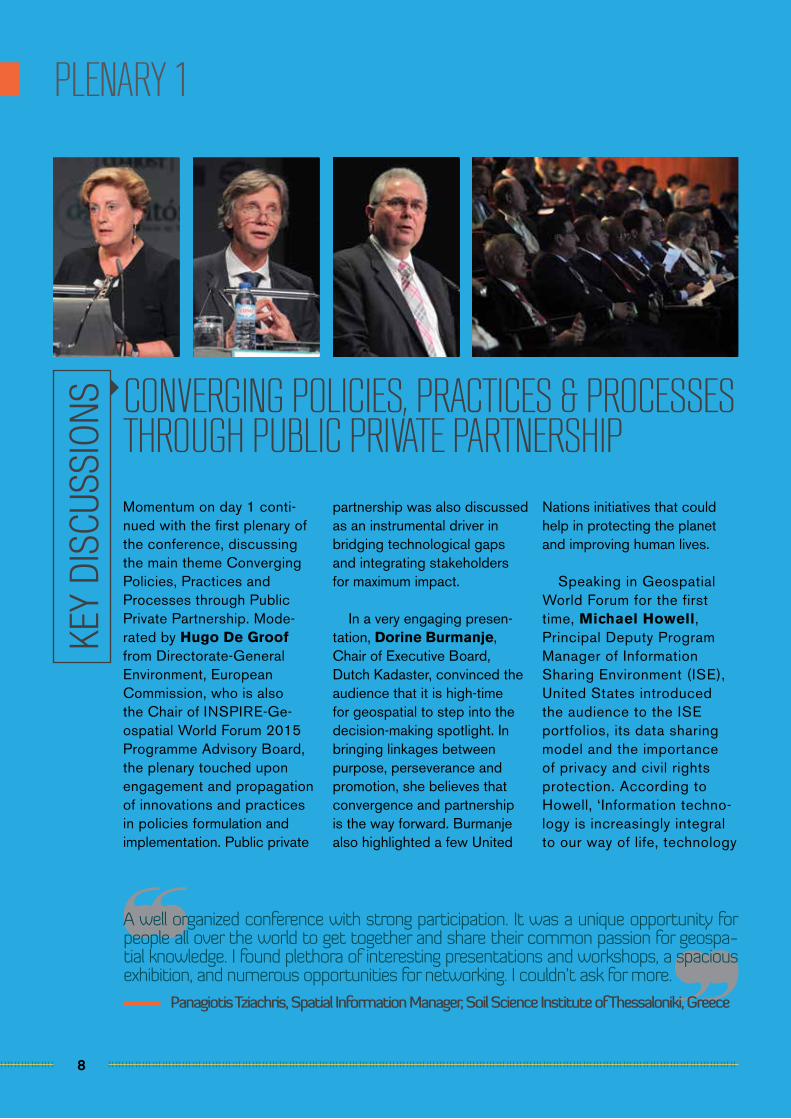
PLENARY 1
Momentum on day 1 conti-nued with the first plenary of the conference, discussing the main theme Converging Policies, Practices and Processes through Public Private Partnership. Mode-rated by Hugo De Groof from Directorate-General Environment, European Commission, who is also the Chair of INSPIRE-Ge-ospatial World Forum 2015 Programme Advisory Board, the plenary touched upon engagement and propagation of innovations and practices in policies formulation and implementation. Public private
partnership was also discussed as an instrumental driver in bridging technological gaps and integrating stakeholders for maximum impact.
In a very engaging presen-tation, Dorine Burmanje, Chair of Executive Board, Dutch Kadaster, convinced the audience that it is high-time for geospatial to step into the decision-making spotlight. In bringing linkages between purpose, perseverance and promotion, she believes that convergence and partnership is the way forward. Burmanje also highlighted a few United
Nations initiatives that could help in protecting the planet and improving human lives.
Speaking in Geospatial World Forum for the first time, Michael Howell, Principal Deputy Program Manager of Information Sharing Environment (ISE), United States introduced the audience to the ISE portfolios, its data sharing model and the importance of privacy and civil rights protection. According to Howell, ‘Information techno-logy is increasingly integral to our way of life, technology
KEY
DISC
USSI
ONS
9
Overall the event was very informative, and I also think it has been an excellent plat-form for the communication and networking among the geospatial community, as well as sharing and exchange new technologies / ideas on geospatial from countries throughout the world.
Sutha Veloo, Assistant Director, Department of Agriculture, Malaysia
PLENARY 1
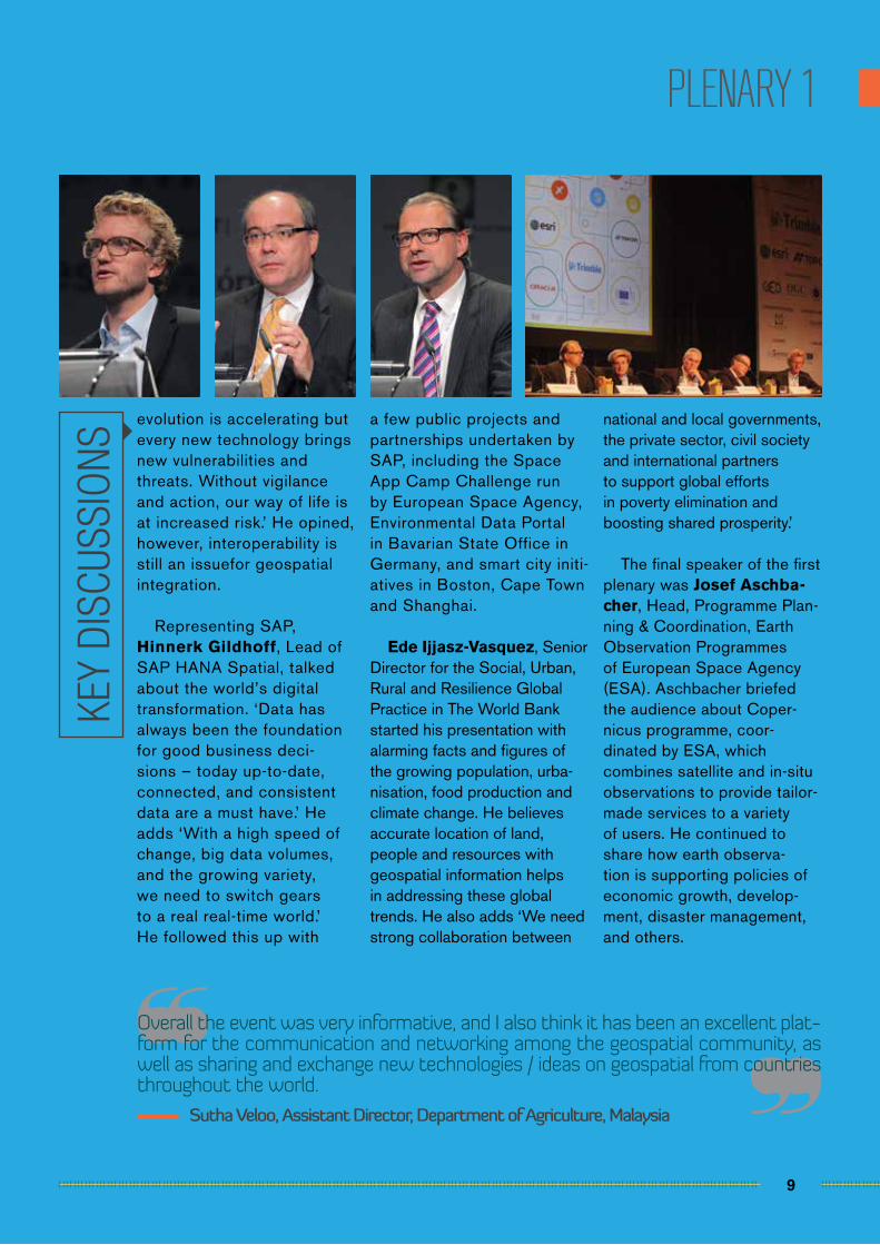
evolution is accelerating but every new technology brings new vulnerabilities and threats. Without vigilance and action, our way of life is at increased risk.’ He opined, however, interoperability is still an issuefor geospatial integration.
Representing SAP, Hinnerk Gildhoff, Lead of SAP HANA Spatial, talked about the world’s digital transformation. ‘Data has always been the foundation for good business deci-sions – today up-to-date, connected, and consistent data are a must have.’ He adds ‘With a high speed of change, big data volumes, and the growing variety, we need to switch gears to a real real-time world.’ He followed this up with
a few public projects and partnerships undertaken by SAP, including the Space App Camp Challenge run by European Space Agency, Environmental Data Portal in Bavarian State Office in Germany, and smart city initi-atives in Boston, Cape Town and Shanghai.
Ede Ijjasz-Vasquez, Senior Director for the Social, Urban, Rural and Resilience Global Practice in The World Bank started his presentation with alarming facts and figures of the growing population, urba-nisation, food production and climate change. He believes accurate location of land, people and resources with geospatial information helps in addressing these global trends. He also adds ‘We need strong collaboration between
national and local governments, the private sector, civil society and international partners to support global efforts in poverty elimination and boosting shared prosperity.’
The final speaker of the first plenary was Josef Aschba-cher, Head, Programme Plan-ning & Coordination, Earth Observation Programmes of European Space Agency (ESA). Aschbacher briefed the audience about Coper-nicus programme, coor-dinated by ESA, which combines satellite and in-situ observations to provide tailor-made services to a variety of users. He continued to share how earth observa-tion is supporting policies of economic growth, develop-ment, disaster management, and others.
KEY
DISC
USSI
ONS
10
We at GeoSolutions are very impressed with the GWF 2015, it was one of the best events we have attended in a while. It was well organised, the presentations and work-shop programme was good and the energy in the exhibition area was impressive. Defi-nitely the place to be for a GIS company.
Simone Giannecchini, Managing Director, GeoSolutions, Italy
PLENARY 2
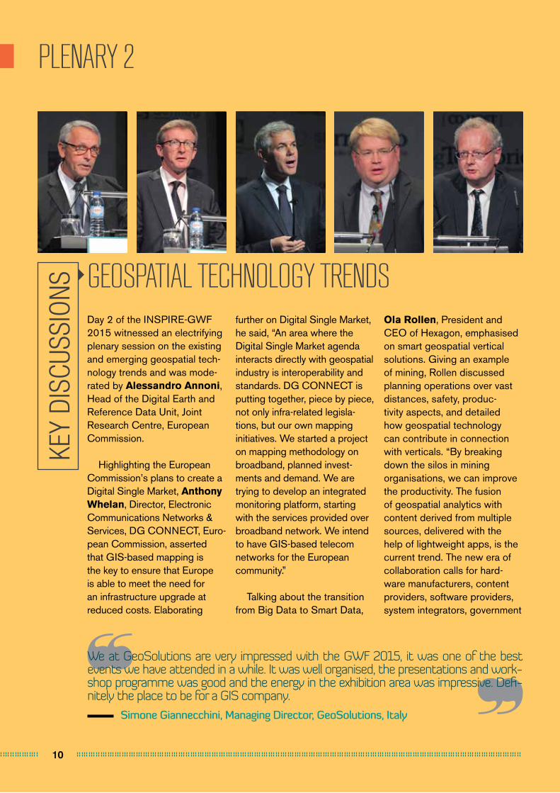
GEOSPATIAL TECHNOLOGY TRENDSDay 2 of the INSPIRE-GWF 2015 witnessed an electrifying plenary session on the existing and emerging geospatial tech-nology trends and was mode-rated by Alessandro Annoni, Head of the Digital Earth and Reference Data Unit, Joint Research Centre, European Commission.
Highlighting the European Commission’s plans to create a Digital Single Market, Anthony Whelan, Director, Electronic Communications Networks & Services, DG CONNECT, Euro-pean Commission, asserted that GIS-based mapping is the key to ensure that Europe is able to meet the need for an infrastructure upgrade at reduced costs. Elaborating
further on Digital Single Market, he said, “An area where the Digital Single Market agenda interacts directly with geospatial industry is interoperability and standards. DG CONNECT is putting together, piece by piece, not only infra-related legisla-tions, but our own mapping initiatives. We started a project on mapping methodology on broadband, planned invest-ments and demand. We are trying to develop an integrated monitoring platform, starting with the services provided over broadband network. We intend to have GIS-based telecom networks for the European community.”
Talking about the transition from Big Data to Smart Data,
Ola Rollen, President and CEO of Hexagon, emphasised on smart geospatial vertical solutions. Giving an example of mining, Rollen discussed planning operations over vast distances, safety, produc-tivity aspects, and detailed how geospatial technology can contribute in connection with verticals. “By breaking down the silos in mining organisations, we can improve the productivity. The fusion of geospatial analytics with content derived from multiple sources, delivered with the help of lightweight apps, is the current trend. The new era of collaboration calls for hard-ware manufacturers, content providers, software providers, system integrators, government
KEY
DISC
USSI
ONS
11
The 2015 GWF was a valuable opportunity to present BlackBridge’s satellite imagery products and applications. We were pleased to network with the diverse mixture of colleagues, organizations and markets that attended.
Jason Setzer, Cloud Product Manager, Blackbridge, Germany
PLENARY 2
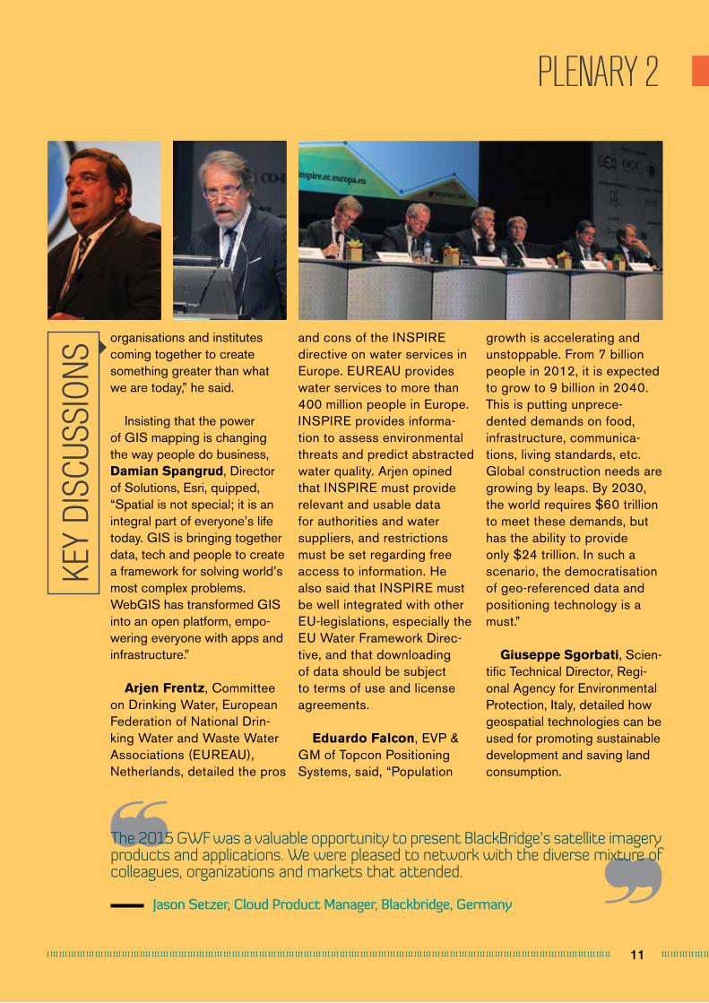
organisations and institutes coming together to create something greater than what we are today,” he said.
Insisting that the power of GIS mapping is changing the way people do business, Damian Spangrud, Director of Solutions, Esri, quipped, “Spatial is not special; it is an integral part of everyone’s life today. GIS is bringing together data, tech and people to create a framework for solving world’s most complex problems. WebGIS has transformed GIS into an open platform, empo-wering everyone with apps and infrastructure.”
Arjen Frentz, Committee on Drinking Water, European Federation of National Drin-king Water and Waste Water Associations (EUREAU), Netherlands, detailed the pros
and cons of the INSPIRE directive on water services in Europe. EUREAU provides water services to more than 400 million people in Europe. INSPIRE provides informa-tion to assess environmental threats and predict abstracted water quality. Arjen opined that INSPIRE must provide relevant and usable data for authorities and water suppliers, and restrictions must be set regarding free access to information. He also said that INSPIRE must be well integrated with other EU-legislations, especially the EU Water Framework Direc-tive, and that downloading of data should be subject to terms of use and license agreements.
Eduardo Falcon, EVP & GM of Topcon Positioning Systems, said, “Population
growth is accelerating and unstoppable. From 7 billion people in 2012, it is expected to grow to 9 billion in 2040. This is putting unprece-dented demands on food, infrastructure, communica-tions, living standards, etc. Global construction needs are growing by leaps. By 2030, the world requires $60 trillion to meet these demands, but has the ability to provide only $24 trillion. In such a scenario, the democratisation of geo-referenced data and positioning technology is a must.”
Giuseppe Sgorbati, Scien-tific Technical Director, Regi-onal Agency for Environmental Protection, Italy, detailed how geospatial technologies can be used for promoting sustainable development and saving land consumption.
KEY
DISC
USSI
ONS
12
PLENARY 3
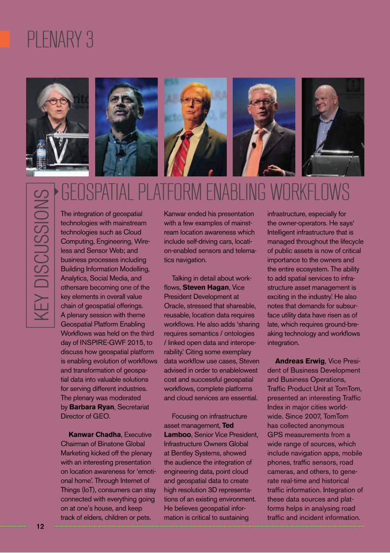
GEOSPATIAL PLATFORM ENABLING WORKFLOWSThe integration of geospatial technologies with mainstream technologies such as Cloud Computing, Engineering, Wire-less and Sensor Web; and business processes including Building Information Modelling, Analytics, Social Media, and othersare becoming one of the key elements in overall value chain of geospatial offerings. A plenary session with theme Geospatial Platform Enabling Workflows was held on the third day of INSPIRE-GWF 2015, to discuss how geospatial platform is enabling evolution of workflows and transformation of geospa-tial data into valuable solutions for serving different industries. The plenary was moderated by Barbara Ryan, Secretariat Director of GEO.
Kanwar Chadha, Executive Chairman of Binatone Global Marketing kicked off the plenary with an interesting presentation on location awareness for ‘emoti-onal home’. Through Internet of Things (IoT), consumers can stay connected with everything going on at one’s house, and keep track of elders, children or pets.
Kanwar ended his presentation with a few examples of mainst-ream location awareness which include self-driving cars, locati-on-enabled sensors and telema-tics navigation.
Talking in detail about work-flows, Steven Hagan, Vice President Development at Oracle, stressed that shareable, reusable, location data requires workflows. He also adds ‘sharing requires semantics / ontologies / linked open data and interope-rability.’ Citing some exemplary data workflow use cases, Steven advised in order to enablelowest cost and successful geospatial workflows, complete platforms and cloud services are essential.
Focusing on infrastructure asset management, Ted Lamboo, Senior Vice President, Infrastructure Owners Global at Bentley Systems, showed the audience the integration of engineering data, point cloud and geospatial data to create high resolution 3D representa-tions of an existing environment. He believes geospatial infor-mation is critical to sustaining
infrastructure, especially for the owner-operators. He says‘ Intelligent infrastructure that is managed throughout the lifecycle of public assets is now of critical importance to the owners and the entire ecosystem. The ability to add spatial services to infra-structure asset management is exciting in the industry.’ He also notes that demands for subsur-face utility data have risen as of late, which requires ground-bre-aking technology and workflows integration.
Andreas Erwig, Vice Presi-dent of Business Development and Business Operations, Traffic Product Unit at TomTom, presented an interesting Traffic Index in major cities world-wide. Since 2007, TomTom has collected anonymous GPS measurements from a wide range of sources, which include navigation apps, mobile phones, traffic sensors, road cameras, and others, to gene-rate real-time and historical traffic information. Integration of these data sources and plat-forms helps in analysing road traffic and incident information.
KEY
DISC
USSI
ONS
13
PLENARY 4
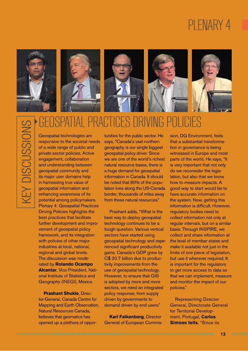
GEOSPATIAL PRACTICES DRIVING POLICIESGeospatial technologies are responsive to the societal needs of a wide range of public and private sector policies. Active engagement, collaboration and understanding between geospatial community and its major user domains help in harnessing true value of geospatial information and enhancing awareness of its potential among policymakers. Plenary 4: Geospatial Practices Driving Policies highlights the best practices that facilitate further development and impro-vement of geospatial policy framework, and its integration with policies of other major industries at local, national, regional and global levels. The discussion was mode-rated by Rolando Ocampo Alcantar, Vice President, Nati-onal Institute of Statistics and Geography (INEGI), Mexico.
Prashant Shukle, Direc-tor-General, Canada Centre for Mapping and Earth Observation, Natural Resources Canada, believes that geomatics has opened up a plethora of oppor-
tunities for the public sector. He says, “Canada’s vast northern geography is our single biggest geospatial policy driver. Since we are one of the world’s richest natural resource bases, there is a huge demand for geospatial information in Canada. It should be noted that 80% of the popu-lation lives along the US-Canada border, thousands of miles away from these natural resources.”
Prashant adds, “What is the best way to deploy geospatial technology continues to be a tough question. Various vertical sectors have started using geospatial technology and expe-rienced significant productivity gains. Canada’s GDP grew by C$ 20.7 billion due to produc-tivity improvements from the use of geospatial technology. However, to ensure that GIS is adopted by more and more sectors, we need an integrated policy response, from supply driven by governments to demand driven by end users.”
Karl Falkenberg, Director General of European Commis-
sion, DG Environment, feels that a substantial transforma-tion in governance is being witnessed in Europe and most parts of the world. He says, “It is very important that not only do we reconsider the legis-lation, but also that we know how to measure impacts. A good way to start would be to have accurate information on the system. Now, getting this information is difficult. However, regulatory bodies need to collect information not only at regular intervals, but on a similar basis. Through INSPIRE, we collect and share information at the level of member states and make it available not just in the limits of one piece of legislation, but use it wherever required. It is important for the regulators to get more access to data so that we can implement, measure and monitor the impact of our policies.”
Representing Director General, Directorate General for Territorial Develop-ment, Portugal, Carlos Simoes tells, “Since its
KEY
DISC
USSI
ONS
14
PLENARY 4
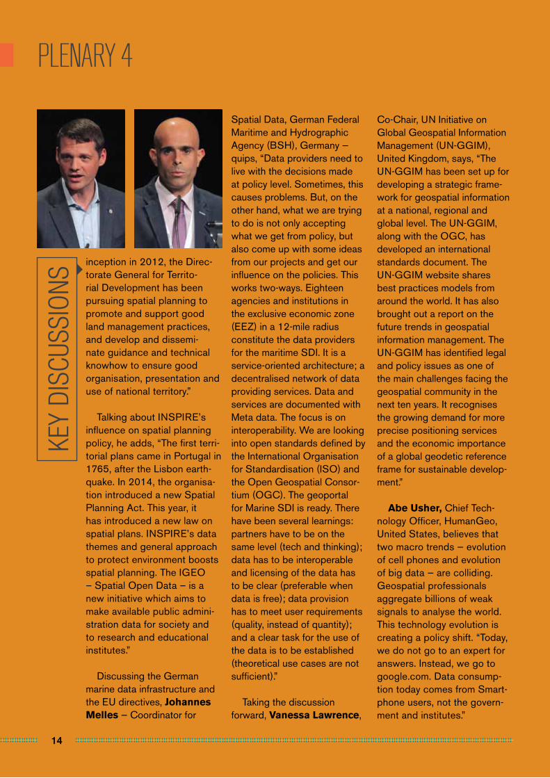
inception in 2012, the Direc-torate General for Territo-rial Development has been pursuing spatial planning to promote and support good land management practices, and develop and dissemi-nate guidance and technical knowhow to ensure good organisation, presentation and use of national territory.”
Talking about INSPIRE’s influence on spatial planning policy, he adds, “The first terri-torial plans came in Portugal in 1765, after the Lisbon earth-quake. In 2014, the organisa-tion introduced a new Spatial Planning Act. This year, it has introduced a new law on spatial plans. INSPIRE’s data themes and general approach to protect environment boosts spatial planning. The IGEO – Spatial Open Data – is a new initiative which aims to make available public admini-stration data for society and to research and educational institutes.”
Discussing the German marine data infrastructure and the EU directives, Johannes Melles — Coordinator for
Spatial Data, German Federal Maritime and Hydrographic Agency (BSH), Germany — quips, “Data providers need to live with the decisions made at policy level. Sometimes, this causes problems. But, on the other hand, what we are trying to do is not only accepting what we get from policy, but also come up with some ideas from our projects and get our influence on the policies. This works two-ways. Eighteen agencies and institutions in the exclusive economic zone (EEZ) in a 12-mile radius constitute the data providers for the maritime SDI. It is a service-oriented architecture; a decentralised network of data providing services. Data and services are documented with Meta data. The focus is on interoperability. We are looking into open standards defined by the International Organisation for Standardisation (ISO) and the Open Geospatial Consor-tium (OGC). The geoportal for Marine SDI is ready. There have been several learnings: partners have to be on the same level (tech and thinking); data has to be interoperable and licensing of the data has to be clear (preferable when data is free); data provision has to meet user requirements (quality, instead of quantity); and a clear task for the use of the data is to be established (theoretical use cases are not sufficient).”
Taking the discussion forward, Vanessa Lawrence,
Co-Chair, UN Initiative on Global Geospatial Information Management (UN-GGIM), United Kingdom, says, “The UN-GGIM has been set up for developing a strategic frame-work for geospatial information at a national, regional and global level. The UN-GGIM, along with the OGC, has developed an international standards document. The UN-GGIM website shares best practices models from around the world. It has also brought out a report on the future trends in geospatial information management. The UN-GGIM has identified legal and policy issues as one of the main challenges facing the geospatial community in the next ten years. It recognises the growing demand for more precise positioning services and the economic importance of a global geodetic reference frame for sustainable develop-ment.”
Abe Usher, Chief Tech-nology Officer, HumanGeo, United States, believes that two macro trends — evolution of cell phones and evolution of big data — are colliding. Geospatial professionals aggregate billions of weak signals to analyse the world. This technology evolution is creating a policy shift. “Today, we do not go to an expert for answers. Instead, we go to google.com. Data consump-tion today comes from Smart-phone users, not the govern-ment and institutes.”
KEY
DISC
USSI
ONS
INSPIRE PROGRAMMES
16
INSPIRE IMPLEMENTATION - STATE OF PLAY
It was a very grateful experience sharing knowledge on Web GIS with colleague from different countries and sectors such as public organizations and private companies. In general, I am really satisfied with the content of the whole conference.
Alicia Gonzalez, Geographer Engineer - SDI Department, National Geographic Institute, Spain
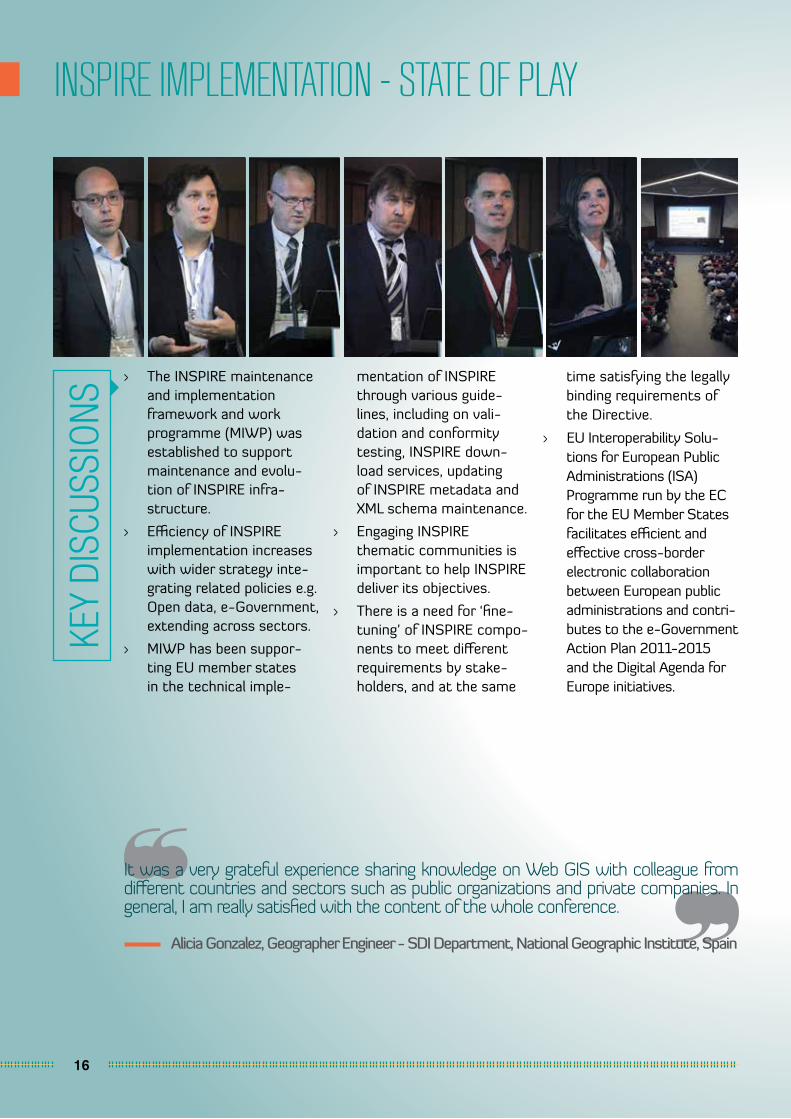
> The INSPIRE maintenance and implementation framework and work programme (MIWP) was established to support maintenance and evolu-tion of INSPIRE infra-structure.
> Efficiency of INSPIRE implementation increases with wider strategy inte-grating related policies e.g. Open data, e-Government, extending across sectors.
> MIWP has been suppor-ting EU member states in the technical imple-
KEY
DISC
USSI
ONS
mentation of INSPIRE through various guide-lines, including on vali-dation and conformity testing, INSPIRE down-load services, updating of INSPIRE metadata and XML schema maintenance.
> Engaging INSPIRE thematic communities is important to help INSPIRE deliver its objectives.
> There is a need for ‘fine-tuning’ of INSPIRE compo-nents to meet different requirements by stake-holders, and at the same
time satisfying the legally binding requirements of the Directive.
> EU Interoperability Solu-tions for European Public Administrations (ISA) Programme run by the EC for the EU Member States facilitates efficient and effective cross-border electronic collaboration between European public administrations and contri-butes to the e-Government Action Plan 2011-2015 and the Digital Agenda for Europe initiatives.

17
INSPIRE: PROGRESS IN IMPLEMENTATION
The INSPIRE-GWF has been a perfect opportunity to meet people from all over the world in a single place, sharing experience and visions about the future of the geospatial market and applications.
Massimo Zotti, Head of the Strategic Business Unit ‘Government & Security’, Planetek Italia, Italy
KEY
DISC
USSI
ONS
> The 2013 INSPIRE Country Monitoring Reports shown that implementation of INSPIRE is well underway and necessary steps are being taken by Member States. There has been significant improvement in the quality of reporting costs and benefits but benefits quantification seems to still be a chal-lenge.
> European Environment Agency is developing a dashboard to ease the reporting process for Member States and enable data compa-rison and trend detec-
tion throughout INSPIRE implementation.
> The French Ministry of Environment has been implementing INSPIRE data model for its flood directive to avoid dupli-cation of costs. The complex data models with high-density of associa-tions, however, are posing difficulties in data produc-tion process.
> While environmental data has always been the intended target of INSPIRE, a reference data foundation needs to be in place which depends on the co-operation
with other communi-ties (mapping agencies, statistical offices).
> Germany has developed a tool as part of its SDI component to automate delivery of INSPIRE Moni-toring information.
> The potential of INSPIRE to play an active role in supporting efficient and effective environmental management has not yet been fully explo-ited. It is important to make INSPIRE valuable for those working with environmental manage-ment as they are the main suppliers and users.
18
INSPIRE: INTEROPERABILITY IN PRACTICE
A lot of the discussions I found very insightful and valuable and I thought overall there was a good balance of technical and non-technical (legal, best practices, etc.) content.
Laura Delgado Lopez, Project Manager, Secure World Foundation, United States
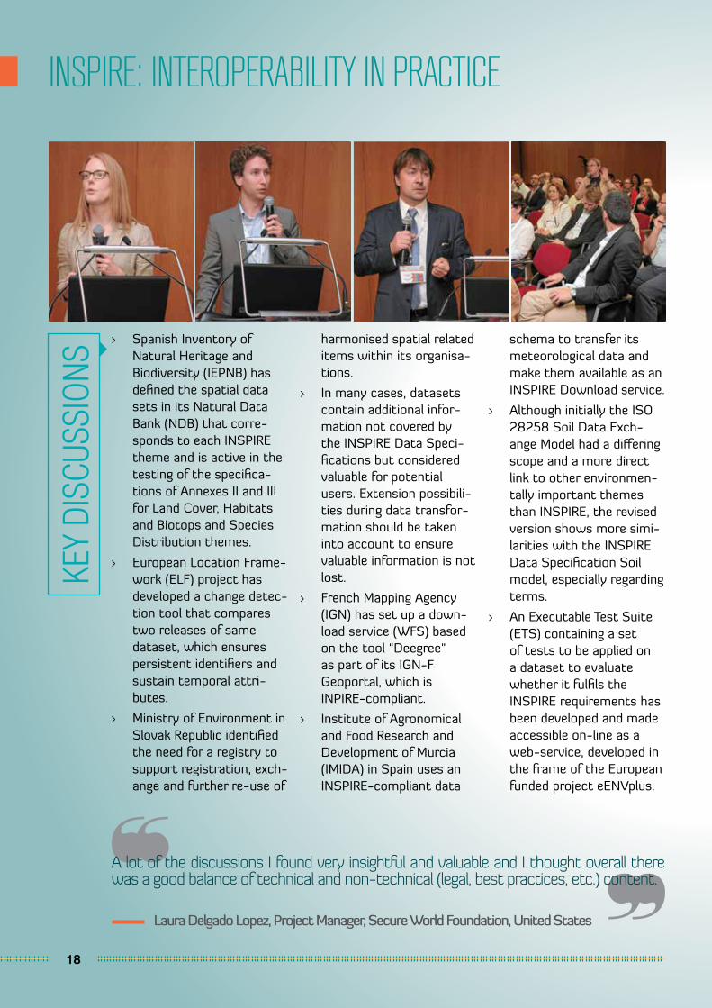
> Spanish Inventory of Natural Heritage and Biodiversity (IEPNB) has defined the spatial data sets in its Natural Data Bank (NDB) that corre-sponds to each INSPIRE theme and is active in the testing of the specifica-tions of Annexes II and III for Land Cover, Habitats and Biotops and Species Distribution themes.
> European Location Frame-work (ELF) project has developed a change detec-tion tool that compares two releases of same dataset, which ensures persistent identifiers and sustain temporal attri-butes.
> Ministry of Environment in Slovak Republic identified the need for a registry to support registration, exch-ange and further re-use of
harmonised spatial related items within its organisa-tions.
> In many cases, datasets contain additional infor-mation not covered by the INSPIRE Data Speci-fications but considered valuable for potential users. Extension possibili-ties during data transfor-mation should be taken into account to ensure valuable information is not lost.
> French Mapping Agency (IGN) has set up a down-load service (WFS) based on the tool “Deegree" as part of its IGN-F Geoportal, which is INPIRE-compliant.
> Institute of Agronomical and Food Research and Development of Murcia (IMIDA) in Spain uses an INSPIRE-compliant data
schema to transfer its meteorological data and make them available as an INSPIRE Download service.
> Although initially the ISO 28258 Soil Data Exch-ange Model had a differing scope and a more direct link to other environmen-tally important themes than INSPIRE, the revised version shows more simi-larities with the INSPIRE Data Specification Soil model, especially regarding terms.
> An Executable Test Suite (ETS) containing a set of tests to be applied on a dataset to evaluate whether it fulfils the INSPIRE requirements has been developed and made accessible on-line as a web-service, developed in the frame of the European funded project eENVplus.
KEY
DISC
USSI
ONS
19
FROM THE INSPIRE ENGINE ROOM
The conference was amazing - very strong opening and plenary sessions and very useful working sessions. Excellent speakers, very impressive!
Rumyana Tonchovska, Senior Land Administration - IT Officer, UN FAO
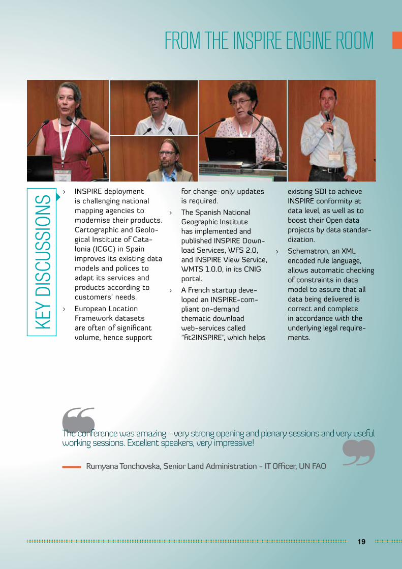
> INSPIRE deployment is challenging national mapping agencies to modernise their products. Cartographic and Geolo-gical Institute of Cata-lonia (ICGC) in Spain improves its existing data models and polices to adapt its services and products according to customers’ needs.
> European Location Framework datasets are often of significant volume, hence support
for change-only updates is required.
> The Spanish National Geographic Institute has implemented and published INSPIRE Down-load Services, WFS 2.0, and INSPIRE View Service, WMTS 1.0.0, in its CNIG portal.
> A French startup deve-loped an INSPIRE-com-pliant on-demand thematic download web-services called "fit2INSPIRE", which helps
existing SDI to achieve INSPIRE conformity at data level, as well as to boost their Open data projects by data standar-dization.
> Schematron, an XML encoded rule language, allows automatic checking of constraints in data model to assure that all data being delivered is correct and complete in accordance with the underlying legal require-ments.
KEY
DISC
USSI
ONS
20
INSPIRE: EUROPEAN SDI SUCCESS STORIES
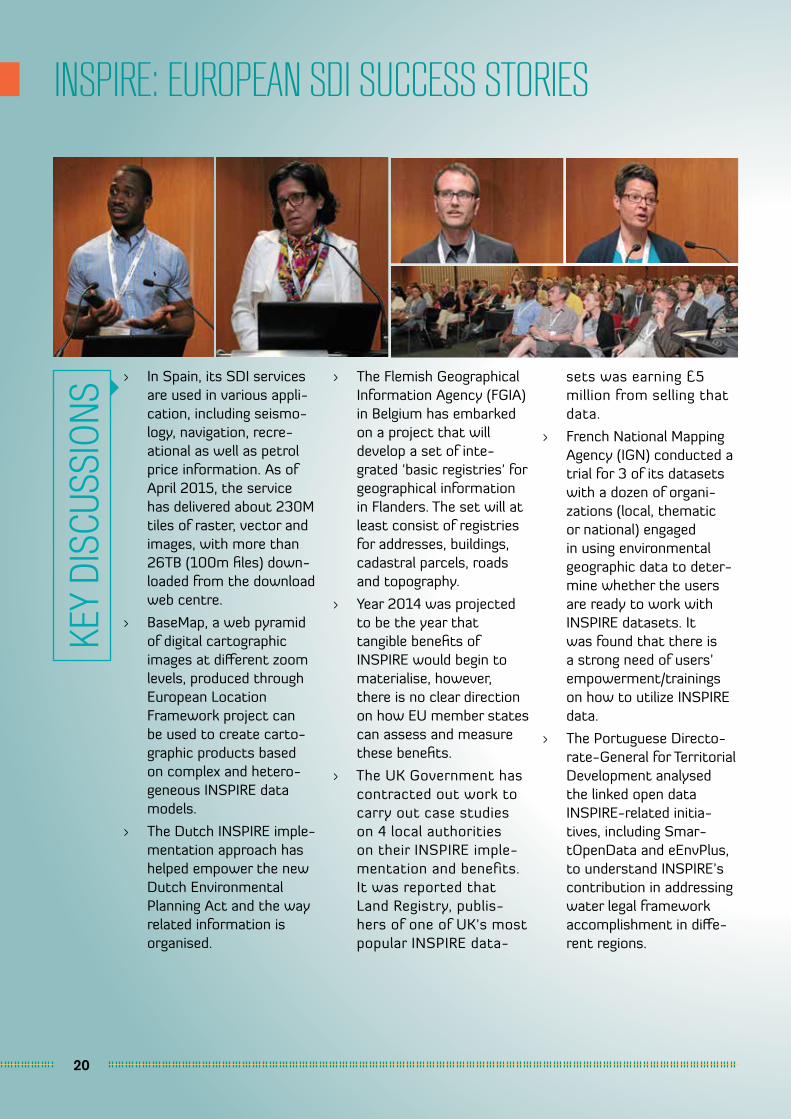
> In Spain, its SDI services are used in various appli-cation, including seismo-logy, navigation, recre-ational as well as petrol price information. As of April 2015, the service has delivered about 230M tiles of raster, vector and images, with more than 26TB (100m files) down-loaded from the download web centre.
> BaseMap, a web pyramid of digital cartographic images at different zoom levels, produced through European Location Framework project can be used to create carto-graphic products based on complex and hetero-geneous INSPIRE data models.
> The Dutch INSPIRE imple-mentation approach has helped empower the new Dutch Environmental Planning Act and the way related information is organised.
> The Flemish Geographical Information Agency (FGIA) in Belgium has embarked on a project that will develop a set of inte-grated 'basic registries' for geographical information in Flanders. The set will at least consist of registries for addresses, buildings, cadastral parcels, roads and topography.
> Year 2014 was projected to be the year that tangible benefits of INSPIRE would begin to materialise, however, there is no clear direction on how EU member states can assess and measure these benefits.
> The UK Government has contracted out work to carry out case studies on 4 local authorities on their INSPIRE imple-mentation and benefits. It was reported that Land Registry, publis-hers of one of UK's most popular INSPIRE data-
sets was earning £5 million from selling that data.
> French National Mapping Agency (IGN) conducted a trial for 3 of its datasets with a dozen of organi-zations (local, thematic or national) engaged in using environmental geographic data to deter-mine whether the users are ready to work with INSPIRE datasets. It was found that there is a strong need of users’ empowerment/trainings on how to utilize INSPIRE data.
> The Portuguese Directo-rate-General for Territorial Development analysed the linked open data INSPIRE-related initia-tives, including Smar-tOpenData and eEnvPlus, to understand INSPIRE’s contribution in addressing water legal framework accomplishment in diffe-rent regions.
KEY
DISC
USSI
ONS

USER SEGMENTS

22
GEOHYDRO
It was excellently run and I thought the sessions worked very well. I look forward to attending your event again.
Lorraine McNerney General Manager for Geospatial Systems, Ordnance Survey Ireland
> The contents and the amount of data for Water Framework Directive (WFD) and Flood Risks Directive (FRD) are bigger than the data specifica-tion required by INSPIRE. Hence, some attributes for INSPIRE were added in the central data-base with one data pool created for all reporting, INSPIRE included.
> Collaboration with organizations in charge of the management of utility networks data, i.e. Water Supply network and Sewerage network, will make it possible to enhance the use of INSPIRE princi-ples for daily manage-
ment of utility networks data.
> Availability of utility networks datathrough Open Linked Data Scena-rios will provide deci-sion makers with the necessary tools to plan maintenance tasks more efficiently.
> Flood risk monitoring can be carried out by linking sensor data (from reser-voir levels, storm drains, etc.), weather forecast predictions and map of risk zones from a GIS.
> The Flemish Environ-mental Agency (VMM) in Belgium created a new exchange model based on INSPIRE data speci-
ficationsin collaboration with the sewage sector to enable all stakeholders to deliver sewage data in a uniform way.
> Flemish Information Site regarding Cables and Conduits (KLIP), a system for exchange of plans for excavation works in Flan-ders, will be made digital in 2016.
> PLUS Expressways, the largest highway operator in Malaysia, combines Interferometric Synthetic Aperture Radar (IFSAR) and rainfall data in a geospatial analysis to create an early warning system for slope failure alongside its highways.
KEY
DISC
USSI
ONS
23
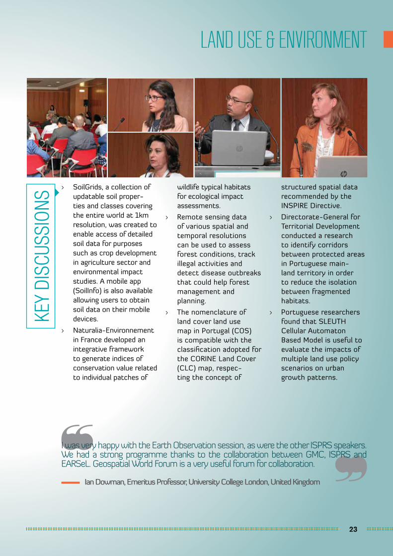
LAND USE & ENVIRONMENT
I was very happy with the Earth Observation session, as were the other ISPRS speakers. We had a strong programme thanks to the collaboration between GMC, ISPRS and EARSeL. Geospatial World Forum is a very useful forum for collaboration.
Ian Dowman, Emeritus Professor, University College London, United Kingdom
> SoilGrids, a collection of updatable soil proper-ties and classes covering the entire world at 1km resolution, was created to enable access of detailed soil data for purposes such as crop development in agriculture sector and environmental impact studies. A mobile app (SoilInfo) is also available allowing users to obtain soil data on their mobile devices.
> Naturalia-Environnement in France developed an integrative framework to generate indices of conservation value related to individual patches of
wildlife typical habitats for ecological impact assessments.
> Remote sensing data of various spatial and temporal resolutions can be used to assess forest conditions, track illegal activities and detect disease outbreaks that could help forest management and planning.
> The nomenclature of land cover land use map in Portugal (COS) is compatible with the classification adopted for the CORINE Land Cover (CLC) map, respec-ting the concept of
structured spatial data recommended by the INSPIRE Directive.
> Directorate-General for Territorial Development conducted a research to identify corridors between protected areas in Portuguese main-land territory in order to reduce the isolation between fragmented habitats.
> Portuguese researchers found that SLEUTH Cellular Automaton Based Model is useful to evaluate the impacts of multiple land use policy scenarios on urban growth patterns.
KEY
DISC
USSI
ONS
24
URBAN RESILIENCE & SUSTAINABILITY
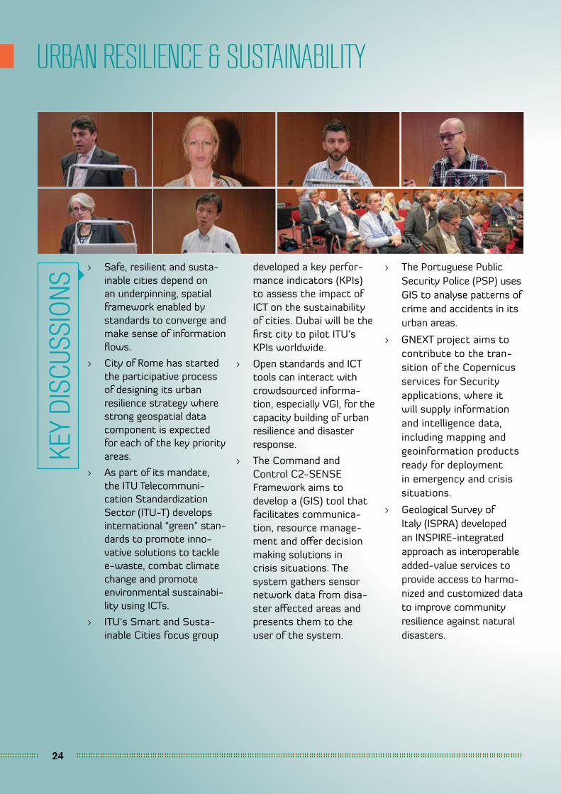
> Safe, resilient and susta-inable cities depend on an underpinning, spatial framework enabled by standards to converge and make sense of information flows.
> City of Rome has started the participative process of designing its urban resilience strategy where strong geospatial data component is expected for each of the key priority areas.
> As part of its mandate, the ITU Telecommuni-cation Standardization Sector (ITU-T) develops international “green” stan-dards to promote inno-vative solutions to tackle e-waste, combat climate change and promote environmental sustainabi-lity using ICTs.
> ITU’s Smart and Susta-inable Cities focus group
developed a key perfor-mance indicators (KPIs) to assess the impact of ICT on the sustainability of cities. Dubai will be the first city to pilot ITU’s KPIs worldwide.
> Open standards and ICT tools can interact with crowdsourced informa-tion, especially VGI, for the capacity building of urban resilience and disaster response.
> The Command and Control C2-SENSE Framework aims to develop a (GIS) tool that facilitates communica-tion, resource manage-ment and offer decision making solutions in crisis situations. The system gathers sensor network data from disa-ster affected areas and presents them to the user of the system.
> The Portuguese Public Security Police (PSP) uses GIS to analyse patterns of crime and accidents in its urban areas.
> GNEXT project aims to contribute to the tran-sition of the Copernicus services for Security applications, where it will supply information and intelligence data, including mapping and geoinformation products ready for deployment in emergency and crisis situations.
> Geological Survey of Italy (ISPRA) developed an INSPIRE-integrated approach as interoperable added-value services to provide access to harmo-nized and customized data to improve community resilience against natural disasters.
KEY
DISC
USSI
ONS

25
GEOBIM
> In line with the emerging trends of 3D technology in cadastre, terrain and city modelling, OGC has developed new standards related to semantic 3D technology, i.e. CityGML, IndoorGML, InfraGML, and KML (Google Earth format), 3D services in collaboration with web3D (webGL, X3D)
> It is importance to treat digital model and physical building equally. Whilst the building becomes the end product, the digital model and the data it possesses could be used by professi-onals in excess of the next 150 years for O&M and FM purposes.
> The Standard Assess-ment Procedure (SAP) is the methodology used by Government to assess and compare the energy and environmental performance of dwellings, making use of information from aerial and terrestrial
imagery and published databases.
> Teesside University and its associated partners has created models as deci-sion support tools that can be used to develop policies for, or assess the adoption of, BIM and GIS at country level.
> The UK government initi-ated BIM Toolkit project to define, manage and validate responsibility for information development and delivery of its level 2 BIM projects.
> The future collabora-tive BIM team will plan, design and deliver a project with all teams looking at a single shared 3D version of the truth which is fully coordi-nated and updated as the project progresses.
> University of Brescia in Italy used BIM to create safety visualization on a large construction site, logistical update of
roads in the construction site and the compliance control between projects and safety regulations for health and safety manage-ment of employees.
> Korea Institute of Construction Technology proposed a BIM-based data mining system framework to simulate energy usage in buildings as a decision support tool.
> The current building production process in Cape Town needs to be modernised with innova-tive technologies, inclu-ding GeoBIM, especially to manage its confined space and congested access.
> The European research project DURAARK aims to generate and main-tain semantically rich BIM models from incomplete datasets using concepts from linked data and computation from an overlay and linkage of existing architectural data.
KEY
DISC
USSI
ONS
26
GEOAGRI
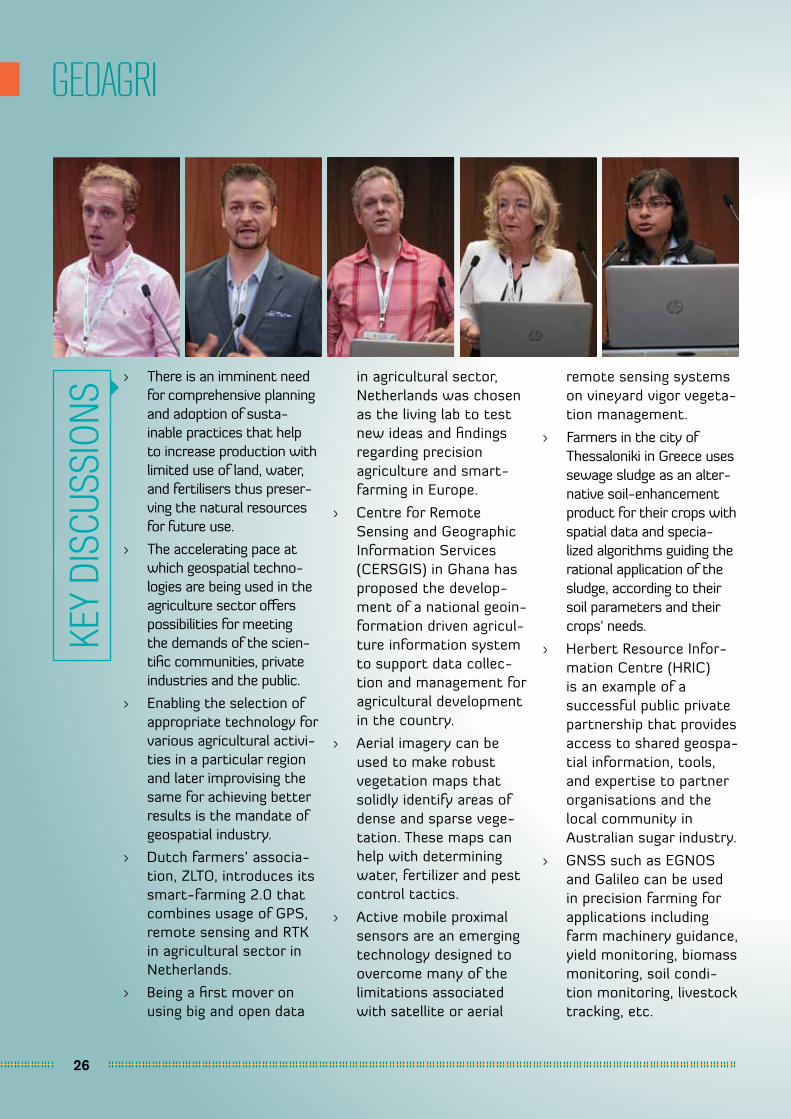
> There is an imminent need for comprehensive planning and adoption of susta-inable practices that help to increase production with limited use of land, water, and fertilisers thus preser-ving the natural resources for future use.
> The accelerating pace at which geospatial techno-logies are being used in the agriculture sector offers possibilities for meeting the demands of the scien-tific communities, private industries and the public.
> Enabling the selection of appropriate technology for various agricultural activi-ties in a particular region and later improvising the same for achieving better results is the mandate of geospatial industry.
> Dutch farmers’ associa-tion, ZLTO, introduces its smart-farming 2.0 that combines usage of GPS, remote sensing and RTK in agricultural sector in Netherlands.
> Being a first mover on using big and open data
in agricultural sector, Netherlands was chosen as the living lab to test new ideas and findings regarding precision agriculture and smart-farming in Europe.
> Centre for Remote Sensing and Geographic Information Services (CERSGIS) in Ghana has proposed the develop-ment of a national geoin-formation driven agricul-ture information system to support data collec-tion and management for agricultural development in the country.
> Aerial imagery can be used to make robust vegetation maps that solidly identify areas of dense and sparse vege-tation. These maps can help with determining water, fertilizer and pest control tactics.
> Active mobile proximal sensors are an emerging technology designed to overcome many of the limitations associated with satellite or aerial
remote sensing systems on vineyard vigor vegeta-tion management.
> Farmers in the city of Thessaloniki in Greece uses sewage sludge as an alter-native soil-enhancement product for their crops with spatial data and specia-lized algorithms guiding the rational application of the sludge, according to their soil parameters and their crops' needs.
> Herbert Resource Infor-mation Centre (HRIC) is an example of a successful public private partnership that provides access to shared geospa-tial information, tools, and expertise to partner organisations and the local community in Australian sugar industry.
> GNSS such as EGNOS and Galileo can be used in precision farming for applications including farm machinery guidance, yield monitoring, biomass monitoring, soil condi-tion monitoring, livestock tracking, etc.
KEY
DISC
USSI
ONS

27
MINING & ENERGY
I thought the conference was very well organized, well put together and thoroughly enjoyable.
Doug Specht, Director, VOZ Geographic Information Systems, United Kingdom
> Flanders Spatial Deve-lopment Department in Belgium developed a GIS tool which can geographically calcu-late the best areas for development of energy landscapes where big scale renewable energy production can find its place.
> University of Stuttgart conducted a research to analyse renewable energy potential in Gauteng, South Africa using GIS tools, which can help policy makers in policy creation, and developers and planners to integrate renewable energy solu-tions in new settlements.
> Integrating production and operations data with 3D data will add a lot of
value to the data for the entire mining lifecycle.
> Information from super spectral imagery ranging from visible to SWIR bands can be used to enable in-time critical decision making on the ground in mineral explo-ration, mine operations and reclamation, and other aspects of mining.
> The Minerals4EU project, which will finish in September 2015, is designed to meet the recommendations of the Raw Materials Initia-tive and will develop an EU Mineral intelligence network structure deli-vering a web portal, a European Minerals Yearbook and foresight studies.
> SIORMINP is the Portu-guese mineral occur-rences and resources information system that contains information such as categorization of mineral potential, past concessions, commo-dities reserves and resources, and exploita-tion activity.
> Information from earth observation provides a component to be integrated or updated in minerals resources systems, such as the aerial extent of deposits and waste materials or their geochemical and mineralogical characte-rization depending on the sensors spatial and spectral resolution available.
KEY
DISC
USSI
ONS
28
GEOHEALTH
I enjoyed the GeoHealth programme very much, because I did learn a few things and got in touch with other colleagues. The entire conference in general was really well organized.
Luis Serra, Senior Officer, Directorate-General of Health, Portugal
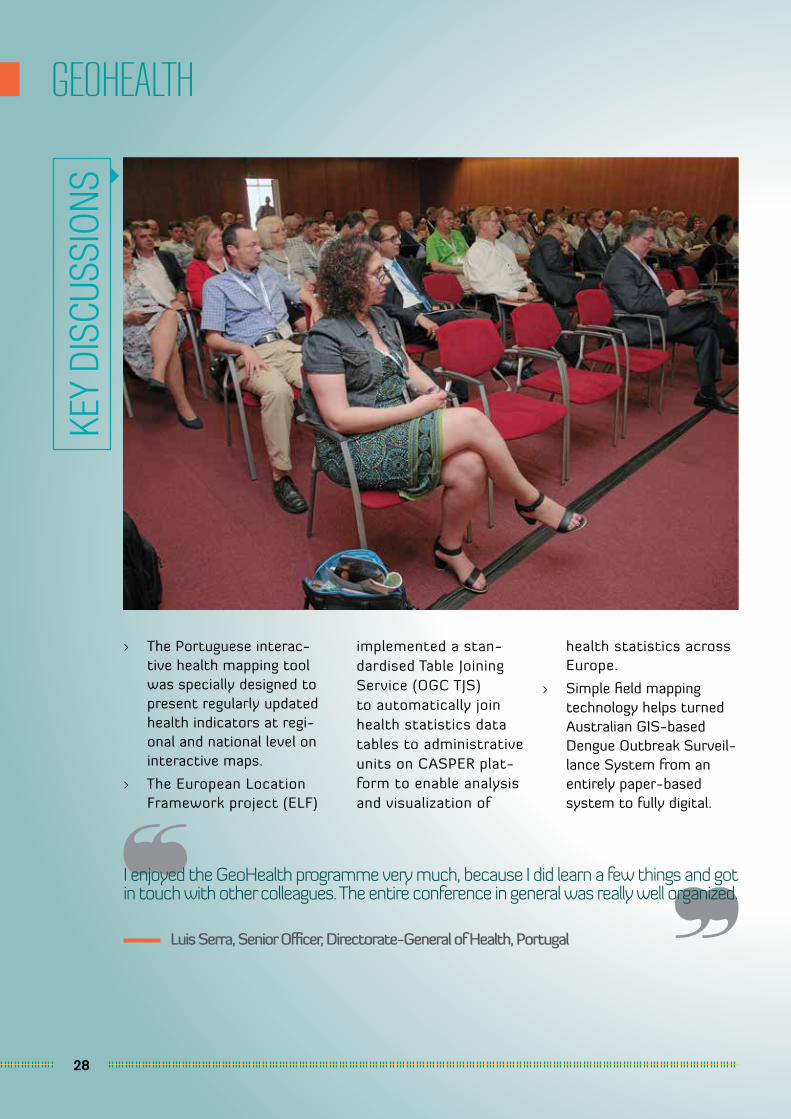
> The Portuguese interac-tive health mapping tool was specially designed to present regularly updated health indicators at regi-onal and national level on interactive maps.
> The European Location Framework project (ELF)
implemented a stan-dardised Table Joining Service (OGC TJS) to automatically join health statistics data tables to administrative units on CASPER plat-form to enable analysis and visualization of
health statistics across Europe.
> Simple field mapping technology helps turned Australian GIS-based Dengue Outbreak Surveil-lance System from an entirely paper-based system to fully digital.
KEY
DISC
USSI
ONS
29
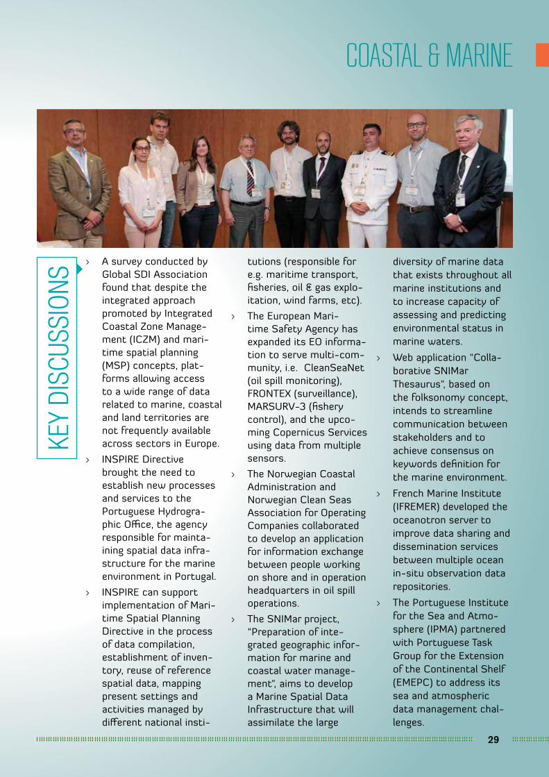
COASTAL & MARINE
> A survey conducted by Global SDI Association found that despite the integrated approach promoted by Integrated Coastal Zone Manage-ment (ICZM) and mari-time spatial planning (MSP) concepts, plat-forms allowing access to a wide range of data related to marine, coastal and land territories are not frequently available across sectors in Europe.
> INSPIRE Directive brought the need to establish new processes and services to the Portuguese Hydrogra-phic Office, the agency responsible for mainta-ining spatial data infra-structure for the marine environment in Portugal.
> INSPIRE can support implementation of Mari-time Spatial Planning Directive in the process of data compilation, establishment of inven-tory, reuse of reference spatial data, mapping present settings and activities managed by different national insti-
tutions (responsible for e.g. maritime transport, fisheries, oil & gas explo-itation, wind farms, etc).
> The European Mari-time Safety Agency has expanded its EO informa-tion to serve multi-com-munity, i.e. CleanSeaNet (oil spill monitoring), FRONTEX (surveillance), MARSURV-3 (fishery control), and the upco-ming Copernicus Services using data from multiple sensors.
> The Norwegian Coastal Administration and Norwegian Clean Seas Association for Operating Companies collaborated to develop an application for information exchange between people working on shore and in operation headquarters in oil spill operations.
> The SNIMar project, “Preparation of inte-grated geographic infor-mation for marine and coastal water manage-ment", aims to develop a Marine Spatial Data Infrastructure that will assimilate the large
diversity of marine data that exists throughout all marine institutions and to increase capacity of assessing and predicting environmental status in marine waters.
> Web application "Colla-borative SNIMar Thesaurus", based on the folksonomy concept, intends to streamline communication between stakeholders and to achieve consensus on keywords definition for the marine environment.
> French Marine Institute (IFREMER) developed the oceanotron server to improve data sharing and dissemination services between multiple ocean in-situ observation data repositories.
> The Portuguese Institute for the Sea and Atmo-sphere (IPMA) partnered with Portuguese Task Group for the Extension of the Continental Shelf (EMEPC) to address its sea and atmospheric data management chal-lenges.
KEY
DISC
USSI
ONS
30
TRANSPORTATION & NAVIGATION
In general, I think it was a good joint organization between GWF and INSPIRE providing excellent networking opportunity.
Giacomo Martirano, Engineer, Epsilon Italia, Italy
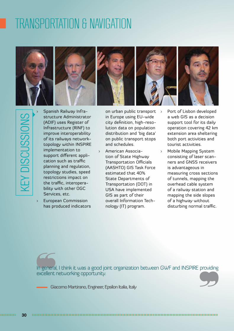
> Spanish Railway Infra-structure Administrator (ADIF) uses Register of Infrastructure (RINF) to improve interoperability of its railways network-topology within INSPIRE implementation to support different appli-cation such as traffic planning and regulation, topology studies, speed restrictions impact on the traffic, interopera-bility with other OGC Services, etc.
> European Commission has produced indicators
on urban public transport in Europe using EU-wide city definition, high-reso-lution data on population distribution and 'big data' on public transport stops and schedules.
> American Associa-tion of State Highway Transportation Officials (AASHTO) GIS Task Force estimated that 40% State Departments of Transportation (DOT) in USA have implemented GIS as part of their overall Information Tech-nology (IT) program.
> Port of Lisbon developed a web GIS as a decision support tool for its daily operation covering 42 km extension area sheltering both port activities and tourist activities.
> Mobile Mapping System consisting of laser scan-ners and GNSS receivers is advantageous in measuring cross sections of tunnels, mapping the overhead cable system of a railway station and mapping the side slopes of a highway without disturbing normal traffic.
KEY
DISC
USSI
ONS
31
GEOSTATISTICS
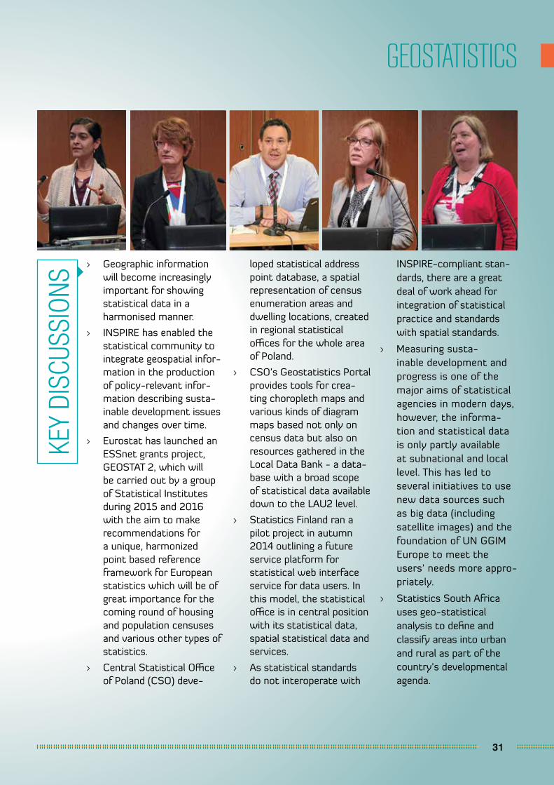
> Geographic information will become increasingly important for showing statistical data in a harmonised manner.
> INSPIRE has enabled the statistical community to integrate geospatial infor-mation in the production of policy-relevant infor-mation describing susta-inable development issues and changes over time.
> Eurostat has launched an ESSnet grants project, GEOSTAT 2, which will be carried out by a group of Statistical Institutes during 2015 and 2016 with the aim to make recommendations for a unique, harmonized point based reference framework for European statistics which will be of great importance for the coming round of housing and population censuses and various other types of statistics.
> Central Statistical Office of Poland (CSO) deve-
loped statistical address point database, a spatial representation of census enumeration areas and dwelling locations, created in regional statistical offices for the whole area of Poland.
> CSO’s Geostatistics Portal provides tools for crea-ting choropleth maps and various kinds of diagram maps based not only on census data but also on resources gathered in the Local Data Bank - a data-base with a broad scope of statistical data available down to the LAU2 level.
> Statistics Finland ran a pilot project in autumn 2014 outlining a future service platform for statistical web interface service for data users. In this model, the statistical office is in central position with its statistical data, spatial statistical data and services.
> As statistical standards do not interoperate with
INSPIRE-compliant stan-dards, there are a great deal of work ahead for integration of statistical practice and standards with spatial standards.
> Measuring susta-inable development and progress is one of the major aims of statistical agencies in modern days, however, the informa-tion and statistical data is only partly available at subnational and local level. This has led to several initiatives to use new data sources such as big data (including satellite images) and the foundation of UN GGIM Europe to meet the users’ needs more appro-priately.
> Statistics South Africa uses geo-statistical analysis to define and classify areas into urban and rural as part of the country’s developmental agenda.
KEY
DISC
USSI
ONS
GEOSPATIAL PRACTICES DRIVING POLICIESPL
ENAR
Y 4
POLICY AND TECHNOLOGY PROGRAMMES
POLICY AND TECHNOLOGY PROGRAMMES
34
SPATIAL DATA INFRASTRUCTURE
> A Geoportal should be built with ‘human-ori-ented’ component to understand users’ interest and meet their needs
> The Government of Czech Republic intro-duced GeoInfo Strategy in 2012, a strategy for the development of Nati-onal Infrastructure for Spatial Information in the country based on INSPIRE Geoportal concept. The Strategy was approved in 2014 and action plan is being drafted up to 30 June 2015.
> INSPIRE provides useful tools (legal, coordina-tion etc) to invoke and underpin an NSDI deve-lopmentbut it is not a one-way linear develop-ment. Although policies, practices and processes can converge and support each other, it will be a long term challengerequiring attention and a coor-dinated cooperation of national and international stakeholders.
> Dutch Government uses a public service geoportal called PDOK to support
it‘s Digital Framework for Environment in connec-tion to the country’s new Environmental Planning Act 2018 – an example of best practice of converging policies, prac-tices and processes.
> French government is trying to integrate 65 sub-national SDIs in the country to bring greater visibility to institutional geographical information through an observatory approach.
> Through World Bank funding, Republic of Kosovo is developing a strategy for NSDI (February 2014 – June 2015) to transform the way geospatial data is shared within Kosovo with high priority given on the integration with Euro-pean Directives including INSPIRE.
> Portuguese Government is undertaking a complete evaluation process of its current SDI this yearto define the next steps in the Strategy SNIG 2020 towards one consolidated SDI in Portugal.
> SDI in transportation for municipalities could improve transport-re-lated e-Government processes and information through seamless infor-mation integration. The continuous information integration and mutual policy arrangements could also help in integrating municipal traffic manage-
ment strategies into ITS services.
> An SDI can be used to observe and monitor the dynamics of a territory by integrating data and indicators of sustainabi-lity: environmental, social and economic. It also helpscitizen and admi-nistrations in climate change adaptation and civil protection since it integrates dynamic meteorological data providing risk information of extreme events.
> SDI for health informa-tion, snow avalanche warning services, spatial web services availability and flood risk and impacts were discussed.
> European Location Framework platforms for accessing INSPIRE based reference data and its licensing aspects were also discussed.
> French Ministry of Environment is working on developing a single point SDI to host 1000+ environmental file-based data sets currently stored in different servers.
> Ireland is developing an integrated NSDI platform called GeoHive, which is an extended version of its earlier INSPIRE portal, Geoportal.
> Service Oriented Architecture (SOA) is highly needed ingover-ning SDI maintenance for modern map production.
KEY
DISC
USSI
ONS

35
STANDARDS & INTEROPERABILITY
Well organized show with relevant and cohesive streams that were very well attended.
Robert Jastram Vice President of Sales Luciad, Belgium
> UML and GML application schemas are integral part of INSPIRE data specifi-cations. It is important to measure application schemas complexity to ensure interoperable data exchange.
> INSPIRE Building model should include both topo-graphic and cadastral data, which involved a variety of databases with different scales and data layers. A proper standard and conver-sion process are required to provide complete building data service.
> There is a need for joint cross-standards. Some best practices example: W3C R2RML for producing OGC GeoSPARQL, W3C PROV for producing ISO 19115 lineage metadata and IETF new headers and W3C best practices for OWS.
> The ISO19115-3 plugin is now supported in GeoNetwork 3+ and supports all features supported by ISO19139(-search, view, edit, multi-lingual, validation).
> German Federal Agency for Cartography and Geodesy
developed a Python script to convert ISO 19139 (AP ISO) to Govdatajson based on mapping table to connect SDI to an open data portal.
> European Environment Agency (EEA), under the Copernicus program umbrella, is working on a system called COpernicus Reference Data Access (CORDA). The system aims to provide national reference data through a single access interface.
> ELF/INSPIRE standard-needs to besimplified to beusedin geo-processing.
KEY
DISC
USSI
ONS
36
GEOSPATIAL POLICIES
For me the conference was an excellent opportunity to exchange information and expe-rience with international colleagues and it was well and nicely organized.
Tomaz Petek, Deputy General Manager, Surveying and Mapping Authority, Slovenia
> Location context should be used more often to form a robust evidence basis in policy-making process. A solid consistent base of geospatial data should also be available as supporting data.
> In majority of cases, licences and charges of geospatial data are not available on the web. Standardised licences and harmonising types of conditions can improve geospatial data usage.
> Africa Europe Spatial Infrastructure (AESI) Align was established to iden-tify suitable framework to alignSDI in Europe and Africa based on INSPIRE framework. INSPIRE will provide the lessonsneeded to sustainably imple-mentSDI in Africa.
> In the next decade; stan-dards, transparency, confi-dentiality, harmonization
should be the key targets of geospatial policies.
> Government of Canada developed a tool called Federal Geospatial Plat-form (FGP) to enable integration oflocation into its public policy through client engagement.
> INSPIRE played an important role in opening up data access and coor-dination in Europe by enforcing legal changes in data sharing specification.
> Spatial Data Infrastructure Act should meet user requirements and the needs of regional population.
> There are significant legal and policy challenges emerging related to geospa-tial information, including licensing, pricing, liability, security, and open data
> Proposal for a Directive on the dissemination of Earth observation satellite data
for commercial purposes (COM(2014) 344 final) in EU is currently under review by Parliament and Council Space Working Party, expected to be implemented in 2015
> There is a need to develop a simplified and standar-dized procedure in licen-sing public geospatial data
> At the moment there is no global approach or instrument addressing personal data protection in relation to geospatial data and services, resul-ting in a high degree of uncertainty for industry whether or not data protection laws apply and how they should be observed.
> United States is currently reviewing its Commercial Remote Sensing Policy and NOAA Commercial Data Policy, both expected to be implemented in 2015
KEY
DISC
USSI
ONS
37
DIGITAL SINGLE MARKET
It was a great oppor-tunity for me to learn and get involved with experts in these areas and to give my contribution to the discussions of some issues during the week of the event.
Rear Admiral Carlos Rodolfo (Ret.), Regional Vice President, AFCEA International s Atlantic Region, Portugal
> A digital single market can create up to EUR415 billion in additional growth, hundreds of thousands of new jobs, and a vibrant knowled-ge-based society.
> Recent policy evaluations of the PSI Directive and the Infrastructure for Spatial Information in the EU (INSPIRE) Directive demonstrate the need for public authorities to improve the sharing and re-use of their data.
> The digital market today in EU (28 MS) is made up by 42% of national online services while the EU cross border online services represent only 4%. In USA the online service is 54%.
> Digital Single Market gives better access for consu-mers and businesses , advanced digital networks and innovative services and enhances the digital economy.
> The scale provided by a completed Digital Single
Market will help compa-nies to grow beyond the EU internal market and make the EU an even more attractive location for global companies.
> An ambitious digital trade and investment policy should be further deve-loped including by means of the EU’s free trade agreements.
> European Interoperability Framework, as State of Play of Interoperability in EU, is well accepted by the MS (72%) but still some way to go to have it implemented.
> The ISA2 (Interoperability Solutions for Public Admi-nistrations) programme (2016-2020) shall facili-tate efficient and effective electronic cross-border or cross-sector interac-tion between European public administrations and between them and citi-zens and businesses.
> Location information is essential in integrating infrastructure for the
Digital Single Market.
> Digital Single Market is not only a matter of price, but also of reliabi-lity, speed of delivery and consumer choice.
> INSPIRE and ISA are necessary framework deliverers but more need to be done together with the private sector & the consumers.
KEY
DISC
USSI
ONS

38
REGIONAL AND INTERNATIONAL DEVELOPMENT
I think the programme was structured well and that the various presentations fitted nicely together and were presented in just the right order.
Marie Haldorson, Director, Statistics Sweden
> Cross Border Cooperation Operational Program of Spain-Portugal has co-fi-nanced OTALEXC project – an environmental moni-toring system connecting 3 regions, Extremadura in Spain, and Alentejo and Centro, in Portugal. The system is currently moving towards integra-tion of new technologies related to geo-linked data and sensors.
> International boundary measurement requires stable coordinate trans-formations with sufficient
accuracy. ETRS coordinates should be primary definition of international borders.
> Although INSPIRE process is well managed within countries, the cross-border coordination is rather limited. There is a need for better collaboration between EC and national/regional stakeholders to support provision of reliable information at regional level.
> Five countries have already signed the African Union Convention on Cross-Border Coopera-tion (Niamey Convention).
The African Union Boun-dary Information System (AUBIS) has developed a comprehensive set of tools that provide refe-rence information about borders in Africa.
> Danube Reference Data and Service Infrastructure (DRDSI) provides a common entry point for data, projects, applica-tions, training materials, experts, and users’ feed-back, which facilitates coordination and cross-border collaboration among Danube countries.
KEY
DISC
USSI
ONS
39
GEOCAPACITY
The conference was really well organized and alive. I liked the setup having a good choice in sessions and plenary meetings. I met a lot of colleagues that I had not seen for a while. So, keep up the good work. I will certainly join Geospatial World Forum 2016 in Rotterdam.
Michel Grothe, Consultant, Geonovum, Netherland
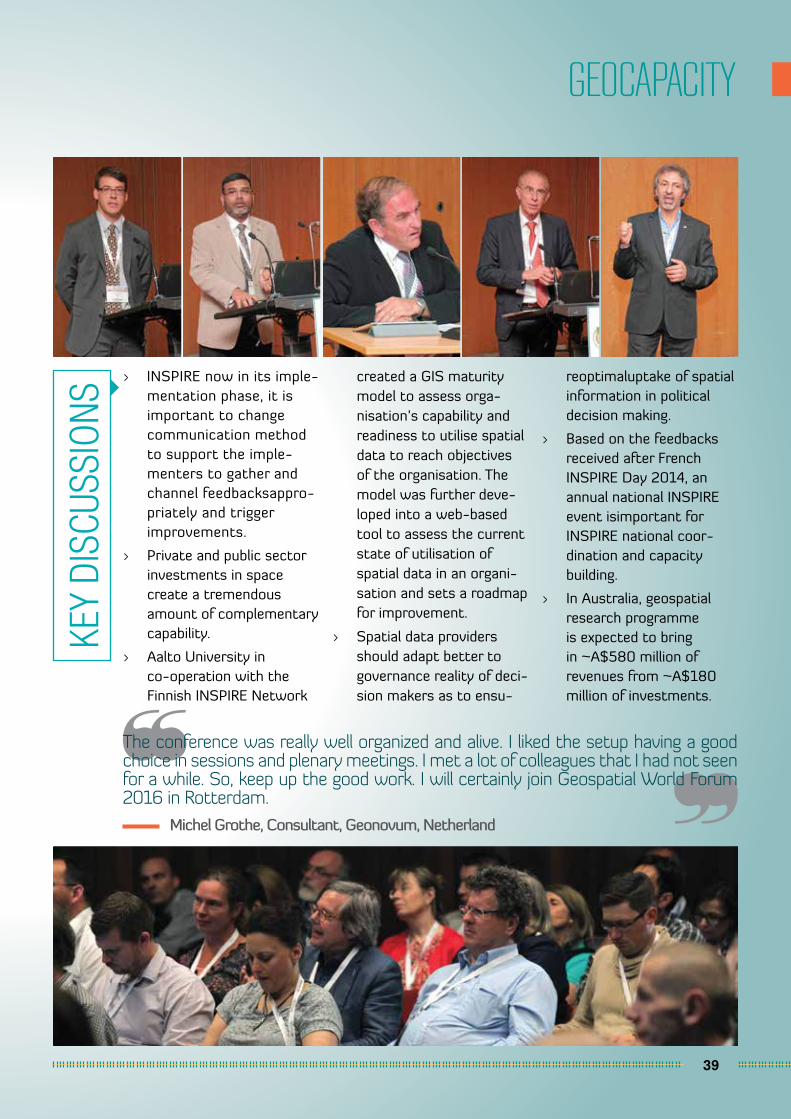
> INSPIRE now in its imple-mentation phase, it is important to change communication method to support the imple-menters to gather and channel feedbacksappro-priately and trigger improvements.
> Private and public sector investments in space create a tremendous amount of complementary capability.
> Aalto University in co-operation with the Finnish INSPIRE Network
created a GIS maturity model to assess orga-nisation’s capability and readiness to utilise spatial data to reach objectives of the organisation. The model was further deve-loped into a web-based tool to assess the current state of utilisation of spatial data in an organi-sation and sets a roadmap for improvement.
> Spatial data providers should adapt better to governance reality of deci-sion makers as to ensu-
reoptimaluptake of spatial information in political decision making.
> Based on the feedbacks received after French INSPIRE Day 2014, an annual national INSPIRE event isimportant for INSPIRE national coor-dination and capacity building.
> In Australia, geospatial research programme is expected to bring in ~A$580 million of revenues from ~A$180 million of investments.
KEY
DISC
USSI
ONS
40
VGI/CROWDSOURCING
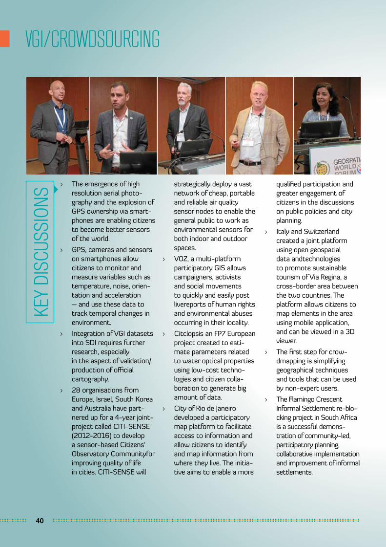
> The emergence of high resolution aerial photo-graphy and the explosion of GPS ownership via smart-phones are enabling citizens to become better sensors of the world.
> GPS, cameras and sensors on smartphones allow citizens to monitor and measure variables such as temperature, noise, orien-tation and acceleration – and use these data to track temporal changes in environment.
> Integration of VGI datasets into SDI requires further research, especially in the aspect of validation/production of official cartography.
> 28 organisations from Europe, Israel, South Korea and Australia have part-nered up for a 4-year joint-project called CITI-SENSE (2012-2016) to develop a sensor-based Citizens‘ Observatory Communityfor improving quality of life in cities. CITI-SENSE will
strategically deploy a vast network of cheap, portable and reliable air quality sensor nodes to enable the general public to work as environmental sensors for both indoor and outdoor spaces.
> VOZ, a multi-platform participatory GIS allows campaigners, activists and social movements to quickly and easily post livereports of human rights and environmental abuses occurring in their locality.
> Citclopsis an FP7 European project created to esti-mate parameters related to water optical properties using low-cost techno-logies and citizen colla-boration to generate big amount of data.
> City of Rio de Janeiro developed a participatory map platform to facilitate access to information and allow citizens to identify and map information from where they live. The initia-tive aims to enable a more
qualified participation and greater engagement of citizens in the discussions on public policies and city planning.
> Italy and Switzerland created a joint platform using open geospatial data andtechnologies to promote sustainable tourism of Via Regina, a cross-border area between the two countries. The platform allows citizens to map elements in the area using mobile application, and can be viewed in a 3D viewer.
> The first step for crow-dmapping is simplifying geographical techniques and tools that can be used by non-expert users.
> The Flamingo Crescent Informal Settlement re-blo-cking project in South Africa is a successful demons-tration of community-led, participatory planning, collaborative implementation and improvement of informal settlements.
KEY
DISC
USSI
ONS
41
DATA MANAGEMENT
We found the conference and exhibition to be very well organized and beneficial to our profes-sional and business development objectives. The world was truly present at this conference and we were able to network with people from many different nations. For sure, we will be exhibiting and attending the Geospatial World Forum every year from now on.
Robert E. Zee, Director, Space Flight Laboratory, Canada
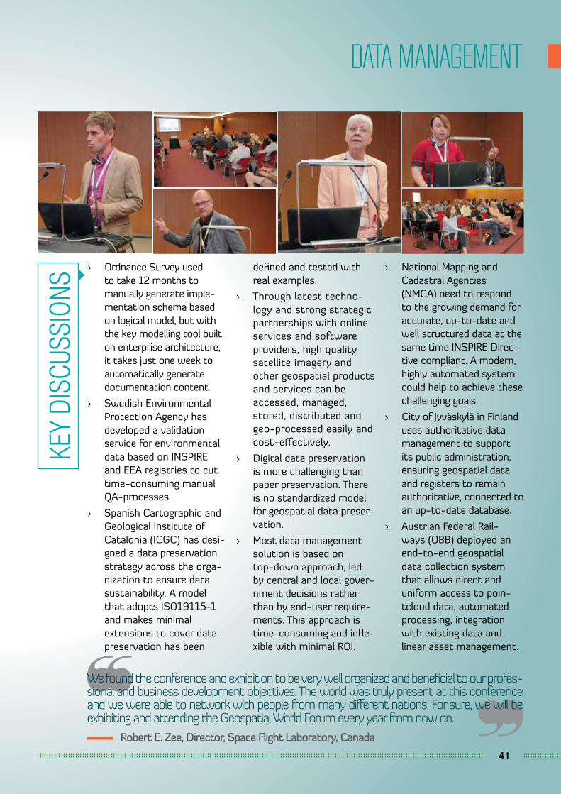
> Ordnance Survey used to take 12 months to manually generate imple-mentation schema based on logical model, but with the key modelling tool built on enterprise architecture, it takes just one week to automatically generate documentation content.
> Swedish Environmental Protection Agency has developed a validation service for environmental data based on INSPIRE and EEA registries to cut time-consuming manual QA-processes.
> Spanish Cartographic and Geological Institute of Catalonia (ICGC) has desi-gned a data preservation strategy across the orga-nization to ensure data sustainability. A model that adopts ISO19115-1 and makes minimal extensions to cover data preservation has been
defined and tested with real examples.
> Through latest techno-logy and strong strategic partnerships with online services and software providers, high quality satellite imagery and other geospatial products and services can be accessed, managed, stored, distributed and geo-processed easily and cost-effectively.
> Digital data preservation is more challenging than paper preservation. There is no standardized model for geospatial data preser-vation.
> Most data management solution is based on top-down approach, led by central and local gover-nment decisions rather than by end-user require-ments. This approach is time-consuming and infle-xible with minimal ROI.
> National Mapping and Cadastral Agencies (NMCA) need to respond to the growing demand for accurate, up-to-date and well structured data at the same time INSPIRE Direc-tive compliant. A modern, highly automated system could help to achieve these challenging goals.
> City of Jyväskylä in Finland uses authoritative data management to support its public administration, ensuring geospatial data and registers to remain authoritative, connected to an up-to-date database.
> Austrian Federal Rail-ways (OBB) deployed an end-to-end geospatial data collection system that allows direct and uniform access to poin-tcloud data, automated processing, integration with existing data and linear asset management.
KEY
DISC
USSI
ONS
42
GEOGOVERNANCE
Conference was well orga-nized. Sessions within the exhibition hall were a nice idea to attract people and provide good networking conditions.
Christian Ansorge, Project Manager - SEIS and INSPIRE implementation, European Environment Agency, Denmark
> In Poland, there is a clear demand for digital public services providing spatial data and analysis functionality. Access to Geoportal’s services has been ensured in law acts regulating other areas of the state like: emergency notifications, Police, fire protection, Emergency Medical Services, health protection system.
> INSPIRE is a very good framework and provides
the best practices for the creation of e-Govern-ment digital spatial public services.
> In 2012 the Danish gover-nment agreed with the local governments to do an address program (2013-2017) to create a basis for an efficient and consistent reuse of basic data on addresses, place names and administrative units.
> In Catalonia, Municipali-ties, supramunicipal bodies and ICGC are starting to apply BDMAC (Municipal Database of Addresses of Catalonia) specification for generating the official data sets.
> The Catalonian authorities believe that the definition of a commonspecificati-onwith the participation of the data providers that specify criteria for data collection at a minimum agreed quality level ensures greater homogeneity of the
data, facilitating its inte-gration and exploitation as a whole. It also allows the development of validation and transformation web services to be used by the community of users, with the consequent saving of resources.
> The municipality of Espoo, Finland uses acombination of solution tools for local government which are a productized set of modular software applications and services for managing built environment data and carrying out planning and building process tasks from land use, planning to building supervision, asset manage-ment and customer service. It helps to deliver the high quality services in growing city.
> City of Copenhagen is follo-wing a smart city approach and has 3 initiatives about data: Open data, Copen-hagen Data Market and Data tank.
KEY
DISC
USSI
ONS
43
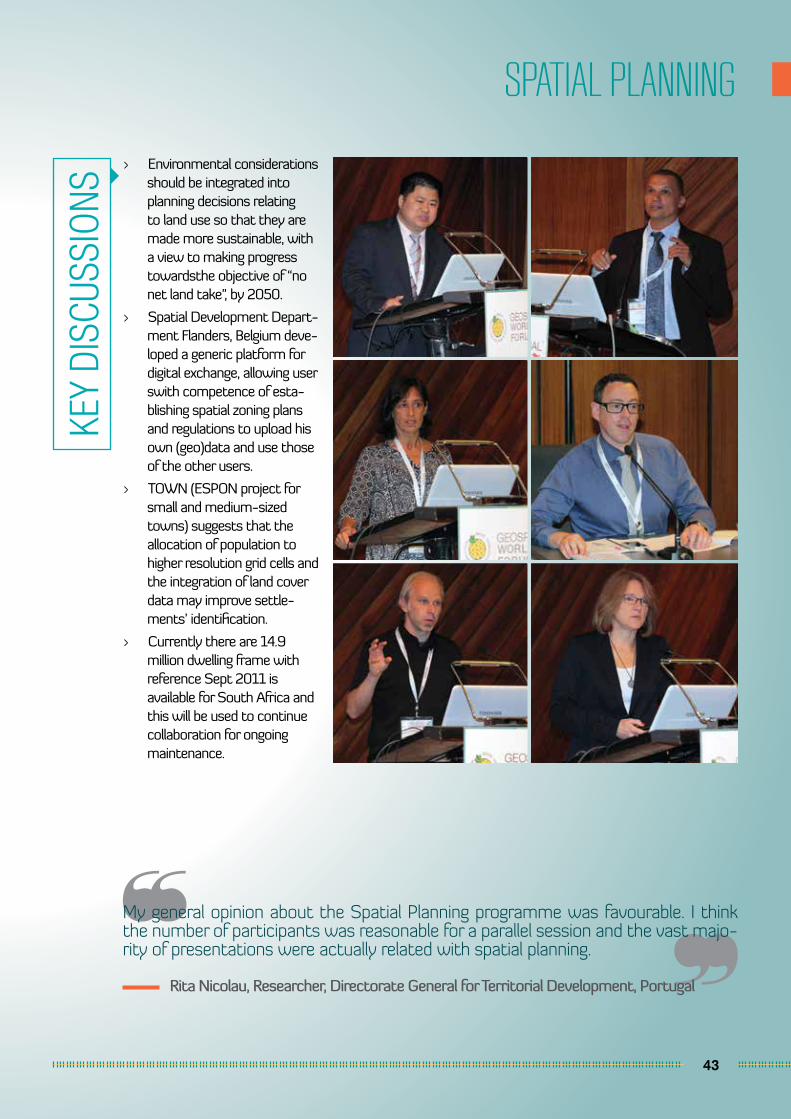
SPATIAL PLANNING
My general opinion about the Spatial Planning programme was favourable. I think the number of participants was reasonable for a parallel session and the vast majo-rity of presentations were actually related with spatial planning.
Rita Nicolau, Researcher, Directorate General for Territorial Development, Portugal
> Environmental considerations should be integrated into planning decisions relating to land use so that they are made more sustainable, with a view to making progress towardsthe objective of “no net land take”, by 2050.
> Spatial Development Depart-ment Flanders, Belgium deve-loped a generic platform for digital exchange, allowing user swith competence of esta-blishing spatial zoning plans and regulations to upload his own (geo)data and use those of the other users.
> TOWN (ESPON project for small and medium-sized towns) suggests that the allocation of population to higher resolution grid cells and the integration of land cover data may improve settle-ments’ identification.
> Currently there are 14.9 million dwelling frame with reference Sept 2011 is available for South Africa and this will be used to continue collaboration for ongoing maintenance.
KEY
DISC
USSI
ONS
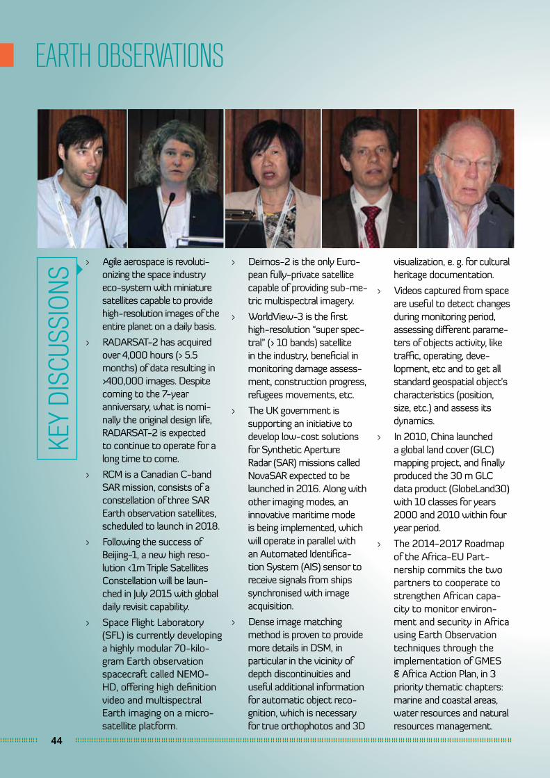
44
EARTH OBSERVATIONS
> Agile aerospace is revoluti-onizing the space industry eco-system with miniature satellites capable to provide high-resolution images of the entire planet on a daily basis.
> RADARSAT-2 has acquired over 4,000 hours (> 5.5 months) of data resulting in >400,000 images. Despite coming to the 7-year anniversary, what is nomi-nally the original design life, RADARSAT-2 is expected to continue to operate for a long time to come.
> RCM is a Canadian C-band SAR mission, consists of a constellation of three SAR Earth observation satellites, scheduled to launch in 2018.
> Following the success of Beijing-1, a new high reso-lution <1m Triple Satellites Constellation will be laun-ched in July 2015 with global daily revisit capability.
> Space Flight Laboratory (SFL) is currently developing a highly modular 70-kilo-gram Earth observation spacecraft called NEMO-HD, offering high definition video and multispectral Earth imaging on a micro-satellite platform.
> Deimos-2 is the only Euro-pean fully-private satellite capable of providing sub-me-tric multispectral imagery.
> WorldView-3 is the first high-resolution “super spec-tral” (> 10 bands) satellite in the industry, beneficial in monitoring damage assess-ment, construction progress, refugees movements, etc.
> The UK government is supporting an initiative to develop low-cost solutions for Synthetic Aperture Radar (SAR) missions called NovaSAR expected to be launched in 2016. Along with other imaging modes, an innovative maritime mode is being implemented, which will operate in parallel with an Automated Identifica-tion System (AIS) sensor to receive signals from ships synchronised with image acquisition.
> Dense image matching method is proven to provide more details in DSM, in particular in the vicinity of depth discontinuities and useful additional information for automatic object reco-gnition, which is necessary for true orthophotos and 3D
visualization, e. g. for cultural heritage documentation.
> Videos captured from space are useful to detect changes during monitoring period, assessing different parame-ters of objects activity, like traffic, operating, deve-lopment, etc and to get all standard geospatial object’s characteristics (position, size, etc.) and assess its dynamics.
> In 2010, China launched a global land cover (GLC) mapping project, and finally produced the 30 m GLC data product (GlobeLand30) with 10 classes for years 2000 and 2010 within four year period.
> The 2014-2017 Roadmap of the Africa-EU Part-nership commits the two partners to cooperate to strengthen African capa-city to monitor environ-ment and security in Africa using Earth Observation techniques through the implementation of GMES & Africa Action Plan, in 3 priority thematic chapters: marine and coastal areas, water resources and natural resources management.
KEY
DISC
USSI
ONS
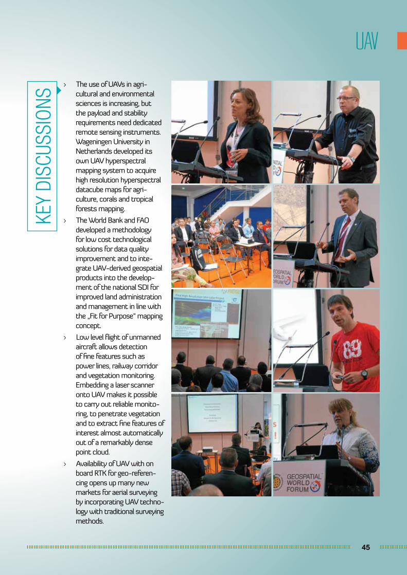
45
UAV
> The use of UAVs in agri-cultural and environmental sciences is increasing, but the payload and stability requirements need dedicated remote sensing instruments. Wageningen University in Netherlands developed its own UAV hyperspectral mapping system to acquire high resolution hyperspectral datacube maps for agri-culture, corals and tropical forests mapping.
> The World Bank and FAO developed a methodology for low cost technological solutions for data quality improvement and to inte-grate UAV-derived geospatial products into the develop-ment of the national SDI for improved land administration and management in line with the „Fit for Purpose“ mapping concept.
> Low level flight of unmanned aircraft allows detection of fine features such as power lines, railway corridor and vegetation monitoring. Embedding a laser scanner onto UAV makes it possible to carry out reliable monito-ring, to penetrate vegetation and to extract fine features of interest almost automatically out of a remarkably dense point cloud.
> Availability of UAV with on board RTK for geo-referen-cing opens up many new markets for aerial surveying by incorporating UAV techno-logy with traditional surveying methods.
KEY
DISC
USSI
ONS
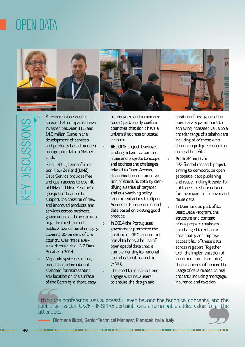
46
OPEN DATA
I think the conference was successful, even beyond the technical contents, and the joint organization GWF - INSPIRE certainly was a remarkable added value for all the attendees.
Diomede Illuzzi, Senior Technical Manager, Planetek Italia, Italy
> A research assessment shows that companies have invested between 11.5 and 14.5 million Euros in the development of services and products based on open topographic data in Nether-lands.
> Since 2011, Land Informa-tion New Zealand (LINZ) Data Service provides free and open access to over 40 of LINZ and New Zealand‘s geospatial datasets to support the creation of new and improved products and services across business, government and the commu-nity. The most current publicly-owned aerial imagery, covering 95 percent of the country, was made avai-lable through the LINZ Data Service in 2014.
> Mapcode system is a free, brand-less, international standard for representing any location on the surface of the Earth by a short, easy
to recognize and remember “code“, particularly useful in countries that don‘t have a universal address or postal system.
> RECODE project leverages existing networks, commu-nities and projects to scope and address the challenges related to Open Access, dissemination and preserva-tion of scientific data by iden-tifying a series of targeted and over-arching policy recommendations for Open Access to European research data based on existing good practice.
> In 2014 the Portuguese government promoted the creation of iGEO, an internet portal to boost the use of open spatial data that is complementing its national spatial data infrastructure (SNIG).
> The need to reach-out and engage with new users to ensure the design and
creation of next generation open data is paramount to achieving increased value to a broader range of stakeholders including all of those who champion policy, economic or societal benefits.
> PublicaMundi is an FP7-funded research project aiming to democratize open geospatial data publishing and reuse, making it easier for publishers to share data and for developers to discover and reuse data.
> In Denmark, as part of its Basic Data Program, the structure and content of real property registers are changed to enhance data quality and improve accessibility of these data across registers. Together with the implementation of ‘common data distributor’, these changes influenced the usage of data related to real property, including mortgage, insurance and taxation.
KEY
DISC
USSI
ONS
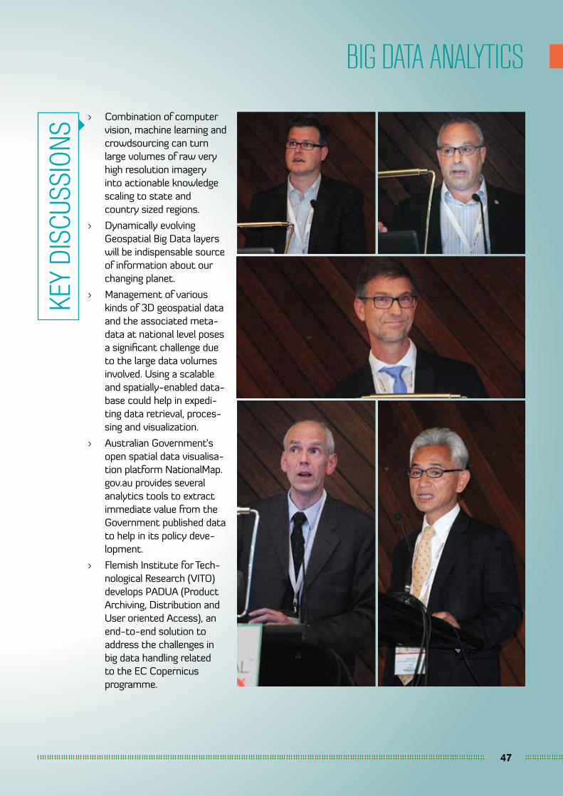
47
BIG DATA ANALYTICS
> Combination of computer vision, machine learning and crowdsourcing can turn large volumes of raw very high resolution imagery into actionable knowledge scaling to state and country sized regions.
> Dynamically evolving Geospatial Big Data layers will be indispensable source of information about our changing planet.
> Management of various kinds of 3D geospatial data and the associated meta-data at national level poses a significant challenge due to the large data volumes involved. Using a scalable and spatially-enabled data-base could help in expedi-ting data retrieval, proces-sing and visualization.
> Australian Government’s open spatial data visualisa-tion platform NationalMap.gov.au provides several analytics tools to extract immediate value from the Government published data to help in its policy deve-lopment.
> Flemish Institute for Tech-nological Research (VITO) develops PADUA (Product Archiving, Distribution and User oriented Access), an end-to-end solution to address the challenges in big data handling related to the EC Copernicus programme.
KEY
DISC
USSI
ONS
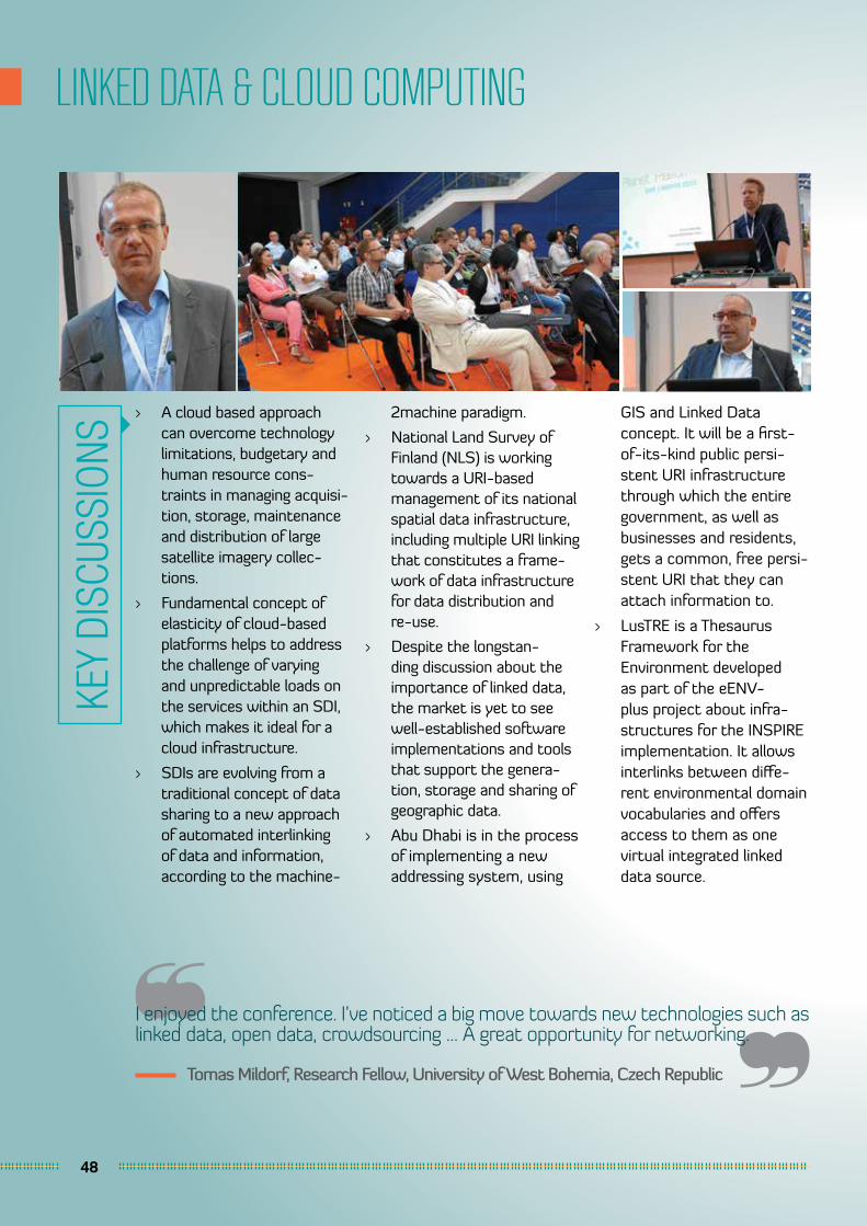
48
LINKED DATA & CLOUD COMPUTING
I enjoyed the conference. I’ve noticed a big move towards new technologies such as linked data, open data, crowdsourcing ... A great opportunity for networking.
Tomas Mildorf, Research Fellow, University of West Bohemia, Czech Republic
> A cloud based approach can overcome technology limitations, budgetary and human resource cons-traints in managing acquisi-tion, storage, maintenance and distribution of large satellite imagery collec-tions.
> Fundamental concept of elasticity of cloud-based platforms helps to address the challenge of varying and unpredictable loads on the services within an SDI, which makes it ideal for a cloud infrastructure.
> SDIs are evolving from a traditional concept of data sharing to a new approach of automated interlinking of data and information, according to the machine-
2machine paradigm.
> National Land Survey of Finland (NLS) is working towards a URI-based management of its national spatial data infrastructure, including multiple URI linking that constitutes a frame-work of data infrastructure for data distribution and re-use.
> Despite the longstan-ding discussion about the importance of linked data, the market is yet to see well-established software implementations and tools that support the genera-tion, storage and sharing of geographic data.
> Abu Dhabi is in the process of implementing a new addressing system, using
GIS and Linked Data concept. It will be a first-of-its-kind public persi-stent URI infrastructure through which the entire government, as well as businesses and residents, gets a common, free persi-stent URI that they can attach information to.
> LusTRE is a Thesaurus Framework for the Environment developed as part of the eENV-plus project about infra-structures for the INSPIRE implementation. It allows interlinks between diffe-rent environmental domain vocabularies and offers access to them as one virtual integrated linked data source.
KEY
DISC
USSI
ONS
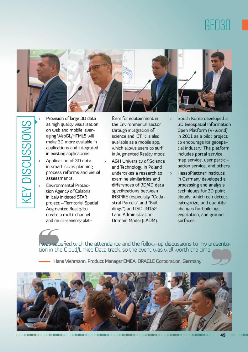
49
GEO3D
I was satisfied with the attendance and the follow-up discussions to my presenta-tion in the Cloud/Linked Data track, so the event was well worth the time.
Hans Viehmann, Product Manager EMEA, ORACLE Corporation, Germany
> Provision of large 3D data as high quality visualisation on web and mobile lever-aging WebGL/HTML5 will make 3D more available in applications and integrated in existing applications.
> Application of 3D data in smart cities planning process reforms and visual assessments.
> Environmental Protec-tion Agency of Calabria in Italy initiated STAR project –‘Territorial Spatial Augmented Reality’to create a multi-channel and multi-sensory plat-
form for edutainment in the Environmental sector, through integration of science and ICT. It is also available as a mobile app, which allows users to surf in Augmented Reality mode.
> AGH University of Science and Technology in Poland undertakes a research to examine similarities and differences of 3D/4D data specifications between INSPIRE (especially “Cada-stral Parcels“ and “Buil-dings“) and ISO 19152 Land Administration Domain Model (LADM).
> South Korea developed a 3D Geospatial Information Open Platform (V-world) in 2011 as a pilot project to encourage its geospa-tial industry. The platform includes portal service, map service, user partici-pation service, and others.
> HassoPlattner Institute in Germany developed a processing and analysis techniques for 3D point clouds, which can detect, categorize, and quantify changes for buildings, vegetation, and ground surfaces.
KEY
DISC
USSI
ONS
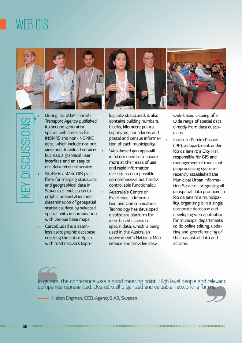
50
WEB GIS
In general the conference was a good meeting point. High level people and relevant companies represented. Overall, well organized and valuable networking for me.
Hakan Engman, CEO, Agency9 AB, Sweden
> During Fall 2014, Finnish Transport Agency published its second generation spatial web services for INSPIRE and non-INSPIRE data, which include not only view and download services but also a graphical user interface and an easy to use data retrieval service.
> StaGe is a Web-GIS plat-form for merging statistical and geographical data in Slovenia.It enables carto-graphic presentation and dissemination of geospatial statistical data by selected spatial units in combination with various base maps.
> CartoCiudad is a seam-less cartographic database covering the entire Spain with road network topo-
logically structured; it also contains building numbers, blocks, kilometre points, toponyms, boundaries and postal and census informa-tion of each municipality.
> Web-based geo appswill in future need to measure more at their ease of use and rapid information delivery as on a possible comprehensive but hardly controllable functionality.
> Australia’s Centre of Excellence in Informa-tion and Communication Technology has developed a software platform for web-based access to spatial data, which is being used in the Australian government’s National Map service and provides easy
web-based viewing of a wide range of spatial data directly from data custo-dians.
> Instituto Pereira Passos (IPP), a department under Rio de Janeiro‘s City Hall responsible for GIS and management of municipal geoprocessing system-recently established the Municipal Urban Informa-tion System, integrating all geospatial data produced in Rio de Janeiro‘s municipa-lity, organizing it in a single corporate database and developing web application for municipal departments to do online editing, upda-ting and georeferencing of their cadastral data and actions.
KEY
DISC
USSI
ONS
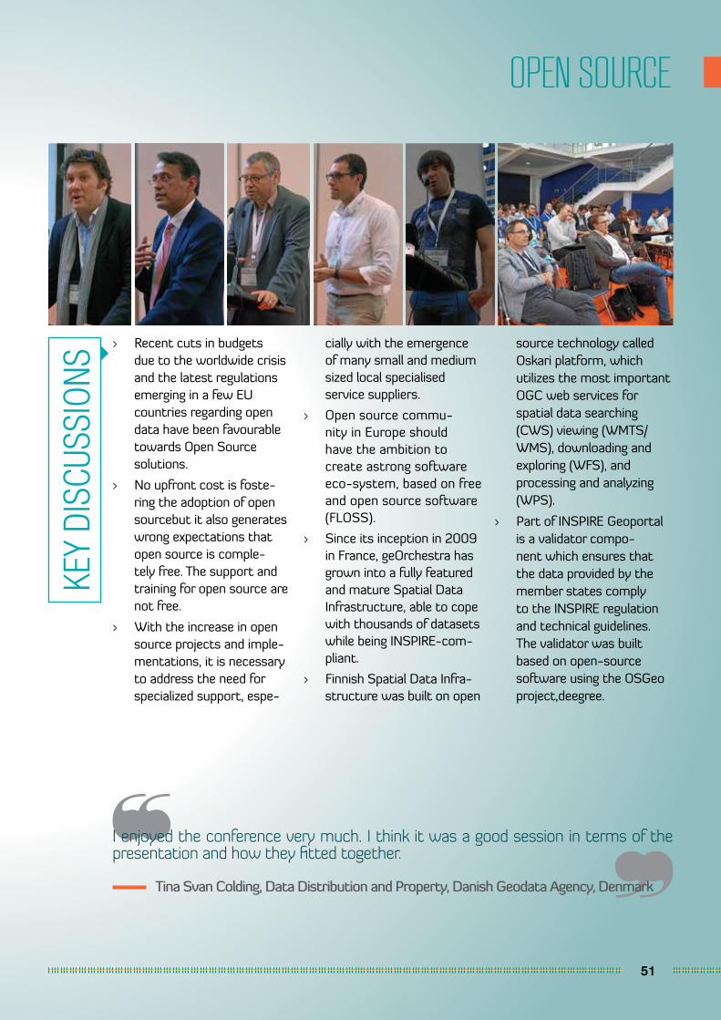
51
OPEN SOURCE
I enjoyed the conference very much. I think it was a good session in terms of the presentation and how they fitted together.
Tina Svan Colding, Data Distribution and Property, Danish Geodata Agency, Denmark
> Recent cuts in budgets due to the worldwide crisis and the latest regulations emerging in a few EU countries regarding open data have been favourable towards Open Source solutions.
> No upfront cost is foste-ring the adoption of open sourcebut it also generates wrong expectations that open source is comple-tely free. The support and training for open source are not free.
> With the increase in open source projects and imple-mentations, it is necessary to address the need for specialized support, espe-
cially with the emergence of many small and medium sized local specialised service suppliers.
> Open source commu-nity in Europe should have the ambition to create astrong software eco-system, based on free and open source software (FLOSS).
> Since its inception in 2009 in France, geOrchestra has grown into a fully featured and mature Spatial Data Infrastructure, able to cope with thousands of datasets while being INSPIRE-com-pliant.
> Finnish Spatial Data Infra-structure was built on open
source technology called Oskari platform, which utilizes the most important OGC web services for spatial data searching (CWS) viewing (WMTS/WMS), downloading and exploring (WFS), and processing and analyzing (WPS).
> Part of INSPIRE Geoportal is a validator compo-nent which ensures that the data provided by the member states comply to the INSPIRE regulation and technical guidelines. The validator was built based on open-source software using the OSGeo project,deegree.
KEY
DISC
USSI
ONS
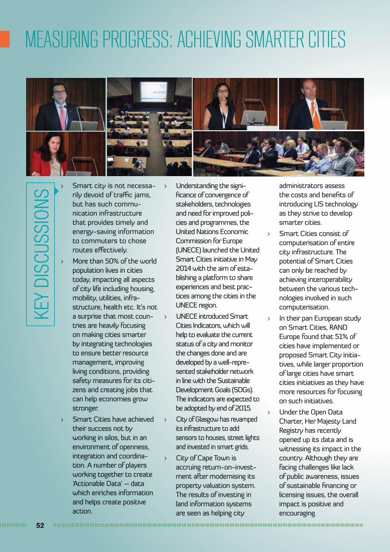
52
MEASURING PROGRESS: ACHIEVING SMARTER CITIES
> Smart city is not necessa-rily devoid of traffic jams, but has such commu-nication infrastructure that provides timely and energy-saving information to commuters to chose routes effectively.
> More than 50% of the world population lives in cities today, impacting all aspects of city life including housing, mobility, utilities, infra-structure, health etc. It‘s not a surprise that most coun-tries are heavily focusing on making cities smarter by integrating technologies to ensure better resource management, improving living conditions, providing safety measures for its citi-zens and creating jobs that can help economies grow stronger.
> Smart Cities have achieved their success not by working in silos, but in an environment of openness, integration and coordina-tion. A number of players working together to create ‘Actionable Data’ – data which enriches information and helps create positive action.
> Understanding the signi-ficance of convergence of stakeholders, technologies and need for improved poli-cies and programmes, the United Nations Economic Commission for Europe (UNECE) launched the United Smart Cities initiative in May 2014 with the aim of esta-blishing a platform to share experiences and best prac-tices among the cities in the UNECE region.
> UNECE introduced Smart Cities Indicators, which will help to evaluate the current status of a city and monitor the changes done and are developed by a well-repre-sented stakeholder network in line with the Sustainable Development Goals (SDGs). The indicators are expected to be adopted by end of 2015.
> City of Glasgow has revamped its infrastructure to add sensors to houses, street lights and invested in smart grids.
> City of Cape Town is accruing return-on-invest-ment after modernising its property valuation system. The results of investing in land information systems are seen as helping city
administrators assess the costs and benefits of introducing LIS technology as they strive to develop smarter cities.
> Smart Cities consist of computerisation of entire city infrastructure. The potential of Smart Cities can only be reached by achieving interoperability between the various tech-nologies involved in such computerisation.
> In their pan European study on Smart Cities, RAND Europe found that 51% of cities have implemented or proposed Smart City initia-tives, while larger proportion of large cities have smart cities initiatives as they have more resources for focusing on such initiatives.
> Under the Open Data Charter, Her Majesty Land Registry has recently opened up its data and is witnessing its impact in the country. Although they are facing challenges like lack of public awareness, issues of sustainable financing or licensing issues, the overall impact is positive and encouraging.
KEY
DISC
USSI
ONS
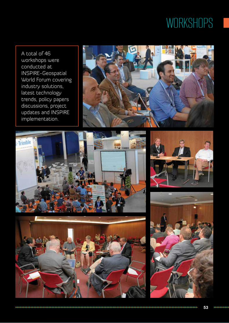
53
WORKSHOPS
A total of 46 workshops were conducted at INSPIRE-Geospatial World Forum covering industry solutions, latest technology trends, policy papers discussions, project updates and INSPIRE implementation.
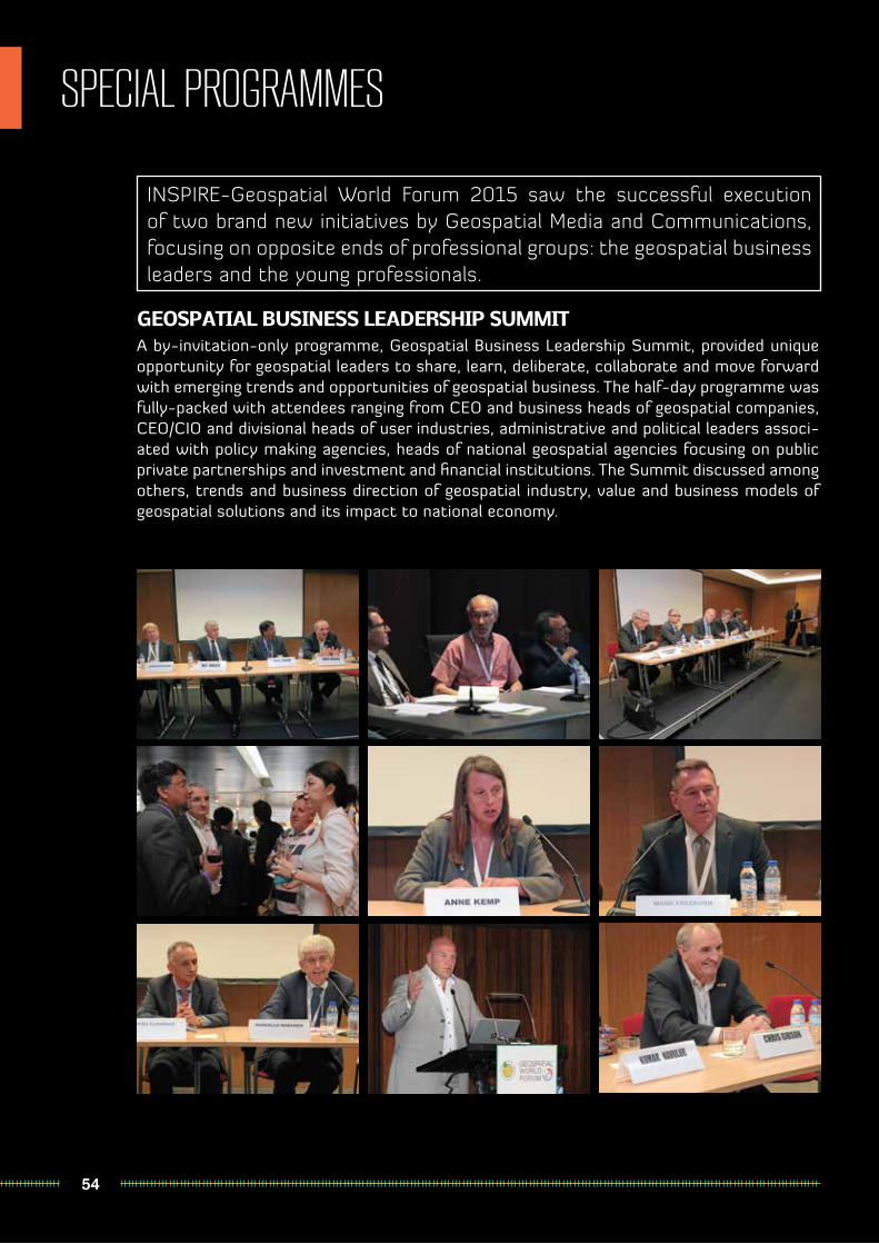
54
SPECIAL PROGRAMMES
GEOSPATIAL BUSINESS LEADERSHIP SUMMITA by-invitation-only programme, Geospatial Business Leadership Summit, provided unique opportunity for geospatial leaders to share, learn, deliberate, collaborate and move forward with emerging trends and opportunities of geospatial business. The half-day programme was fully-packed with attendees ranging from CEO and business heads of geospatial companies, CEO/CIO and divisional heads of user industries, administrative and political leaders associ-ated with policy making agencies, heads of national geospatial agencies focusing on public private partnerships and investment and financial institutions. The Summit discussed among others, trends and business direction of geospatial industry, value and business models of geospatial solutions and its impact to national economy.
INSPIRE-Geospatial World Forum 2015 saw the successful execution of two brand new initiatives by Geospatial Media and Communications, focusing on opposite ends of professional groups: the geospatial business leaders and the young professionals.

55
SPECIAL PROGRAMMES
YOUNG PROFESSIONALS FORUMResponding to the ever-changing role and capacity expectation faced by geospatial graduates in modern days, a full-day Forum exclusive for young geospatial professionals was organized in collaboration with UNIGIS, Leibniz University of Hannover, FIG Young Surveyors and Portuguese Association of Engineers. The Forum featured talks from senior executives and young CEOs of geospatial companies advising students and young professi-onals in attendance on various prospects awaiting them in the industry.
56
CLOSING SESSION
At a heavily attended closing session on Thursday, 28 May 2015, Ales-sandro Annoni, Head of the Digital Earth and Reference Data Unit, Joint Research Centre, European Commis-sion, summed up the four days’ takeaways alongside some statistics of the conference. He stressed that “Industry, government and users should work closer to ensure that new technologies fit the needs of users and that governments make the right actions (political and financial) to address the needs of the users and facilitate industry to develop solutions.” He also adds “INSPIRE-Geospatial World Forum has been an important step in this direction but still a lot remains to be done.”
Speaking to the delegates earlier, Miguel de Castro Neto, Secre-tary of State for Spatial Planning and Nature Conservation, Portugal, talked about geospatial implementa-tion in Portugal, and the importance
of a platform such as INSPIRE-Ge-ospatial World Forum to act as a medium to disseminate information and exchange of ideas between policy makers and geospatial community.
Sanjay Kumar, Chief Execu-tive Officer, Geospatial Media and Communications, in his closing speech believes that the confe-rence will not only impact the 1700+ attendees, but millions other users worldwide, especially through the ongoing social media discussions and the upcoming conference proceedings to be made accessible online.
It was announced that INSPIRE conference will be held in the month of September next year in Barcelona, while Geospatial World Forum 2016 will take place in City of Rotterdam, The Netherlands on 23-26 May 2016.
SPECIAL AWARDS FOR RECOGNITION OF EXCELLENCE
IN GEO-INFORMATION TECHNOLOGIES
Dirk Frigneon behalf of open source communities behind Geosparc
WeTransform, lat/lon teamsMichel Grothe
Geonovum, Netherlands
BEST POSTER AWARD
Cristina CarricoIntermunicipal Community of Central Alentejo, Portugal
OTALEX C Assess Cross Border Sustainability Indicators
BEST PAPER AWARDSHarm Bartholomeus
Wageningen University, NetherlandsDesign of a UAV-based Hyperspectral Scanning System and
Application in Agricultural and Environmental Research
Peter WillemsDepartment of Spatial Development of the
Flemish Government, BelgiumAn Exchange Platform Gathering & Distributing Spatial
Zoning Plans in Flanders, Belgium
Sheetal D MaratheUniversity of Stuttgart, Germany
Mapping Gauteng‘s Renewable Energy Potential: A GIS-Based Analysis

GEOSPATIAL WORLD AWARDS
57
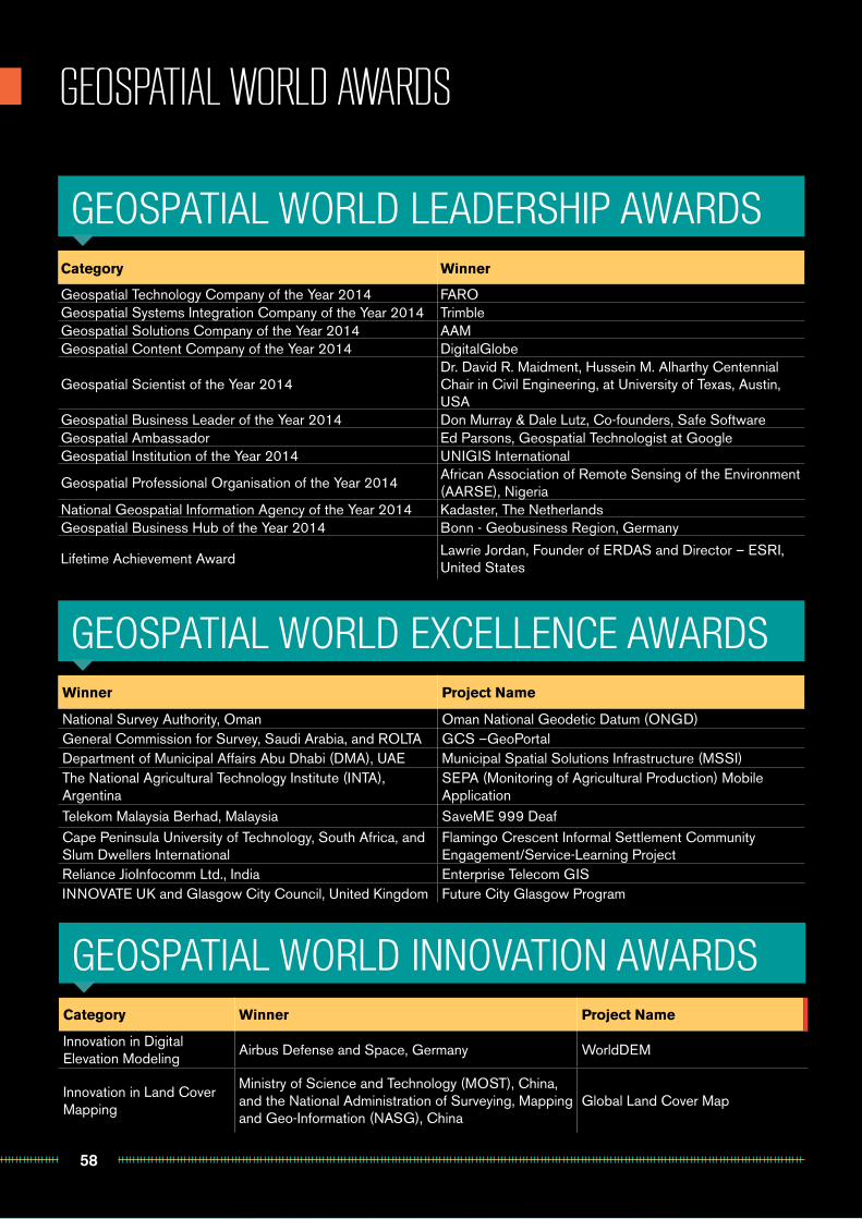
58
GEOSPATIAL WORLD AWARDS
Category Winner
Geospatial Technology Company of the Year 2014 FAROGeospatial Systems Integration Company of the Year 2014 TrimbleGeospatial Solutions Company of the Year 2014 AAMGeospatial Content Company of the Year 2014 DigitalGlobe
Geospatial Scientist of the Year 2014Dr. David R. Maidment, Hussein M. Alharthy Centennial Chair in Civil Engineering, at University of Texas, Austin, USA
Geospatial Business Leader of the Year 2014 Don Murray & Dale Lutz, Co-founders, Safe SoftwareGeospatial Ambassador Ed Parsons, Geospatial Technologist at Google Geospatial Institution of the Year 2014 UNIGIS International
Geospatial Professional Organisation of the Year 2014African Association of Remote Sensing of the Environment (AARSE), Nigeria
National Geospatial Information Agency of the Year 2014 Kadaster, The NetherlandsGeospatial Business Hub of the Year 2014 Bonn - Geobusiness Region, Germany
Lifetime Achievement Award Lawrie Jordan, Founder of ERDAS and Director – ESRI, United States
Winner Project Name
National Survey Authority, Oman Oman National Geodetic Datum (ONGD)General Commission for Survey, Saudi Arabia, and ROLTA GCS –GeoPortalDepartment of Municipal Affairs Abu Dhabi (DMA), UAE Municipal Spatial Solutions Infrastructure (MSSI)The National Agricultural Technology Institute (INTA), Argentina
SEPA (Monitoring of Agricultural Production) Mobile Application
Telekom Malaysia Berhad, Malaysia SaveME 999 DeafCape Peninsula University of Technology, South Africa, and Slum Dwellers International
Flamingo Crescent Informal Settlement Community Engagement/Service-Learning Project
Reliance JioInfocomm Ltd., India Enterprise Telecom GISINNOVATE UK and Glasgow City Council, United Kingdom Future City Glasgow Program
GEOSPATIAL WORLD LEADERSHIP AWARDS
GEOSPATIAL WORLD INNOVATION AWARDS
GEOSPATIAL WORLD EXCELLENCE AWARDS
Category Winner Project Name
Innovation in Digital Elevation Modeling
Airbus Defense and Space, Germany WorldDEM
Innovation in Land Cover Mapping
Ministry of Science and Technology (MOST), China, and the National Administration of Surveying, Mapping and Geo-Information (NASG), China
Global Land Cover Map
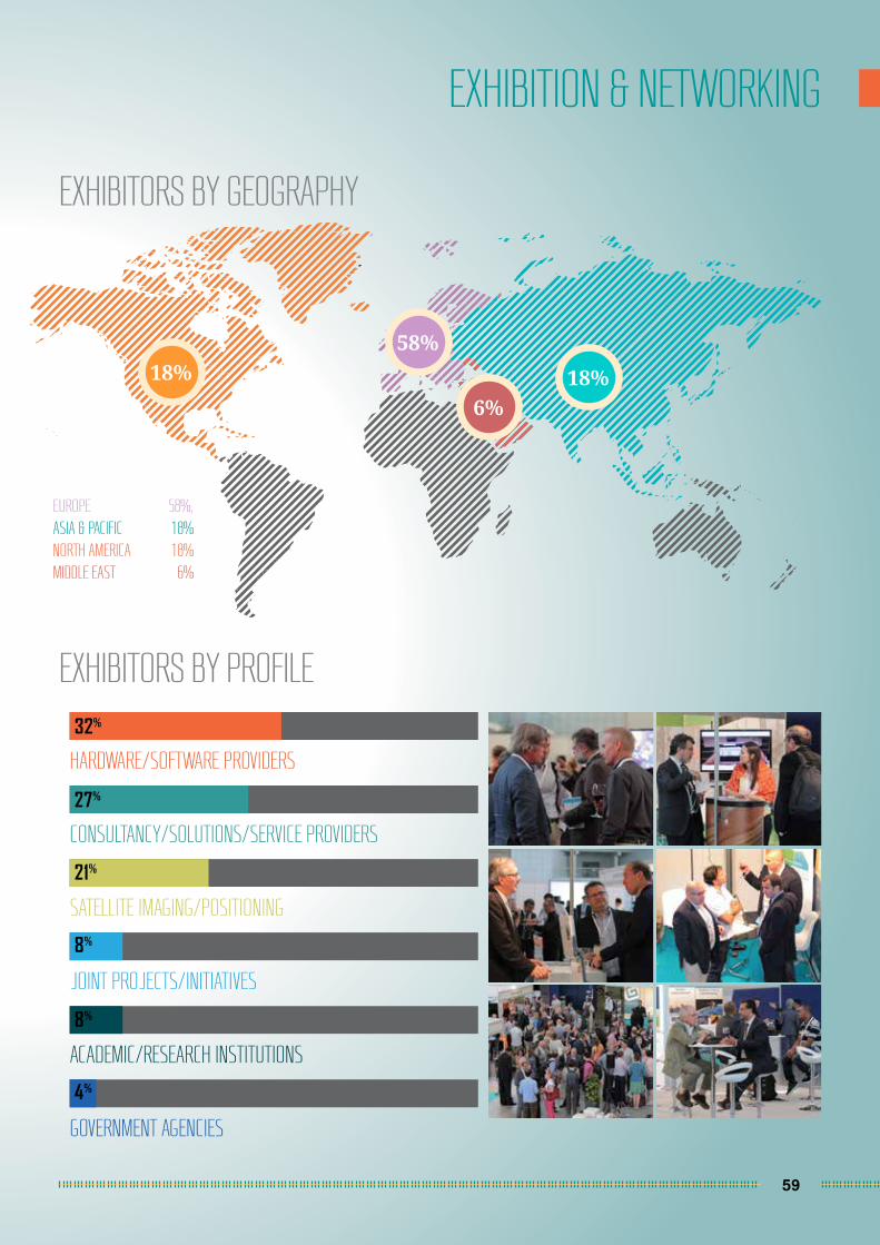
59
EXHIBITION & NETWORKING
EXHIBITORS BY GEOGRAPHY
EXHIBITORS BY PROFILE
EUROPE 58%,ASIA & PACIFIC 18%NORTH AMERICA 18%MIDDLE EAST 6%
HARDWARE/SOFTWARE PROVIDERS
CONSULTANCY/SOLUTIONS/SERVICE PROVIDERS
SATELLITE IMAGING/POSITIONING
JOINT PROJECTS/INITIATIVES
ACADEMIC/RESEARCH INSTITUTIONS
GOVERNMENT AGENCIES
32%
27%
21%
8%
8%
4%
18%58%
6%18%

60
OUR EXHIBITORS
R
61
MOMRA
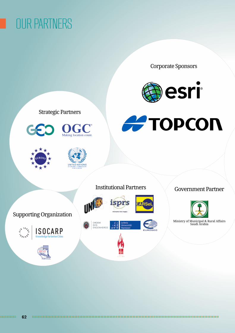
62
OUR PARTNERS
Ministry of Municipal & Rural Affairs Saudi Arabia
Government Partner
Strategic Partners
Supporting Organization
Corporate Sponsors
Institutional Partners
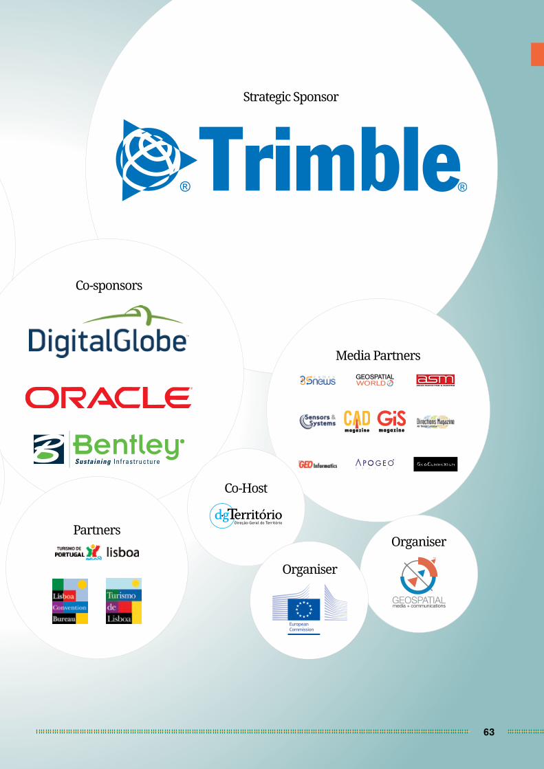
63
WORLDGEOSPATIAL
Strategic Sponsor
Co-sponsors
PartnersOrganiser
Co-Host
Media Partners
Organiser

ORGANISER
23-26 MAY, 2016
ROT TERDAM, THE NETHERLANDS
www.geospatialworldforum.org