reifshistoryclasses.weebly.comreifshistoryclasses.weebly.com/uploads/7/9/8/3/... · web viewnorth...
TRANSCRIPT

Where were classical civilizations located? Identify where classical civilization were located.
IntroductionDirections: Label the continents, regions, and bodies of water listed on the map below.
Continents Regions Bodies of Water
North America
Asia South America
Middle East South Asia Atlantic Ocean Indian Ocean
Africa Europe Antarctica East Asia North Africa Pacific Ocean Southern Ocean
Mediterranean Sea

What is the Classical Era/Period/Age (600 BCE- 900 CE)?
Period of time in which complex civilizations expanded to establish large land empires and were more interconnected through trade than earlier civilizations. These civilizations made great contributions to our collective learning as a result of golden ages marked by prosperity. Most of the major belief systems that still impact our world were established during this time.
Mapping the Classical Civilizations
Directions: As you read the maps below, complete the annotation steps for each map, and then answer the questions accompanying each map. You can find these maps in full color on my website.
1. Find and read the legend, and labels on the map.
2. Put a question mark next to information on the map that confuses you.
3. Write notes on the map or in the margins with information that you think relates to the map or questions you have.

Map #1: Classical Civilizations in 500 BCE
Source: Adapted from www.timemaps.com/history/world-500bc
1. Which continent was the Zhou Dynasty located on?
2. What body of water did the Roman Republic border in 500 BCE? (Reference your introduction activity)
3. Which civilization controlled the greatest amount of land in 500 BCE? Which region was it located in?
4. Which two civilizations labeled on the map were closest to the Greek City States in 500 BCE?

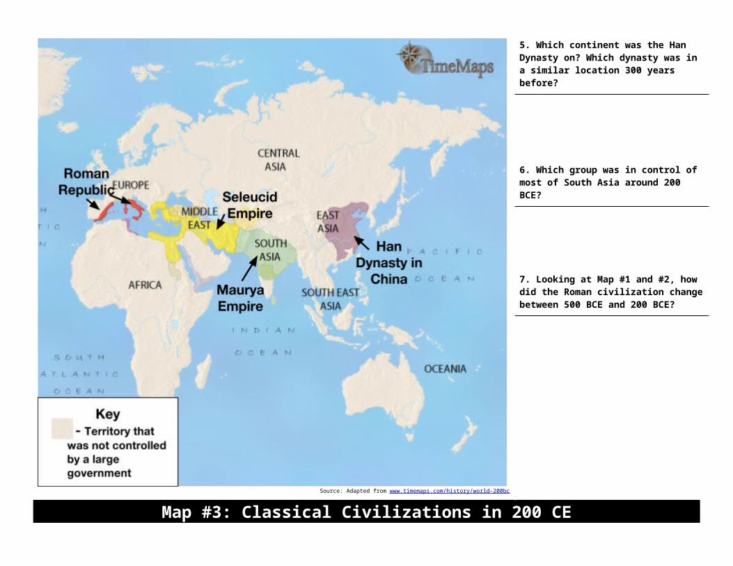
Map #2: Classical Civilizations in 200 BCE
Source: Adapted from www.timemaps.com/history/world-200bc
5. Which continent was the Han Dynasty on? Which dynasty was in a similar location 300 years before?
6. Which group was in control of most of South Asia around 200 BCE?
7. Looking at Map #1 and #2, how did the Roman civilization change between 500 BCE and 200 BCE?
Map #3: Classical Civilizations in 200 CE
Source: Adapted from http://www.timemaps.com/history/world-200ad
8. Which two civilizations controlled the greatest amount of land in 200 CE?
9. Identify the three continents that the Roman Empire controlled land on.
10. What changed in South Asia between 200 BCE and 200 CE? Why do you think this change took place?

Map #4: Classical Civilizations in 500 CE
Source: Adapted from http://www.timemaps.com/history/world-500ad
11. Which civilization had control of most of South Asia in 500 CE?
12. To travel from the Eastern Roman Empire to the Persian Empire in which direction would a merchant have to go?
13. Looking at Map #3 and Map #4, what changed in Europe and East Asia between 200 CE and 500 CE?

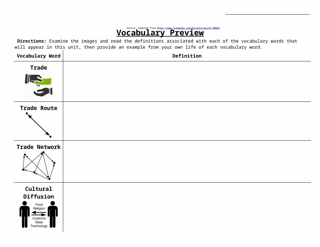
Vocabulary Preview Directions: Examine the images and read the definitions associated with each of the vocabulary words that will appear in this unit, then provide an example from your own life of each vocabulary word.
Vocabulary Word Definition
Trade
Trade Route
Trade Network
Cultural Diffusion
Trade in the Classical WorldThe map below shows trade routes and trade networks that existed at the end of the Classical Era and continued to exist through the 15th century. The maps that follow this one focus in on some of the trade networks that are highlighted below.
Directions: Examine each of the following maps that show trade routes and networks that developed during the Classical Era and complete the synthesis at the end of this packet. Full color maps can be found on my website.
Major World Trade Routes in the 15th Century
Source: Philippe Beaujard in “The Indian Ocean in Eurasian and African World-Systems before the Sixteenth Century,” Journal of World History (adapted) from the NYS Global History and Geography Regents
Examination, August 2012.

Indian Ocean Trade Complex

Silk Road Routes

Source: http://teachersites.schoolworld.com/webpages/GHurst/files/traderoutesofbyzantium.jpg

Mediterranean Sea ComplexSynthesis
Directions: For each of the examples below, use the maps you’ve examined to: 1. Determine if the good described could have been traded between the regions specified by the end of the Classical Era. Circle Yes or No.2. Explain whether or not the good could have been traded between the regions specified before the Age of Exploration.
a. If it could have been traded between those regions, then explain how by identifying which regions the good could have travelled through, which bodies of water it could have crossed, and which trade networks it would have been traded through.
b. If the item could NOT have been traded between the regions identified, then explain why.
Description of goodCould the good have
been traded between the regions specified?
Explain how or why not
Silk from East Asia was traded in the Middle East YES NO
Gold from West Africa was traded in East Asia. YES NO
Pepper from South Asia was traded in Western Europe. YES NO