web mapping for the dissemination of census data: canadian experience expert group meeting on...
TRANSCRIPT
Web Mapping for the Dissemination of Census
Data: Canadian Experience
Expert Group Meeting on Contemporary Practices in Census Mapping and Use of Geographical Information System
Presented by: Joe Kresovic and Daniel Paquin
May 30, 2007
Outline
The Web’s role in dissemination Benefits and challenges from Web
dissemination Evolution of Web mapping tool for
dissemination Lessons learned from Web mapping Development of Common Look and Feel
(CLF) for Web mapping
Importance of the Web
Key medium for the dissemination of census data
All standard geographic products are disseminated on the Web
All data highlight tables are disseminated on the Web
Benefits from Web Dissemination
Improved timeliness Increased accessibility of products Broader reach of products Increased usability
Challenges of Web Dissemination
Diversity of user community Increased demand Format selection Metadata User expectations
Geography Product Line
Maps Interactive Web mapping tool Standard reference Thematic
Spatial products Road Network File (RNF) Boundary files
Attribute file products GeoSuite Geographic Attribute File (GAF) Correspondence files
Evolution of a Web Mapping Tool - GeoSearch
1996 Census played role of on-line reference map
2001 Census data exploration tool coding tool for internal operations
2006 Census key data exploration tool, including thematic
mapping capability coding tool for internal operations used in managing overall census operations delineation of collection geography
Lessons Learned from Web Mapping
Need for common look and feel standards Use a common engine for many
applications Enhances accessibility to data Integrate products Ability to scale architecture
Development of Web Mapping Common
Interface
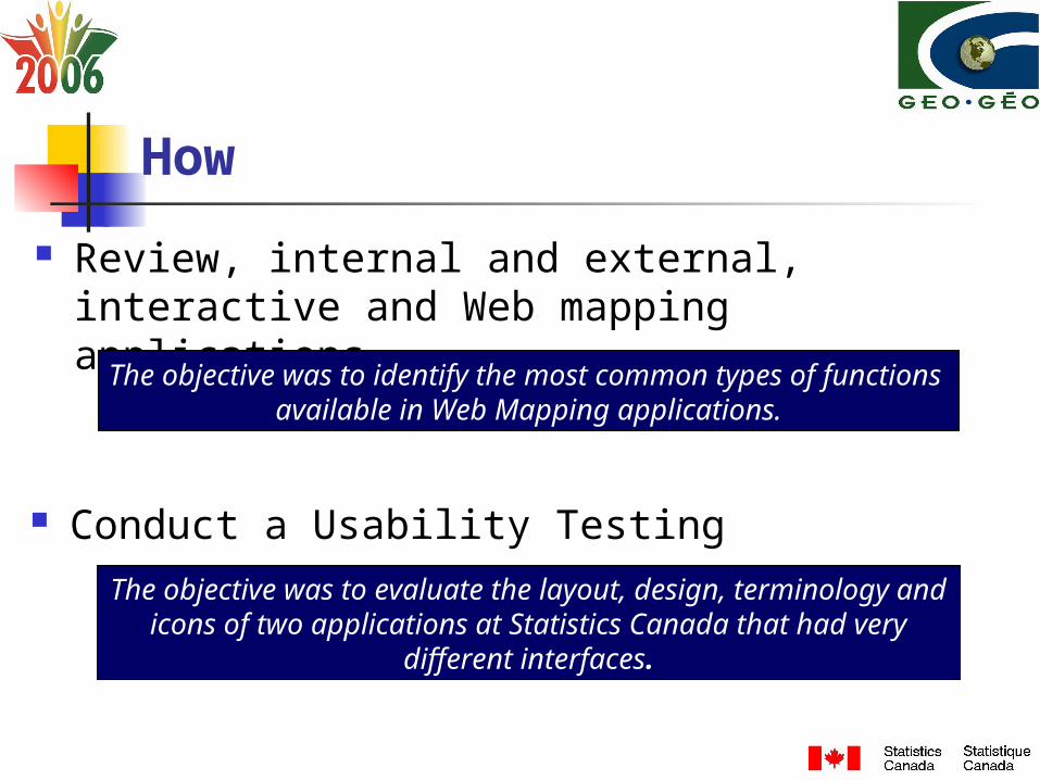
How
Review, internal and external, interactive and Web mapping applications
The objective was to identify the most common types of functions available in Web Mapping applications.
The objective was to evaluate the layout, design, terminology and icons of two applications at Statistics Canada that had very
different interfaces.
Conduct a Usability Testing
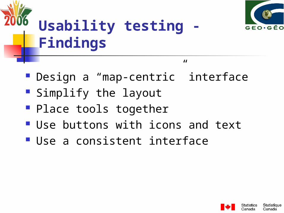
Usability testing - Findings
Design a “map-centric” interface Simplify the layout Place tools together Use buttons with icons and text Use a consistent interface
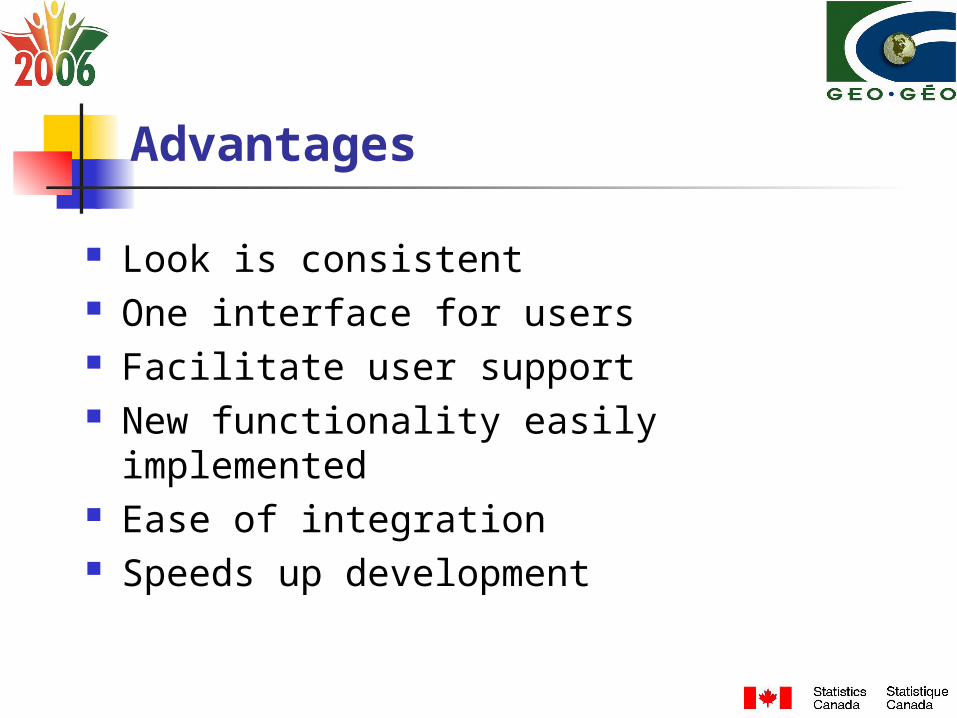
Advantages
Look is consistent One interface for users Facilitate user support New functionality easily implemented Ease of integration Speeds up development
Challenges
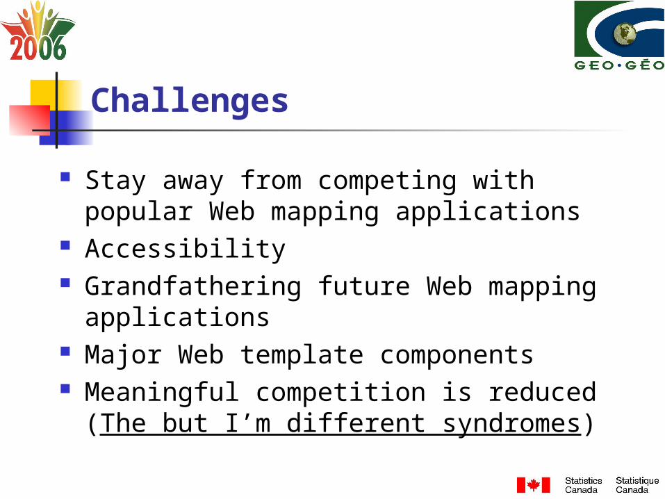
Stay away from competing with popular Web mapping applications
Accessibility Grandfathering future Web mapping
applications Major Web template components Meaningful competition is reduced (The but
I’m different syndromes)
Lessons Learned
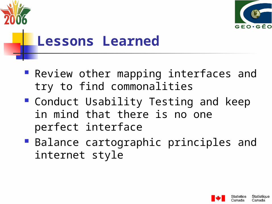
Review other mapping interfaces and try to find commonalities
Conduct Usability Testing and keep in mind that there is no one perfect interface
Balance cartographic principles and internet style
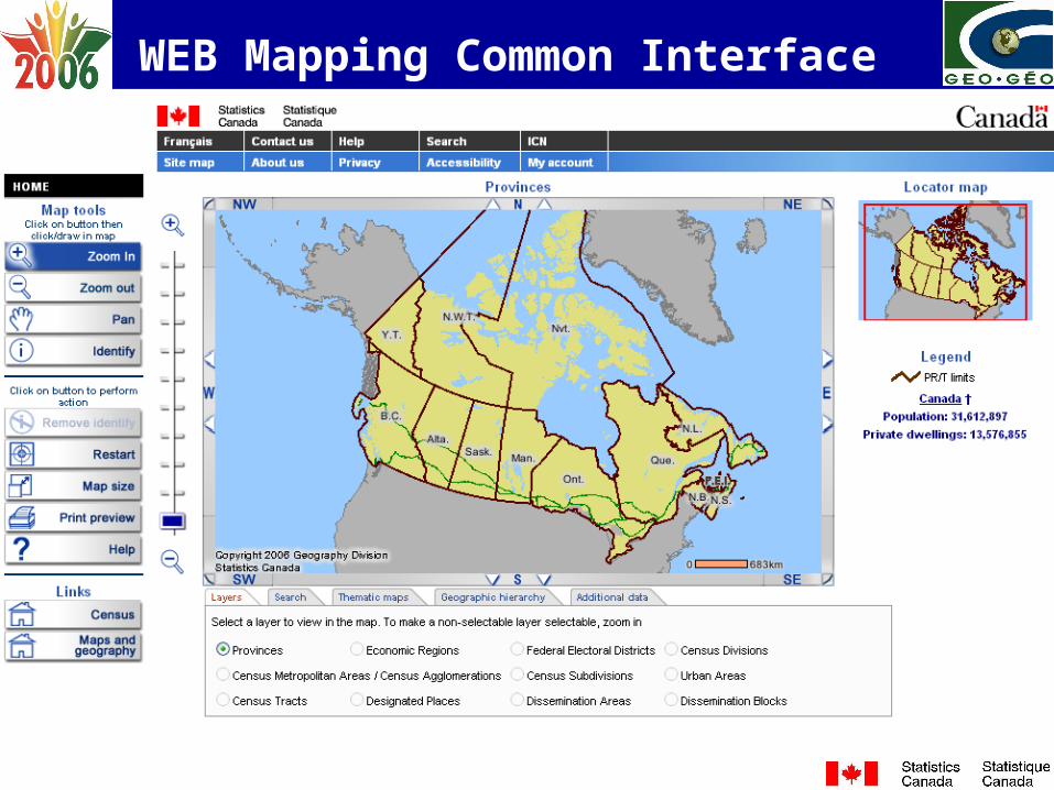
WEB Mapping Common Interface