web map projections interesting implementations · web map projections – interesting...
TRANSCRIPT

Web Map Projections –
Interesting Implementations
Gordon Plunkett
GEOIDE SSII 109 Project Workshop
October 26, 2012
ESRI Canada
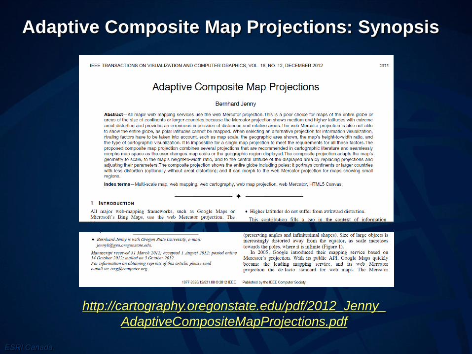
Adaptive Composite Map Projections: Synopsis
http://cartography.oregonstate.edu/pdf/2012_Jenny_
AdaptiveCompositeMapProjections.pdf

ESRI Canada
Introduction
• The Mercator projection is a compromise for web maps
• Maps showing the entire globe or areas of the size of
continents or larger countries (i.e., maps at small scales),
the Mercator projection is an inappropriate choice
because:
– Enormous areal distortion at higher latitudes
– Areas of features at different latitudes cannot be visually
compared, as map-readers are not able to compensate for the
areal distortion induced by the Mercator projection.
– Impossibility of showing the entire globe, as poles are placed at
infinite distance from the equator.
– Some data visualization types are difficult to interpret. For
example, choropleth or dot maps require an equal-area base.

ESRI Canada
References
• J. P. Snyder, “Social consciousness and world maps,”
The Christian Century, vol. 105, 1988.
• J. P. Snyder, Map Projections - A Working Manual. US
Government Printing Office, 1987.
• J. P. Snyder, Flattening the Earth: Two Thousand Years
of Map Projections. University Of Chicago Press, 1993.

ESRI Canada
Why a composite map?
• A better map projection is needed for interactive small-
scale maps, which allow the user to adjust scale and the
geographic area displayed.
• The alternative projection must minimize space distortion
and be applicable for all map scales, all geographic
latitudes, and all map formats.
• Since a single map projection cannot meet all constraints,
a composite of multiple map projections is proposed.

ESRI Canada
The details
• composition schema involving multiple projections.
• The geometry of the map changes seamlessly without a
visual discontinuity as the user changes scale (zoom) or
the central latitude (pan).
• At small scales, the mapmaker can choose among
different projections to adapt map geometry to a particular
format or application. (?)
• At large scales, the composite can be made compatible
with existing services by including the WMP.

ESRI Canada
The benefits of composite projections
• The composite projection can optionally be made
equivalent (that is, equal area) for all scales, resulting in a
faithful representation of areas.
• Polar views, that is, maps including the North or South
Pole, are possible.
• Higher latitudes do not suffer from awkward distortion.

ESRI Canada
Web Mercator Projection the good and the bad

ESRI Canada
Selecting a Map Projection
• World. For world maps, if equivalency and a standard
aspect is required, John Snyder recommends several
projections for uninterrupted maps
• Hemisphere. For equivalent maps showing an area of the
size of a hemisphere, Snyder recommends the Lambert
azimuthal projection.
• Smaller areas. For maps showing continents or smaller
areas, The four categories are
– a predominant east-west extent (landscape format),
– north-south extend (portrait format)
– equal extent (square format)
– an oblique orientation of the major axis of the mapped area

ESRI Canada
Quality Criteria
• Distortion. Depending on the map’s purpose and its type
of visualization, the projection should minimize distortion
of area, angles, shapes, directions, distances, etc.
• Graticule border and shape. The shape of the graticule
(the lines of constant latitude and longitude) should meet
certain requirements.
• Esthetics. The choice of projection is also a question of
esthetics and design, particularly for world maps.
• Map navigation. When the user changes map scale or
the geographical area displayed, geometry has to be
projected on the fly at responsive frame rates.

ESRI Canada
Projections for World and Hemisphere Views

ESRI Canada
Issues
• it overly bends parallels, adds considerable shape
distortion, and … folds graticule lines
• can result in unusual-looking continental outlines
• landmasses with uncommon orientation and distortion
• considerably rotated or moved to the edges of this map
visually stand out
• they do not correspond with our familiar mental image of
the world
• This spiky dent might be confusing and graphically
unpleasing
• this would generate confusing south oriented maps, and
cause difficulty for spatial navigation

ESRI Canada
Projections for Smaller Areas
• Square Format Maps
– Lambert azimuthal projection

ESRI Canada
Projections for Smaller Areas
• Landscape Format Maps
– Polar Areas: Lambert azimuthal projection
– Intermediate Latitudes: Albers conic projection
– Equatorial: Lambert cylindrical projection

ESRI Canada
Projections for Smaller Areas
• Portrait Format Maps
– transverse Lambert cylindrical projection
– Albers conic projection

ESRI Canada
Select a projection

ESRI Canada
Evaluation of Prototype
• Distortion – Minimization was main goal
• Graticule border and shape – Some projections worked
ok, but others had “unusual and potentially disturbing
outlines
• Esthetics – Perhaps a replacement for the Hammer
projection is required
• Map navigation - Projections seamlessly morph map
space as the user adjusts map scale and the geographic
area.

ESRI Canada
Conclusions
• Geographic space is represented with considerably less
areal distortion than with the standard static web Mercator
projection
• Some maps require non-equal area projections to best
portray a phenomenon.
• The fact that the globe can be rotated and the poles can
potentially offer new insights on the arrangement of
geographic features, especially when mapping
phenomena associated with polar areas, such as
circumpolar bird migration, global warming, or melting ice
sheets.

ESRI Canada
Conclusions (Cont)
• Experience gained with the proof-of-concept shows that
on-the-fly projection of vector and raster data for web
maps is feasible and interactive response rates can be
achieved with current web browsers.
• The biggest weakness of the proposed composite
projection might be the fact that existing tile based web
mapping systems have to be redesigned.
• The proposed projection scheme is only useful when the
information is truly multi-scale, that is, in some cases the
user is unlikely to gain additional information when
zooming in or out in a relatively coarse single-scale data
set.

ESRI Canada
Comparison to GEOIDE Project
• The overarching scientific goal of the proposed work:
– Develop and implement
– an improved worldwide web mapping system
– to store and present pre-rendered geographic information
– that is math based,
– multi-resolution,
– seamless,
– low distortion,
– consistent and ?
– multipurpose.

ESRI Canada
Questions?
• I’ll try and answer