web gis in agriculture land use, crop management and planning€¦ · web gis in agriculture land...
TRANSCRIPT

Web GIS in Agriculture
Land Use, Crop Management and
Planning
Kevin Knapp
Bryan Baker, Phd.

Two Case Studies
Two Custom Developed Web Applications
Both Integrate different technologies
Primary Requirement >>> 100% Web Based
1) Real-time Harvester Tracking and Yield Monitoring
2) Field Data Management & Fertility

Technology Platforms
•ArcGIS Server
-map services, geoprocessing services, image services
•Esri JavaScript API
•MS SQL Server and SQL Spatial
•Esri base maps and imagery
•Spatial Analysis
•Can be integrated with ArcGIS Online/Portal

Case Study 1: Real Time Harvest TrackingCustom GIS solution for tracking harvesters and aggravating harvested acres and
yield accross multiple growers and farms

Case Study 1: Real Time Harvest Tracking
Coop tracks growers harvesters in real time to predict yield and
monitor harvest progress
• Aggregates multiple growers and farms
• Completely web-based, no software install.
• Map services and data services with ArcGIS Server
• Web based reports available on desktop or mobile device
• All data securely stored in relational databases
Harvester
GPS Tracking Device & Sensors
Data Processing
Data Visualization(Web GIS)
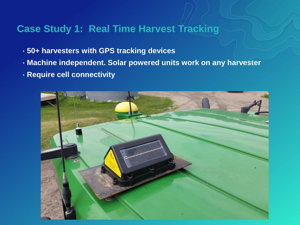
Case Study 1: Real Time Harvest Tracking
• 50+ harvesters with GPS tracking devices
• Machine independent. Solar powered units work on any harvester
• Require cell connectivity

Case Study 1: Real Time Harvest Tracking
• Database algorithms calculate harvested acres
• Eliminate turns, high speed, etc.

Case Study 1: Real Time Harvest Tracking
• Web maps display real-time progress
• Harvester progress merged with yield rates and tare for QC

Case Study 1: Real Time Harvest Tracking
• Reporting Dashboard >> acres and yield aggregated at field, region,
and corporate levels.
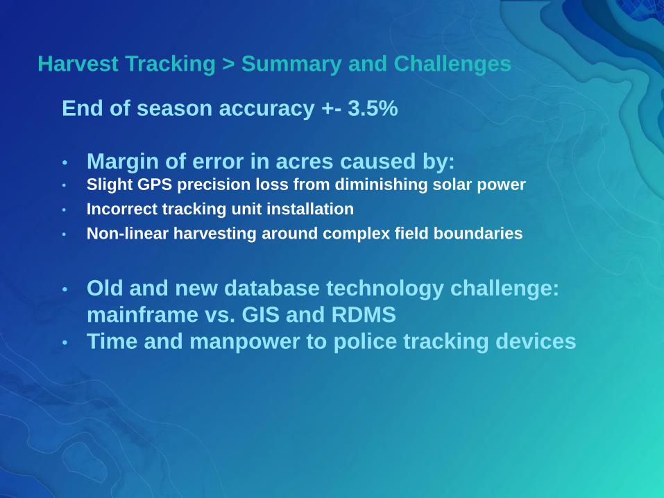
End of season accuracy +- 3.5%
• Margin of error in acres caused by:• Slight GPS precision loss from diminishing solar power
• Incorrect tracking unit installation
• Non-linear harvesting around complex field boundaries
• Old and new database technology challenge:
mainframe vs. GIS and RDMS
• Time and manpower to police tracking devices
Harvest Tracking > Summary and Challenges

Case Study 2: Field Data & Fertility ManagementCustom GIS solution mapping field, fertility analysis, and prescriptions.
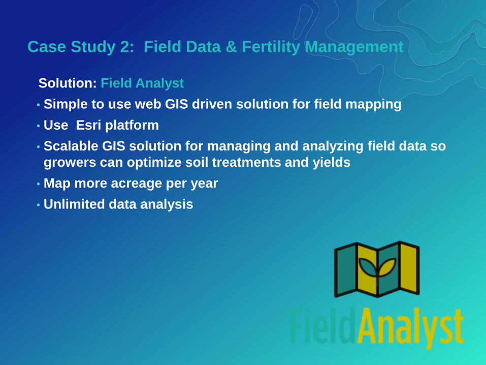
Case Study 2: Field Data & Fertility Management
Solution: Field Analyst
• Simple to use web GIS driven solution for field mapping
• Use Esri platform
• Scalable GIS solution for managing and analyzing field data so
growers can optimize soil treatments and yields
• Map more acreage per year
• Unlimited data analysis

Case Study 2: Field Data & Fertility Management
Primary Project Driver >> Data
Growers want ownership and control of their data
My Farm
My Data
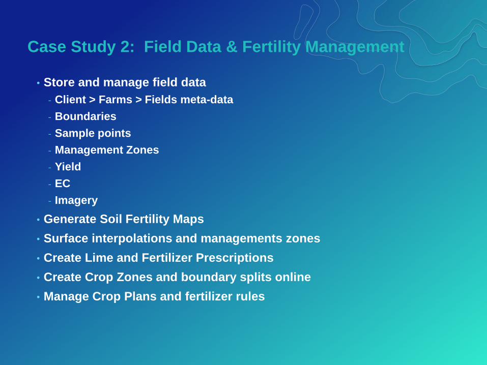
Case Study 2: Field Data & Fertility Management
• Store and manage field data
- Client > Farms > Fields meta-data
- Boundaries
- Sample points
- Management Zones
- Yield
- EC
- Imagery
• Generate Soil Fertility Maps
• Surface interpolations and managements zones
• Create Lime and Fertilizer Prescriptions
• Create Crop Zones and boundary splits online
• Manage Crop Plans and fertilizer rules
Case Study 2: Field Data & Fertility Management
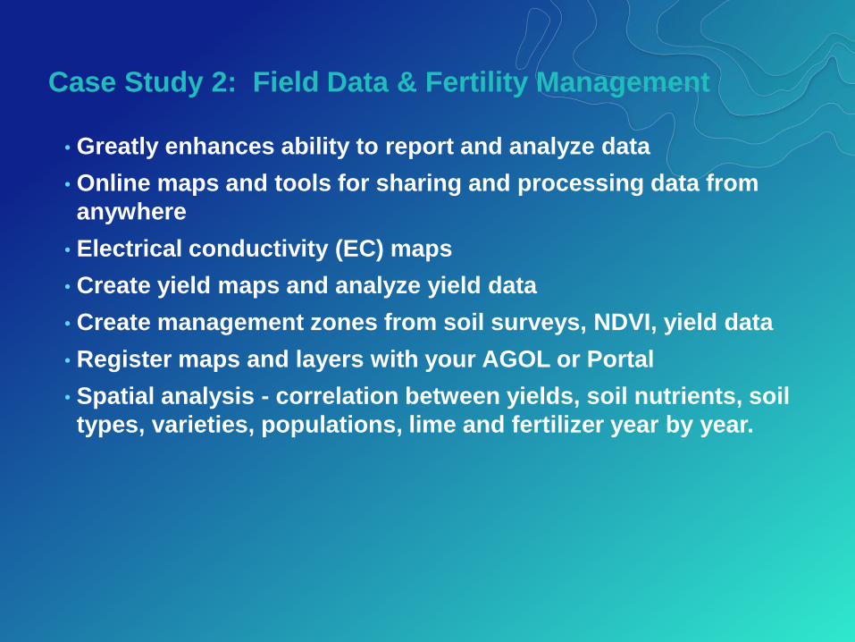
• Greatly enhances ability to report and analyze data
• Online maps and tools for sharing and processing data from
anywhere
• Electrical conductivity (EC) maps
• Create yield maps and analyze yield data
• Create management zones from soil surveys, NDVI, yield data
• Register maps and layers with your AGOL or Portal
• Spatial analysis - correlation between yields, soil nutrients, soil
types, varieties, populations, lime and fertilizer year by year.
Case Study 2: Field Data & Fertility Management
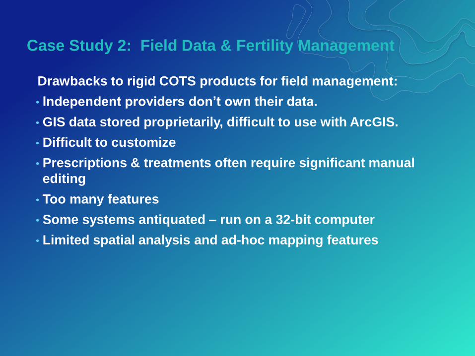
Drawbacks to rigid COTS products for field management:
• Independent providers don’t own their data.
• GIS data stored proprietarily, difficult to use with ArcGIS.
• Difficult to customize
• Prescriptions & treatments often require significant manual
editing
• Too many features
• Some systems antiquated – run on a 32-bit computer
• Limited spatial analysis and ad-hoc mapping features
Case Study 2: Field Data & Fertility Management
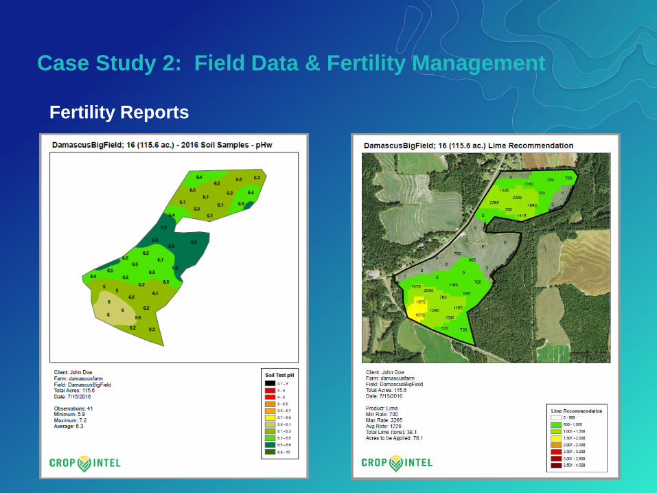
Fertility Reports

Case Study 2: Field Data & Fertility Management
Drag and Drop GIS data and lab data for upload
Case Study 2: Field Data & Fertility Management
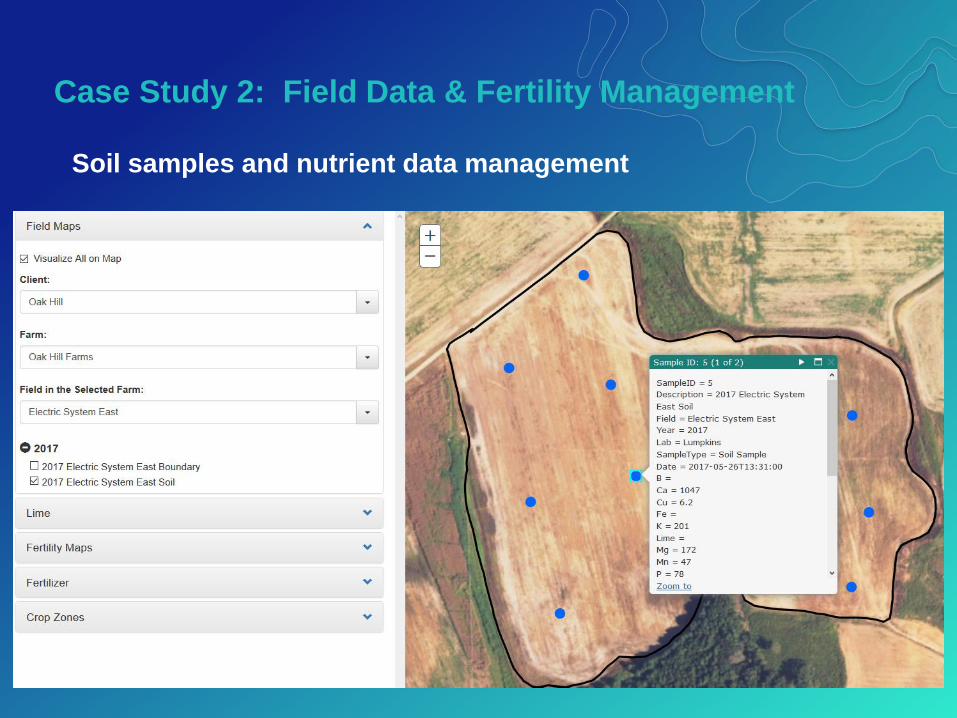
Soil samples and nutrient data management
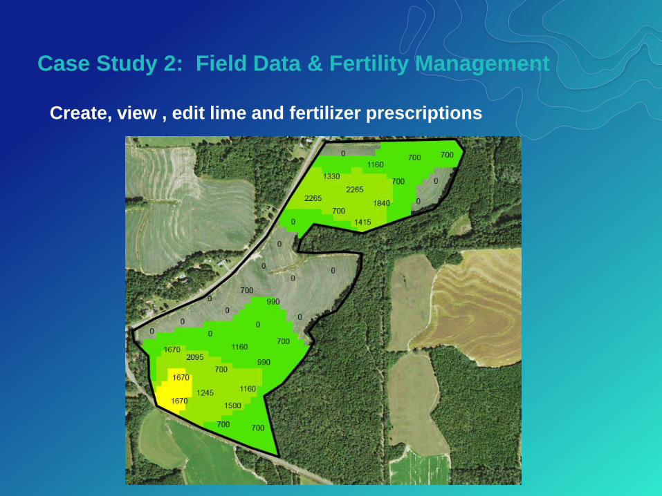
Case Study 2: Field Data & Fertility Management
Create, view , edit lime and fertilizer prescriptions
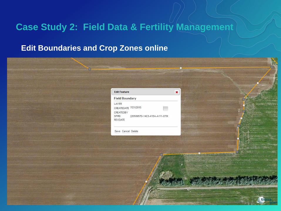
Case Study 2: Field Data & Fertility Management
Edit Boundaries and Crop Zones online

• Data is the biggest commodity
• Data = high value to apply analytics
• Storing data optimally is critical (database design)
• Technologists & agronomists must work cloely together
- GIS & programming experts are not agronomists… and vice - versa
• Fundamentally a workflow exercise
• Surface interpolation method debates
Field Analyst Project > Summary and Challenges

Contact us with any questions!
Kevin Knapp
Bryan Baker
www.tierraplan.com
Thank You!