u.s. department of the interior u.s. geological survey intergraph dot meeting asprs 2006 annual...
TRANSCRIPT

U.S. Department of the InteriorU.S. Geological Survey
Intergraph DOT MeetingASPRS 2006 Annual Conference Reno, Nevada
In-Situ Calibration Challenge to State DOTs

2
George Lee, PhotogrammetristCartographerDOQ Program ManagerExpert MarksmanHam Radio OperatorPhotographerWeight liferDinner Speaker (NOT!)
IntroductionIntroduction
3
Short beginning Shorter ending Leave out most of the middle
Guideline for Dinner SpeakersGuideline for Dinner Speakers
4
DOTs are special Traditional methods and new technologies I need your help
Why you?Why you?

5
Why does the USGS care about calibration?
Photogrammetric methods for map generation Map production primarily done in-house Quality assurance measure for aerial photography
from aerial contractors
BackgroundBackground

6
USGS Camera Calibration HistoryUSGS Camera Calibration History
USGS responsible for calibration services for film camera in United States since 1973
USGS operates Optical Sciences Lab (OSL) in Reston, VA with a custom-built calibration instrument
Current policy requires current (within 3 years) camera calibration report on file before award of contract
The “Catch-22” problem for digital sensors
7
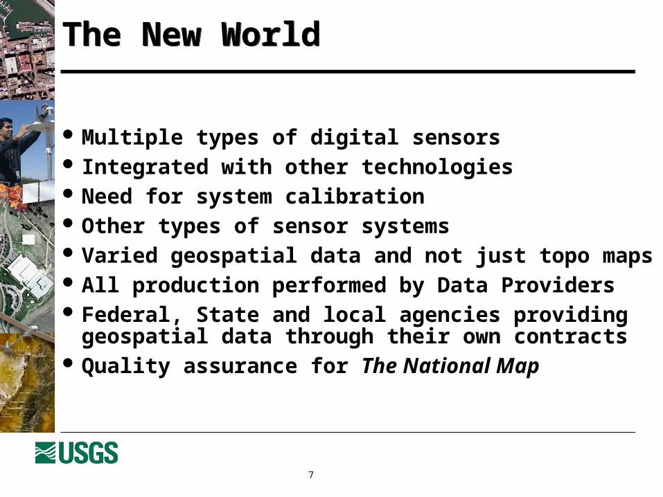
Multiple types of digital sensors Integrated with other technologies Need for system calibration Other types of sensor systems Varied geospatial data and not just topo maps All production performed by Data Providers Federal, State and local agencies providing geospatial
data through their own contracts Quality assurance for The National Map
The New WorldThe New World

9
Research grant to The Ohio State University Established Madison Test Calibration Range with
cooperation of Ohio DOT Initial in-situ calibration software delivered to USGS Testing methodology with Madison and other ranges
In-Situ CalibrationIn-Situ Calibration

10
MADISON CALIBRATION RANGEMADISON CALIBRATION RANGE

11
MADISON HIGH DENSITY RANGEMADISON HIGH DENSITY RANGE

12
USGS Plan for Quality AssuranceUSGS Plan for Quality Assurance
Four major parts covering two major processes:
Data Production: Manufacturers Certification Data Providers (flyers) Certification
Data Purchasing & Acceptance Contracting Guidelines Data Acceptance Standards

13
The USGS PlanThe USGS Plan
Data Procurement:
Contracting Guidelines & Boilerplate Tool
Data Users and Inspectors:
Acceptance Standards
Sensor Manufacturers:
Manufacturers Certification
Data Providers:
Data Providers Certification
User Needs
Data Procurement Domain
Data Generation Domain
Final Product

14
Manufacturers factory calibration parameters used Data Provider in-situ calibration for corrections Data Provider monitoring and “best practices” to
ensure metric quality of system
What does this mean for digital sensorsWhat does this mean for digital sensors

15
In-situ calibration Product characterization
The Only Reasonable SolutionThe Only Reasonable Solution
16
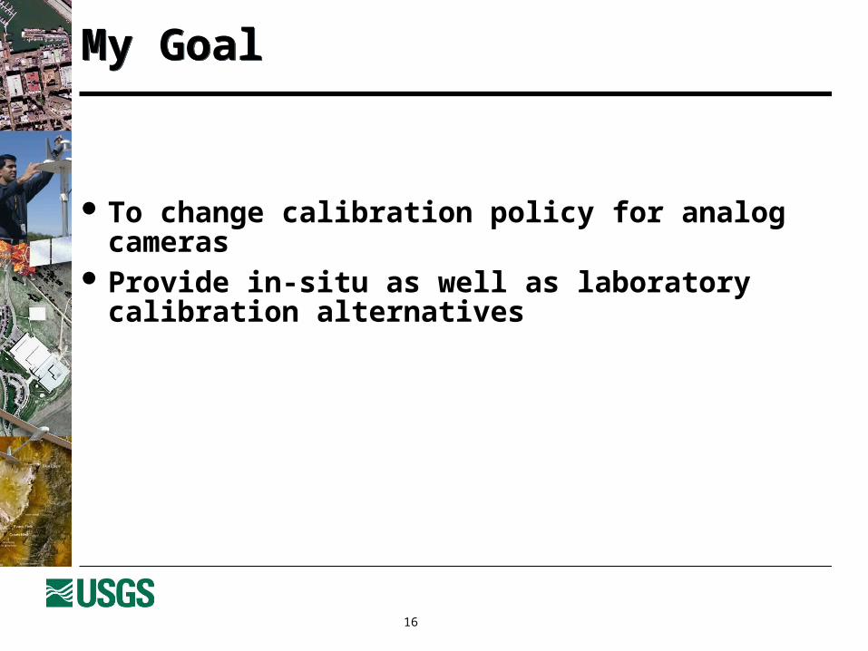
To change calibration policy for analog cameras Provide in-situ as well as laboratory calibration
alternatives
My GoalMy Goal
17
Pilot projects with 3 DOTs to test final results of in-situ calibration
USGS will provide new laboratory calibration at no cost
DOT to acquire data over a calibration range USGS to provide in-situ calibration parameters DOT to use old, new, and in-situ calibration in an
actual aerotriangulation job USGS and DOT to analyze results and report at future
forum
The ChallengeThe Challenge

18
Due for new calibration or recent calibration Have in-situ calibration range or near one Both digital and analog camera would be a plus, but
not necessary
Potential Players Potential Players

19
Contact:
George Y. G. Lee Photogrammetric Engineering Team Member
U.S. Geological SurveyMenlo Park, CA [email protected]
Interested?Interested?

20
Contact:
Gregory L. StensaasRemote Sensing Systems Characterization ManagerUSGS EROS Data Center47914 252nd StreetSioux Falls, SD [email protected]
Questions or issuesQuestions or issues

21
Questions or comments?
The In-Situ ChallengeThe In-Situ Challenge