trend in remote sensing technology for forest measurement & monitoring
DESCRIPTION
Trend in Remote Sensing Technology for Forest Measurement & Monitoring. Gen Takao CIFOR. Trees are …. It’s me!. big. Measurement is. a hard job. Visibility is. limited. Area is. vast. Changes occur. slowly & for long. Can be destroyed. instantly. Forest remote sensing. - PowerPoint PPT PresentationTRANSCRIPT

Trend in Remote Sensing Technology for Forest Measurement & Monitoring
Gen TakaoCIFOR

It’s me!big
Trees are …

Measurement is
a hard job
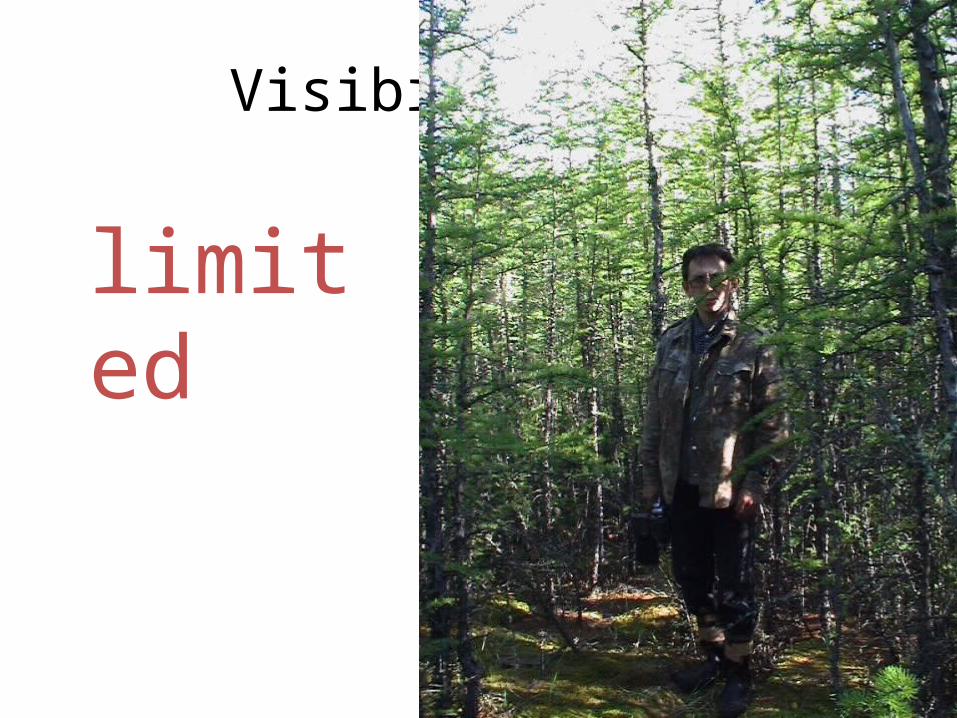
Visibility is
limited

Area isvast

Changes occurslowly & for long

Can be destroyedinstantly

Forest remote sensing
• simultaneity– can observe remote area at once
• periodicity– can observe repeatedly
• recordability– can observe retrospectively

Contents
• How do we measure forests using RS?
• Modern sensors and technique of RS
• Do we actually tell you the truth by RS?

Scales of forest and remote sensing
MODIS 分解能 500m グリッド 50 km
札幌
小樽
羊蹄山 支笏湖
グリッド 5 kmTM/ETM+ 分解能 30m x 1x 2x 4x 8x 16x 32x 64 グリッド 500 mx 128x 256IKONOS PS 分解能 1m x 512x 1024x 2048 グリッド 50 mx 4096

community
1day
10days
(3.3mt) 100days
(2.7yr) 1Kdays
(27.4yr) 10Kdays
1mt
1yr
10yr
1m 10m 100m 1km 10km 100km 1,000kmSpatial
Temporal
individ.trees
smallwatershed
largewatershed
Temporal & spatial scales ofthe sensors
LANDSATMSS/TM/ETM+
NOAAAVHRR
ALOSPRISM
Sensor
Operationlifetime
Observationfrequency
Spatial
resolution
Observation sw
ath
SPOTHRV-P
Terra/AquaMODIS
IKONOS/QuickBird

1 日
10 日
(3.3 月 ) 100 日
(2.7 年 ) 1 千日
(27.4 年 ) 1 万日
1 月
1 年
10 年
1m 10m 100m 1km 10km 100km 1,000km空間
時間
individ.trees
communitysmallwatershed
largewatershed
Temporal & spatial scales ofthe sensors
LANDSATMSS/TM/ETM+
NOAAAVHRR
ALOS PRISMSensor
Operationlifetime
Observationfrequency
Spatial
resolution
Observation sw
ath
SPOT HRV-P
Terra/AquaMODIS
IKONOS/QuickBird
LowMedHigh Sp
atial resolution

Trade-offs to date ofspatial and temporal resolution
• Low spatial resolution ( 100m)≧– Temporal: high globally
• Rapid changes in a wide area, e.g. phenology, fires
• Medium spatial resolution ( 10m)≧– Temporal: not so high globally
• Current condition/temporal changes of vegetation
• High spatial resolution ( < 10m)– Temporal: can be very high at specific targets, but
very low globally• Current condition of an area of interest

Relative size of the spatial resolution to the objects
• Resolution >> Object (L-resolution)– Averaged objects
• Forest canopy
• Resolution << Object (H-resolution)– A piece composing an
object• Individual tree crown
• Resolution ~ Object– Maximum variance
Crown sizes are so variable that often you cannot choose the relative size!

Why do we want to know forest?
• Because we want to manage it for us!
Conserve valuable ecosystems
See beautiful sceneries
Need timbers
Raise profits
Off-limit
Connect pts by walkways
Harvest, re- & afforestation
Slash & burn, golf courses
Aims / incentives Actions
Study the ecophysiology Experiments

Forest management, plan and measurement
A forest now A would-be forest
management
PlanningPlan
ImplementationDo
EvaluationSee
Inventory Monitoringmeasurement
Remote Sensing is Up!