the lake county experiment...– who has participated in gis day? – why did you participate? –...
TRANSCRIPT

The Lake County Experiment

• Questionnaire – Who has participated in GIS Day? – Why did you participate? – Did your participation involve Students? – How do you rate your interest in GIS?
A. It’s an interesting career B. I enjoy what I do C. I’m passionate about what I do

• Past experiences • Capture their interest • What’s missing • Where do you start • Collaboration is key • Icing on the cake • Handing out the prize • What we learned • For the future • Great compliments

• Freshman Foundations – 9th grade students – Focused on career choices – The mechanics on how to land a job – Utilizes business professionals from the
community to tell their story

• Presentation Focus – Who uses GIS (professions/businesses)
– What is GIS (parts & integration)
– When & How it is used (Geospatial Revolution Project)
– Where it is used (desktops, servers & smart phones)

• Attention span – Attention Deficit Disorder (ADD) – Sleep deprivation
• Generate interest • Force interaction • Solicit questions • Ask for feedback (teacher)

• Student engagement • Hands-on interaction • Dynamic map application
– ArcGIS Explorer Online

• Create a working group • Determine your team size • Understand your capabilities
– Technical & presentation skills • Establish your connections
– Top down or bottom up
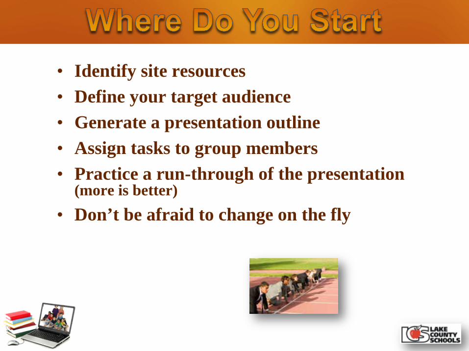
• Identify site resources • Define your target audience • Generate a presentation outline • Assign tasks to group members • Practice a run-through of the presentation
(more is better) • Don’t be afraid to change on the fly

• Establish a dialogue with Teachers – Ask about curriculum needs – Discuss what & where will they be studying at the
time of your presentation – Insist on the use of a computer lab – Demo ArcGIS Explorer Online – Help them set up an online global account – Provide assistance on establishing groups – Assure access to the Silverlight plugin
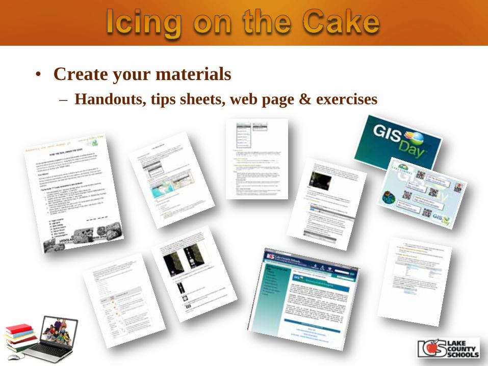
• Create your materials – Handouts, tips sheets, web page & exercises
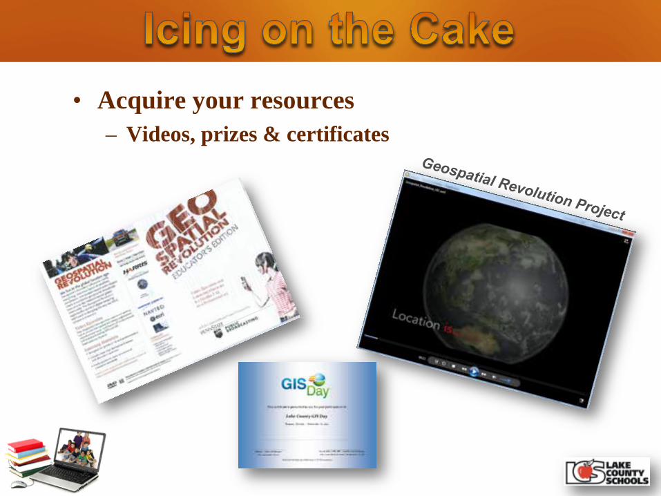
• Acquire your resources – Videos, prizes & certificates

• Build your presentation

• Provide your message

• Provide quick overview of GIS • Work on setting up accounts • Highlight functionally of ArcGIS
Explorer Online • Perform a formal class exercise • Spend time searching local layers • Provide time to experiment • Get out of the way

• One day or two day class model • High school vs. middle school • Set the stage and turn them loose • Keep spatial reference local • Allow 10 minutes for free style • Provide access to web resources

• Utilize Mobile Technologies

“I’ve rarely seen 100% engagement in any lesson activity as I have with ArcGIS Explorer Online. It was a great success!” Diane Reid-Goolsby, Teacher 6th Grade Geography
Teachers => http://bit.ly/Jr28sU
Students => http://bit.ly/IgJndD
Materials => http://bit.ly/Jw4c0b
Mark the Day: November 14, 2012
GIS Day => http://gisday.com/

Will Davis – [email protected]