the geography department
TRANSCRIPT
Dear Future Gopher, Your Geography teachers have compiled this work which will help to prepare you for the coming academic year. When discussing what we thought would benefit you the most, we decided that working with maps and learning vocabulary would be a great benefit to you. In years past, our students have struggled with knowing where countries are located and being able to describe the physical and political geography of a certain region; both are extremely important to your success on the STAAR.
We have found that mapmaking is much easier on large pieces of paper, and there is research that actually drawing a map is more effective than coloring one in. So while you’re drawing your maps, try to come up with ways to remember where countries are and what they’re physical geography is like. (For example, China looks like a rooster.)
While vocabulary is not the only thing that matters, it is essential for your understanding of World Geography. Once you have completed the vocabulary work, study the words. You can have your friends or family quiz you over the words. We are excited to meet you in August and hope that this work is a stepping stone to help you achieve success in the ninth grade. Have a great summer!
The Geography Department

PHYSICAL GEOGRAPHY VOCABULARY
For the following words, define the term, draw a picture, and use the word in a sentence.
WORD DEFINE IT DRAW IT USE IT
Tectonic Plates
Weathering
Sediment
Glacier
Orographic Effect/Rain Shadow
Typhoon
Tsunami
Ring of Fire
Tundra
Savanna
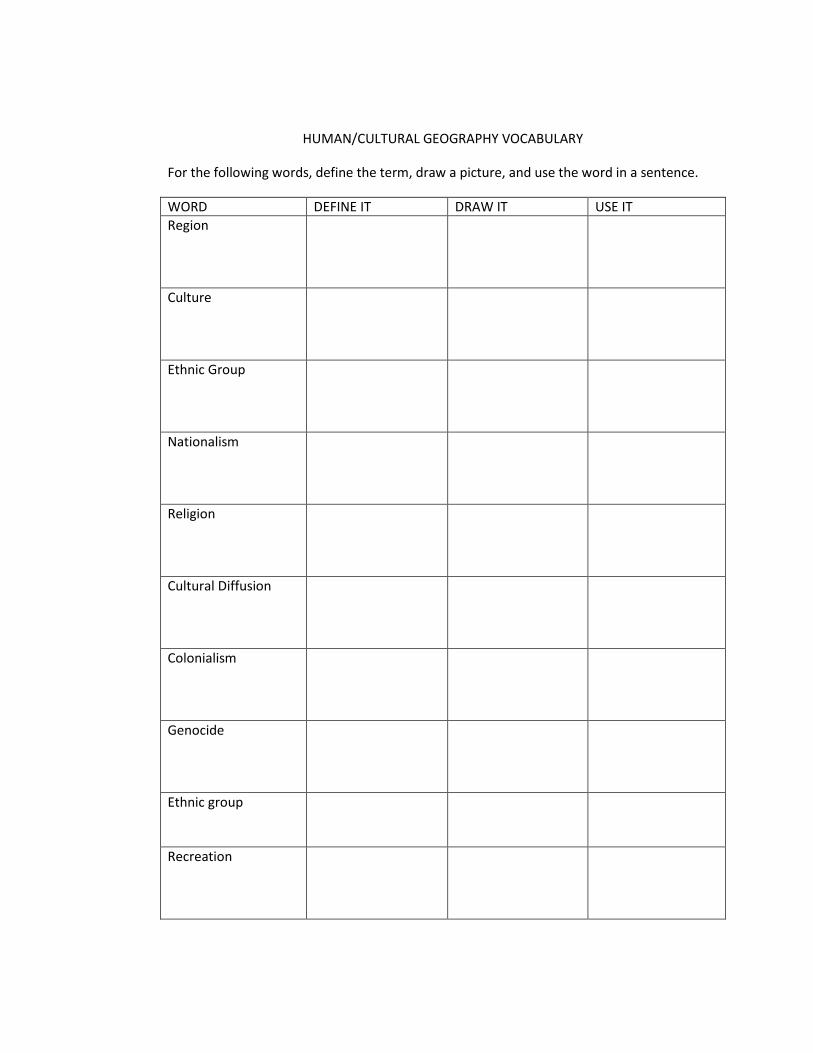
HUMAN/CULTURAL GEOGRAPHY VOCABULARY
For the following words, define the term, draw a picture, and use the word in a sentence.
WORD DEFINE IT DRAW IT USE IT
Region
Culture
Ethnic Group
Nationalism
Religion
Cultural Diffusion
Colonialism
Genocide
Ethnic group
Recreation

North America Map Activity
1. Draw an outline of North America and label all of the countries that are found in that region.
1. United States
2. Canada
2. Label the following physical features on your map.
a. Appalachian Mtns. f. Mississippi River
b. Great Plains g. Atlantic Ocean
c. Canadian Shield h. Pacific Ocean
d. Rocky Mtns. i. Gulf of Mexico
e. Great Lakes j. Rio Grande
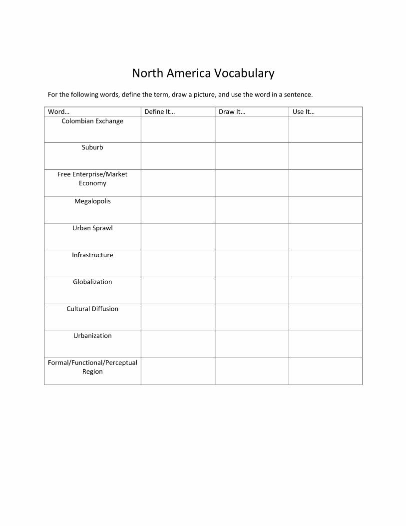
North America Vocabulary
For the following words, define the term, draw a picture, and use the word in a sentence.
Word… Define It… Draw It… Use It…
Colombian Exchange
Suburb
Free Enterprise/Market Economy
Megalopolis
Urban Sprawl
Infrastructure
Globalization
Cultural Diffusion
Urbanization
Formal/Functional/Perceptual Region

Latin America Map Activity
1. Draw an outline of Latin America and label all of the countries that are found in that region.
a. Mexico m. Cuba
b. Guatemala n. Jamaica
c. Belize o. Haiti
d. El Salvador p. Dominican Republic
e. Honduras q. Puerto Rico
f. Nicaragua r. Colombia
g. Costa Rica Panama s. Venezuela
h. Ecuador t. Paraguay
i. Peru u. Bolivia
j. Chile v. Brazil
k. Argentina w. Venezuela
l. Uruguay x. Guyana
2. Label the following physical features on your map.
a. Amazon River f. Pampas
b. Amazon Rainforest g. Llanos
c. Andes Mtns. h. West Indies
d. Yucatan Peninsula i. Orinoco River
e. Atacama Desert j. Sierra Madre Mtns.

Latin America Vocabulary
For the following words, define the term, draw a picture, and use the word in a sentence.
Word… Define It… Draw It… Use It…
Slash and Burn
Terrace Farming
Push/Pull Factors
NAFTA
Maquiladoras
Panama Canal
Cultural Hearth
Deforestation
Favelas/Slums
Haiti: Natural Disaster/cultural
characteristics

European Map Activity
3. Draw an outline of Europe and label all of the countries that are found in that region.
a. Albania q. Italy
b. Andorra r. Liechtenstein
c. Austria s. Luxembourg
d. Belgium t. Macedonia
e. Bosnia & Herzegovina u. Malta
f. Bulgaria w. Netherlands
g. Croatia x. Norway
h. Czech Republic y. Poland
i. Denmark z. Portugal
j. Finland aa. Romania
k. France bb. Spain
l. Germany cc. Sweden
m. Greece dd. Switzerland
n. Hungary ee. United Kingdom
o. Iceland ff. Vatican City
p. Ireland gg. Yugoslavia
4. Label the following physical features on your map.
a. Pyrenees f. Mediterranean Sea
b. Alps g. North Sea
c. Apennines h. Baltic Sea
d. English Channel
e. Atlantic Ocean

European Vocabulary
For the following words, define the term, draw a picture, and use the word in a sentence.
Word… Define It… Draw It… Use It…
Fjord
North American Drift
Polder
Crusades
Renaissance
Feudalism
Holocaust
Berlin Wall
Parliament
euro

Russia and the Republics Map Activity
3. Draw an outline of Russia and the Republics and label all of the countries that are found in that
region.
a. Armenia h. Latvia
b. Azerbaijan i. Lithuania
c. Belarus j. Moldova
d. Estonia k. Russia
e. Georgia l. Tajikistan
f. Kazakhstan m. Ukraine
g. Kyrgyszstan n. Uzbekistan
4. Label the following physical features on your map.
a. Arctic Ocean c. Siberia e. Caspian Sea
b. Black Sea d. Black Sea f. Ural Mountains

Russia and the Republics Vocabulary
For the following words, define the term, draw a picture, and use the word in a sentence.
Word… Define It… Draw It… Use It…
continentality
Taiga
Czar
USSR
Cold War
Command economy
Red Army
Nomad
Yurt
Collective farm

SOUTHWEST ASIA
Part I – Draw the map of the Southwest Asia Region include both political features (countries, capitals, boundaries) and physical features (mountains, rivers, valleys, plains) Afghanistan: Kabul Mediterranean Sea Bahrain: Manama Red Sea Cyprus: Nicosia Suez Canal Iran: Tehran Gulf of Aden Iraq: Baghdad Arabian Sea Israel: Jerusalem Indian Ocean Jordan: Amman Persian Gulf Kuwait: Kuwait City Strait of Hormuz Lebanon: Beirut Tigris River Oman: Muscat Euphrates River Qatar: Doha Nile River Saudi Arabia: Riyadh Dead Sea Syria: Damascus Turkey: Ankara United Arab Emirates: Abu Dhabi Yemen: Sanaa

SOUTHWEST ASIA VOCABULARY
For the following words, define the term, draw a picture, and use the word in a sentence.
WORD DEFINE IT DRAW IT USE IT
Tigris River
Euphrates River
Oasis
Desalination
Refinery
Mecca
Islam
Sunni
Shiite
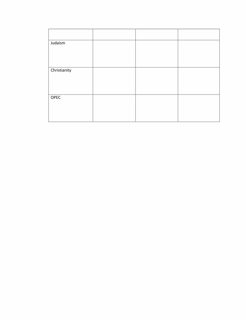
Judaism
Christianity
OPEC

SUB SAHARAN MAP ACTIVITY
1. Draw an outline of Africa and label all of the following countries.
a. Senegal b. Guinea c. Sierra Leone d. Nigeria
e. Cameroon f. Dem. Rep. of Congo g. Rep. of Congo h. Uganda
i. Rwanda j. Kenya k. Tanzania l. Angola
m. Zambia n. Mozambique o. Namibia p. Madagascar
q. Botswana r. South Africa s. Zimbabwe
2. Label the following physical features on your map.
a. Lake Victoria b. Great Rift Valley c. Horn of Africa
d. Kalahari Desert e. Namib Desert f. Congo River
g. Mt. Kilimanjaro h. Ethiopian Plateau i. Serengeti Plain

SUB SAHARAN VOCABULARY
For the following words, define the term, draw a picture, and use the word in a sentence.
WORD DEFINE IT DRAW IT USE IT
Plateau
Rift valleys
Escarpment
Canopy
Cash crops
Pandemic
Stateless society
Apartheid
Commodity
Diversity

SOUTH ASIA
Part I – Draw a map of the South Asia Region and include both political features (capitals, countries, borders) and physical features (mountains, rivers, valleys, plains) Bangladesh Bhutan India Pakistan Sri Lanka Maldives Nepal Mountains Hindu Kush Karakoram Range Western Ghats Eastern Ghats Himalayas Mount Everest Satpura Range Rivers Ganges River Indus River Narmada River Mahanadi River Godavari River Krishna River Brahmaputra River Bodies of Water Arabian Sea India Ocean Bay of Bengal Other Features Andaman Islands Nicobar Islands Deccan Plateau Thar Desert Kathmandu Valley Sundarbans Maldives

SOUTH ASIA VOCABULARY
For the following words, define the term, draw a picture, and use the word in a sentence.
WORD DEFINE IT DRAW IT USE IT
Subcontinent
Monsoon
Cyclone
Hinduism
Storm surge
Caste System
Partition
Nonviolent resistance
microcredit

East Asian Map Activity
1. Draw an outline of East Asia and label all of the countries that are found in that region.
a. China d. South Korea
b. Mongolia e. North Korea
c. Taiwan f. Japan
2. Label the following physical features on your map.
a. Plateau of Tibet f. Huang He (Yellow) River
b. Gobi Desert g. East China Sea
c. Himalaya Mountains h. Sea of Japan
d. Mt. Fuji i. Yellow Sea
e. North China Plain j. South China Sea
East Asian Vocabulary
For the following words, define the term, draw a picture, and use the word in a sentence.
Word… Define It… Draw It… Use It…
Tsunami
Great Wall of China
Typhoon
Three Gorges Dam
Free Trade Zones (FTZ)
Confucianism
Buddhism
Free Market Economy
Overcrowding
Command Economy

SOUTHEAST ASIA MAP ACTIVITY
1. Draw an outline of Southeast Asia and label all of the following countries in that region.
a. Myanmar b. Laos c. Vietnam d. Thailand
e. Cambodia f. Malaysia g. Indonesia h. Philippines
2. Label the following physical features on your map.
a. Mekong River b. Malay Peninsula c. Java

SOUTHEAST ASIA VOCABULARY
For the following words, define the term, draw a picture, and use the word in a sentence.
WORD DEFINE IT DRAW IT USE IT
ASEAN
Indochina
Industrialization
Push-pull factors
High island
Low island
Terraced farming
Mandala
Krakatoa
Subsistence activities

Oceania Map Activity
1. Draw an outline of East Asia and label all of the countries that are found in that region.
a. Australia d. Antarctica
b. New Zealand e. Papua New Guinea
2. Label the following physical features on your map.
a. Ayers Rock (Uluru) f. Pacific Ocean
b. Great Dividing Range g. Indian Ocean
c. Polynesia h. Coral Sea
d. Micronesia i. Tasman Sea
e. Melanesia j. Arafura Sea
Oceania Vocabulary
For the following words, define the term, draw a picture, and use the word in a sentence.
Word… Define It… Draw It… Use It…
Archipelago
Great Barrier Reef
Outback
Atoll
Penal Colony
Aborigine
Ring of Fire
Ayers Rock (Uluru)
Volcanoes
Lagoon

World Geography Websites http://games.nationalgeographic.com/ Play games and learn trivia on the National Geographic website. http://freerice.com/category Play geography games on this website sponsored by the United Nations World Food Programme and donate 10 grains of rice for every correct answer! www.3rdworldfarmer.com Play this simulation game and learn what life is like as a 3
rd world farmer.
http://geography.about.com/ Explore geography in this comprehensive website about geographic concepts. http://www.sheppardsoftware.com/Geography.htm Play games that review capitals and country locations around the world. http://www.geography4kids.com/ Learn about physical geography on this website. http://www.physicalgeography.net/ Learn in-depth information about physical geography and play games.