the delta envisioning support tool integrated planning and design in the delta
TRANSCRIPT

The Delta Envisioning Support Tool
Integrated Planning and Design in the Delta

Outline
1. What about the Netherlands? safe but unnatural
2. Significance of a new approach: connecting people & interests
3. Surprising Solutions: safe and natural
4. Conclusion/discussion: promising but complex

1750 1850
1950 2010
explosive and vulnerable
1. What about the Netherlands?

1. What about the Netherlands?
The Netherlands are extremely vulnerable,
because it is a densely populated area where 60 % live under sea level

1. What about the Netherlands?Severe floods in the years:
838
1170 – 1196
1214 – 1219 – 1262 – 1287
1334 – 1375
1404 – 1421 – 1424
1530 – 1532 – 1570
1675 – 1686
1703 - 1716 – 1717
1808 - 1825 – 1849 – 1855
1906 – 1916 – 1926 – 1944 - 1953

© IPDD Nijhuis & Pouderoyen
1953 A big storm flooded the South West part of the Netherlands
Strait o
f Dover

Now NL is safe. Ports and agriculture flourish …

But this comes at a price …

50 AD 1750
1300 1900
Land & Water
Dikes and polders
Ports
Urban patterns
Agriculture
We see the Dutch delta as a Complex Adaptive SystemWith contradicting interests and different rhythms9 subsystems © IPDD TU Delft Urbanism / MUST Stedebouw
2. Significance of a new approach

The delta as a Complex Adaptive System

The delta as a Complex Adaptive System

9 subsystems in different interaction to each other

Many different interests:
stakeholdersambitionsinsights issuesplans
Some scheduling problems:
Scale differencesLong term - short term tensions

But also (hidden) opportunities:
Co-operation possibilitiesInterests coming together
Changing conditionsProgressive insight
Flood-defense
UrbanizationPort-economy
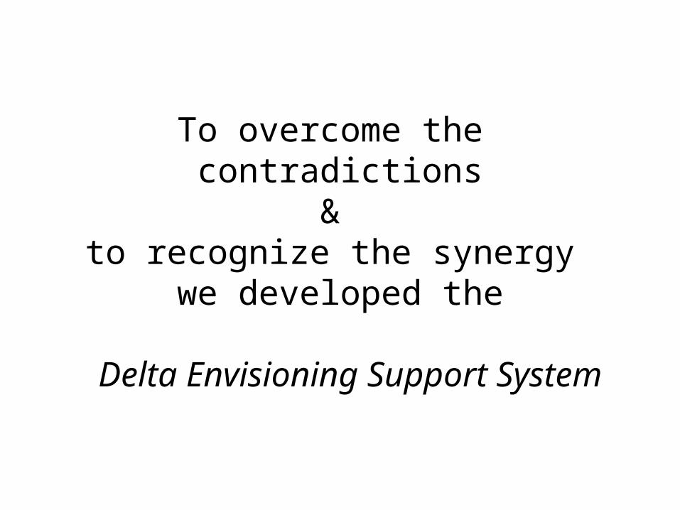
To overcome the contradictions
& to recognize the synergy
we developed the
Delta Envisioning Support System

DENVIS is set up as: 1. a design Studio 2. with decision support techniques,3. around a geo-design setting as used in serious gaming
16

DENVIS game rounds:
1. Joint fact-finding 1 around tasks and ambitions:• What do they see as the core values of the area
and the challenges?• The individual stakeholders share their ambitions• Together they select the main challenges/tasks for
the area
2. Joint fact-finding 2: detecting synergies and conflicts

DENVIS game rounds:
3. Envisioning: • Connecting short term initiatives to long
term solutions• Debating the synergies• ‘Mapping’ solutions & agreements• Result: a shared vision
4. Implementation • Discussing the relevant governance
arrangements• How to get on?

??
?
Long term uncertainties: Future discharges 12,000 m3/sec ? Or >18.000 ?
Confront characteristics of the long-term delta issues
Local scale: many different initiatives
With the actual interests and positions

based on initiatives 1990 – 2010

Temporary water storage between dikes

Tidal movement restore

New nature networks

New urban settlements by old port channels

Recreation … and 50 more thinkable interventions

Solutions found Information and knowledge are linked to ideas and interests

27
3. Surprising solutions
Particularly promising are the edges of the islands. Around the islands in the estuary are usually several levees in succession, due to the gradual reclamation

EMU project Joon Kim 2012
Between those levees we find areas where various new forms of land/water transitions seems possible

4. Discussion
DENVIS: connecting people – interests – solutions – short term/long term – scales
DENVIS is an integration tool: > Using design methods> Using a touchtable> Using stakeholder analysis and participationHow does it fit in the UDW project?
DENVIS is a complex tool. It needs a lot af preparation and expert guidance
What is the relevance of the tool in the Bangladesh Delta Plan process?