southeast transportation consortium
TRANSCRIPT

Final Report 511
STC Synthesis of Research Results for
Water Quality Management at Construction Sites
by
Alexander M. AguilarRichard H. Sheffi eld, P.E.Wilfred M. Welch, III, RPG
Thompson Engineering
4101 Gourrier Avenue | Baton Rouge, Louisiana 70808 | (225) 767-9131 | www.ltrc.lsu.edu
Southeast Transportation Consortium
Published by:

1. Report No. FHWA/LA.13/511
2. Government Accession No. 3. Recipient's
Catalog No.
4. Title and Subtitle STC Synthesis of Research Results for Water Quality
Management at Construction Sites
5. Report Date January 2014
6. Performing Organization Code LTRC Project Number: 12-5PF
State Project Number: 30000543
7. Author(s)
Alexander M. Aguilar, Richard H. Sheffield, and Wilfred M.
Welch, III
8. Performing Organization Report No.
9. Performing Organization Name and Address
Thompson Engineering
100 Business Park Drive, Suite G
Ridgeland, MS 39157
10. Work Unit No.
11. Contract or Grant No.
12. Sponsoring Agency Name and Address
Louisiana Department of Transportation and
Development
P.O. Box 94245
Baton Rouge, LA 70804-9245
13. Type of Report and Period Covered
Final Report May 2012-April 2013
14. Sponsoring Agency Code
15. Supplementary Notes
Conducted in Cooperation with the U.S. Department of Transportation, Federal Highway Administration
16. Abstract
The United States Environmental Protection Agency (EPA) lists sediment as the most common pollutant in U.S. streams, rivers, lakes, and
reservoirs. This is of significant importance to state Departments of Transportation (DOT) due to the large amount of construction necessary to
maintain and improve interstate and intrastate public roadways. As part of construction, soils are frequently exposed due to the removal of
vegetative cover. Unimpeded, sediment is transported to waters of the state, where deposition may cause a problem for aquatic organisms in the
receiving waterways. Sediment is known to disrupt fish populations and aquatic plants and promote the growth of nuisance algae. Sediment may
also be a carrier for chemical contamination. In March 2012, Thompson Engineering contracted with the Louisiana Transportation Research
Center (LTRC) to perform a synthesis of research results on water quality management at construction sites within the Southeastern
Transportation Consortium member states. This report presents the results of the research. While states in the southeastern U.S. have performed
research on the subject of erosion and sediment management, there is still a need to take a closer look at management practices that will improve
water quality at department of transportation construction sites. This report is an overview of recent research that has been performed or funded by
state level DOTs in the southeastern United States. The primary source of information for this report comes from literature obtained from
individual DOT databases or the Transportation Research Board database. Additionally, a questionnaire was sent to 12 states located in the
southeastern United States: Alabama, Arkansas, Florida, Georgia, Kentucky, Louisiana, Mississippi, North Carolina, South Carolina, Tennessee,
Virginia, and West Virginia. The following nine states responded to the questionnaire Alabama, Arkansas, Florida, Georgia, Louisiana,
Mississippi, North Carolina, South Carolina, and Virginia. Research that is ongoing is not included. Responses from the questionnaire indicate
that the DOTs are making an effort in managing erosion and sediment at construction sites. All responding states indicate that they have
stormwater training or monitoring programs in place. Additionally, literature regarding erosion and sedimentation was found from most states. A
wide variety of research has been performed throughout the southeastern United States. Topics ranging from vegetative cover to individual best
management practice (BMP) design and performance assessments have been studied with varied results. In the case that water quality degradation
is eminent, the mitigation process has also been studied. The most recent research available was collected from Alabama, Arkansas, Florida,
Georgia, Kentucky, Mississippi, North Carolina, Tennessee, Virginia, and West Virginia. Although DOTs are making efforts through research
and management programs, there is still a need to continue improving construction impacts on bodies of water. More research regarding specific
BMPs, site planning, training programs and systematic approaches would greatly benefit the DOTs in the effort to control or eliminate sediment
loss at construction sites.
17. Key Words
water quality, road construction impacts, turbidity, erosion control,
sediment management, best management practice, BMP
18. Distribution Statement Unrestricted. This document is available through the
National Technical Information Service, Springfield, VA
21161. 19. Security Classif. (of this report)
20. Security Classif. (of this page)
21. No. of Pages
57 22. Price
TECHNICAL REPORT STANDARD PAGE


Project Review Committee
Each research project will have an advisory committee appointed by the LTRC Director. The
Project Review Committee is responsible for assisting the LTRC Administrator or Manager
in the development of acceptable research problem statements, requests for proposals, review
of research proposals, oversight of approved research projects, and implementation of
findings.
LTRC appreciates the dedication of the following Project Review Committee Members in
guiding this research study to fruition.
LTRC Administrator/Manager
Kirk Zeringue, P.E.
Special Studies Research Manager
Members
Mrinmay Siwas, North Carolina DOT
Joe Crabtree , Kentucky Transportation Research Center
James Watkins, Mississippi DOT
Jeff Brown, Alabama DOT
Joubert Harris, Louisiana DOTD


STC Synthesis of Research Results for Water Quality
Management at Construction Sites
by
Alexander M. Aguilar
Richard H. Sheffield, P.E.
Wilfred M. Welch, III, RPG
Thompson Engineering
100 Business Park Drive, Suite G
Ridgeland, MS 39157
LTRC Project No. 12-5PF
State Project No. 30000543
conducted for
Louisiana Department of Transportation and Development
Louisiana Transportation Research Center
The contents of this report reflect the views of the author/principal investigator who is
responsible for the facts and the accuracy of the data presented herein. The contents of do
not necessarily reflect the views or policies of the Louisiana Department of Transportation
and Development, the Federal Highway Administration, or the Louisiana Transportation
Research Center. This report does not constitute a standard, specification, or regulation.
January 2014


i
TABLE OF CONTENTS
TABLE OF CONTENTS ............................................................................................................. ii
LIST OF FIGURES AND TABLES ............................................................................................ ii
EXECUTIVE SUMMARY ......................................................................................................... iii
INTRODUCTION......................................................................................................................... 5
SURVEY RESULTS ..................................................................................................................... 5
Section 1 Respondent Information .............................................................................................. 6
Section 2 General ........................................................................................................................ 6
Section 3 Project Specific ........................................................................................................... 8
RESEARCH .................................................................................................................................. 9
Alabama ....................................................................................................................................... 10
Arkansas ...................................................................................................................................... 14
Florida .......................................................................................................................................... 15
Georgia ......................................................................................................................................... 17
Kentucky ...................................................................................................................................... 19
Mississippi .................................................................................................................................... 20
North Carolina ............................................................................................................................ 21
Tennessee ..................................................................................................................................... 24
Virginia ........................................................................................................................................ 24
West Virginia ............................................................................................................................... 26
CONCLUSIONS AND RECOMMENDATIONS .................................................................. 289
APPENDIX A ............................................................................................................................ A-1
APPENDIX B........................................................................................................................................................B‐1
ii
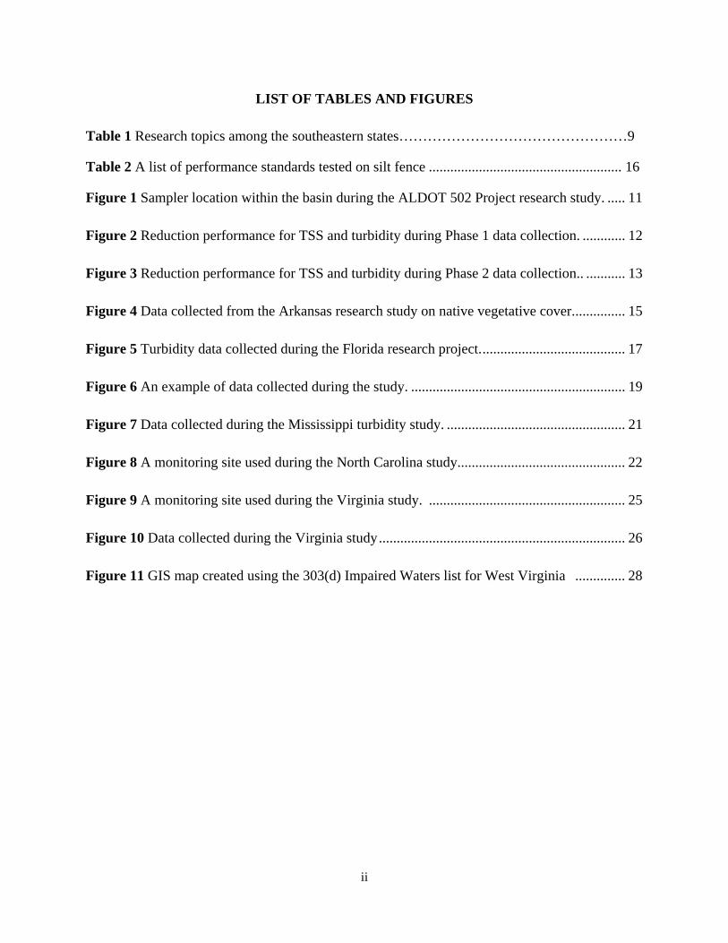
LIST OF TABLES AND FIGURES
Table 1 Research topics among the southeastern states…………………………………………9
Table 2 A list of performance standards tested on silt fence ...................................................... 16
Figure 1 Sampler location within the basin during the ALDOT 502 Project research study. ..... 11 Figure 2 Reduction performance for TSS and turbidity during Phase 1 data collection. ............ 12 Figure 3 Reduction performance for TSS and turbidity during Phase 2 data collection.. ........... 13 Figure 4 Data collected from the Arkansas research study on native vegetative cover. .............. 15 Figure 5 Turbidity data collected during the Florida research project. ........................................ 17 Figure 6 An example of data collected during the study. ............................................................ 19 Figure 7 Data collected during the Mississippi turbidity study. .................................................. 21 Figure 8 A monitoring site used during the North Carolina study............................................... 22 Figure 9 A monitoring site used during the Virginia study. ....................................................... 25 Figure 10 Data collected during the Virginia study ..................................................................... 26 Figure 11 GIS map created using the 303(d) Impaired Waters list for West Virginia .............. 28
iii
EXECUTIVE SUMMARY
The United States Environmental Protection Agency (EPA) lists sediment as the most common pollutant in U.S. streams, rivers, lakes, and reservoirs. This is of significant importance to state Departments of Transportation (DOT) due to the large amount of construction necessary to maintain and improve interstate and intrastate public roadways.
As part of construction, soils are frequently exposed due to the removal of vegetative cover. Unimpeded, sediment is transported to waters of the state, where deposition may cause a problem for aquatic organisms in the receiving waterways. Sediment is known to disrupt fish populations and aquatic plants and promote the growth of nuisance algae. Sediment may also be a carrier for chemical contamination.
In March 2012, Thompson Engineering contracted with the Louisiana Transportation Research Center (LTRC) to perform a synthesis of research results on water quality management at construction sites within the Southeastern Transportation Consortium member states. This report presents the results of the research.
While states in the southeastern U.S. have performed research on the subject of erosion and sediment management, there is still a need to take a closer look at management practices that will improve water quality at department of transportation construction sites.
This report is an overview of recent research that has been performed or funded by state level DOTs in the southeastern United States.
The primary source of information for this report comes from literature obtained from individual DOT databases or the Transportation Research Board database. Additionally, a questionnaire was sent to 12 states located in the southeastern United States: Alabama, Arkansas, Florida, Georgia, Kentucky, Louisiana, Mississippi, North Carolina, South Carolina, Tennessee, Virginia, and West Virginia. The following nine states responded to the questionnaire Alabama, Arkansas, Florida, Georgia, Louisiana, Mississippi, North Carolina, South Carolina, and Virginia. Research that is ongoing is not included.
Responses from the questionnaire indicate that the DOTs are making an effort in managing erosion and sediment at construction sites. All responding states indicate that they have stormwater training or monitoring programs in place. Additionally, literature regarding erosion and sedimentation was found from most states.
A wide variety of research has been performed throughout the southeastern United States. Topics ranging from vegetative cover to individual best management practice (BMP) design and performance assessments have been studied with varied results. In the case that water quality degradation is eminent, the mitigation process has also been studied. The most recent research

iv
available was collected from Alabama, Arkansas, Florida, Georgia, Kentucky, Mississippi, North Carolina, Tennessee, Virginia, and West Virginia.
Although DOTs are making efforts through research and management programs, there is still a need to continue improving construction impacts on bodies of water. More research regarding specific BMPs, site planning, training programs and systematic approaches would greatly benefit the DOTs in the effort to control or eliminate sediment loss at construction sites.

5
INTRODUCTION
In 2009 the United States Environmental Protection Agency (EPA) published the first ever numeric turbidity limit in its Effluent Limitation Guidelines as part of the General Construction Permit. The numeric limit of 280 NTU was later stayed due to a miscalculation and has recently been withdrawn because of a lawsuit with the Utility Water Act Group and the National Association of Home Builders. This, however, has resulted in an increased interest in research on the topic of erosion and sediment management at construction sites.
Turbidity is defined by the EPA as “the cloudy appearance of water caused by the presence of suspended and colloidal matter” (epa.gov). Turbid waters near construction sites can be directly linked to sediment loss at the construction site. Modern construction practices attempt to reduce sediment leaving the site by including site specific Erosion Control Plans (ECP) that outline specific phases of construction and erosion and sedimentation best management practices (BMP) during each phase. Perhaps the most effective means for controlling erosion and sedimentation is limiting the amount of disturbed land at a given point in time during construction.
In March 2012, Thompson Engineering contracted with the Louisiana Transportation Research Center (LTRC) to perform a synthesis of research results on water quality management at construction sites within the Southeastern Transportation Consortium member states. This report presents the results of the research.
The following will describe individual state research efforts on the topic of erosion and sedimentation management. Information for this report was obtained from publicly accessible literature found on either DOT websites or the Transportation Research Board Database. Information obtained from a completed survey/questionnaire that was sent to contacts at southeastern states DOTs is also included.
SURVEY RESULTS
Current state-of-the-practice information was obtained from each state through the use of a survey/questionnaire. A 16 question survey was prepared and delivered to contacts in each state. Questions from the survey were separated into three categories: Respondent Information, General, and Project Specific. Results from the questionnaire were used to determine the commonality of practice among the states and areas where others may be lacking. The following paragraphs are a listing of survey questions with a brief description of responses. A compilation of survey results with graphical representations of responses is provided in Appendix A. Completed individual surveys are provided in Appendix B.

6
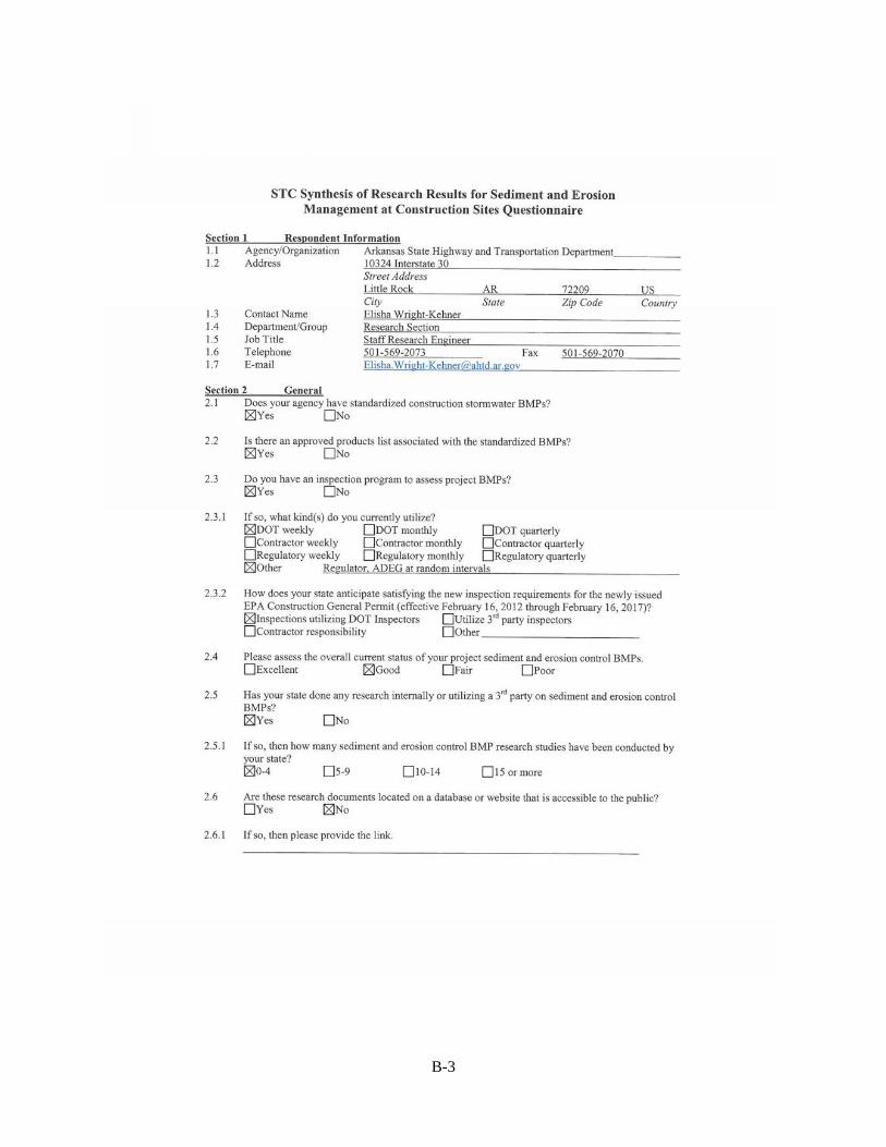
Section 1 Respondent Information Alabama—Jeff W. Brown, Bureau Chief, Research and Development, Alabama Department of Transportation
Arkansas—Elisha Wright-Kehner, Staff Research Engineer, Research Section, Arkansas State Highway and Transportation Department
Florida—Rick Renna and Mr. Larry Ritchie, Hydraulics Design/Construction, Florida Department of Transportation
Georgia—Jon D. Griffith, Design Engineer, Hydraulics Department, Georgia Department of Transportation
Louisiana—Danny Smith, Construction Systems Engineer, Construction Section, Louisiana Department of Transportation& Development
Mississippi—John C. Taylor, Engineer IV, Roadway Design Division, Mississippi Department of Transportation
North Carolina—David Harris, State Roadside Erosion Control and Vegetation Management Engineer, Roadside Environmental Unit, North Carolina Department of Transportation
South Carolina—Ray Vaughn, Stormwater Manager, Preconstruction Support, South Carolina Department of Transportation
Virginia—Mike Fitch, Research Scientist, Center For Transportation Innovation and Research, Virginia Department of Transportation
Section 2 General 2.1 Does your agency have standardized construction stormwater BMPs?,
2.2 Is there an approved products list associated with the standardized BMPs?and
2.3 Do you have an inspection program to assess project BMPs?
Responses to 2.1-2.3 indicate that standardized stormwater BMPs are chosen from an approved products list in each state. Additionally, all responding agencies indicated that they have inspection processes in place to assess project BMPs.
2.3.1 If so, what kind(s) do you currently utilize?
Responses indicate that all responding agencies have an inspection program in place. However, responsibility for the inspection process varies between DOT, contractor, or regulatory agency. Six responses indicate that DOT weekly inspections are required and four require monthly. Four responses indicate that responsibility lies on the contractor to perform weekly inspections. Responses indicate that regulatory agencies are responsible for monthly inspections in only two

7
states (Virginia and North Carolina). Five responses indicate that other methods of inspection are used in addition to the answer choices.
2.3.2 How does your state anticipate satisfying the new inspection requirements for the newly issued EPA Construction General Permit (effective February 16, 2012 through February 16, 2017)?
Virginia and North Carolina indicated that they will use both DOT inspectors and place responsibility on the contractor. Additionally, Virginia will use third party inspectors. Arkansas indicated that they will use DOT inspectors, while Florida indicated that inspections will be the responsibility of the contractor.
2.4 Please assess the overall current status of your project sediment and erosion control BMPs.
All responding states indicate that they believe that their status is “Good.” North Carolina answered both “Good” and “Excellent.”
2.5 Has your state done any research internally or utilizing a 3rd party on sediment and erosion control BMPs?
All states responded “Yes” with the exception of Louisiana. Joubert Harris stated that LADOTD has not performed research on the subject.
2.5.1 If so, then how many sediment and erosion control BMP research studies have been conducted by your state?
Alabama, Arkansas, and South Carolina indicated that they have performed 0-4 research studies. Virginia and North Carolina indicate that there have been 5-9 research studies conducted within their state DOTs. Florida indicated that 10-14 research studies have been conducted. Georgia indicated that at least 15 studies have been conducted.
2.6 Are these research documents located on a database or website that is accessible to the public?
Florida, Georgia, North Carolina, Virginia, and Alabama indicated that their previous research documents are available to the public. The links to these can be found in the following question:
2.6.1 If so, then please provide the link.
Florida—http;//stormwater.ucf.edu/research_publications.asp Georgia—www.dot.ga.gov/doingbusiness/research/projects/Pages/default.aspx N. Carolina—www.ncdot.gov/doh/preconstruction/tpb/research/ Virginia—www.virginia.org/vtrc/main/online_reports/pdf/00-cr2.pdf www.virginia.org/vtrc/main/online_reports/pdf/01-r7.pdf Alabama—http://trid.trb.org/

8
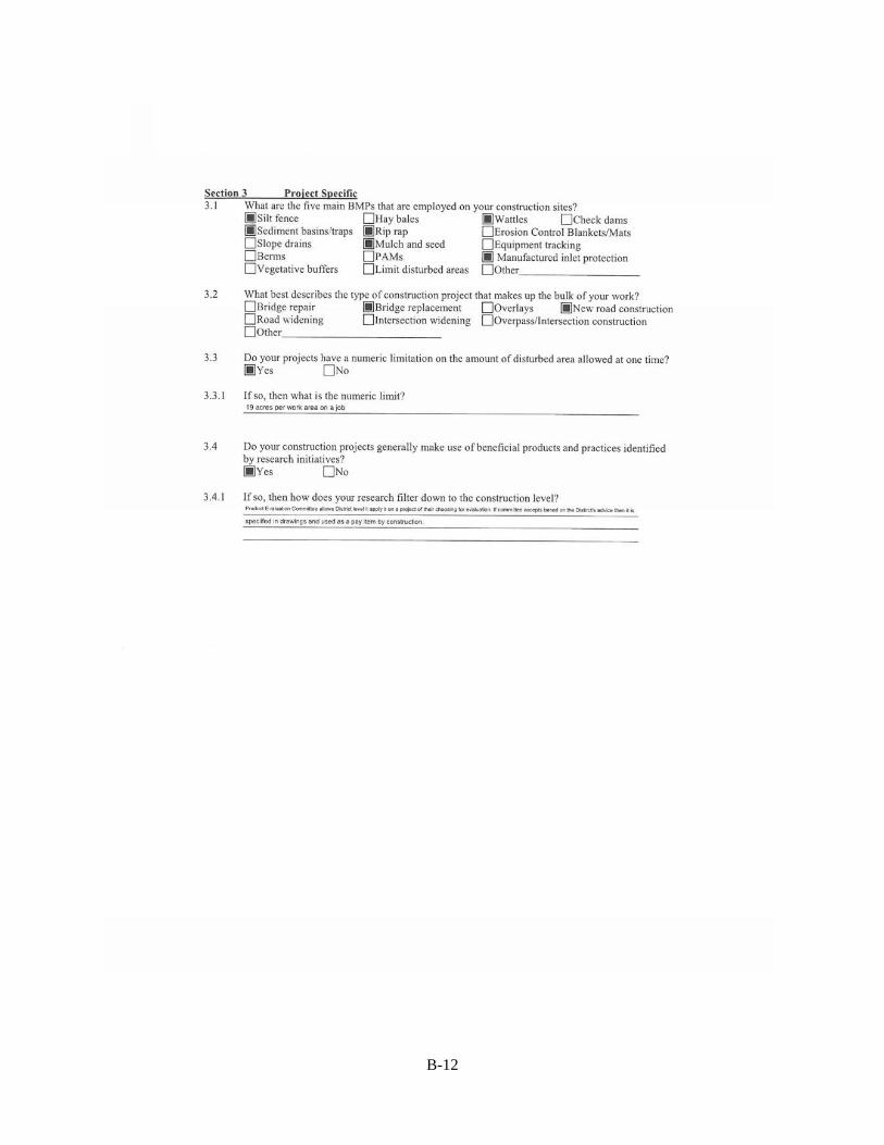
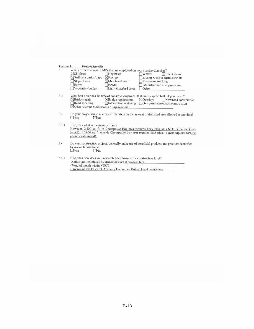
Section 3 Project Specific 3.1 What are the five main BMPs that are employed on your construction sites?
Answer choices for question 3.1 are as follows (listed from most to least responses): Silt fence (9), mulch and seed (8), check dams (7), sediment basins/traps (5), rip rap (5), erosion control blankets/mats (5), wattles (4), manufactured inlet protection (3), hay/synthetic bales (3), limit disturbed area (3), berms (2), slope drains (1), polyacrylamides (1), and other (1).
3.2 What best describes the type of construction project that makes up the bulk of your work?
Answer choices for question 3.2 are as follows (listed from most to least responses): Bridge replacement (6), overlays (5), road widening (5), bridge repair (2), new road construction (2), intersection widening (1) and other (1).
3.3 Do your projects have a numeric limitation on the amount of disturbed area allowed at one time?
Both Louisiana and Virginia answered “No” to question 3.3; however, the Virginia response noted that 2,500 sq. ft. in Chesapeake Bay area requires E&S plan plus NPDES permit (state issued). Additionally, in Virginia projects with a 10,000 sq. ft. disturbed area outside of the Chesapeake Bay area requires E&S plan and one acre of disturbance requires NPDES permit (state issued). 3.3.1 If so, then what is the numeric limit?
Arkansas—24 acres Florida—approx. 17 acres Georgia—17 acres S. Carolina—17 acres, N. Carolina—17 acres Mississippi—19 acres Alabama—15 acres
3.4 Do your construction projects generally make use of beneficial products and practices identified by research initiatives?
Arkansas is the only state to respond with “No.” Louisiana did not respond to the question.
3.4.1 If so, then how does your research filter down to the construction level?
Responses to this question varied. Florida indicated that research is implemented through the Department’s manuals, standards, and specifications. Likewise, South Carolina and North Carolina indicated that research information is incorporated into erosion control and/or contract specifications. In Alabama, construction personnel are included on the Research Advisory Committees. Virginia indicated that dedicated staff members at the research level are involved in distributing research information. In Mississippi, practices and products are evaluated at the

9
District level and submitted to a committee for approval. If approved, they are then specified in drawings and used as a pay item. Georgia indicated that the approval process for new practices and products/materials is a multi-committee process.
Survey results indicated that commonalities exist among the states with inspection processes, construction project type and practices (limiting disturbed area), BMP selection, and implementation and distribution of information about research results. However, the amount of research dedicated to erosion and sediment management varies.
RESEARCH
The following section lists synopses of recent research efforts, by state, that were revealed during development of this project. All of the reports gathered during literature review came from individual state DOTs research database or the Transportation Research Board’s TRID database, trid.trb.org. Reports were chosen by relevance to the subject and date of publication. Ideally research performed within the last 10 years and directly related to water quality at DOT construction was selected. However, considerations were made for older research or research that was not specifically related to construction if the research results could be applied to current state-of-practice in erosion and sediment management at construction sites. Research that was ongoing (not completed) was not included.
A goal of the literature search was to review the commonality of research scopes, methodology and results. While the ultimate goal of research is to decrease or eliminate water quality degradation at DOT construction sites, each state’s research contribution addressed the subject in different manners. Table 1 indicates some of the common issues addressed in the research encountered during the project.
Erosion
Prevention
Sedim
ent M
anagem
ent
Mater ials Testing
Training and O
utreach
BMP D
esign
Monitoring
BMP Performa
nce
Vegetative Cover
Alabama x xArkansas x xFlorida x x xGeorgia x xKentucky xMississippi x x xNorth Carolina x x x xVirginia x x xWest Virginia x
Table 1 Research topics among the southeastern states.

10
Alabama Results from one of Alabama’s latest research efforts on the topic of erosion and sediment management were published in December 2012. The study, conducted by Auburn University, is titled “Assessing Performance Characteristics of Sediment Basins Constructed in Franklin County, Alabama.” The author, Christopher Preston Logan, states that the objectives of his research were to assess the performance characteristics of temporary sediment basins used on highway construction sites, examine the differences in sediment basin design practices, and perform a cost-benefit analysis of various basin designs and features.
Logan began the study by conducting a literature review to become familiar with previous research performed regarding sediment basins as a whole as well as the characteristic features of different types of sediment basins. This chapter in the report deals with the factors that must be considered during the design of a sediment basin as well as the storage and removal of sediment from a basin.
Logan was able to assess the current state of practice regarding sediment basins by conducting a nationwide survey regarding the topic. The survey consisted of 68 questions in six categories. The categories included: Background and Experience, Design, Construction, Maintenance of Sediment Basin During Construction, Inspection and Monitoring, and Lessons Learned. A total of 37 responses were received.
The next phase, data collection, was carried out on Alabama Department of Transportation (ALDOT) 502 Project in Franklin County, Alabama. In order to evaluate the performance of Sediment Basin # 4 at the site, five ISCO 6712 automatic samplers were used: one at each inflow point, two within the basin and one at the outflow point. The inflow samplers were also equipped with ISCO 730 Bubbler Flow Modules that would give depth and flow readings after being programmed for the weir constructed at each location. The outflow sampler was equipped with an ISCO 750 Flow Module so that rate of flow could be monitored as stormwater left the site. Samplers were also placed within the perimeter of the basin. These samplers were connected to the outflow sampler in order to ensure that samples were collected at the same time. Samples from each were taken at predetermined flow intervals which were programmed into each sampler. All samples were analyzed for turbidity and total suspended solids (TSS). The report also indicated that polyacrylamide (PAM) blocks were installed directly downstream of the constructed weir to aid in sediment removal.

11
Figure 1 Sampler location within the basin during the ALDOT 502 Project research study (Logan, 2012).
In order to determine the change in storage volume, sediment samples were taken from the sediment basin at the end of each monitoring period. These samples were taken between each baffle and between the baffles and the inflow and outflow of the basin. Sediment samples were collected along each side of the basin as well as in the center.
Data collection was divided into two phases. The first phase of data collection was conducted during the early stages of construction where little to no vegetative cover was present. Phase 1 data collection occurred during rainfall events on November 16 and December 15, 2011. Data analysis results indicate that the outflow reached 90% reduction efficiency within 36 hours of the peak observed values for both TSS and turbidity when the correct PAM was used. In contrast, when the wrong PAM was used, 90% reduction efficiency was not achieved until 96 hours had passed. Samples from within the basin showed similar trends. Figure 2 shows reduction performance during Phase 1 sampling. Phase 2 data collection was performed during a more mature stage of development. It is noted that, during this phase of data collection, a second inlet was constructed and was considered to be the main inflow source. It was also noted that, during the second phase of data collection, there was a “No PAM” category of data collected. During this period of collection, improper construction of the weir allowed the inflow to bypass the PAM blocks located on the weir. Rainfall events for the “No PAM” data were on January 17 and 21, 2012. The second category of data collected, with PAM, were during rainfall events on January 26, February 1, and February 4, 2012. Data analysis indicate that during the “No PAM” collection period TSS and turbidity removal efficiency were much lower than any data collected

12
with the use of PAM, taking five days to achieve 85% TSS and 80% turbidity reduction at the outflow. Reduction efficiency rates for Phase 2 data collection can be seen in Figure 3.
Figure 2 Reduction performance for TSS and turbidity during Phase 1 data collection (Logan, 2012).

13
Figure 3 Reduction performance for TSS and turbidity during Phase 2 data collection (Logan, 2012).
To conclude the research effort, Logan offers suggestions for future sediment basin design and the use of PAM. It is noted that during Phase 2 data collection inflow volumes exceeded the storage capacity of the sediment basin although rainfall did not exceed the design storm volume of a 2-yr 24-hr storm of 3.91 in. He recommends that all sediment basins be up to date with ALDOT design standards. Logan also notes that the height of the baffles in the basin may be inadequate. When the basin is filled to capacity the baffles are below the surface of the water in the basin allowing for sediment laden water to bypass the baffle. Logan also recommends that the amount of PAM be increased in order to increase reduction efficiencies. Additionally, Logan’s Cost Analysis suggested that an increase of approximately $2,684.30 in construction cost can yield higher reduction efficiency rates.
Additionally, Wesley Zech of Auburn University is currently conducting a research study titled “Development of a Test Facility to Evaluate the Optimal Design of BMPs for Managing Environmental Problems at Constructions Sites.” The focus of this study is to develop engineering design standards based on a scientific understanding of the performance of a selected number of best management practices (BMPs) that are commonly used by ALDOT on highway construction sites.

14
Arkansas Non-native species of plants have been used for erosion control and revegetation on roadway construction sites since the introduction of kudzu in the 1930s. Since its introduction, kudzu has become a nuisance invasive species. Kudzu is only one of many species that are displacing native flora and fauna in the state of Arkansas. In 2012 the Mack-Blackwell Rural Transportation Center at the University of Arkansas published “The Development of Novel and Non-Invasive Germplasm Selections Native to Arkansas for Highway Re-vegetation Projects.” The author, Gary V. McDonald, Ph.D., states that the use of native plants in re-vegetation projects increase chances for successful establishment and long term growth.
Research for the project was carried out by choosing 27 perennial plant species that are native to the Ozark Plateau/Mountain Region of the state. Plants were either purchased from commercial vendors or grown from seedlings. The plants were planted in blocks to simulate re-vegetation projects at the Division of Agriculture, University of Arkansas Research Farm in Fayetteville, Arkansas. Establishment data were collected to determine the ease and success of establishment. Along with establishment data, plants were exposed to ozone gas to determine their tolerance to roadside conditions. Survival rate data is presented in Figure 4.
Of the 27 initial species selected, all were found to be candidates for successful re-vegetation project. Additionally, it was determined that 17 of the species were not affected by exposure to ozone gas.

15
Figure 4 Data collected from the Arkansas research study on native vegetative cover (McDonald, 2012).
Florida Florida Department of Transportation (FDOT) has sponsored a number of research projects through the Stormwater Management Academy (SMA) at the University of Central Florida. The January 2010 report titled “Index Testing to Support the Stormwater Management Erosion and Sediment Control Laboratory” describes the SMA’s efforts in expanding the materials testing capabilities of the FDOT Stormwater Management Academy Research and Testing laboratory (SMARTL) project. Manoj Chopra, Ph.D., P.E., states that the goals of the project were to establish a Florida-focused laboratory for erosion and sediment control products, confirm

16
manufacturer product data, confirm the effects of polyacrylamide (PAM), and modify and/or improve materials for existing products in Florida conditions.
Chopra describes the importance of having a facility that will be able to provide data that are specific to Florida roadway construction sites. Testing methods for geotextiles used in erosion and sediment control are based on standards used for the testing of clothing and have proven to be ineffective at predicting the field performance of these materials.
Table 2 lists the American Society for Testing and Materials (ASTM) and/or American Association of State Highway and Transportation Officials (AASHTO) standards that were tested for BSRF and Type III silt fence.
ASTM D6461 Standard Specification for Silt Fence MaterialsASTM D4632 Standard Test Method for Grab Breaking Load And
ElongationASTM D5035 Standard Test Method for Breaking Force and
Elongation of Textile Fabrics (Strip Method) ASTM D4491 Standard Test Methods for Water Permeability of
Geotextiles by PermittivityASTM D4751 Standard Test Method for Determining Apparent
Opening Size of a GeotextileASTM D4833 Standard Test Method for Index Puncture Resistance of
Geomembranes and Related Products ASTM D1556 Standard Test Method for Density and Unit Weight of
Soil in Place by The Sand Cone Method ASTM D6938 Standard Test Method for In Place Density And Water
Content of Soil and Soil Aggregate by Nuclear Methods (Shallow Depth)
ASTM D2434 Standard Test Method for Permeability of Granular Soils (Constant Head)
ASTM D2216 Standard Test Methods for Laboratory Determination of Water (Moisture) Content Of Soil and Rock by Mass
AASHTO T88 Particle Size Analysis of Soils ASTM D1140 Standard Test Methods for Amount of Materials In Soils
Finer Than No. 200 (75 µm) Sieve AASHTO T99 (ASTM D698) Moisture Density Relations of Soils Using 2.5 Kg
Rammer and 305 Mm (12 In) Drop AASHTO T 100-06 (ASTM D854) Specific Gravity of SoilsASTM D4318 (AASHTO T89and T90) Standard Test Methods for Liquid Limit, Plastic Limit,
and Plasticity Index of Soils. Table 2 A list of performance standards tested on silt fence at the University of Central Florida’s Stormwater Management Academy(Chopra, Wanalista, Gogo-Abite &Hardin, 2010).
Results of this report indicate that index testing was only performed on Belted Silt Retention Fence and Type III silt fence, both of which met the minimum recommendations for FDOT use.
Additionally, test results indicate that the efficiency of PAM is increased by mixing time and speed. However, there is a point at which increasing mixing speed and/or time causes no changes in efficiency. It was also determined that, when the proper dosage is used and resulting

17
waste water is filtered through 100 micron filter, PAM has no apparent toxicity to fish. An example of turbidity data collected during the study is presented in Figure 5.
Figure 5 Turbidity data collected during the Florida research project (Chopra, Wanalista, Gogo-Abite &Hardin,
2010).
Georgia While not directly related to construction the 2012 report “Stormwater Controls for Pollutant Removal on GDOT Right of Way” by Susan E. Burns, Ph.D., P.E., addresses the problem with roadway runoff. The methods used in this study of roadside treatment facilities, could be applied to construction sites. This study evaluates the performance of roadside treatment stations for removing pollutants from Georgia Right-of-Way. Goals of the research were to determine the primary pollutants from Georgia roads, find the optimal removal mechanism for each pollutant, determine whether passive techniques remove sufficient amounts of pollutants before stormwater runoff reaches receiving streams, determine whether commercially available products are effective, and determine what currently available controls meet space and usage restrictions.
Burns comments that pollutants of most concern are suspended or dissolved solids, heavy metals and nutrients and organic contaminants, microbial, and other chemical parameters. While this is aimed at roadways that are operational, it can easily be applied to the construction process as well. The disruption of soils at construction could likely introduce any of these pollutants to a body of water. Therefore, the removal efficiencies of roadside treatment facilities should be considered when planning erosion and stormwater controls at construction sites.

18
The study location at Canton Creek in Canton, Georgia was monitored during improvements to an interchange on US I-575. During construction of the interchange, Georgia Department of Transportation (GDOT) was requested to monitor the effects on Canton Creek. Water quality monitoring of Canton Creek in Canton, Georgia was performed between February 13, 2007, and October 31, 2008. Canton Creek is part of the Etowah river basin, an imperiled aquatic ecosystem. During the monitoring period, construction of a culvert was performed as part of improvements being made to I-575. Specially designed sand filter detention ponds were constructed to capture pavement runoff. During construction, these were used to collect receiving water to prevent it from reaching Canton Creek. The ponds were to be used post construction as permanent roadside treatment stations.
Results from in-situ monitoring during the construction phase indicate that the sand filter ponds were effective in preventing turbidity levels from rising significantly higher than back ground levels. In addition it was noted that increases in water temp and pH were observed at the monitoring locations. The increase in temperature was due to seasonal ambient temp change, while the change in pH was attributed to concrete pours during construction. An example of data collected is presented in Figure 6.

19
Figure 6 An example of data collected during the study (Burns, 2012).
Kentucky In 2006 the Kentucky Transportation Center (KTC) at the University of Kentucky conducted a survey of construction personnel to determine the familiarity with recent changes in erosion control procedures. David L. Allen and Sudhir Palle indicate that these changes to the erosion control procedures allow for construction personnel to develop and implement erosion control procedures on site. Before these changes were made by Kentucky Transportation Cabinet (KYTC), erosion control procedures were developed by consultants and designers. This method of development proved to be ineffective in the field.
Survey results indicate that most KYTC construction personnel were somewhat familiar with the new erosion control procedures and did not indicate major issues. The majority of respondents did indicate an interest in more training.

20
Mississippi Mississippi has conducted at least one research project involving water quality at construction sites. The 2012 draft report “Turbidity Monitoring at Select MDOT Construction Sites” outlines a project that was carried out from January 2011 to February 2012.
Stream monitoring at seven MDOT constructions sites was conducted in order to gather baseline data on the potential effects of construction on receiving streams. Three water quality monitoring sondes were deployed at each site, one 250 ft upstream from the site, one within 750 ft of the discharge point (mixing zone), and one outside of the mixing zone (downstream). A tipping bucket type raft gauge was installed on site to monitor rainfall. The sondes and rain gauge were synchronized to make the correlation between turbidity and rain fall data easier. The monitoring equipment was deployed until at least one rain event occurred at the site.
The study indicates that construction sites where BMPs were properly installed and maintained generally remained within the water quality standards established by the Mississippi Department of Environmental Quality. This standard states that downstream turbidity, outside of the 750 ft mixing zone, may not exceed a 50 Nephelometric Turbidity Units (NTU) difference from the upstream turbidity. An example of data collected is presented in Figure 7.

21
Figure 7 Data collected during the Mississippi turbidity study (Aguilar & Welch, 2012).
Mississippi State University is currently performing research titled “Evaluation of Short Statured Species for Rapid Establishment on Mississippi Roadsides.” The goal of this research is to evaluate seed mixes that will yield rapid establishment rates and decrease the amount of time required for mowing. This research is scheduled to be completed in 2013.
North Carolina North Carolina State University, sponsored by North Carolina Department of Transportation (NCDOT), conducted research in 2006 concerning the effects of highway construction on water quality. Daniel Line, P.E., summarizes the results of the project in “Monitoring the Effects of Highway Construction in the Sedgefield Lakes Water Shed.”
Monitoring was performed on three unnamed tributaries in the Sedgefield Lakes and King’s Mill residential areas. Two sampling locations were located on each tributary. Line indicates that ideally the sites should be monitored for a period of three years: pre-construction, during construction, and post construction. The tributaries in the Sedgefield Lakes subdivision were monitored pre construction. However, construction had already begun near the third site in the King’s Mill subdivision and a sampling point upstream of the construction site was used for background data.

22
Results from a two-year monitoring period indicate that both sediment loss and turbidity increased during the construction phases at each site. An example of a monitoring site used during the study is presented in Figure 8.
Figure 8 A monitoring site used during the North Carolina study (Line, 2006).
“Minimizing Water Quality Impacts of Roadway Construction” is another example of North Carolinas effort in improving water quality impacts during roadway construction. The study, conducted by Richard McLaughlin, Ph.D., and Gregory Jennings, Ph.D., P.E., of North Carolina State University, was conducted over a period of four years between 2002 and 2006. The study objectives included the evaluation of various erosion and sediment management practices. Additionally, the researchers aimed to establish baseline information on stream water quality and stability and measure annual changes in Long Creek and four of its tributaries.
The effectiveness of ground cover was evaluated by applying different materials and ground covers to three sites as demonstrations or preliminary tests and an additional three sites to determine whether results could be repeated. All of the testing included polyacrylamide (PAM) and most sites included the use of straw mulch alternatives.
Results concerning ground cover effectiveness varied from site to site. At the Bellhaven Boulevard demonstration site Excelsior mat and straw mulch were compared. Both were tested with and without the application of PAM. Results indicate that the PAM treated surfaces reduced turbidity by as much as 50% and also showed a significant decrease in total run off volumes. At the Oakdale Road demonstration site a wood fiber mulch (with and without PAM) was compared to a section previously stabilized with straw and asphalt tackifier. The previously stabilized section had only a mixture of PAM and seed applied for testing. Only vegetative cover progress was monitored at this site. Results indicated no obvious difference in growth rate between the different applications. However, it was observed that PAM applications did increase slope stability. At the Oakdale Road area plots site, PAM was applied to previously seeded plots and compared to plots with no PAM. Again, no obvious difference in vegetative cover was noticed. It was noted that fewer rills had developed in the plots where PAM was applied. At the

23
Statesville Road Overpass site, 18 plots were tested. Hydromulch, bare ground and straw were compared both with and without the addition of PAM. Again, it was noted that the addition of PAM improved slope stability. The Brookshire Boulevard Area Plots compared the use of straw and tackifier, wood fiber hydromulch, and Excelsior matting both with and without the addition of PAM. Eighteen 25-ft x 20-ft foot plots were constructed for this series of evaluation. Total run-off volume was determined by collecting run-off at the base of each plot. Samples were collected from each and analyzed for turbidity and total suspended solids (TSS). The site was monitored over six rainfall events. Results indicate that turbidity and TSS were both significantly decreased with the application of PAM. It was also noted that the addition of PAM somewhat increased the amount of vegetative cover developed over the monitoring period. The Old Statesville Road Plots compared Flexterra Flexible Growth Medium, Excelsior matting, and straw all with and without the addition of PAM. Straw plots were shown to have higher turbidity than both the excelsior and Flexterra and the addition of PAM did not appear to aid in turbidity reduction for straw. The Flexterra plot had the highest turbidity reduction of the three with and without PAM. Flexterra proved to be more effective at reducing total run off volume and TSS as well. The Forest Drive Area plots compared straw, Flexterra, Excelsior matting, and cotton hydromulch. Straw with PAM proved to be the most effective product for reducing turbidity and TSS at this site. Straw with PAM and cotton with pam proved to be the most effective product for establishing vegetative cover.
Sediment traps and impoundment structures of various sizes were monitored for turbidity and TSS. Effluent and influent samples were taken at monitoring locations and sent for laboratory analysis. Sedimentation rates were measured by surveying with a total station. Basins, traps, and ditches were modified at select locations and compared to standard basins. Modifications included the addition of PAM, jute/coir fiber baffles, and skimmer outlets. Select ditches were also modified by installing jute linings and manufactured check dams.
Stream water quality was monitored in four tributaries of Long Creek near roadway construction in order to determine the amount, if any, of direct impact roadway construction made in the streams. Streams 1 and 2 did not appear to have any significant additions of sediment due to roadway construction. Higher turbidity levels were observed in Stream 4 below roadway construction.
The instream morphology of Long Creek was also monitored during the study period. Fifteen permanent cross sections were established at Long Creek and its tributaries. Measurements of channel dimensions, substrate composition, turbidity, and TSS were taken at each cross section according to USDA Forest Service protocols. Drastic changes in stream morphology were not observed during the monitoring period. Changes to channel dimensions in streams that had the highest potential to be impacted coincided with changes in reference sites.
A biological assessment was conducted on Long Creek and its tributaries during construction. Macroinvertebrate sampling was performed at 11 sites in 2003, 2004, and 2006. It was
24
determined that the construction in the I485 corridor did not further degrade biological water quality and had a minimal impact on the macroinvertebrate populations in the Long Creek Watershed.
Additional recent efforts by NCDOT to improve water quality at construction sites are demonstrated in McLaughlin’s “Stilling Basin Design and Operation for Water Quality Field Testing.” In the 2008 report McLaughlin indicates that stilling basins are often ineffective at capturing fine sediment present in pumped construction water. The author indicates that the use of baffles within the basin and the addition of PAM can increase the effectiveness of a stilling basin.
Tennessee At the June 14, 2012, International Erosion Control Association (IECA) Roadshow Mississippi meeting, Janette Peters of Civil and Environmental Consultants, Inc., presented her research results for a Tennessee Department of Transportation (TDOT) sponsored turbidity monitoring at TDOT construction sites. The goals of the research project included developing a baseline for turbidity, defining representative outfalls, and determining the most appropriate sampling method. Monitoring was performed at five sites throughout the state. At four sites, grab samples were taken and measured with a Hach turbidimeter. At the fifth site, turbidity was measured using Troll water quality sondes.
Grab samples were collected at sites based on EPA guidelines. Samples were taken from the outfall point on each site. Peters indicates that collecting grab samples is most effective if performed by on-site personnel rather than “storm chasing.”
Troll water quality sondes were deployed directly in the outfall on the site. The sondes were connected to the data logger and rain gauge to collect rainfall with turbidity. Peters indicates that some issues with the troll include: unwanted readings during transportation, extensive cleaning, calibration, and equipment placement.
Peters concludes that more research is necessary to determine the most effective method for collecting turbidity data from construction sites.
Virginia In their January 2001, report Shaw L. Yu, Ph.D., and Monika Stopinski indicate the need for effective BMPs in “ultra urban” areas. “Ultra urban” describes areas where space for BMP implementation is limited and there is a high density of impervious surfaces. Yu and Stopinski indicate that a “greater level of stormwater treatment is needed to control pollutant washoff after construction at ‘hot spot’ sites where higher pollutant concentrations are expected.” The authors also noted that most “ultra urban” BMPs are in early stages of development and have not been field tested.

25
The purpose of the research was to evaluate the use of ultra urban BMPs to control non-point source pollution of Virginia highways.
The four stormwater treatment stations evaluated were StormceptorTM, Vortechs Stormwater Treatment SystemTM, (Vortechs), Isoilater, and a bio retention area. In order to meet the research objectives, both influent and effluent flows were sampled during storm events. Sampled parameters included TSS, Total Phosphorus (TP), Chemical Oxygen Demand (COD), oil and grease, Total Nitrogen (TN) sediment analysis, and select metals. All three manufactured BMPs and the bioretention had positive Period Removal Efficiency (PRE) with the exception of the StormceptorTM with a negative PRE to TN. This could be attributed to a decrease in aeration inside the BMP limiting the oxidation of ammonia or taxation of ammonia clay minerals. Although the PREs were mostly positive none achieved the manufacturers expected removal rate. It was also noted that the bioretention area may have performed better had it consisted of mature plants.
The authors conclude that proper maintenance measures must be taken to maintain an effective rate of pollutant removal. They also suggest continued research using the StormceptorTM after construction activities have ceased at the site. An example of a monitoring site used during the study is presented in Figure 9. An example of data collected is presented in Figure 10.
Figure 9 A monitoring site used during the Virginia study (Yu & Stopinski, 2001).

26
Figure 10 Data collected during the Virginia study (Yu & Stopinski, 2001).
West Virginia In 2012 the University of West Virginia Department of Civil and Environmental Engineering published “Development of an Assessment Tool for Water Quality Mitigation Related to Roadway Construction.” The report is the culmination of a five-task project, which sought to maximize the effectiveness of mitigation related to roadway construction. The authors, Lance Lin, Ph.D., James T. Anderson, Ph.D., and Walter Veselka, state the tasks as follows:
Task 1
The first task in the project was to develop a statewide inventory of impaired waters in the state of West Virginia. The inventory was composed using the 303(d) Impaired Waters List for the state. A Geographical Information Systems (GIS) map was then developed which included all impaired waters and the water quality standards that were compromised at each. The GIS map created for the study is presented in Figure 11.
Task 2
The second task in the project identified the watersheds for the study using GIS analysis and field observations. Structurally sound streams were identified by meeting criteria such as drainage area, water quality problem, channelization, and soil type. After GIS analysis, field observations were made at the chosen sites to confirm GIS results. Further analysis was conducted to assure that chosen streams were not both chemically and structurally impaired, which could lead to higher mitigation costs. Based on the GIS analysis and field observations, three watersheds were chosen as the most fit for the study.
27
Task 3
The third task in the project was the bimonthly monitoring of the selected watersheds for specific water quality constituents and macro invertebrate communities. Water quality constituents monitored were chosen based on the initial impairment of each stream. Macroinvertabrate samples were collected twice during the study, once in the spring and once in the fall.
Task 4
The fourth task in the study was to explore the use of BMPs that would potentially decrease a broad spectrum of water quality impairments throughout the state.
Task 5
The final task of the project was to use all of the information acquired during the first four tasks and make recommendations to the West Virginia Department of Highways (WVDOT) that will aid in the successful development of a mitigation plan. Recommendations for improving water quality in the studied watersheds include the construction of wetlands, riparian zones, bio-retention ponds and residential septic systems.

28
Figure 11 GIS map created using the 303(d) Impaired Waters list for the state of West Virginia (Lin, Anderson, Veselka, &Wu, 2012).

29
CONCLUSIONS AND RECOMMENDATIONS
The goal of this synthesis of research was to gather information on how state level DOTs in the Southeastern United States are addressing the issue of erosion and sediment management. Completed questionnaires indicate that DOTs are making efforts to improve water quality at construction sites. All responding states have stormwater inspection programs in place and require stormwater BMPs to be chosen from an approved products list. Additionally all responding states, with the exception of Louisiana, report that there has been some form of research conducted related to erosion and sediment control BMPs. The ultimate goal of research is to decrease or eliminate negative water quality impacts at DOT construction sites; each state’s research contribution addressed the subject in different manners. The previously presented Table 1 indicates that the most common research topic among southeastern states is BMP performance. While many states have completed studies on BMPs, construction, runoff or erosion, and sediment management, recent studies that take a close look at all of these subjects concurrently are harder to locate. Regulatory requirements for construction and water quality have become more stringent and are likely to become even more so in coming years. The need for further research on the topic is necessary in order to meet new guidelines in the future. Recommended areas of research include evaluations of systematic/programmatic approaches, which may be used by states. In addition, the development and implementation of erosion control plans, stormwater pollution prevention plans, and training of contractors and state personnel shall be evaluated as a best management practice.


31
REFERENCES
Aguilar, A. M. and T. Welch. “Turbidity Monitoring at Select MDOT Construction Sites.” Mississippi Department of Transportation. 2012. http://sp.mdot.ms.gov/Research/Pages/Reports.aspx
Allen, D. L., and S. Palle. “Best Management Practices Used by KYTC For On-site Erosion Control.” working paper, University of Kentucky, 2006. http://www.ktc.uky.edu/files/2012/06/KTC_06_35_SPR_311_312_06_1F.pdf.
Burns, S. E. “Stormwater Controls for Pollutant Removal on GDOT Right-of-Way.” working paper, Georgia Institute of Technology, 2012. http://ntl.bts.gov/lib/45000/45700/45744/07-27.pdf.
Chopra, M., M. Wanielista, I. Gogo-Abite, and M. Hardin. “Index Testing to Support the Stormwater Management Erosion and Sediment Control Laboratory.” manuscript., University of Central Florida, 2010. http://www.dot.state.fl.us/research-center/Completed_Proj/Summary_SMO/FDOT_BD521-5_rpt.pdf.
Lin, L., J. T. Anderson, W. Veselka, and C. Wu. “Development of an Assessment Tool for Water Quality Mitigation Related to Roadway Construction.” working paper., West Virginia University, 2012.
Line, D. E. “Monitoring the Effects of Highway Construction in the Sedgefield Lakes Watershed.” working paper, North Carolina State University, 2006. http://www.ncdot.gov/doh/preconstruct/tpb/research/download/2004-26FinalReport.pdf.
Logan, C. P. “Assessing Performance Characteristics of Sediment Basins Constructed in Franklin County, Alabama.” master\., Auburn University, 2012. http://etd.auburn.edu/etd/handle/10415/3404.
McDonald, G. V. “The Development of Novel and Non-Invasive Germplasm Selections Native to Arkansas for Highway Re-Vegetation Projects.” working paper, University of Arkansas,2012. http://ww2.mackblackwell.org/web/research/ALL_RESEARCH_PROJECTS/3000s/3027/MBTC DOT 3027.pdf.
McLaughlin, R. A., and G. D. Jennings. “Minimizing Water Quality Impacts of Road Construction Projects.” North Carolina State University, 2007. http://www.ncdot.gov/doh/preconstruct/tpb/research/download/2003-04FinalReport.pdf.
Yu, S. L., and D. Monika Stopinski. “Testing of Ultra-Urban Stormwater Best Management Practices.” working paper. University of Virginia, 2001. http://virginiadot.org/vtrc/main/online_reports/pdf/01-r7.pdf.

A-1
APPENDIX A
RESULTS AR, FL, GA, NC, MS, SC, VA, LA, AL
STC Synthesis of Research Results for Sediment and Erosion Management at Construction Sites Questionnaire
Section 1 Respondent Information 1.1 Agency/Organization 1.2 Address
Street Address City State Zip Code Country
1.3 Contact Name 1.4 Department/Group 1.5 Job Title 1.6 Telephone Fax 1.7 E-mail Section 2 General 2.1 Does your agency have standardized construction stormwater BMPs? -All respondents answered “YES” 2.2 Is there an approved products list associated with the standardized BMPs?
-All respondents answered “YES”
2.3 Do you have an inspection program to assess project BMPs? -All respondents answered “YES”
2.3.1 If so, what kind(s) do you currently utilize?
0
1
2
3
4
5
6
DOT Weekly
DOT Monthly
DOT Quarterly
Contractor Weekly
Contractor Monthly
Contractor Quarterly
Regulatory Weekly
Regulatory Monthly
Regulatory Quarterly
Other

A-2
2.3.2 How does your state anticipate satisfying the new inspection requirements for the newly issued EPA Construction General Permit (effective February 16, 2012 through February 16, 2017)?
2.4 Please assess the overall current status of your project sediment and erosion control BMPs. Alabama, Arkansas,Mississippi, Georgia, Louisiana, Virginia, S. Carolina, Florida-“Good.” N. Carolina –both “Good” and “Excellent”
2.5 Has your state done any research internally or utilizing a 3rd party on sediment and erosion control BMPs? Alabama, Arkansas, Mississippi, Georgia, N. Carolina, Virginia, S. Carolina, Florida-“Yes” Louisiana did not respond to this question , however Mr. Joubert Harris indicated that little research has been conducted in Louisiana
2.5.1 If so, then how many sediment and erosion control BMP research studies have been conducted by your state?
2.6 Are these research documents located on a database or website that is accessible to the
public? 2.6.1 If so, then please provide the link. Florida- http;//stormwater.ucf.edu/research_publications.asp
Georgia- www.dot.ga.gov/doingbusiness/research/projects/Pages/default.aspx
0
1
2
3
Inspections utilizing DOT Inspectors
Utilize 3rd party inspectors
Contractor responsibility
Other
0
0.5
1
1.5
2
2.5
3
0‐4
5‐9
9‐10
15 or More

A-3
N. Carolina- www.ncdot.gov/doh/preconstruction/tpb/research/ Virginia- www.virginia.org/vtrc/main/online_reports/pdf/00-cr2.pdf www.virginia.org/vtrc/main/online_reports/pdf/01-r7.pdf Alabama-http://trid.trb.org/
Section 3 Project Specific 3.1 What are the five main BMPs that are employed on your construction sites?
3.2 What best describes the type of construction project that makes up the bulk of your work?
3.3 Do your projects have a numeric limitation on the amount of disturbed area allowed at
one time?
0
1
2
3
4
5
6
7
8
9
10Silt FenceSediment basin/trapSlope drainsBermsVegetative buffersHay/synthetic balesRip rapMulch and seedPAMLimit disturbed areaWattlesErosion control blanket/matEquipment trackingManufactured inlet protectionCheck damsOther
0
1
2
3
4
5
6
7 Bridge repair
Road widening
Bridge replacement
Intersection widening
Overlays
Overpass/Intersection construction
New road construction
Other
Yes
No

A-4
3.3.1 If so, then what is the numeric limit? Louisiana-“No” Virginia- NO However, However, 2,500 sq. ft. in Chesapeake Bay area requires E&S plan plus NPDES permit (state issued). 10,000 sq. ft. outside Chesapeake Bay area requires E&S plan. 1 acre requires NPDES permit (state issued). All others respondents-YES Akansas-24 acres, Florida-approx. 750,000 ft2, Georgia-17 acres, S.Carolina- 17 acres, N. Carolina- 17 acres, Mississippi-19 acres Alabama- 15 acres
3.4 Do your construction projects generally make use of beneficial products and practices identified by research initiatives? Arkansas-NO All others- YES Louisiana-No Response
3.4.1 If so, then how does your research filter down to the construction level?
Florida- Research is implemented through the Department’s Manuals, Standards and Specifications Georgia-For materials and some practices: These may require new specifications and new products approved by GDOT. Approval for new specifications is a much more time-consuming process involving several committees and new specification are drafted and pay items created. S. Carolina-Through erosion control specification updates N. Carolina- We incorporate research recommendations in contract specifications and training. Mississippi- Product evaluation committee allows District level apply it on a project of their choosing for evaluation. If committee accepts based on the District’s advice then it is specified in drawings and used aa pay item by construction. Virginia- Active implementation by dedicated staff at research level; Word of mouth within VDOT; Environmental; Research Committee Outreach and newsletters
Alabama-Construction personnel are on the Research Advisory Committees

B-1
APPENDIX B

B-2
B-3

B-4

B-5

B-6

B-7

B-8

B-9

B-10

B-11
B-12

B-13

B-14

B-15

B-16

B-17
B-18