soil survey activities in new york city - usda - nrcs€¦ · soil survey activities in new york...
TRANSCRIPT
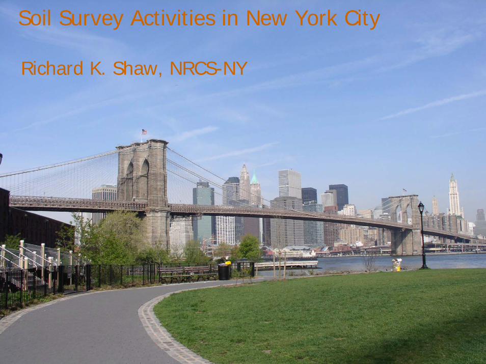
Soil Survey Activities in New York City
Richard K. Shaw, NRCS-NY

US Population (US Census 2000)
80% of US population lived in “Metropolitan” areas(cities with > 50,000 orurbanized areas >100,000 people)
planners, engineers, hydrologists, landscape architects, environmental professionals, educators & students, homeowners

Land Use, New England & Midatlantic States
(NRI data)
Cropland Developed land1982 13.7% 10.3%
2003 11.4% 15.2%
“Keep the survey relevant to ever-changing needs”
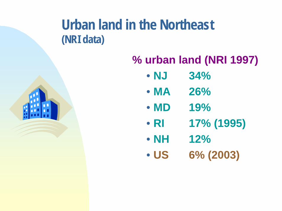
Urban land in the Northeast (NRI data)
% urban land (NRI 1997)• NJ 34%• MA 26%• MD 19%• RI 17% (1995)• NH 12%• US 6% (2003)

Land in Farms in the Northeast (Farmland Information Center website)
% land in farms (2002)• ME 7%• NH 8%• RI 9%• MA 10%• CT 12%• NJ 17%• US 41%
“Expand our efforts to broaden the conservation partnership and build new alliances.” NRCS Strategic Plan
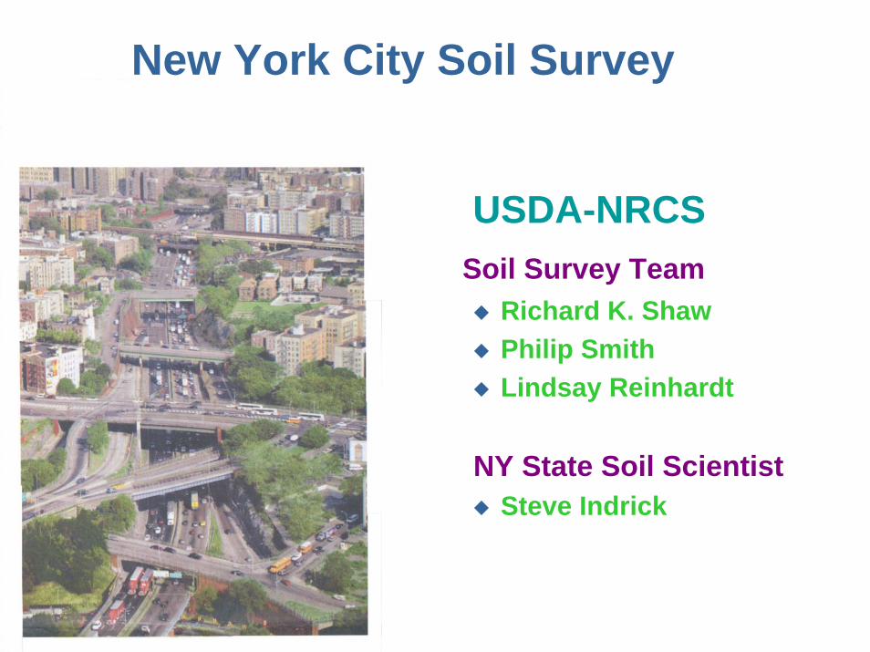
USDA-NRCSSoil Survey Team
Richard K. ShawPhilip SmithLindsay Reinhardt
NY State Soil ScientistSteve Indrick
New York City Soil Survey

Soil Survey ofGateway National Recreation Area
Completed
1:4800 scale – 8300 acres
Final product – CD:• Soil maps (shape files & jpg) • Manuscript (pdf)• NASIS Access datafiles

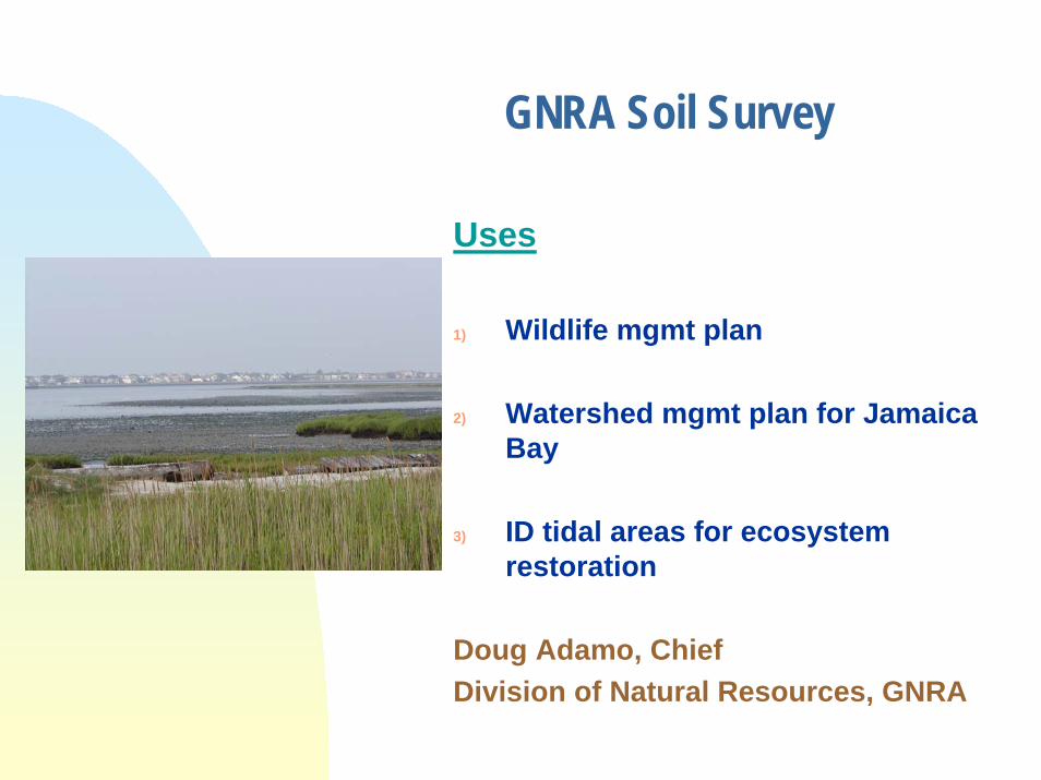
GNRA Soil Survey
“Our resources are mapped at a scale range of 1:1200 to 1:4800. The fine scale and small minimum mapping unit of these soils maps make them invaluable for our purposes.
A standard 1:12000 or 1:24000 scale mapping with MMU of 3 acres would be too coarse for us to use as a base layer of information. What a loss of knowledge that would be....”
Kathy Mellander, GIS Specialist, GNRA

GNRA Soil SurveyUses
1) Critical layer (using the NASIS database and the maps) for site suitability maps for project, facilities, and resource planning
2) Base layer for natural & cultural resource mapping & assessment3) Quick & accurate ID and area statistics of water, impervious
surfaces, landfill soils4) Hydric soil ID5) Examine soil/invasive species relationships6) Correlation with historic maps for location of buried or hidden
cultural resources7) Substitute for updated land cover map8) Aid to air photo/satellite image interpretation, historic and current
Kathy Mellander, GIS Specialist, GNRA
GNRA Soil Survey
Uses
1) Wildlife mgmt plan
2) Watershed mgmt plan for Jamaica Bay
3) ID tidal areas for ecosystem restoration
Doug Adamo, ChiefDivision of Natural Resources, GNRA
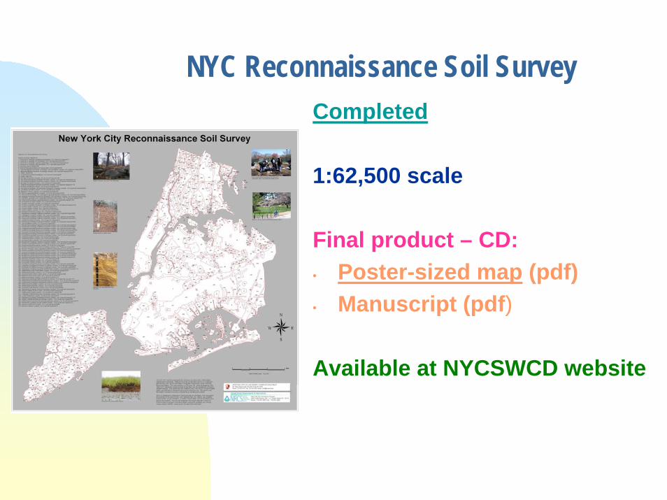
NYC Reconnaissance Soil SurveyCompleted
1:62,500 scale
Final product – CD:• Poster-sized map (pdf) • Manuscript (pdf)
Available at NYCSWCD website
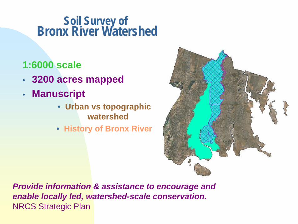
Soil Survey ofBronx River Watershed
1:6000 scale• 3200 acres mapped• Manuscript
• Urban vs topographic watershed
• History of Bronx River
Provide information & assistance to encourage and enable locally led, watershed-scale conservation.NRCS Strategic Plan

BRW Soil Survey Users
•Revegetation & restoration potential•Infiltration rates•Stormwater capture potential•Environmental resource inventory
Bronx River AllianceNYCDPRNYBGBronx ZooNYC DEP
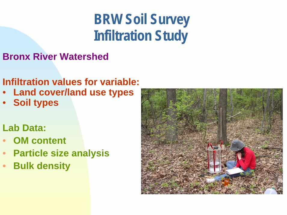
BRW Soil SurveyInfiltration Study
Bronx River Watershed
Infiltration values for variable:• Land cover/land use types• Soil types
Lab Data:• OM content • Particle size analysis• Bulk density
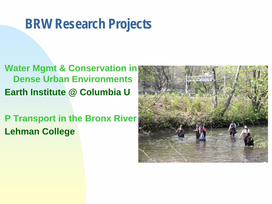
BRW Research Projects
Water Mgmt & Conservation in Dense Urban Environments
Earth Institute @ Columbia U
P Transport in the Bronx RiverLehman College

BRW Soil SurveyGround Penetrating Radar
Depth to bedrockDepth of fill?
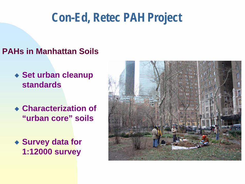
PAHs in Manhattan Soils
Set urban cleanup standards
Characterization of “urban core” soils
Survey data for 1:12000 survey
Con-Ed, Retec PAH Project
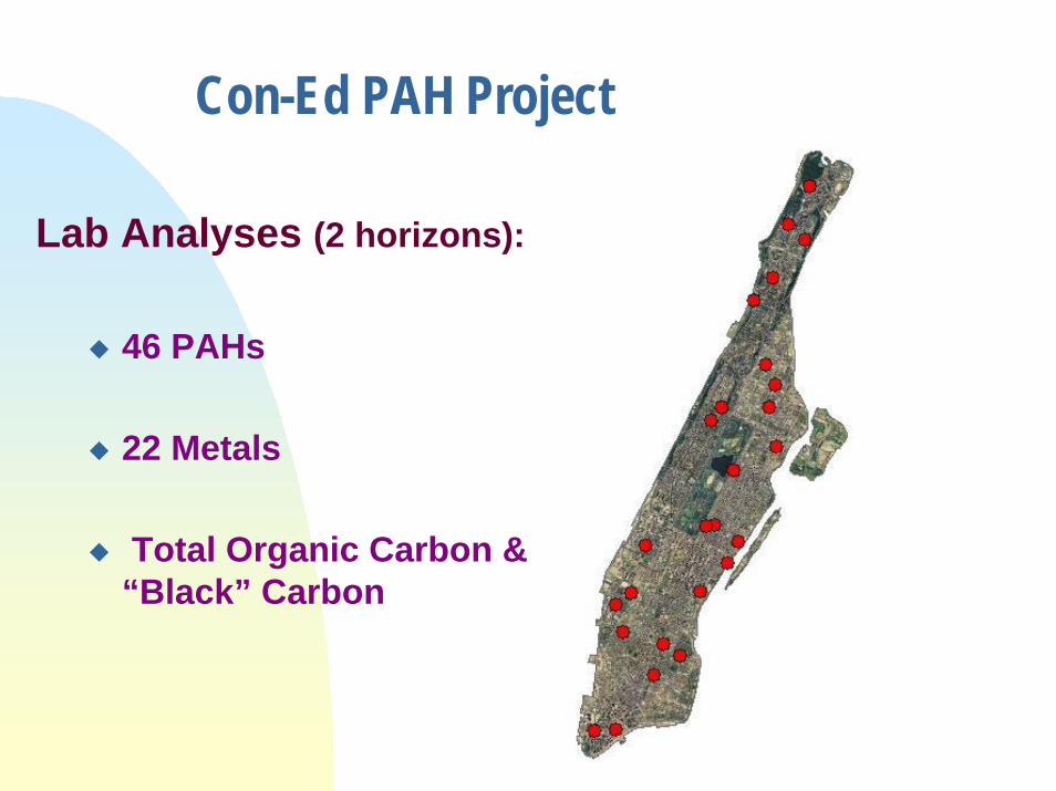
Con-Ed PAH Project
Lab Analyses (2 horizons):
46 PAHs
22 Metals
Total Organic Carbon & “Black” Carbon
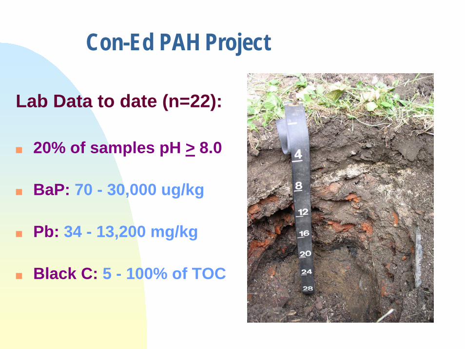
Con-Ed PAH Project
Lab Data to date (n=22):
20% of samples pH > 8.0
BaP: 70 - 30,000 ug/kg
Pb: 34 - 13,200 mg/kg
Black C: 5 - 100% of TOC
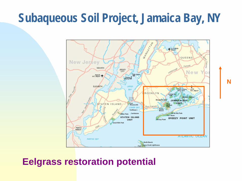
Subaqueous Soil Project, Jamaica Bay, NY
N
Eelgrass restoration potential
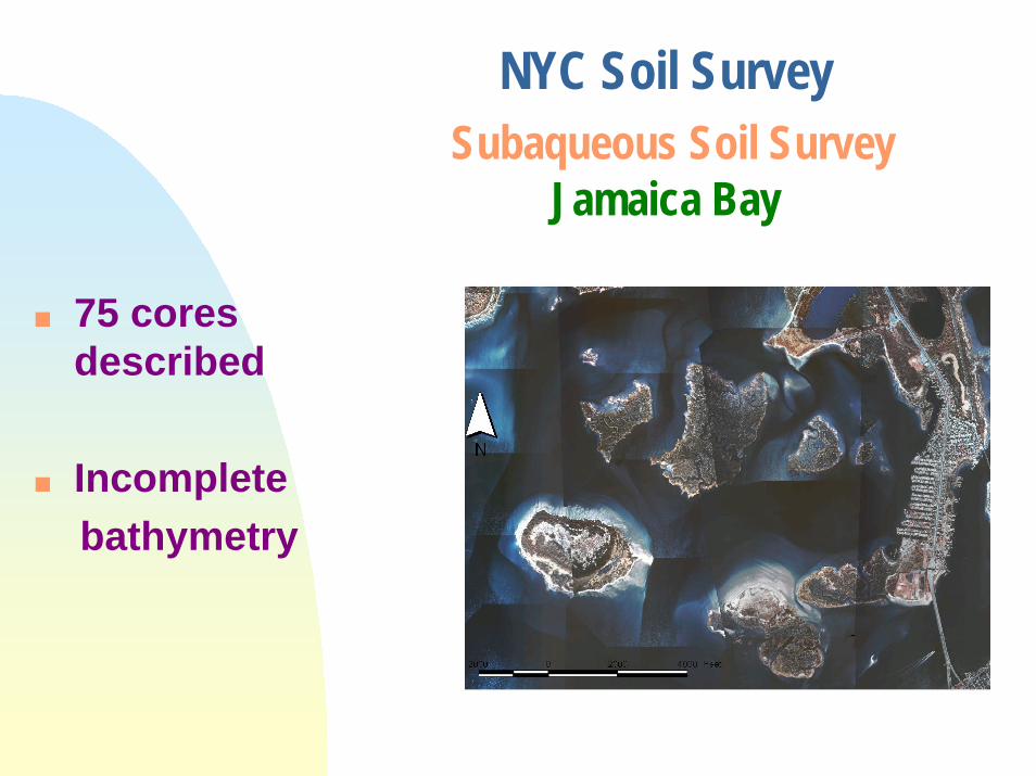
NYC Soil SurveySubaqueous Soil Survey
Jamaica Bay
75 cores described
Incompletebathymetry

Subaqueous Soil SurveyJamaica Bay
• 4 landforms identified
• No SAV (except Ulva)
• SOC = 0.2 to 1.2%
• 70% Haplic sulfaquents
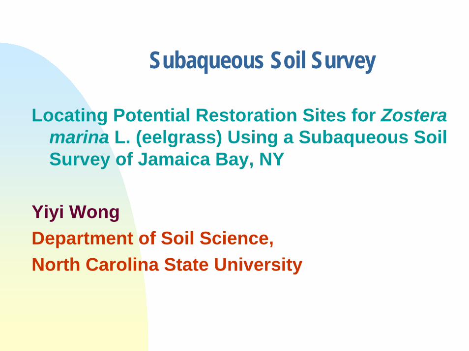
Subaqueous Soil Survey
Locating Potential Restoration Sites for Zosteramarina L. (eelgrass) Using a Subaqueous Soil Survey of Jamaica Bay, NY
Yiyi WongDepartment of Soil Science, North Carolina State University
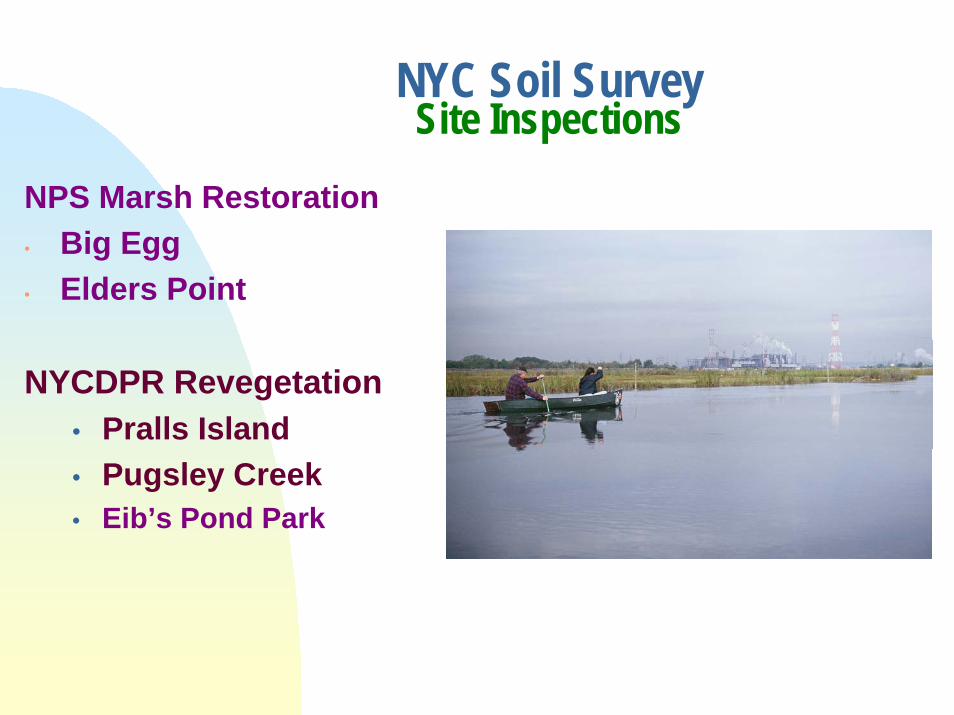
NPS Marsh Restoration• Big Egg• Elders Point
NYCDPR Revegetation• Pralls Island• Pugsley Creek• Eib’s Pond Park
NYC Soil SurveySite Inspections
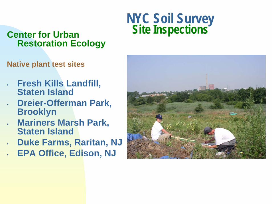
Center for Urban Restoration Ecology
Native plant test sites
• Fresh Kills Landfill, Staten Island
• Dreier-Offerman Park, Brooklyn
• Mariners Marsh Park, Staten Island
• Duke Farms, Raritan, NJ• EPA Office, Edison, NJ
NYC Soil SurveySite Inspections
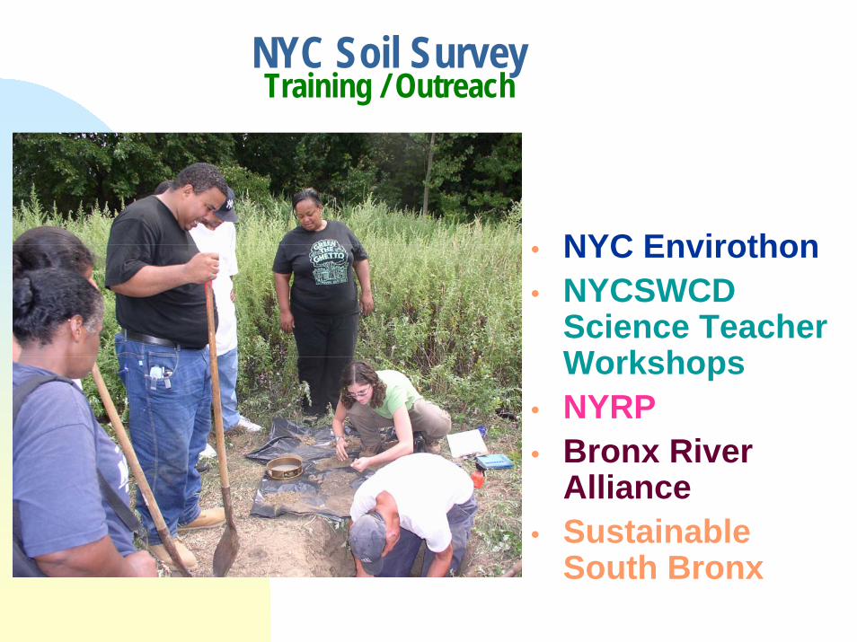
NYC Soil SurveyTraining / Outreach
• NYC Envirothon• NYCSWCD
Science Teacher Workshops
• NYRP• Bronx River
Alliance• Sustainable
South Bronx

International Committee on Anthropogenic Soils
(ICOMANTH)
New nomenclature Standard terminology for “anthropogenic” soils

NRCS, NYCSWCD,& Queens College
Partnership
Soils Faculty Position
Training in Soil ScienceResearch CollaborationPotential Employees
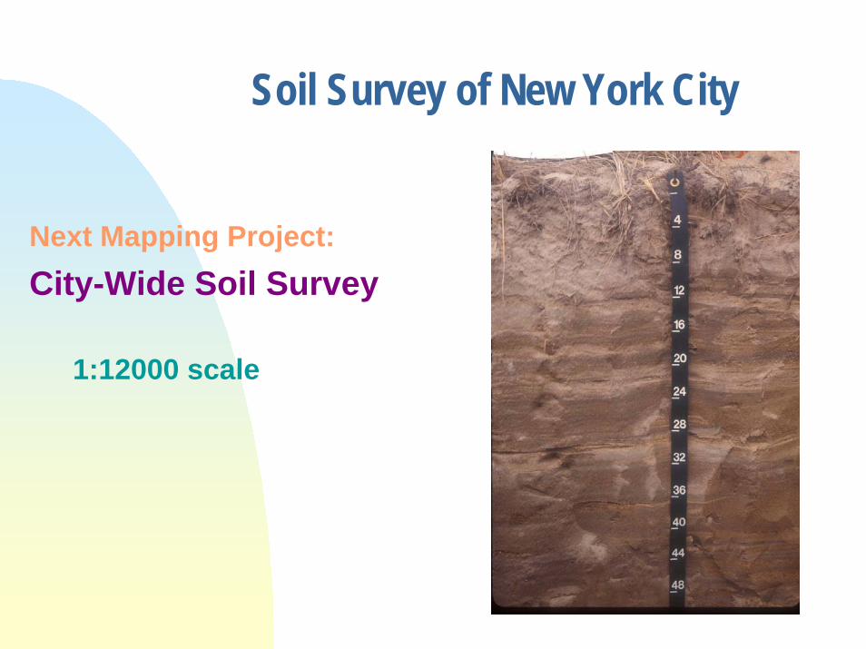
Soil Survey of New York City
Next Mapping Project:City-Wide Soil Survey
1:12000 scale
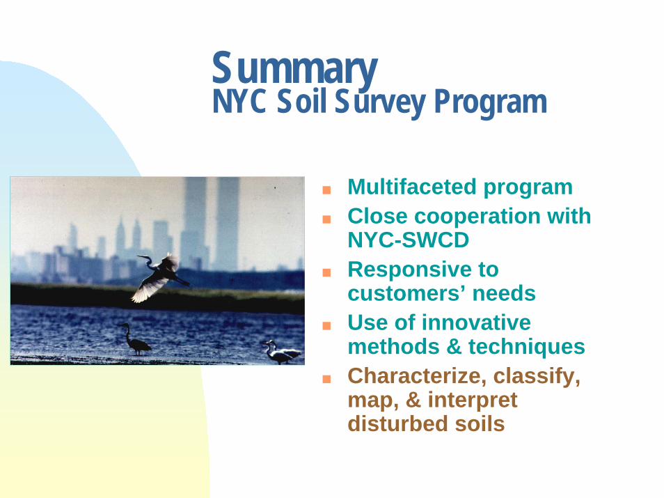
SummaryNYC Soil Survey Program
Multifaceted programClose cooperation with NYC-SWCDResponsive to customers’ needs Use of innovative methods & techniquesCharacterize, classify, map, & interpret disturbed soils