sheringham park - walkabout series - national trust · sheringham park - walkabout series 20p. for...
TRANSCRIPT
The National trust is a registered charity, number 205846
0.25 mile
C
H
E
E
J G
B
J F
A
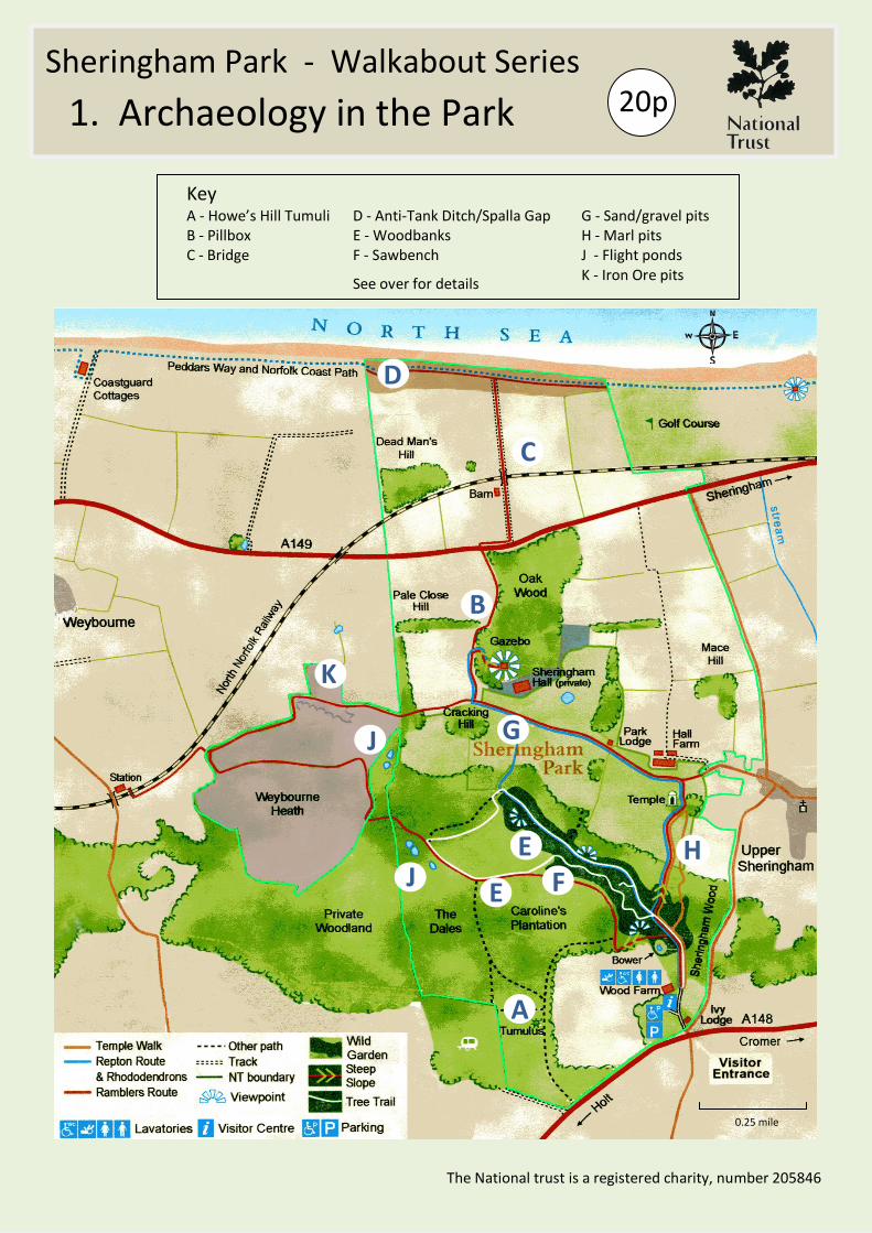
Key A - Howe’s Hill Tumuli D - Anti-Tank Ditch/Spalla Gap G - Sand/gravel pits B - Pillbox E - Woodbanks H - Marl pits C - Bridge F - Sawbench J - Flight ponds
See over for details K - Iron Ore pits
D
K
1. Archaeology in the Park
Sheringham Park - Walkabout Series 20p
For further information on these topics, ask at the Visitor Centre about our programme of guided walks
Prehistoric Archaeology Evidence of the early occupation of the area is seen at Howe’s Hill (A). Here there are two tumuli. The first is an oval barrow, a rare burial monument of the Neolithic period. The second is a bowl (round) barrow built on top of the first in the Bronze Age. They sit on a high point of the Cromer Ridge chosen for its visibility.
They were excavated in Victorian times and an ornamental bank and ditch created around them. To complete the romantic effect evergreen trees were planted in the area.
Military Archaeology The North Norfolk area has long been considered vulnerable to invasion. During WWII this threat was met with extensive fortification. A pillbox and the steel firing point for a spigot mortar can be seen at (B). On the south side of the bridge (C) are sockets for anti-tank obstacles.
On the coast itself, at (D), is a section of an anti-tank ditch covered by two pillboxes to the west (just off NT land). The beach obstacles, barbed wire entanglements and minefields associated with it, can only be imagined.
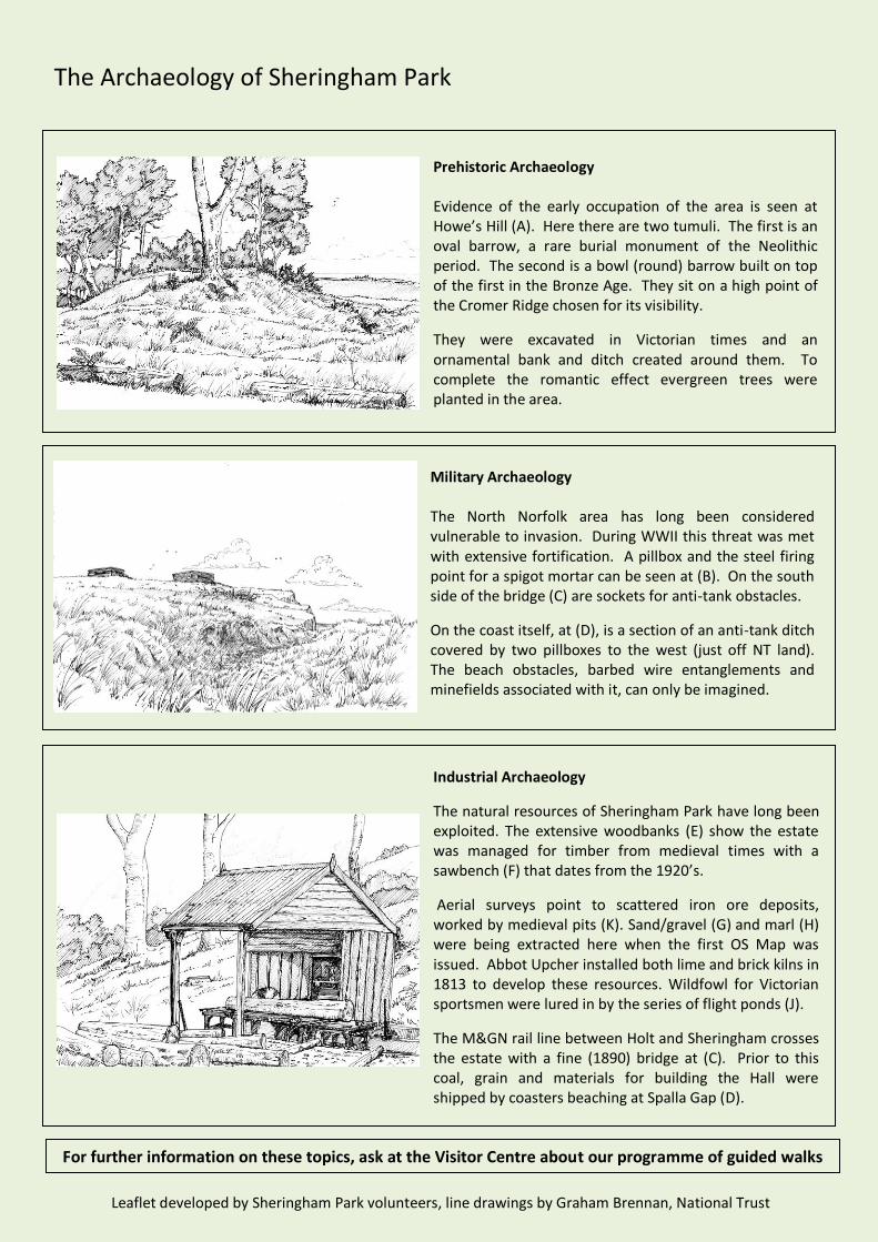
Industrial Archaeology
The natural resources of Sheringham Park have long been exploited. The extensive woodbanks (E) show the estate was managed for timber from medieval times with a sawbench (F) that dates from the 1920’s.
Aerial surveys point to scattered iron ore deposits, worked by medieval pits (K). Sand/gravel (G) and marl (H) were being extracted here when the first OS Map was issued. Abbot Upcher installed both lime and brick kilns in 1813 to develop these resources. Wildfowl for Victorian sportsmen were lured in by the series of flight ponds (J).
The M&GN rail line between Holt and Sheringham crosses the estate with a fine (1890) bridge at (C). Prior to this coal, grain and materials for building the Hall were shipped by coasters beaching at Spalla Gap (D).
Leaflet developed by Sheringham Park volunteers, line drawings by Graham Brennan, National Trust
The Archaeology of Sheringham Park