oklahoma geological survey seismic...
TRANSCRIPT
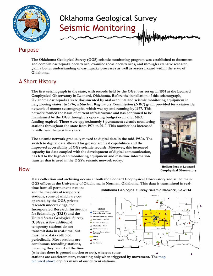
Helicorders at Leonard Geophysical Observatory
Oklahoma Geological Survey Seismic Monitoring
Purpose The Oklahoma Geological Survey (OGS) seismic monitoring program was established to document and compile earthquake occurrence, examine these occurrences, and through extensive research, gain a better understanding of earthquake processes as well as assess hazard within the state of Oklahoma.
A Short History The first seismograph in the state, with records held by the OGS, was set up in 1961 at the Leonard Geophysical Observatory in Leonard, Oklahoma. Before the installation of this seismograph, Oklahoma earthquakes were documented by oral accounts and seismic monitoring equipment in neighboring states. In 1976, a Nuclear Regulatory Commission (NRC) grant provided for a statewide network of remote seismographs, which was up and running by 1977. This network formed the basis of current infrastructure and has continued to be maintained by the OGS through its operating budget even after NRC funding expired. There were approximately 8 permanent seismic monitoring stations throughout the state from 1976 to 2010. This number has increased rapidly over the past few years. The seismic network gradually moved to digital data in the mid-1980s. The switch to digital data allowed for greater archival capabilities and the improved accessibility of OGS seismic records. Moreover, this increased capacity for data coupled with the development of digital communication, has led to the high-tech monitoring equipment and real-time information transfer that is used in the OGS’s seismic network today.
Now Data collection and archiving occurs at both the Leonard Geophysical Observatory and at the main OGS offices at the University of Oklahoma in Norman, Oklahoma. This data is transmitted in real-time from all permanent stations and the majority of temporary stations, some of which are co-operated by the OGS, private research undertakings, the Incorporated Research Institution for Seismology (IRIS) and the United States Geological Survey (USGS). A few additional temporary stations do not transmit data in real-time, but must have data collected periodically. Most stations are continuous-recording stations, meaning they record all the time (whether there is ground motion or not), whereas some stations are accelerometers, recording only when triggered by movement. The map pictured above depicts many of our current stations.

Oklahoma Geological Survey Seismic Monitoring
Procedure Seismic Monitoring is a very rigorous and complex process. There are many considerations that have been left out of this list for the purpose of brevity, however these steps formulate the very core of the Oklahoma Geological Survey’s procedure.
Step 1: Seismic stations are deployed to predetermined areas and maintained as required. Stations record ground motion and either transmit this information in real-time or save it to storage discs.
Step 2: Raw data are collected and archived from seismic stations and immediately shared with the Incorporated Research Institutions for Seismology (IRIS) and the United States Geological Survey (USGS). Step 3: Automatic earthquake processing is used to help highlight potential earthquakes; still this is not a substitute for the actual analysis of events. After data are received, they are manually examined by seismologists and trained analysts in order to determine the location, depth, and magnitude of an earthquake.
All earthquakes posted by the OGS have been reviewed and ensured to be as accurate as possible. However, as more data become available, parameters like location and magnitude may change. After the weekday hours of 8am-5pm and on weekends, the OGS only responds to earthquakes with a sizable automatic magnitude or a number of felt reports.
Step 4: Felt reports from the public are investigated to further improve the understanding of an earthquake.
Step 5: Finally, the locations and the times of earthquakes are updated and posted to the OGS Earthquakes website: www.okgeosurvey1.gov
Current Improvements
The OGS has received a commitment of funds totaling $210,000 to upgrade and expand monitoring within Oklahoma. From these funds, The Mewbourne College of Earth and Energy has committed $70,000 for the improvement of existing seismic stations. This upgrade will consist of new seismometers and modern digitizers. The rest of the funding ($140,000) comes from the Oklahoma Secretary of Energy and the Oklahoma Corporation Commission to add another 8 permanent seismic stations to the Oklahoma seismic network. Due to the recent increase in earthquakes, the OGS is also deploying more temporary seismic stations in an effort, named after its purpose, to assess OKRaH (Oklahoma Risks and Hazard) with funding from RPSEA (Research Partnership to Secure Energy for America).
Seismic Station Components
ü Seismometer ü Vault ü Protective Case ü Recording device ü Solar panel ü Battery ü GPS location device ü Memory
cards/transmitting device