new york state minimum technical standards
TRANSCRIPT
Introduction to the Proposed New York State Minimum Technical Standards
Presented by Jason Larson, PLS – MTS Committee Member
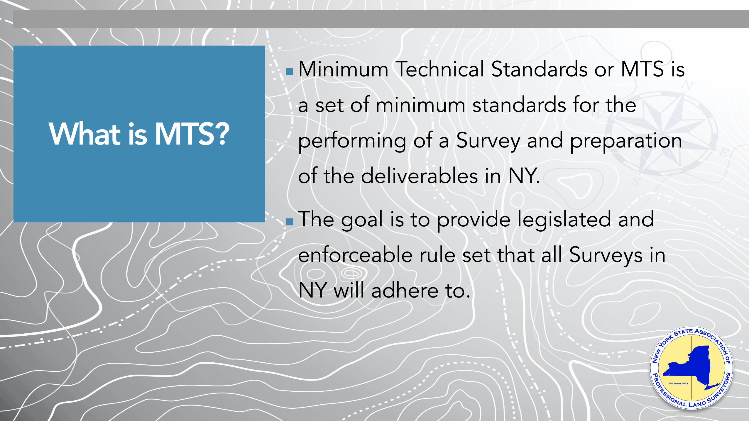
What is MTS?
▪Minimum Technical Standards or MTS is
a set of minimum standards for the
performing of a Survey and preparation
of the deliverables in NY.
▪The goal is to provide legislated and
enforceable rule set that all Surveys in
NY will adhere to.
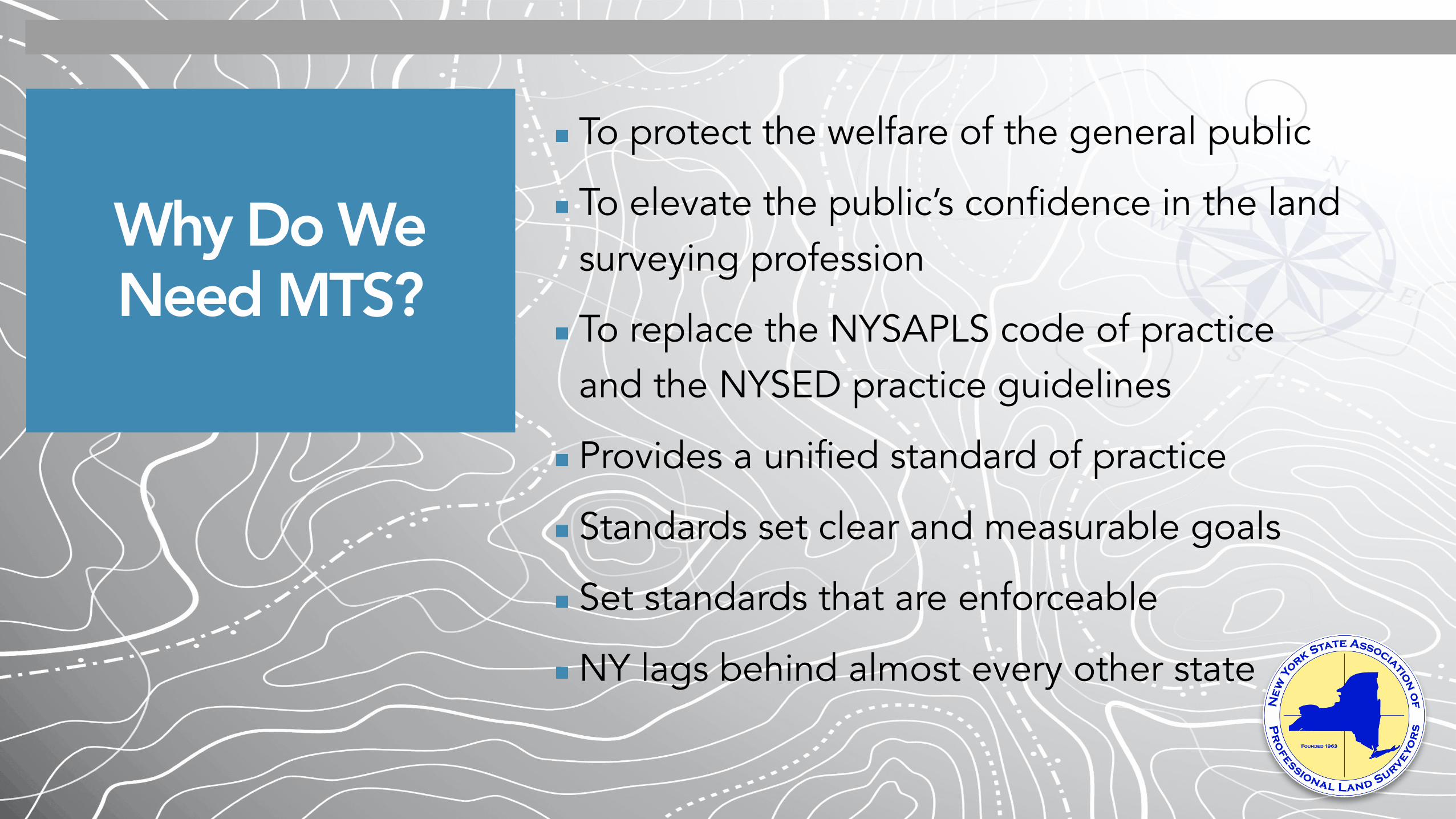
Why Do We Need MTS?
▪To protect the welfare of the general public
▪To elevate the public’s confidence in the land surveying profession
▪To replace the NYSAPLS code of practice and the NYSED practice guidelines
▪Provides a unified standard of practice
▪Standards set clear and measurable goals
▪Set standards that are enforceable
▪NY lags behind almost every other state

What Has Happened So Far,
and Upcoming Events
▪ November 17, 2017 - Committee formed as result of the strategic planning retreat
▪ September 20, 2019 - Draft presented to board
▪ September 23, 2019 - Draft shared with membership
▪ November 15, 2019 - Member comment period introduced, close January 10, 2020
▪ January 24, 2020 - Membership Discussion Forum held at the end of the NYSAPLS annual state conference
▪ February - June 2020 - MTS Committee revised / clarified document based on comments and feedback
▪ June 30, 2020 - Revised MTS document shared with Board and Membership
▪ September 11, 2020 - Webinar to air
▪ September 21, 2020 - Polls to open
▪ October 5, 2020 - Polls to close
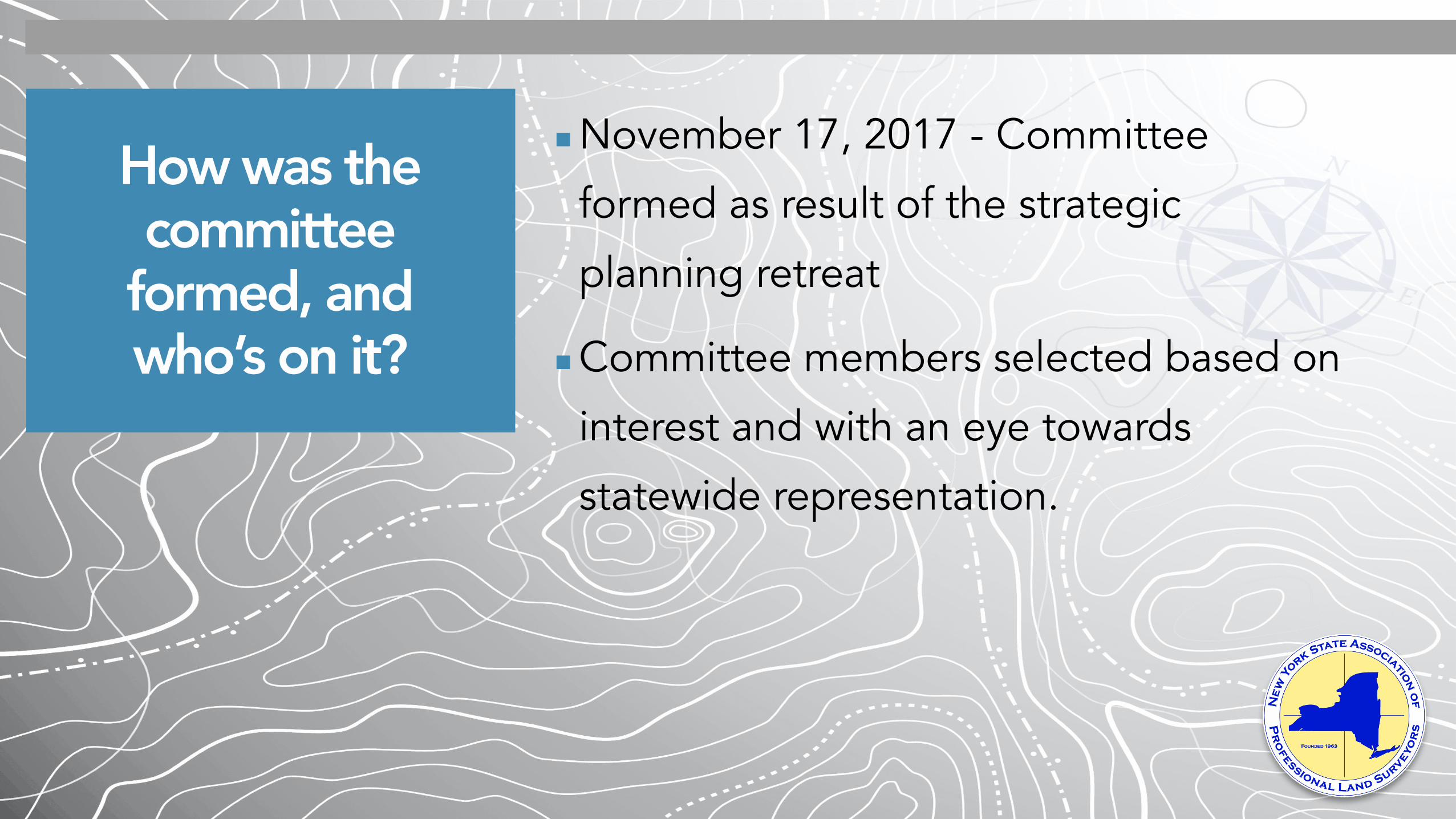
How was the committee
formed, and who’s on it?
▪November 17, 2017 - Committee
formed as result of the strategic
planning retreat
▪Committee members selected based on
interest and with an eye towards
statewide representation.
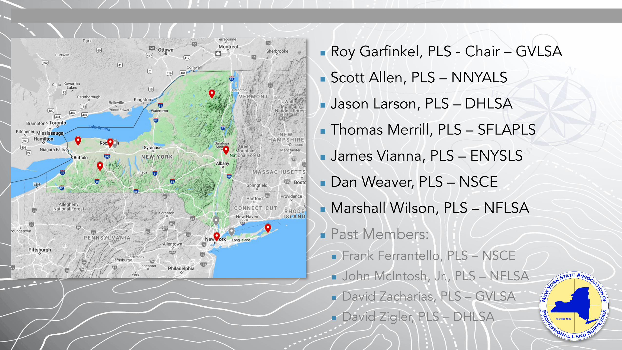
Who’s has served on the committee?
▪ Roy Garfinkel, PLS - Chair – GVLSA
▪ Scott Allen, PLS – NNYALS
▪ Jason Larson, PLS – DHLSA
▪ Thomas Merrill, PLS – SFLAPLS
▪ James Vianna, PLS – ENYSLS
▪ Dan Weaver, PLS – NSCE
▪Marshall Wilson, PLS – NFLSA
▪ Past Members: ▪ Frank Ferrantello, PLS – NSCE
▪ John McIntosh, Jr., PLS – NFLSA
▪ David Zacharias, PLS – GVLSA
▪ David Zigler, PLS – DHLSA

How was the MTS
Developed?
▪MTS Committee met via teleconference
and in person over the course of two years
to discuss and debate MTS content.
▪NY is a large and diverse state, so what
works Upstate may not work in NYC or LI
and vice versa.

Process Milestones
❑ Develop the MTS contents
❑ Obtain acceptance by NYSAPLS Board of Directors on behalf of membership as “Proposed Minimum Technical Standards”
❑ Solicit membership comment and revise/clarify MTS based on responses.
❑ Obtain acceptance by the membership by vote
❑ Present to the State Board of Education and the Office of the Professions for acceptance and move towards legislation.

Testimonials

Gary Kent, PLS Schneider Geomatics Indianapolis, Indiana
“I wholeheartedly support the NYSAPLS effort to promote a set of Minimum Technical Standards for Land Surveying in the State of New York.
No standard will please everyone – everyone will need to give a bit one way or the other - but for the good of the profession and, more importantly, to better protect the welfare and property of the citizens of the New York, professionals need to set aside their differences and work towards that goal.
Our experience in Indiana is that the standards that ISPLS adopted in 1986 and that the State Board adopted in 1988 have unquestionably improved the level of practice in the state - primarily to the benefit of the public, which is why we are licensed in the first place.”

John E. McIntosh III, PLS McIntosh & McIntosh, P.C.
Lockport, NY
“I am a third-generation land surveyor in a business that has served the public in all areas of New York State for over 65 years.
My father was a member of the MTS Committee until pancreatic cancer sadly took his life earlier this year. I applaud and endorse all of the efforts of the Committee, who unselfishly and professionally donate their valuable time, expertise and vision in forging the land surveying profession into the future by establishing standards that provide a common guide for land surveyors to follow.
Our family business has always endorsed the concept of the monumentation of property corners, to which a future retracement land surveyor has the ability to “walk in the footsteps of the prior surveyor.”

Brian D. Babcock, L.S. Engineering & Surveying
Properties, PC Montgomery, NY
“I am writing in support of the New York State Association of Professional Land Surveyors Minimum Technical Standards (MTS).
By defining the various types of surveys and the components of each type of survey, this standard will help level the playing field during the bidding process to ensure surveyors are bidding the same due diligence and at the same time, protect the public from surveys not fulfilling their purpose by omission. I am at odds as to why surveyors do not want to get paid to express their hard work determining boundary lines by monumenting their opinion. It has always been difficult to convince the client of the necessity for corner sets versus the cost. If legislated, the MTS will settle this argument once and for all and make monument sets mandatory by all surveyors.
I personally feel this is in the best interest of the public and should have a major positive impact on the often-frustrating retracement of previous surveys. When properly determined boundary lines are laid out by properly set monuments, over time this may actually reduce the cost of a survey. Not only will this preserve a surveyor’s opinion, it will also expose erroneous determinations. Exposing erroneous determinations and the potential for future cost reduction would only serve to benefit the public.
In my estimation the benefit to the MTS far outweighs any perceived encumbrances.”

Neal R. Klettke, L.S. Klettke Land Surveyors, P.C.
Niagara Falls, NY
“I submit that the introduction to society of cell phone GNSS apps
that superimpose property boundaries on the screen,
our responsibilities are more crucial than ever. In recent months I've
had forestry harvesters, realtors and even a town justice relate to me
the "accuracy" of these programs. I always tell them that “they are
remarkably often within 50 feet, but if you don't see confirming
property markings, don't get into a heated neighbor dispute without
consulting a surveyor.”
It is certain that the proposed minimum standards are in the best
interests of the public in providing a stable land tenure across all
regions of our state. I look forward voting in support of them in
pursuit of state legislation. I encourage my fellow professionals to
do likewise.”

MTS Content Frequently Asked Questions

Proposed MTS Contents
▪Purpose
▪Section 1 - Definitions
▪Section 2 – Survey Types
▪Section 3 – Research
▪Section 4 – Procedures
▪Section 5 – Equipment
▪Section 6 – Measurement Standards
▪Section 7 – Boundary Monumentation
▪Section 8 - Mapping Requirements
▪Section 9 – Survey Reports

Why define other types of surveys such
as topographical surveys?
▪At this time, Boundary Surveys are the only type of survey that requires a PLS
▪Define what a Boundary Survey is and isn’t
▪Why don’t “Surveys” require a licensed surveyor to oversee?
▪Sets the stage for inclusion of other survey types within the profession’s control and oversight
▪Helps other professions understand our profession better

What if a survey does not fall under the list of defined surveys in
these standards?
▪Defined survey types cover most situations
▪“Specific Purpose Survey” Type covers
everything else
▪Only requires the survey to state its
purpose and intent
▪Not meant to be used as a loophole to
get out of requirements for other survey
types

Where did the “Classification of
Survey by Land Use” and “Relative Precision
Table” derive from?
▪These requirements are in line with
common basic best practices as defined
by ALTA/NSPS and most of the Country
at this time.
▪With today’s equipment and procedures
these should be easily attainable
requirements.

What if there are changes in
Datums and ALTA/NSPS standards?
▪The actual MTS will be a State Board of
Education set of Regulations.
▪The Regulations will be an evolving
guideline that are intended to be updated
/ revised as needed over time.
▪When changes are needed, the MTS
committee will work with the State Board
of Education to seek the proper revisions
to the Regulations.

Will all boundary work performed require a map?
▪No
▪Some language in the MTS document
was revised to make it more clear
▪This is mainly a contractual issue that
should be worked out between the
surveyor and their client
▪ If a map is prepared, mapping standards
apply
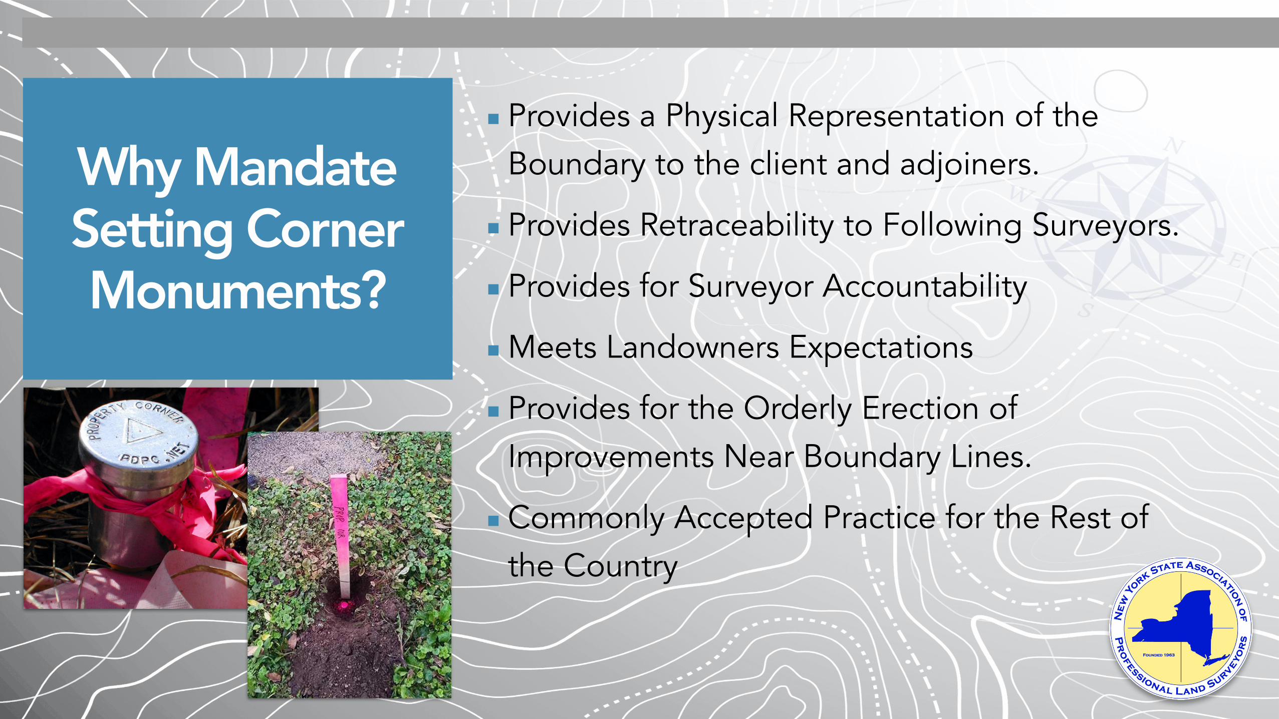
Why Mandate Setting Corner Monuments?
▪Provides a Physical Representation of the Boundary to the client and adjoiners.
▪Provides Retraceability to Following Surveyors.
▪Provides for Surveyor Accountability
▪Meets Landowners Expectations
▪Provides for the Orderly Erection of Improvements Near Boundary Lines.
▪Commonly Accepted Practice for the Rest of the Country
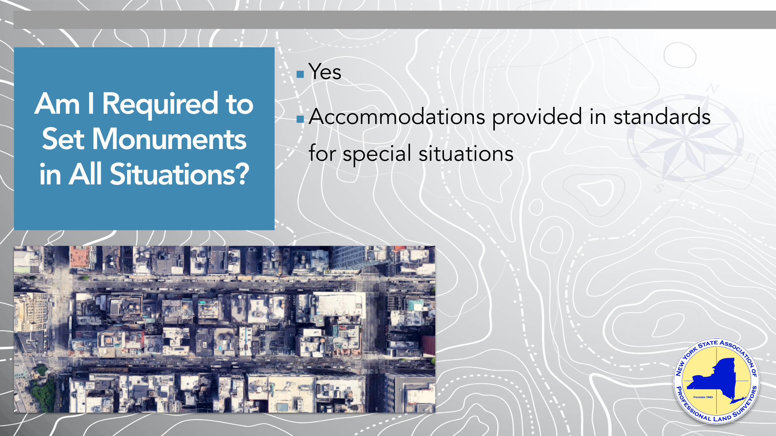
Am I Required to Set Monuments in All Situations?
▪Yes
▪Accommodations provided in standards
for special situations

How will monuments be set in urban areas
with building and obstruction issues?
▪Monuments set at corners everywhere that’s
physically unobstructed
▪Where monuments can’t be set due to a
physical obstruction you either:
▪ Set witness corners
▪ Publish at least three control points that are
geometrically tied to the survey (Control points
can be other corners)

What is the proper distance to be
allowed between corners set by other
surveyors?
▪ Surveyor should use their profession discretion, per the language in the standards:
▪ “Where an existing monument or multiple monuments are found to be in close proximity to the determined corner location, the land surveyor shall use their professional judgement and/or discretion when evaluating the relevance of said monuments to their boundary determination. Consideration shall be given as to the intent, procedures and equipment used during the time period that the existing corner monuments were established as part of the evaluation.”

How Do I Justify the Extra Cost to Client?
▪State law requires this level of effort
▪As business owner you need to explain
to client that your services must comply
to the law
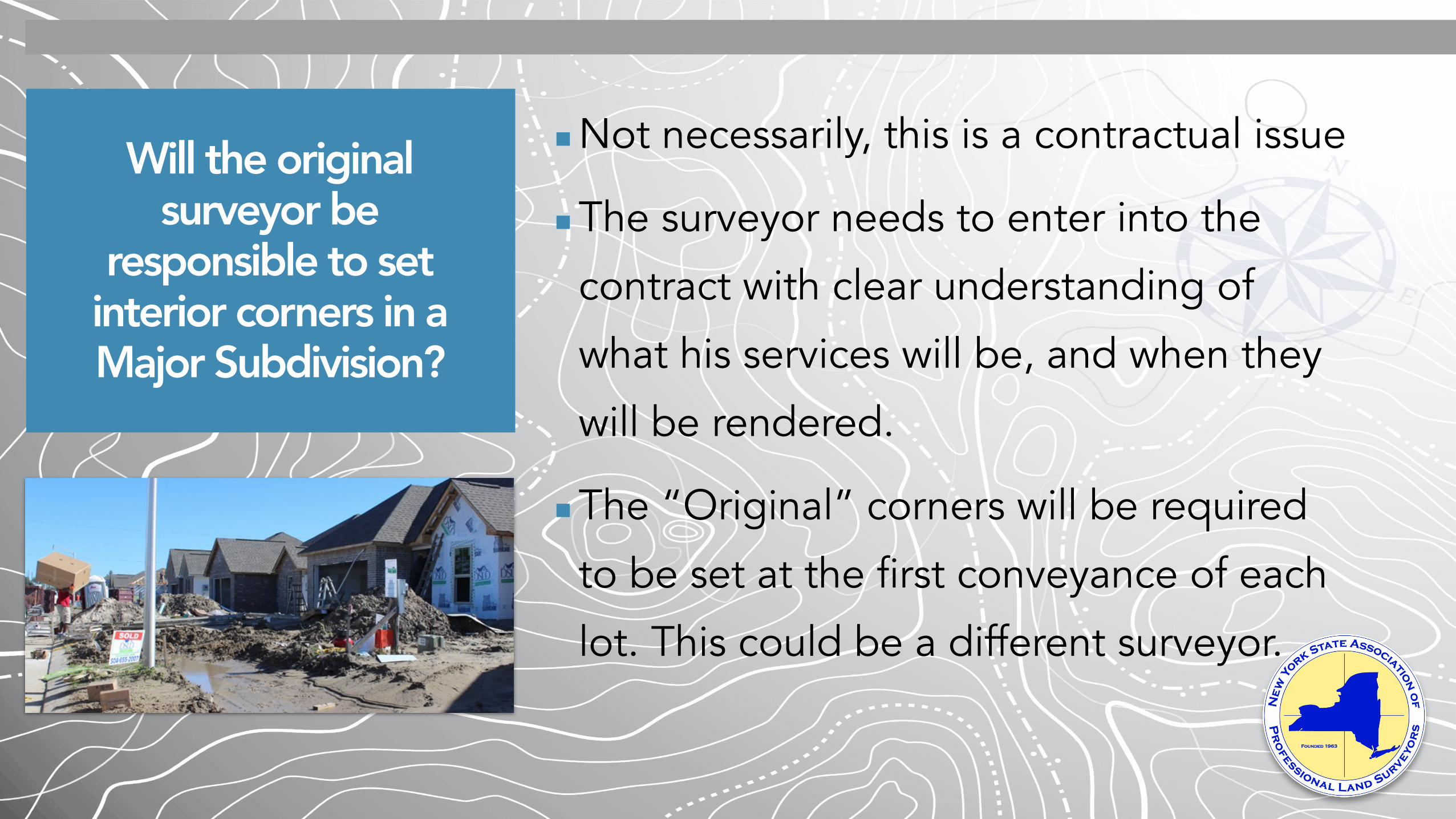
Will the original surveyor be
responsible to set interior corners in a Major Subdivision?
▪Not necessarily, this is a contractual issue
▪The surveyor needs to enter into the
contract with clear understanding of
what his services will be, and when they
will be rendered.
▪The “Original” corners will be required
to be set at the first conveyance of each
lot. This could be a different surveyor.

Will these standards put NYSAPLS
members in a financial disadvantage against
non-members?
▪No
▪Once legislated, all NY licensed
surveyors will be required to follow the
standards, not just NYSAPLS members

Why change the the required certification? Will there be issues
with the Title Company and Attorneys?
▪Simplifies the Certification
▪Technical criteria of the survey are
handled by stating that the survey
meets the MTS
▪Everything else is left to the surveyor
and client to work out
Thank you for your time and consideration.