my name planner with the policy planning team working on
TRANSCRIPT
• My name • Planner with the Policy Planning Team• Working on the New Official Plan• Specifically, I am the lead for the development of Volume 2 of the new Official Plan.
This includes the Secondary Plans and Area-Specific policies for the entire City.
1

• Ottawa’s current Official Plan, which I will refer to as the OP, was adopted by Council
in May of 2003 at the time of Amalgamation
• The OP is a legal document that addresses matters of provincial interest defined by
the Planning Act and the Provincial Policy Statement.
• The OP also serves as a basis for a wide range of municipal activities. including:
• Assessment of applications for development of land
• Planning for and approval of public works and infrastructure (such as roads,
and parks)
• Guidance to the Zoning By-law and changes to zoning
• Planning for new communities and existing areas undergoing change
• Preservation of natural systems and the wise use of resources
• Consultation and soliciting opinions from the community
2

• The existing OP is based on land-use planning best practices of the 1950s.
• Time has shown that this approach to urban planning has led to unintended
consequences and structural problems, that each successive version of the OP has
attempted to rectify.
• The current OP has had over 230 amendments including two comprehensive reviews
3
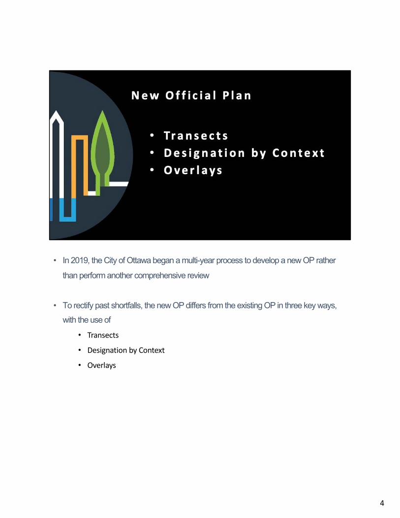
• In 2019, the City of Ottawa began a multi-year process to develop a new OP rather
than perform another comprehensive review
• To rectify past shortfalls, the new OP differs from the existing OP in three key ways, with the use of
• Transects
• Designation by Context
• Overlays
4

Transects
• The new OP will comprise of the following six Transect Areas:
• Downtown Core
• Inner Urban
• Outer Urban
• Greenbelt
• Suburban; and
• Rural
• This is different from the current OP, which only has two policy areas, being urban
and rural
• The term “Transect” in the new OP represents the continuum between high-density
downtown core, through medium density urban and suburban contexts, to rural and
natural areas
5

• This approach will guide the evolution of each Transect based on its more precise
location and context
• Each Transect will have policies that will apply to designations within that Transect.
5

Designation by Context, through
• Hubs
• Corridors
• Neighbourhoods
• The new OP will be focused on form and function.
• Form refers to the shape of buildings, open spaces and the public realm.
• Function refers to the role each type of space plays in the city.
• The policies in the new OP are centred around the proper design and placement of a
building, as opposed to the old OP, which focused on how the building was used
inside (or land use).
• This new focus allows flexibility and evolution of structures over time.
• The three main types of urban designations in the New OP are:
• Hubs (currently Mixed-Use Centres);
6

• Corridors (currently Mainstreets); and
• Neighbourhoods (currently General Urban).
• Other designations include Major Urban Greenspace, Special Districts,
Industrial designations and Rural designations
6
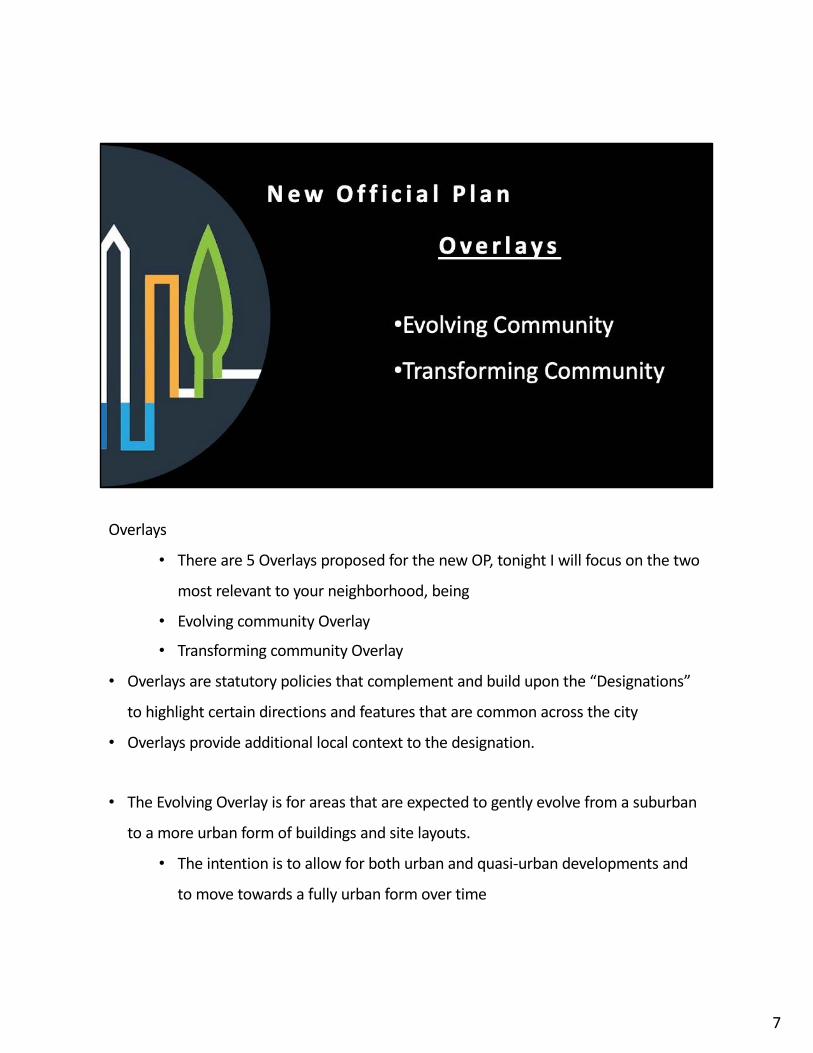
Overlays
• There are 5 Overlays proposed for the new OP, tonight I will focus on the two
most relevant to your neighborhood, being
• Evolving community Overlay
• Transforming community Overlay
• Overlays are statutory policies that complement and build upon the “Designations”
to highlight certain directions and features that are common across the city
• Overlays provide additional local context to the designation.
• The Evolving Overlay is for areas that are expected to gently evolve from a suburban
to a more urban form of buildings and site layouts.
• The intention is to allow for both urban and quasi-urban developments and
to move towards a fully urban form over time
7

• The Transforming Overlay is for areas that are expected to undergo significant
development to transform into a fully urban form.
• Developments and redevelopments in the overlay should be in a fully urban
form and will establish a new context.
7

• This mapping is from Schedule B2 of the new OP for the Inner Urban Transect Policy Area
• Grey Line is Urban Transect Boundary• Turquoise Line is a rough outline of the Community Association Area• There are policies in the New OP specific to the Inner Urban Transect Policy Area
8

• This mapping is from Schedule B3 – the Outer Urban Transect Policy Area• Again, the Grey Line is Urban Transect Boundary• The Turquoise Line is a rough outline of the Community Association Area• There are policies in the New OP specific to the Outer Urban Transect Policy Area
9

• There are policies in the New OP specific to various designations. • In the case of the Riverside Park / Mooneys Bay Neighbourhood, the designations
are Neighbourhhood, Hub, Corridor and Greenspace.• There are also specific policies for communities that are Transforming and
communities that are Evolving.• Parent OP polices for the Transforming Neighbourhood area recognizes that
the lands are at a stage of evolution, or subject to development pressures that create the opportunity to achieve a denser urban form.
• Polices for Evolving Neighbourhood support applications for amendments to the Zoning By-law for low-rise residential regeneration.
• I encourage you to look at• the B2 and B3 schedules of the New OP; • the policies for the Transects under Sections 5.2 and 5.3; • the policies for the Overlays under Section 5.6; and • the policies for the Designations under Sections 6.1, 6.2, 6.3 and Section 7.
• These are the policies that are proposed to guide the development of your neighbourhood, in the absence of a Secondary Plan, with some noted exceptions
10
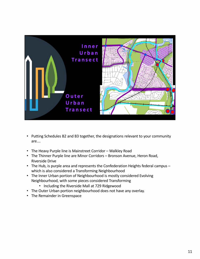
• Putting Schedules B2 and B3 together, the designations relevant to your community are….
• The Heavy Purple line is Mainstreet Corridor – Walkley Road• The Thinner Purple line are Minor Corridors – Bronson Avenue, Heron Road,
Riverside Drive• The Hub, is purple area and represents the Confederation Heights federal campus –
which is also considered a Transforming Neighbourhood• The Inner Urban portion of Neighbourhood is mostly considered Evolving
Neighbourhood, with some pieces considered Transforming• Including the Riverside Mall at 729 Ridgewood
• The Outer Urban portion neighbourhood does not have any overlay.• The Remainder in Greenspace
11

Existing Secondary Plans for Riverside Park – Mooneys Bay neighbourhood• Riverside Park Secondary Plan was created in 1999 and carried forward in 2003 with
Amalgamation of the City.• It was determined that Riverside Park was a stable built-up area and that the
secondary plan provides very little direction now. If any development was proposed for height or use that is not consistent with the Parent Official Plan, a zoning by-law amendment would have to be applied for.
• It was determined that the natural heritage policies are out of date and have been superseded by the overall natural heritage policies.
• It was determined that policies for infrastructure improvements were no longer necessary because the infrastructure has been built.
• It was determined that some parks policies are still needed, which I will discuss shortly.
• Confederation Heights Secondary Plan was created in 1997 and carried forward in 2003 with Amalgamation of the City.
• It is actually overlapped by the Riverside Park Secondary Plan, which is the newer of the two.
• The majority of these lands comprise of the federally-owned Confederation
12

Heights employment campus. • The secondary plan is dated, and any major redevelopment of the planning
area should be performed under a new secondary plan for the area, which I will discuss shortly
• In the interim, any infill development should be directed by the New Official Plan and the existing zoning
12

• It was determined that some policies that were in the secondary plans, proposed to be repealed, may still be relevant. These policies are proposed to be added to Volume 2C of the New OP
• For this neighbourhood, there are policies proposed to be carried over from the Riverside Park Secondary Plan
• to provide direction for limitations to the height of a potential retirement home at 3071 Riverside Drive.
• to provide direction for a recreation facility, if one is ever built, for 3530 Old Riverside Drive, which is lands owned by the NCC.
• There are policies proposed to be carried over from the Confederation Heights Secondary Plan
• that are deemed still relevant, • And a new policy is proposed, to require that a new secondary plan be
created, for the federally-owned Confederation Heights Campus, for when major redevelopment occurs.
• Various staff have reviewed all proposed repealed plans to see which policies are still relevant.
• I encourage you to look at the existing secondary plans for your neighbourhoods,
13

and see if there is something you believe should be carried over in Area-Specific Policy or the Parent OP, that were not.
13

Timelines
• You have until February 17 to provide your comments on the draft Plan currently on circulation
• You can either respond to the Official Plan One-pagers, found on the website or provide comment directly to [email protected]
• From March-May 2021 there will be• Public Open Houses• Issue resolution• Preparation of final version
• In June their will be a Joint PC and ARAC Meeting• In the fall 2021, we anticipate adoption at Council
14
• That concludes my presentation. We now have some time for any questions you may have.
15