leica tm30 - leica geosystemsw3.leica-geosystems.com/downloads123/zz/tps/tm30/brochures/tm30... ·...
TRANSCRIPT
20
Leica MonitoringSolutions
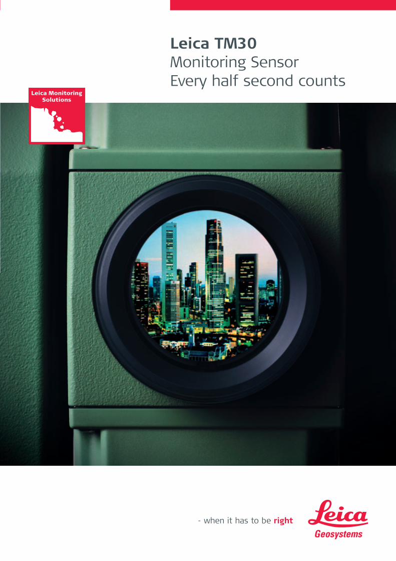
Leica TM30 Monitoring SensorEvery half second counts
772009en_Leica_TM30_NEU.indd 3772009en_Leica_TM30_NEU.indd 3 19.3.2009 10:43:56 Uhr19.3.2009 10:43:56 Uhr

Leica TM30 Monitoring SensorEvery half second countsWe live in a dynamic world. Buildings and dams settle, bridges fl ex and vibrate, rock masses shift, mud slides, glaciers fl ow and volcanoes erupt. Whether by human activity such as mining and construction or by natural processes such as climate change and erosion, the world in which we live is continually changing.
Engineering companies and contractors face increased challenges monitoring this change.
They are being charged with – and being held liable for – the condition of the structures
they create and maintain. In order to surmount these challenges, engineers need to be
able to measure structural movements to millimeter-level accuracy.
For equipment to manage and monitor these structures, engineers rely on Leica Geosystems
and the TM30 Monitoring sensor: because every half second counts!
The Leica TM30 combines accurate 0.5" measurements, together with fast data acquisi-
tion. This powerful combination of speed and accuracy allows engineers to effectively and
cost effi ciently measure and control the health of vital infrastructure. The Leica TM30,
designed specifi cally for use in monitoring applications, incorporates excellent accuracy,
outstanding reliability and robust design from a company with extensive experience in
high precision sensor technology. The combination of SmartEye vision technology and
unique direct drive technology provides faster, more precise and longer range measure-
ments than ever before.
772009en_Leica_TM30_NEU.indd 4772009en_Leica_TM30_NEU.indd 4 19.3.2009 10:48:14 Uhr19.3.2009 10:48:14 Uhr
The Leica TM30 is designed to meet the highest accuracy standards. High precision measurements, combined with automatic, fast and silent operation ensures that the TM30 detects the smallest movement in all monitoring applications.
High accuracy angular measurement The TM30 offers 0.5" or 1" angular accuracy, ensuring that the highest accuracy standards
are met every time.
SmartEye visionThe TM30 includes SmartEye vision technology to automatically measure targets up to
3000 m with millimeter accuracy. This advanced technology enables large areas to be
monitored with a single instrument, signifi cantly saving on equipment costs.
Unique high precision PinPoint EDMMeasure targets with higher accuracy than ever before with next generation PinPoint EDM
technology. The TM30 PinPoint EDM features a unique precision of 0.6 mm + 1ppm to prisms
and 2 mm + 2 ppm to natural surfaces.
Move, Lock, Measure, TransmitThe TM30 quickly moves with unmatched speed to monitor points. SmartEye vision then
effortlessly locks onto the prism. The long -range PinPoint EDM is seamlessly harmonized
with precise angle sensors to complete the measurement process. Measurement data is
then immediately available for on-board storage, or to be transmitted to any location via
cable, radio, mobile phone or the internet. The optimized high accuracy measurement
process of the TM30 ensures maximum productivity and effi ciency.
Zero noise pollutionThe TM30 is equipped with direct drives based on piezo technology which are not only
extremely fast but very quiet. The TM30 can be installed in urban areas with confi dence due
to zero noise pollution.
Leica TM30 Accurate, Fast and Silent
772009en_Leica_TM30_NEU.indd 5772009en_Leica_TM30_NEU.indd 5 19.3.2009 10:50:02 Uhr19.3.2009 10:50:02 Uhr

Leica TM30 Robust and Reliable
Critical man-made structures and natural phenomenon need to be measured continuously. The Leica TM30 will operate 24 hours a day, 365 days a year, and continue to deliver top quality measurements. The TM30 is built to be tough and to be left unattended in remote, hostile environments. The Leica TM30 distinguishes itself with robustness, reliability, minimal maintenance and lowest power consumption.
Continuous operationThe TM30 meets the challenge of 24 hours, 7 days a week monitoring applica-
tions. It is designed to withstand the roughest use in the most severe environ-
ments. The TM30 will operate throughout a wide temperature range and is
protected against wind driven rain, sand and dust. The sensor is fully operational
in bright sunlight and complete darkness.
Long service intervalsThe TM30 can operate for extremely long intervals without suffering from wear
and tear. The long service interval, low maintenance costs and continuous
operation ensure maximum productivity.
Theft protection and keyboard lockA PIN-code feature and keyboard lock prevent unauthorized persons from
using the instrument. Without a correct code, the equipment can’t be
operated or data erased. This increases your data security and makes it
unattractive to steal.
Lowest Power ConsumptionThe Leica TM30 unique piezo direct drive technology ensures maxi-
mum accuracy whilst minimizing power consumption with intelligent
on-demand power management.
772009en_Leica_TM30_NEU.indd 6772009en_Leica_TM30_NEU.indd 6 19.3.2009 10:53:02 Uhr19.3.2009 10:53:02 Uhr

Leica TM30 SmartEye Vision
Leica SmartEye vision is the combination of long range Automatic Target Recognition (ATR), TargetView and TargetCapture technology. The TM30 is the only sensor combining long range with exceptionally high accuracy to meet the demands of any monitoring application.
Long range ATRThe long range ATR detects and measures to prisms within a range of
up to 3000 m with millimeter accuracy. Long range ATR maximizes the
fl exibility of instrument placement. Instrument damage can be avoided
and security ensured, reducing overall costs in a large monitoring project.
TargetViewThe TargetView functionality narrows the fi eld of view of the ATR to the
area of interest. If there are multiple prisms close together the measure-
ment process is enhanced by detecting the correct prisms without inter-
ference from surrounding prisms.
TargetCaptureTargetCapture makes the telescopic camera image available for visual
documentation of the point measured. Obstructions in the line of sight
can be inspected remotely, avoiding safety concerns in high-risk environ-
ments.
772009en_Leica_TM30_NEU.indd 7772009en_Leica_TM30_NEU.indd 7 19.3.2009 10:54:24 Uhr19.3.2009 10:54:24 Uhr

Leica TM30Decades of experiencein precision monitoring
Leica TM30 Performance Specifi cations
Angle Measurement
Accuracy1) 0.5" (0.15 mgon), 1" (0.3 mgon)
Method Absolute, continuous, quadruple
Distance Measurement (Prism)
Range Round Prism (GPR1) 3500 m
Accuracy 2)/ Measurement time Precise 3,4) 0.6 mm + 1 ppm / typ. 7s
Standard 1 mm + 1 ppm / typ. 2.4 s
Method System analyzer based on phase shift measurement (coaxial, visible red laser)
Distance Measurement (Non-Prism)
Range5) 1000 m
Accuracy2,6) / Measurement time 2 mm + 2 ppm / typ. 3 s
Method System analyzer based on phase shift measurement (coaxial, visible red laser)
Motorization
Maximum acceleration 400 gon (360°)/ s2
Rotation Speed 200 gon (180°)/ s
Time for change face 2.9 s
Positioning Time for 200 gon (180°) 2.3 s
Method Direct drives based on Piezo technology
Automatic Target Recognition (ATR)
Range3) Round prism (GPR1) 3000 m
Accuracy1) / Measurement time (GPR1) ATR angle accuracy Hz, V 1"/ 3 - 4 s
Base positioning accuracy ± 1 mm
Pointing precision at 3000 m ± 7 mm
Minimum spacing between prism at 200 m 0.3 m
Method Digital Image processing
General
Telescope Magnifi cation / Focusing Range 30 x / 1.7 m to infi nity
Keyboard and Display ¼ VGA, colour, touch, 34 keys, illuminated
Data storage 256 MB Internal memory, Compact Flash cards 256 MB or 1 GB
Interfaces RS232, Bluetooth® Wireless
Operation Three endless drives for one or two hand manual operation
Userdefi nable Smart key for manual fast high precision measurements
Laser plummet
Standby Power Consumption typ. 5.9 W
Security Password protection and keyboard lock
Operating temperature –20° C to + 50° C (–4° F to + 122° F)
Dust / water (IEC 60529) IP54
Humidity 95%, non-condensing
1) Standard Deviation ISO-17123-32) Standard Deviation ISO-17123-43) Overcast, no haze, visibility about 40 km, no heat shimmer4) range up to 1000 m, GPH1P refl ector5) Object in shade, sky overcast, Kodak Gray Card (90% refl ective)6) Distance > 500 m 4 mm + 2 ppm
Leica Geosystems has unrivalled experience in precise monitoring with instruments operating
around the world for decades. Building on this experience, the Leica TM30 is the latest generation
of total stations designed specifi cally for precise monitoring. Offering full backward compatibility,
the Leica TM30 can be installed in any new or existing monitoring project.
772009en_Leica_TM30_NEU.indd 8772009en_Leica_TM30_NEU.indd 8 19.3.2009 10:56:35 Uhr19.3.2009 10:56:35 Uhr

The Leica TM30 forms one component of a unique Monitoring solution
which seamlessly integrates total stations, GNSS receivers and antennas,
geotechnical sensors, software and IT communication infrastructures.
Leica GeoMoS software provides a highly fl exible automatic deformation
monitoring system that is able to combine geodetic, geotechnical and
meteorological sensors to match the needs of your monitoring project,
whether it is large or small, temporary or permanent.
Leica GeoMoS Web is a web based service for the visualization and
analysis of monitoring data collected by a GeoMoS monitoring system.
Access your monitoring project anywhere, anytime using your web
browser, pocket pc or mobile phone.
Leica MonitoringSolutions
Leica TM30 Complete Monitoring Integration
LeicaGeoMoS
GMX
LeicaGeoMoS
Web
GMX902GG
NIVEL 210
NIVEL 220
GMX901 TM30
772009en_Leica_TM30_NEU.indd 1772009en_Leica_TM30_NEU.indd 1 19.3.2009 10:58:24 Uhr19.3.2009 10:58:24 Uhr

Leica Geosystems AG Heerbrugg, Switzerland
www.leica-geosystems.com
Leica Monitoring Solutions
Leica TS30 Software Leica GeoMoSLeica GNSS SpiderLeica GNSS QCLeica GeoMoS Web
GPS/GNSS Leica GMX902 GGLeica GRX1200 SeriesLeica GPS1200 SeriesLeica GMX901
Other Leica Nivel210/220Leica GPR112Monitoring Prism
Illustrations, descriptions and technical data are not binding. All rights reserved. Printed in Switzerland – Copyright Leica Geosystems AG, Heerbrugg, Switzerland, 2009. 772009en – II.09 – RDV
Whether you monitor the movement of a volcanic slope, the structure
of a long bridge or track the settlement of a dam; whether you measure,
analyse and manage the structures of natural or man-made objects:
the monitoring systems by Leica Geosystems provide you with the right
solution for every application.
Our solutions provide reliable, precise data acquisition, advanced
processing, sophisticated analysis and secure data transmission. Using
standard interfaces, open architectures and scalable platforms, the
solutions are customizable to meet individual requirements – for
permanent and temporary installations, for single sites and monitoring
networks.
When it has to be right.
Total Quality Management – our commitment to total customer satisfaction.
Ask your local Leica Geosystems dealer for more informationabout our TQM program.
Distance meter (Prism), ATR:Laser class 1 in accordancewith IEC 60825-1 resp. EN60825-1
Laser plummet:Laser class 2 in accordancewith IEC 60825-1 resp. EN60825-1
Distance meter (Non-Prism):Laser class 3R in accordancewith IEC 60825-1 resp. EN60825-1
The Bluetooth® word mark andlogos are owned by BluetoothSIG, Inc. and any use of suchmarks by Leica Geosystems AG isunder license. Other trademarksand trade names are those oftheir respective owners.
772009en_Leica_TM30_NEU.indd 2772009en_Leica_TM30_NEU.indd 2 19.3.2009 10:59:45 Uhr19.3.2009 10:59:45 Uhr