introduction to gis systems ady ecker. history applications cartography cartography military c 4 i...
Post on 19-Dec-2015
230 views
TRANSCRIPT
Introduction toIntroduction to GIS Systems GIS Systems
Ady EckerAdy Ecker
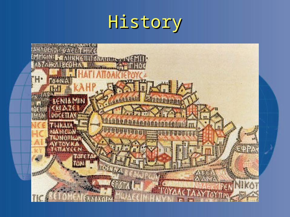
HistoryHistory
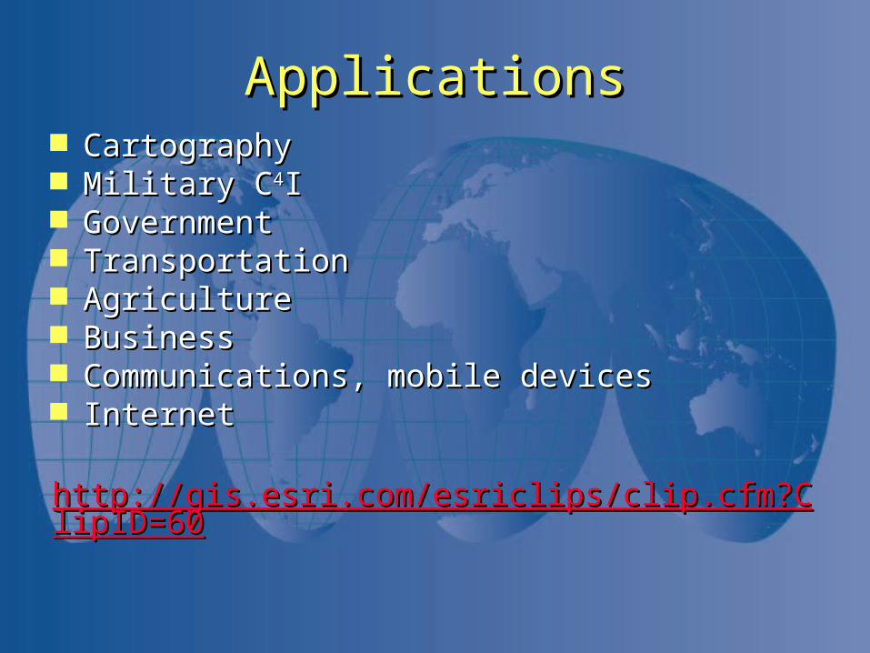
ApplicationsApplications CartographyCartography Military CMilitary C44II GovernmentGovernment TransportationTransportation AgricultureAgriculture BusinessBusiness Communications, mobile devicesCommunications, mobile devices InternetInternet
http://gis.esri.com/esriclips/clip.cfm?ClipID=60http://gis.esri.com/esriclips/clip.cfm?ClipID=60
The North Carolina Center for Geographic
Information & Analysis (CGIA)
The North Carolina Center for Geographic
Information & Analysis (CGIA)
For More Information
www.cgia.state.nc.us
For More Information
www.cgia.state.nc.us
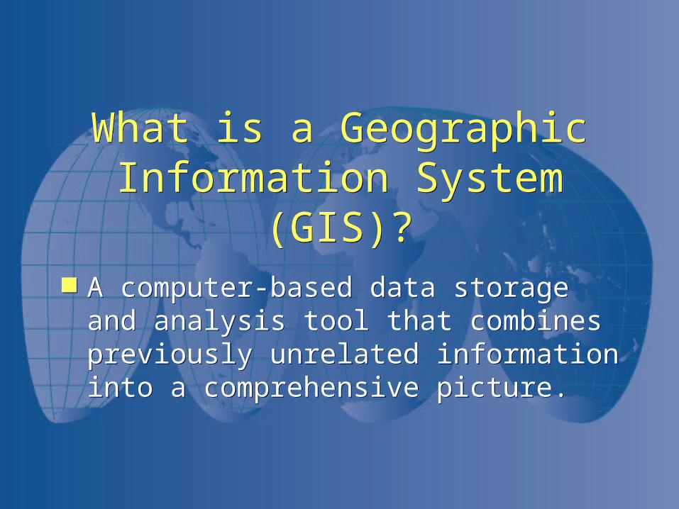
What is a Geographic Information System (GIS)?
What is a Geographic Information System (GIS)?
A computer-based data storage and analysis tool that combines previously unrelated information into a comprehensive picture.
A computer-based data storage and analysis tool that combines previously unrelated information into a comprehensive picture.
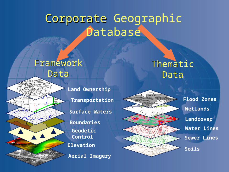
Aerial Imagery
Elevation
Geodetic Control
Boundaries
Surface Waters
Transportation
Land Ownership
Thematic DataThematic DataFramework DataFramework Data
Soils
Sewer Lines
Water Lines
Landcover
Wetlands
Flood Zones
CorporateCorporate Geographic Database
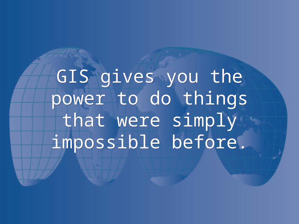
GIS gives you the power to do things that were simply
impossible before.
GIS gives you the power to do things that were simply
impossible before.
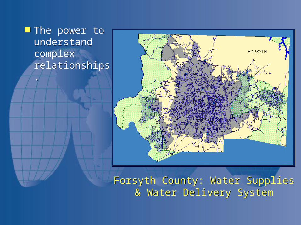
The power to understand complex relationships.
The power to understand complex relationships.
Forsyth County: Water Supplies & Water Delivery System
Forsyth County: Water Supplies & Water Delivery System
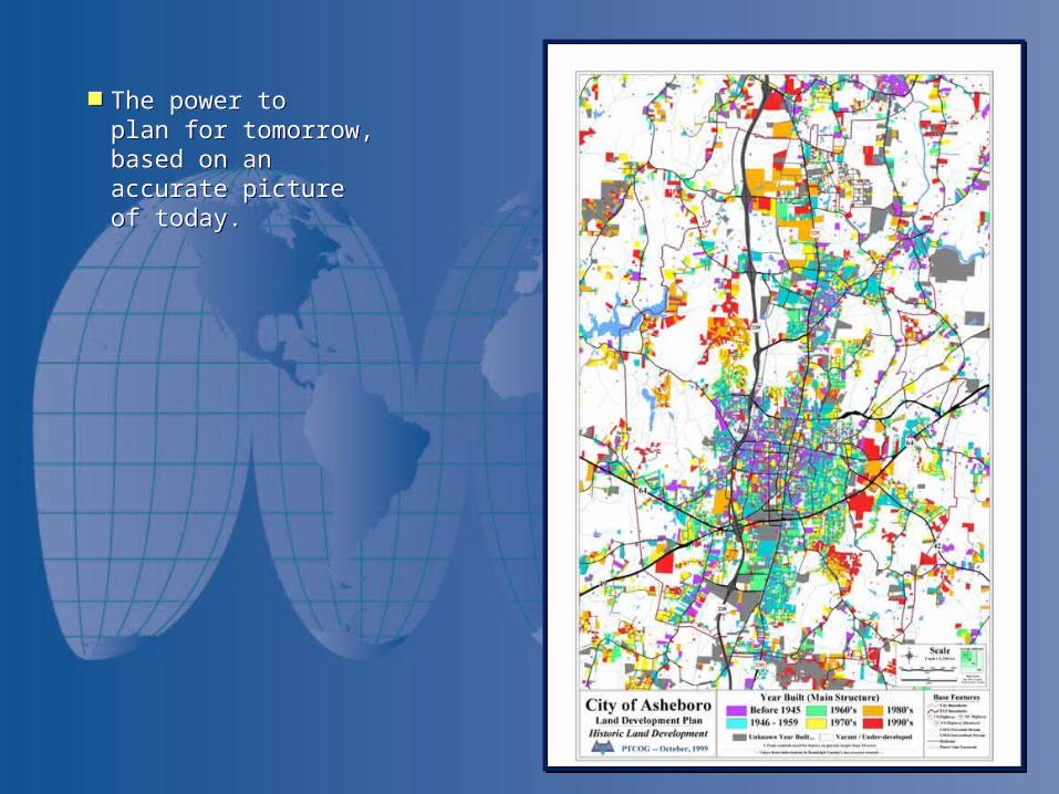
The power to plan for tomorrow, based on an accurate picture of today.
The power to plan for tomorrow, based on an accurate picture of today.
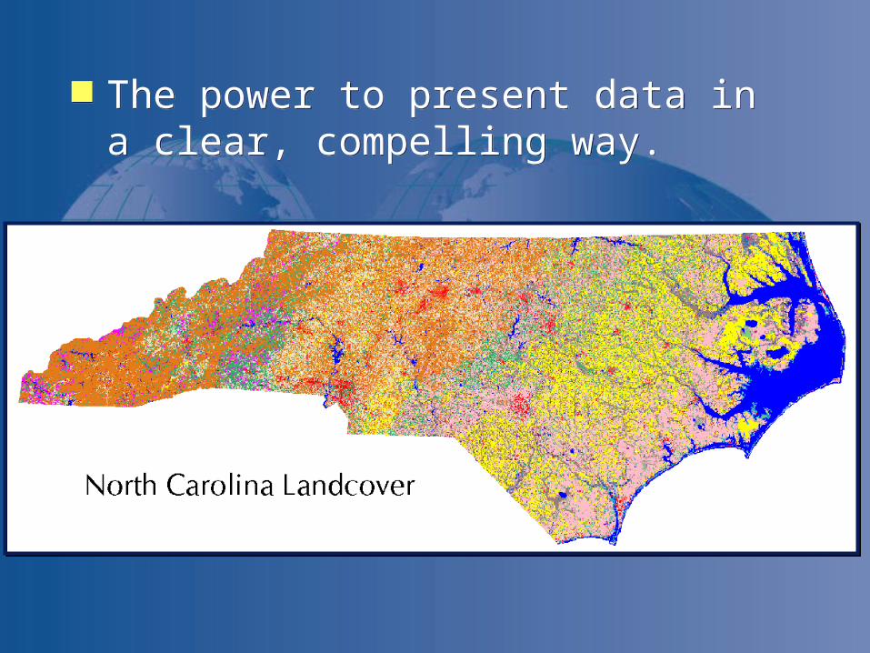
The power to present data in a clear, compelling way.
The power to present data in a clear, compelling way.
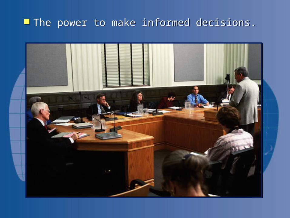
The power to make informed decisions. The power to make informed decisions.
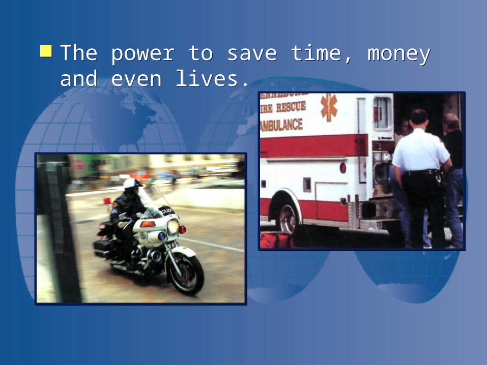
The power to save time, money and even lives.
The power to save time, money and even lives.
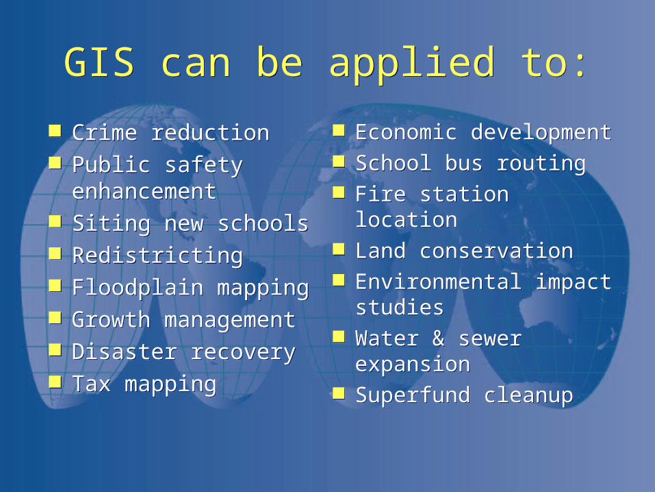
GIS can be applied to:GIS can be applied to:
Crime reduction Public safety
enhancement Siting new schools Redistricting Floodplain mapping Growth management Disaster recovery Tax mapping
Crime reduction Public safety
enhancement Siting new schools Redistricting Floodplain mapping Growth management Disaster recovery Tax mapping
Economic development School bus routing Fire station location Land conservation Environmental impact
studies Water & sewer expansion Superfund cleanup
Economic development School bus routing Fire station location Land conservation Environmental impact
studies Water & sewer expansion Superfund cleanup
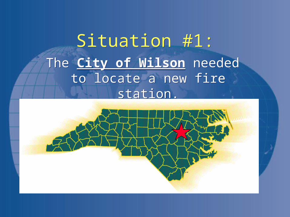
Situation #1:Situation #1:The City of Wilson needed to locate
a new fire station.The City of Wilson needed to locate
a new fire station.
Wilson, N.C.Wilson, N.C.
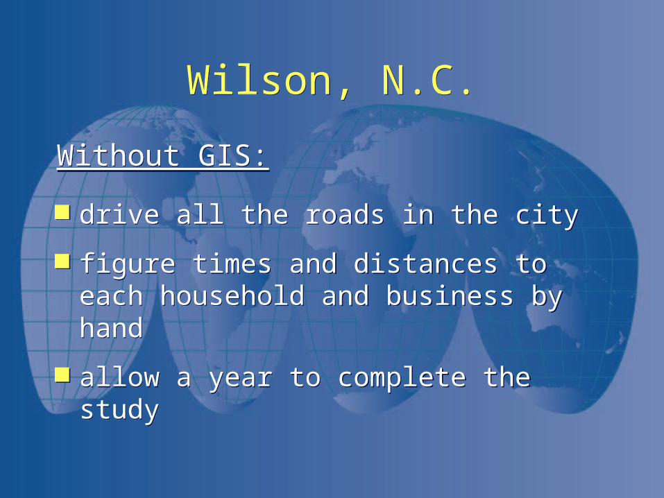
drive all the roads in the city
figure times and distances to each household and business by hand
allow a year to complete the study
drive all the roads in the city
figure times and distances to each household and business by hand
allow a year to complete the study
Without GIS:Without GIS:
Wilson, N.C.Wilson, N.C.
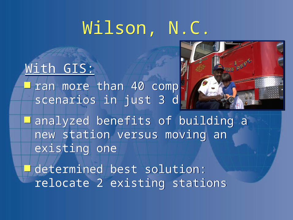
With GIS: ran more than 40 computer
scenarios in just 3 days
analyzed benefits of building a new station versus moving an existing one
determined best solution: relocate 2 existing stations
With GIS: ran more than 40 computer
scenarios in just 3 days
analyzed benefits of building a new station versus moving an existing one
determined best solution: relocate 2 existing stations
Wilson, N.C.Wilson, N.C.
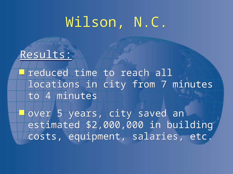
Results:
reduced time to reach all locations in city from 7 minutes to 4 minutes
over 5 years, city saved an estimated $2,000,000 in building costs, equipment, salaries, etc.
Results:
reduced time to reach all locations in city from 7 minutes to 4 minutes
over 5 years, city saved an estimated $2,000,000 in building costs, equipment, salaries, etc.
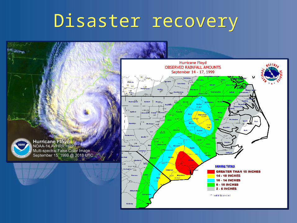
Disaster recoveryDisaster recovery
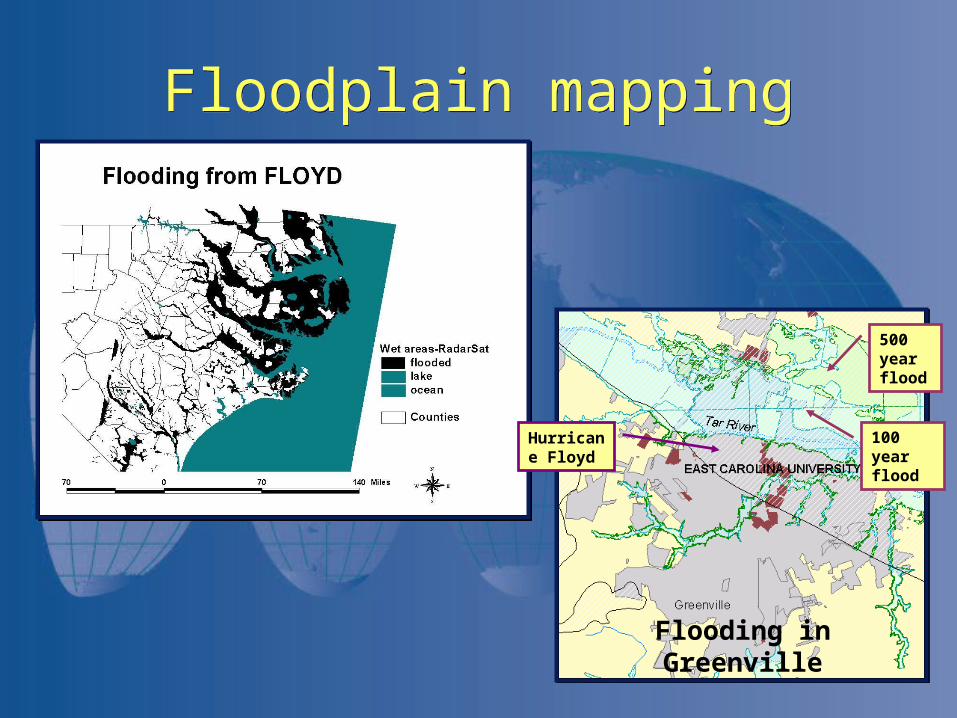
Floodplain mappingFloodplain mapping
Hurricane Floyd
100 year flood
500 year flood
Flooding in Greenville
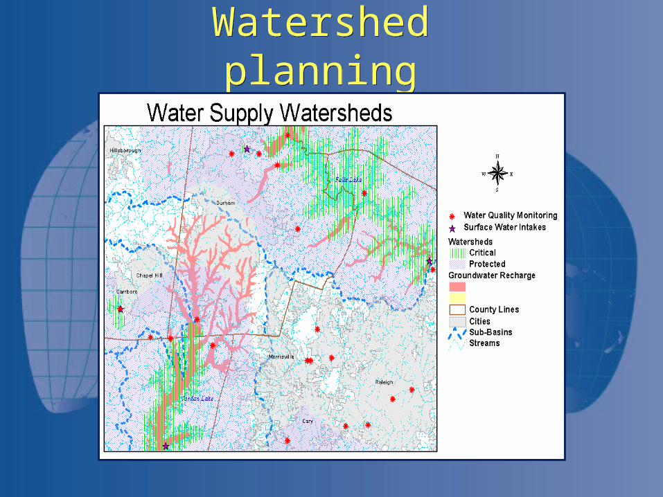
Watershed planningWatershed planning
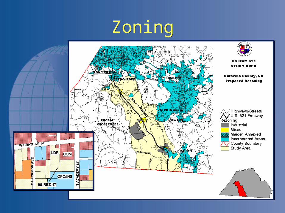
ZoningZoning
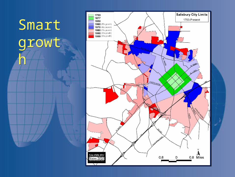
Smart growthSmart growth
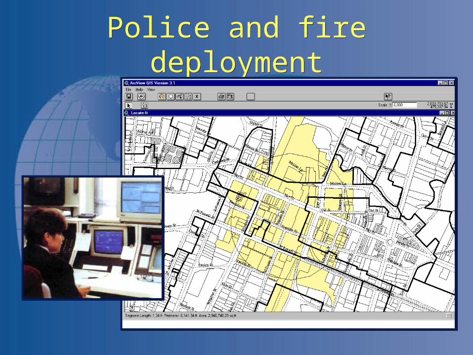
Police and fire deploymentPolice and fire deployment
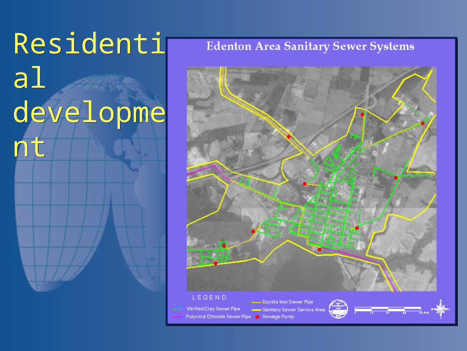
Residential developmentResidential development
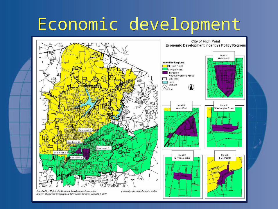
Economic developmentEconomic development

Fund allocationFund allocation
Prime Farmland in Johnston County
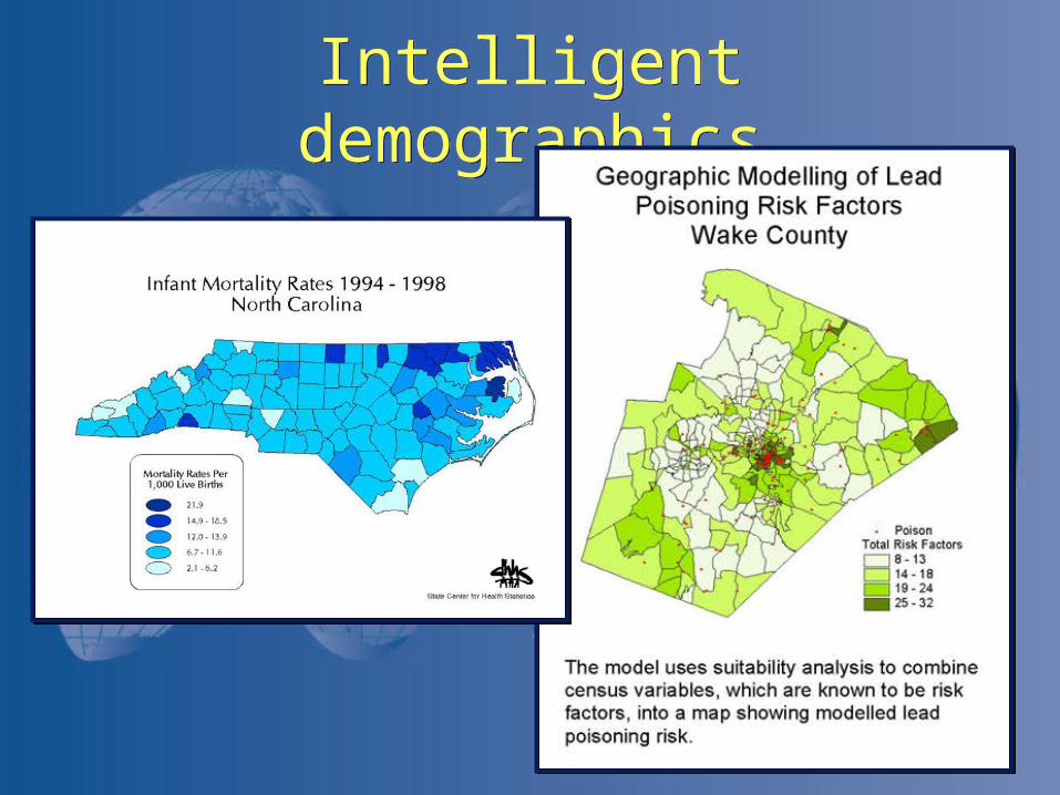
Intelligent demographicsIntelligent demographics
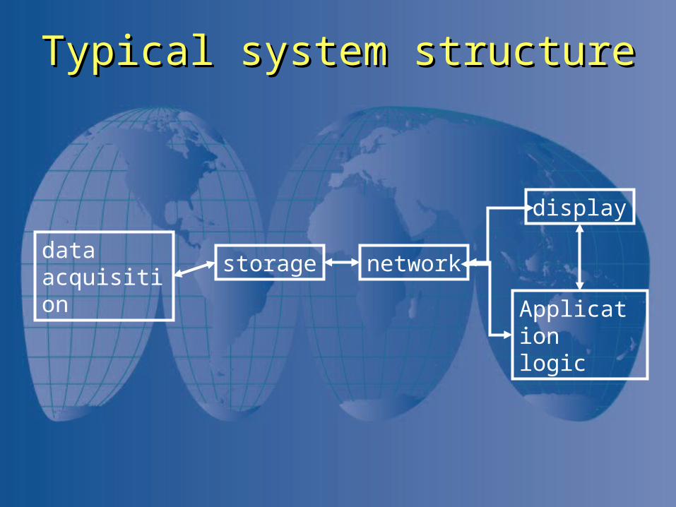
Typical system structureTypical system structure
data acquisition
storage network
display
Application logic
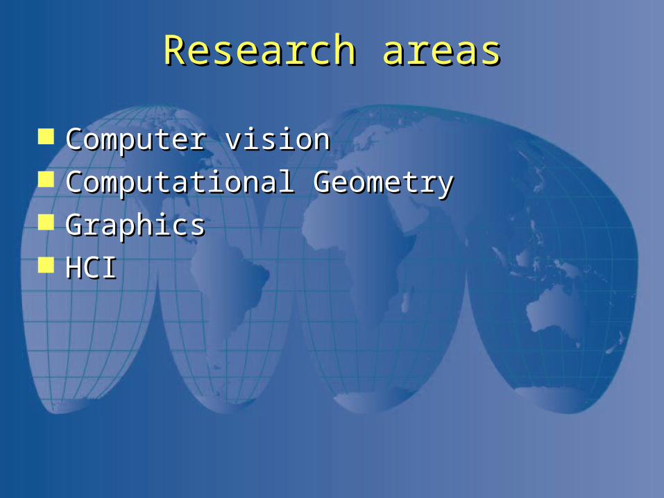
Research areasResearch areas
Computer visionComputer vision Computational GeometryComputational Geometry GraphicsGraphics HCIHCI
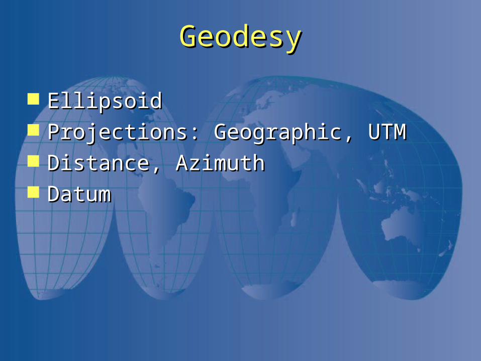
GeodesyGeodesy
EllipsoidEllipsoid Projections: Geographic, UTMProjections: Geographic, UTM Distance, AzimuthDistance, Azimuth DatumDatum
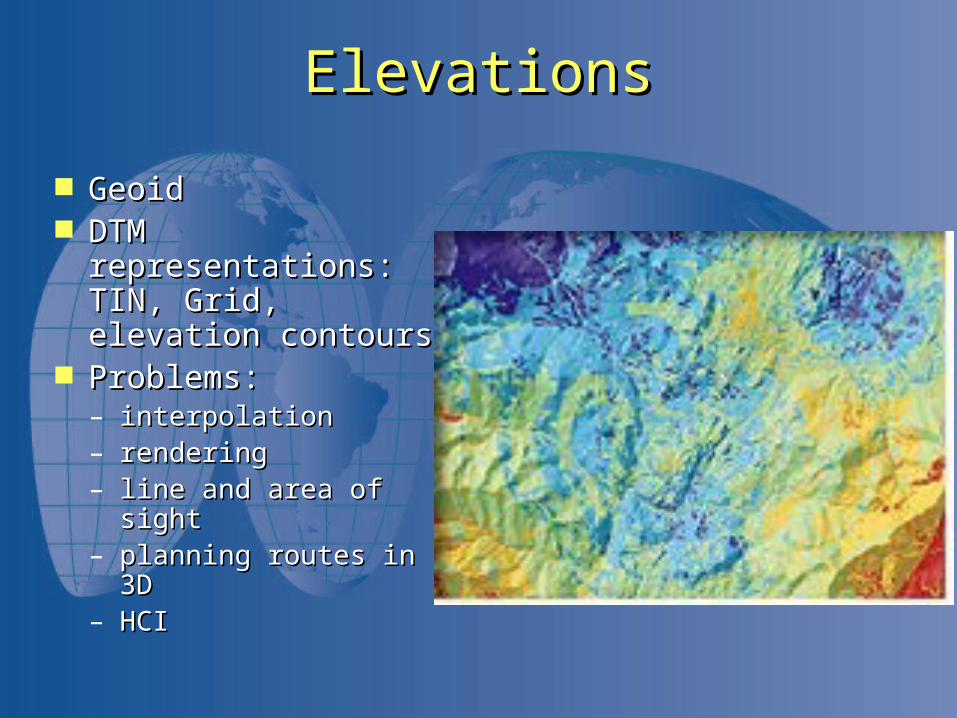
ElevationsElevations
GeoidGeoid DTM representations: DTM representations:
TIN, Grid, elevation TIN, Grid, elevation contourscontours
Problems: Problems: – interpolation interpolation – renderingrendering– line and area of sight line and area of sight – planning routes in 3Dplanning routes in 3D– HCIHCI
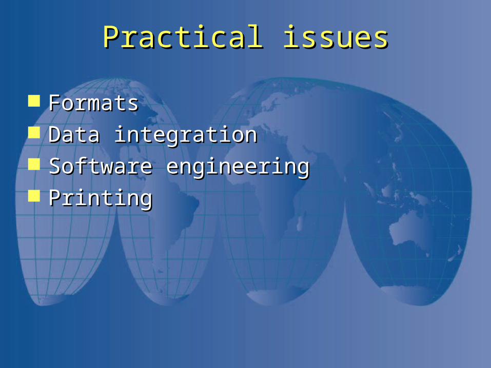
Practical issuesPractical issues
FormatsFormats Data integrationData integration Software engineeringSoftware engineering PrintingPrinting
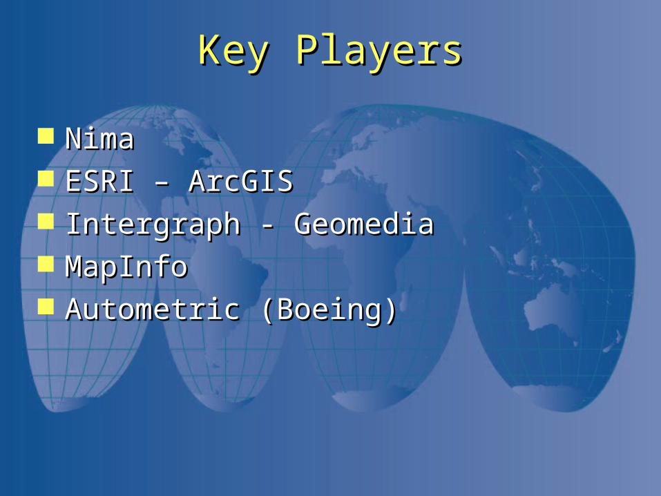
Key PlayersKey Players
NimaNima ESRI – ArcGISESRI – ArcGIS Intergraph - GeomediaIntergraph - Geomedia MapInfoMapInfo Autometric (Boeing)Autometric (Boeing)
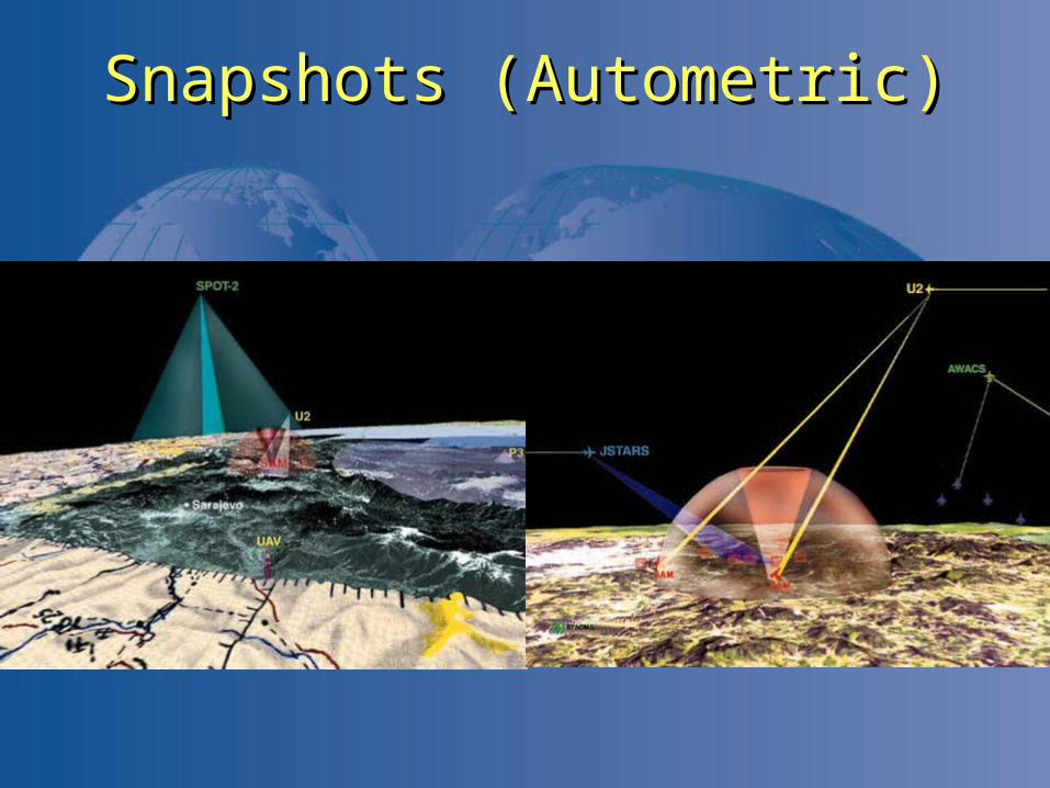
Snapshots (Autometric)Snapshots (Autometric)
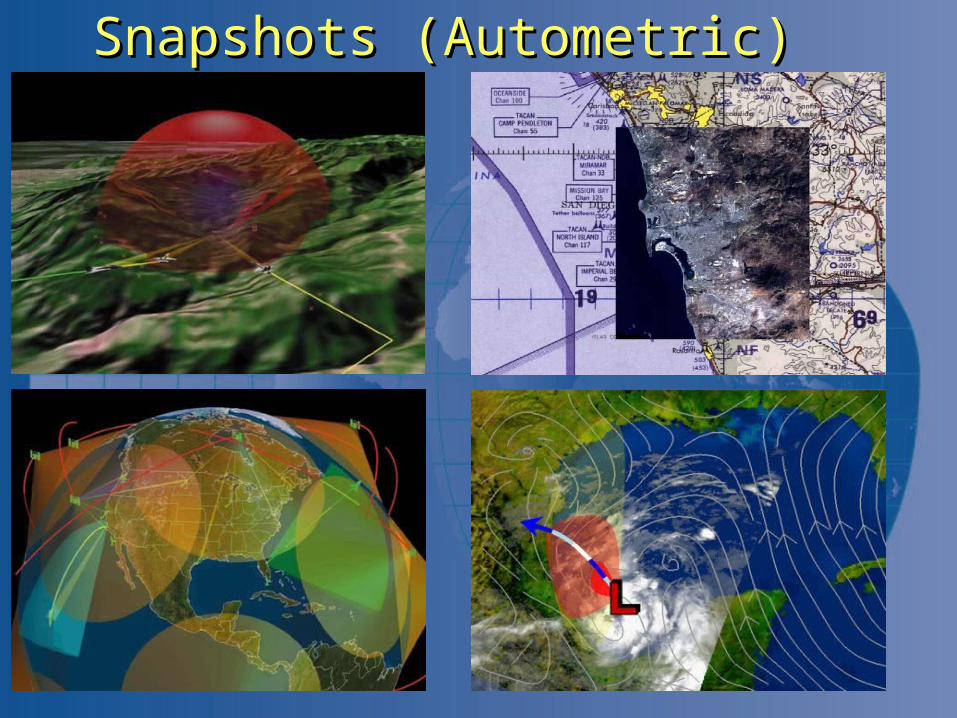
Snapshots (Autometric)Snapshots (Autometric)
ESRIESRI
http://gis.esri.com/esriclips/clip.cfm?ClipID=8http://gis.esri.com/esriclips/clip.cfm?ClipID=833
http://gis.esri.com/esriclips/clip.cfm?clipID=1http://gis.esri.com/esriclips/clip.cfm?clipID=11111
http://gis.esri.com/esriclips/clip.cfm?clipID=1http://gis.esri.com/esriclips/clip.cfm?clipID=10707
GeoMedia DemosGeoMedia Demos
QueriesQueries
SkylineSkyline
http://www.skylinesoft.com/corporate/go3d/gohttp://www.skylinesoft.com/corporate/go3d/go3d_home.asp?StartCity=Washington3d_home.asp?StartCity=Washington

The EndThe End