informed maritime decisions - … · together with other national hydrographic offi ces and the...
TRANSCRIPT

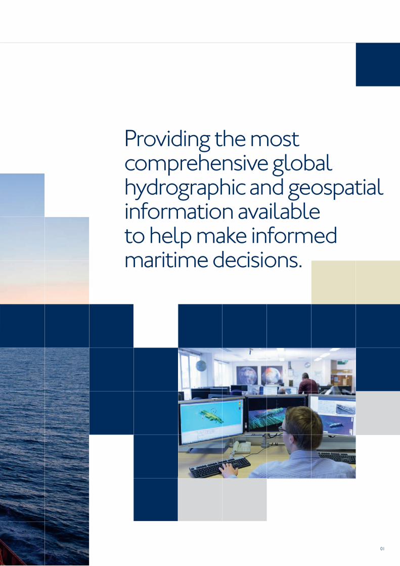
Informed maritime decisions
01
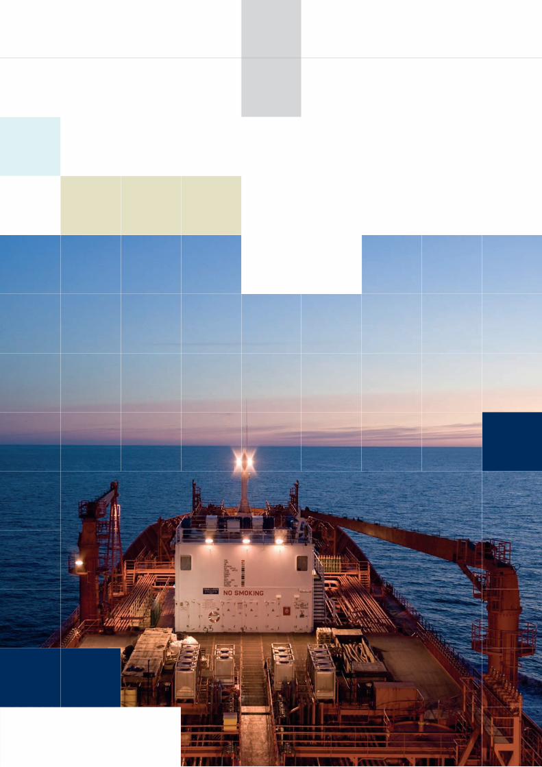
Providing the most comprehensive global hydrographic and geospatial information available to help make informed maritime decisions.
02
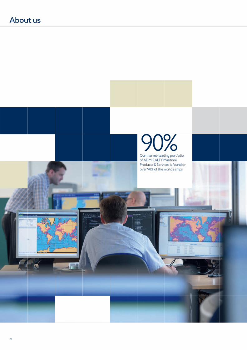
90%Our market-leading portfolio
of ADMIRALTY Maritime
Products & Services is found on
over 90% of the world’s ships
About us
03
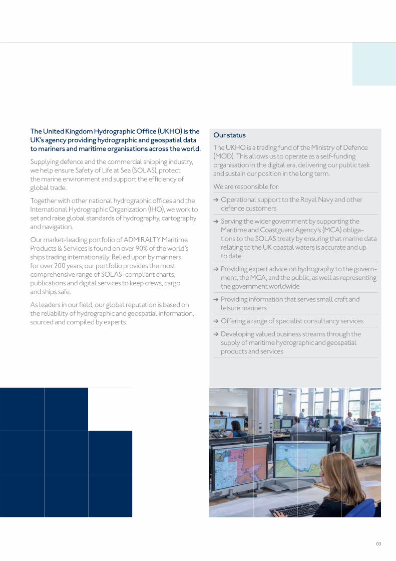
Our status
The UKHO is a trading fund of the Ministry of Defence
(MOD). This allows us to operate as a self-funding
organisation in the digital era, delivering our public task
and sustain our position in the long term.
We are responsible for:
➔ Operational support to the Royal Navy and other
defence customers
➔ Serving the wider government by supporting the
Maritime and Coastguard Agency’s (MCA) obliga-
tions to the SOLAS treaty by ensuring that marine data
relating to the UK coastal waters is accurate and up
to date
➔ Providing expert advice on hydrography to the govern-
ment, the MCA, and the public, as well as representing
the government worldwide
➔ Providing information that serves small craft and
leisure mariners
➔ Offering a range of specialist consultancy services
➔ Developing valued business streams through the
supply of maritime hydrographic and geospatial
products and services
The United Kingdom Hydrographic Offi ce (UKHO) is the
UK’s agency providing hydrographic and geospatial data
to mariners and maritime organisations across the world.
Supplying defence and the commercial shipping industry,
we help ensure Safety of Life at Sea (SOLAS), protect
the marine environment and support the effi ciency of
global trade.
Together with other national hydrographic offi ces and the
International Hydrographic Organization (IHO), we work to
set and raise global standards of hydrography, cartography
and navigation.
Our market-leading portfolio of ADMIRALTY Maritime
Products & Services is found on over 90% of the world’s
ships trading internationally. Relied upon by mariners
for over 200 years, our portfolio provides the most
comprehensive range of SOLAS-compliant charts,
publications and digital services to keep crews, cargo
and ships safe.
As leaders in our fi eld, our global reputation is based on
the reliability of hydrographic and geospatial information,
sourced and compiled by experts.
04
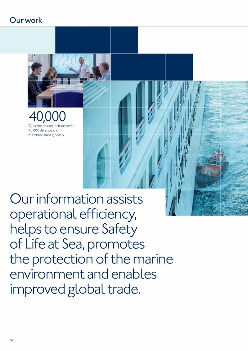
Our information assists operational effi ciency, helps to ensure Safety of Life at Sea, promotes the protection of the marine environment and enables improved global trade.
40,000Our core market includes over
40,000 defence and
merchant ships globally
Our work
05
We are committed to delivering the most reliable
maritime information available to aid more informed
decision-making.
This information supports commercial and defence
organisations worldwide. It assists operational effi ciency,
helps to ensure Safety of Life at Sea, promotes the
protection of the marine environment, and enables
improved global trade.
Our core market includes over 40,000 defence and
merchant ships globally. We also operate in a number
of related market sectors including leisure, astronomical
applications, hydrographic and cartographic training.
Working closely with other national hydrographic offi ces
and maritime organisations around the world, we work
together to set and raise global standards of hydrography,
nautical cartography and maritime navigation.
We collect, compile, analyse and supply global maritime
data in a wide variety of formats, including millions of items
per year under the ADMIRALTY Maritime Products &
Services brand.
While much of our data depicts physical features and
objects on the seafl oor, the depth and breadth of our global
marine geospatial data, gathered over the course of over
200 years of operation, is far more extensive and offers
greater scope than navigation alone.
The range of worldwide data includes tidal height and tidal
stream data, navigational hazards, over 70,000 individual
light structures, port information, climatic conditions,
maritime radio communications information and security-
related information.
Maritime safety information
We continually assess incoming hydrographic data
immediately for vital safety information. Urgent updates are
issued as navigational warnings or chart-updating Notices
to Mariners (NMs). While many warnings are of a temporary
nature, others may remain in force for several weeks and
may be replaced by NMs.
70,000Over 70,000 individual light
structures worldwide
06
ADMIRALTY Maritime Products & Services is
the most comprehensive, most widely used maritime
navigation portfolio in the world.
Generations of mariners have relied on ADMIRALTY
Maritime Products & Services to make the right decisions
for safe passage, and can be found on over 90% of the
world’s ships trading internationally.
Our market-leading range of offi cial, SOLAS-compliant
charts and publications have been designed to aid voyage
planning, navigation and navigational training.
Our portfolio contains the widest offi cial coverage of the
world’s busiest international shipping routes and ports,
and includes over 250 paper and digital publications, 3,500
Standard Nautical Charts (SNCs), and over 14,000
Electronic Navigational Charts (ENCs). The range is
reviewed frequently to ensure that the latest information is
available for safe navigation, to take into account new port
developments, changing trade patterns and new routes.
ADMIRALTY Vector Chart Service (AVCS) is the world’s
leading ENC service offering the most comprehensive,
offi cial coverage available and can operate on all makes of
Electronic Chart Display & Information Systems (ECDIS).
ADMIRALTY Digital Publications (ADPs) and e-Nautical
Publications (e-NPs) save time, are easy to use and are
approved by the majority of Flag and Port State Authorities.
Whether in digital or paper format, or whether they are
required for planning or navigation purposes, all ADMIRALTY
Maritime Products & Services are quality assured by
the UKHO.
To ensure the ADMIRALTY Maritime Products & Services
portfolio is available globally, we have a worldwide
network of ISO9001-accredited chart agents who also
provide frontline support.
Alternatively, our dedicated in-house customer service
team is available day in, day out – whatever the query
and wherever your journey takes you, 24/7, worldwide,
365 days a year. You can fi nd additional guidance and
support, such as instructional guides and fi lms, on our
website: www.admiralty.co.uk
3,500+Standard Nautical Charts (SNCs)
14,000+Electronic Navigational Charts (ENCs)
Our commercial portfolio
07
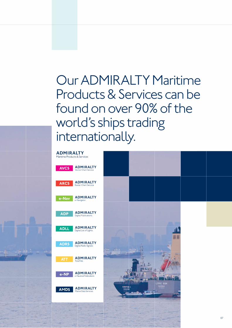
Our ADMIRALTY Maritime Products & Services can be found on over 90% of the world’s ships trading internationally.

08
Our global reputation is built on the integrity of our information, and we employ many global experts to ensure this information is consistent and up to date.
Our experts
09
Source Data Receipt (SDR)
The SDR team digitally catalogues and routes incoming
hydrographic data to relevant departments, to ensure our
products are updated with the latest information available.
Compiling teams
Teams of nautical cartographers and other experts assess
information that is relevant to the region they are grouped
in, update products via NMs, and compile new editions
or new charts/ENCs.
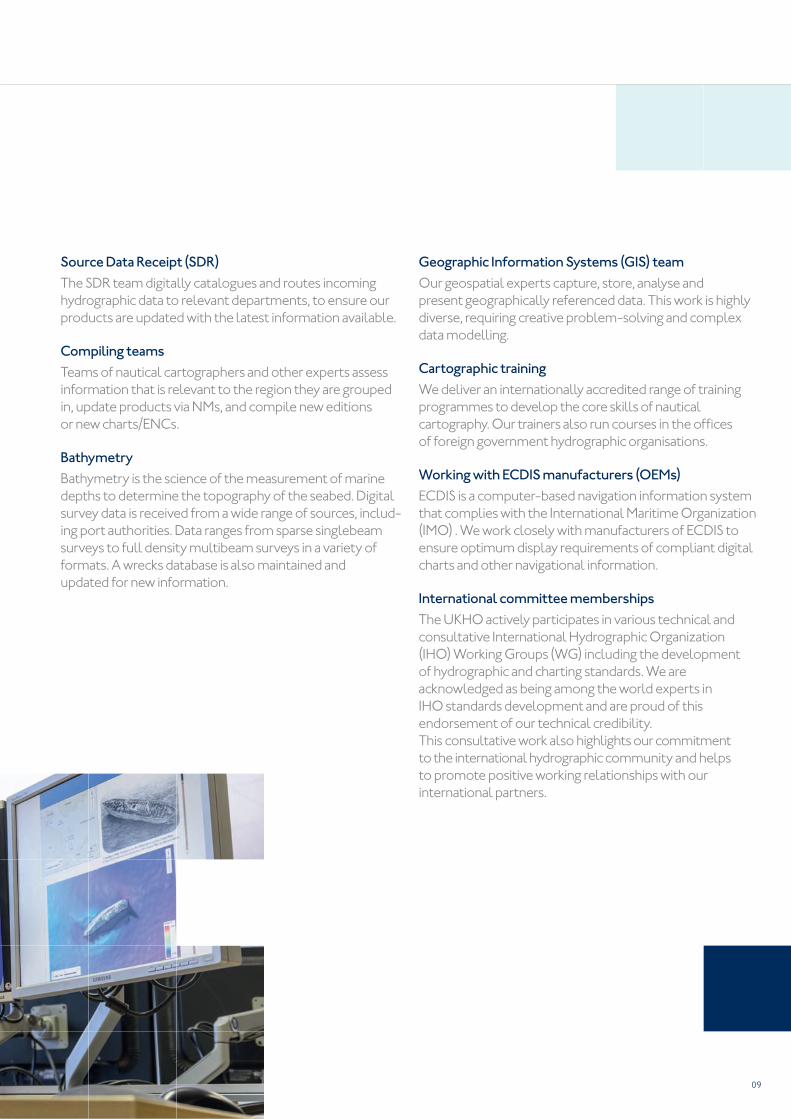
Bathymetry
Bathymetry is the science of the measurement of marine
depths to determine the topography of the seabed. Digital
survey data is received from a wide range of sources, includ-
ing port authorities. Data ranges from sparse singlebeam
surveys to full density multibeam surveys in a variety of
formats. A wrecks database is also maintained and
updated for new information.
Geographic Information Systems (GIS) team
Our geospatial experts capture, store, analyse and
present geographically referenced data. This work is highly
diverse, requiring creative problem-solving and complex
data modelling.
Cartographic training
We deliver an internationally accredited range of training
programmes to develop the core skills of nautical
cartography. Our trainers also run courses in the offi ces
of foreign government hydrographic organisations.
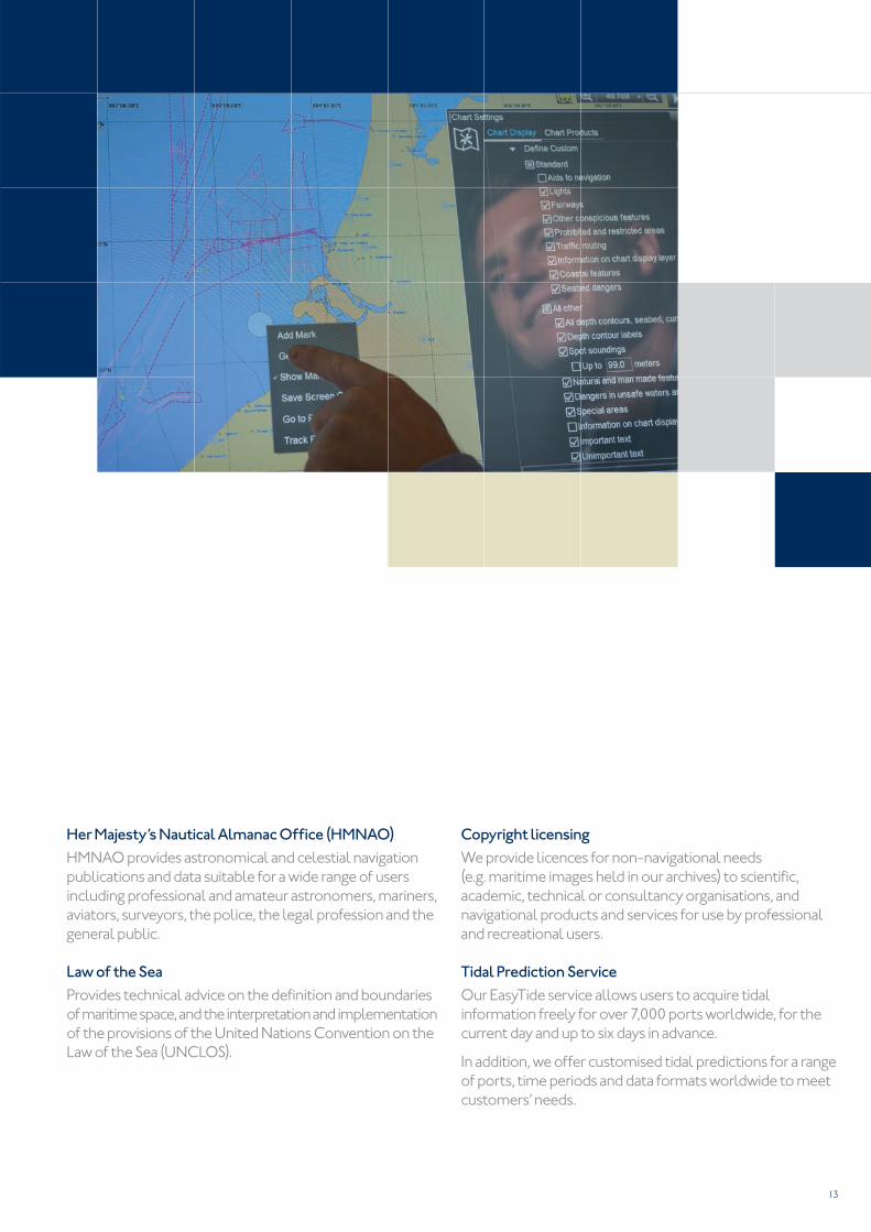
Working with ECDIS manufacturers (OEMs)
ECDIS is a computer-based navigation information system
that complies with the International Maritime Organization
(IMO) . We work closely with manufacturers of ECDIS to
ensure optimum display requirements of compliant digital
charts and other navigational information.
International committee memberships
The UKHO actively participates in various technical and
consultative International Hydrographic Organization
(IHO) Working Groups (WG) including the development
of hydrographic and charting standards. We are
acknowledged as being among the world experts in
IHO standards development and are proud of this
endorsement of our technical credibility.
This consultative work also highlights our commitment
to the international hydrographic community and helps
to promote positive working relationships with our
international partners.
10
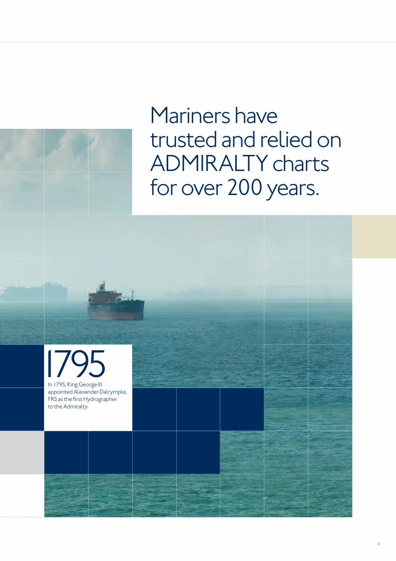
In 1795, King George III appointed Alexander Dalrymple
FRS as the fi rst Hydrographer to the Admiralty Board
(the organisation, until 1964, responsible for the
command of the Royal Navy) to review the ‘diffi culties
and dangers to His Majesty’s fl eet in the navigation
of ships’.
The fi rst ‘Admiralty’ chart was produced in 1800, and
covered Quiberon Bay in Brittany.
Captain Thomas Hurd, RN, served as Hydrographer from
1808 and started selling charts to the public in 1821. He
also oversaw the production of sailing directions and the
fi rst chart catalogue and organised the fi rst bilateral
arrangement .
Other early National Hydrographers included Rear
Admiral Sir Francis Beaufort, (KCB, FRS, FRGS, MRIA). Ap-
pointed in 1829 he worked until 1855, organising surveys
worldwide to expand and improve chart coverage and
encouraging international cooperation.
Among his many accomplishments was the Beaufort
Scale of wind strength and the introduction of offi cial tide
tables in 1833. By 1855, the chart catalogue listed 1,981
charts, with 64,000 copies issued to the Royal Navy. The
UKHO now led the world in the techniques of hydrography
and cartography, thanks to the efforts and vision of
Beaufort and his predecessors.
Developments such as the echo sounder in the 1930s,
and sonar in the 1960s, brought huge advances in the
charting of the seabed. Recent technology has brought
accuracy and data handling abilities that were unimaginable
only a few years ago.
Our history
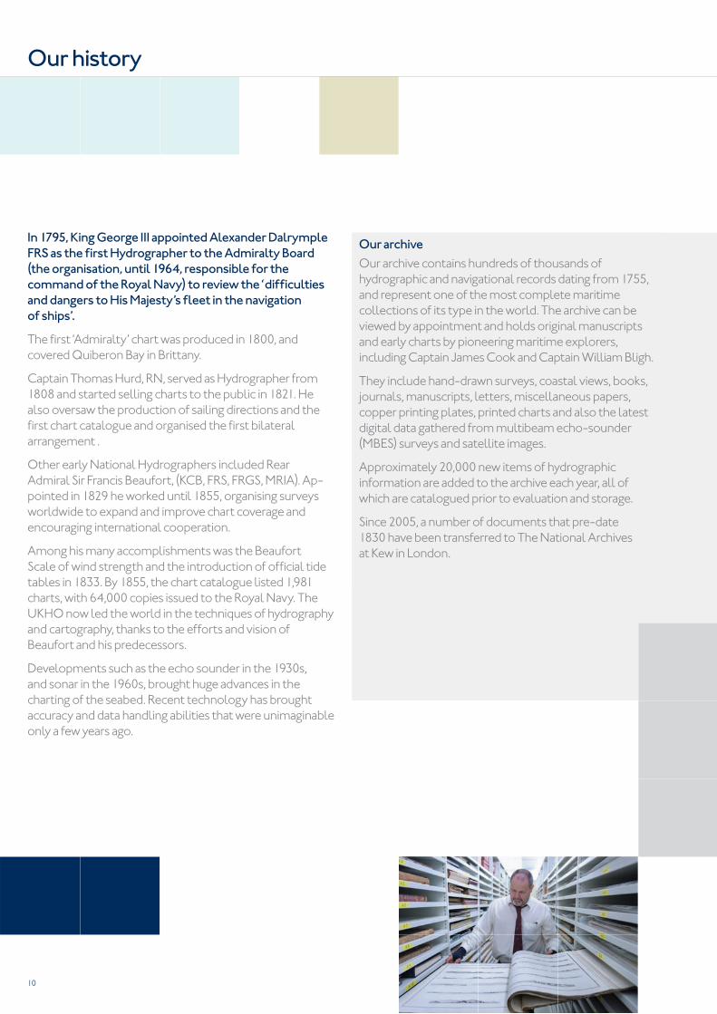
Our archive
Our archive contains hundreds of thousands of
hydrographic and navigational records dating from 1755,
and represent one of the most complete maritime
collections of its type in the world. The archive can be
viewed by appointment and holds original manuscripts
and early charts by pioneering maritime explorers,
including Captain James Cook and Captain William Bligh.
They include hand-drawn surveys, coastal views, books,
journals, manuscripts, letters, miscellaneous papers,
copper printing plates, printed charts and also the latest
digital data gathered from multibeam echo-sounder
(MBES) surveys and satellite images.
Approximately 20,000 new items of hydrographic
information are added to the archive each year, all of
which are catalogued prior to evaluation and storage.
Since 2005, a number of documents that pre-date
1830 have been transferred to The National Archives
at Kew in London.
11
Mariners have trusted and relied on ADMIRALTY charts for over 200 years.
1795In 1795, King George III
appointed Alexander Dalrymple,
FRS as the fi rst Hydrographer
to the Admiralty.

12
As well as producing our market-leading ADMIRALTY
Maritime Products & Services portfolio, we undertake a
number of highly acclaimed specialist services.
Defence Maritime Geospatial Intelligence Centre
This Centre supplies products and services to support the
MOD’s additional maritime requirements. These include
maritime foundation geospatial intelligence to enhance
military operations, bespoke operational graphics in digital
and analogue formats and short notice production of
environmental intelligence.
We also provide support to NATO and other allied defence
customers. Much of this support is given in response to
requests for data in global emergency situations such as
disaster relief and security operations.
We undertake a number of highly acclaimed specialist services.
Our specialist services
13
Her Majesty’s Nautical Almanac Offi ce (HMNAO)
HMNAO provides astronomical and celestial navigation
publications and data suitable for a wide range of users
including professional and amateur astronomers, mariners,
aviators, surveyors, the police, the legal profession and the
general public.
Law of the Sea
Provides technical advice on the defi nition and boundaries
of maritime space, and the interpretation and implementation
of the provisions of the United Nations Convention on the
Law of the Sea (UNCLOS).
Copyright licensing
We provide licences for non-navigational needs
(e.g. maritime images held in our archives) to scientifi c,
academic, technical or consultancy organisations, and
navigational products and services for use by professional
and recreational users.
Tidal Prediction Service
Our EasyTide service allows users to acquire tidal
information freely for over 7,000 ports worldwide, for the
current day and up to six days in advance.
In addition, we offer customised tidal predictions for a range
of ports, time periods and data formats worldwide to meet
customers’ needs.
14
To meet the needs of the digital age we will continue
to invest and optimise our digital capability, information
management, production systems and processes.
Through closer working relationships with maritime
organisations around the world and the greater speed
and fl exibility from our improved digital capability,
we will continue to make additional assured sources
of maritime geospatial data available to satisfy
our customers’ growing needs.
Additional, up-to-date information is collected through
various crowd-sourcing initiatives and Hydrographic
Notes (H-Note) supplied to us by mariners. We have also
launched our new-to-market ADMIRALTY H-Note app
for use on tablets and smartphones.
We will continue to make additional assured sources of maritime geospatial data available to satisfy our customers’ growing needs
Future outlook

15
16
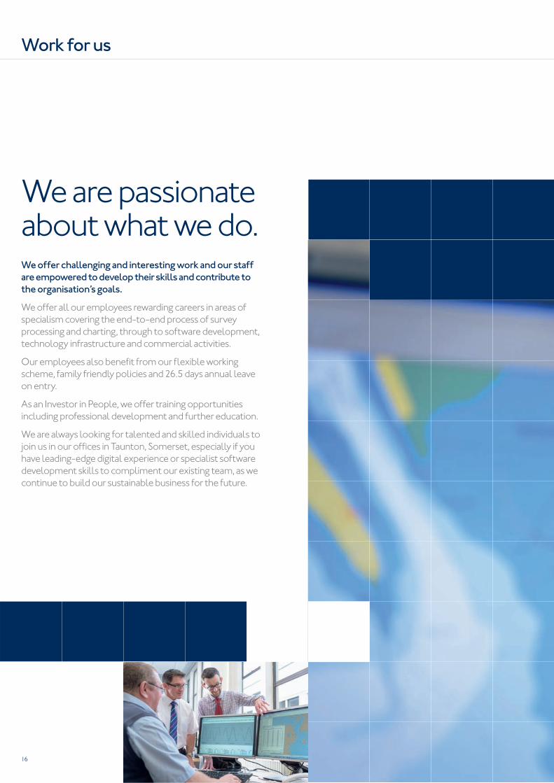
We offer challenging and interesting work and our staff
are empowered to develop their skills and contribute to
the organisation’s goals.
We offer all our employees rewarding careers in areas of
specialism covering the end-to-end process of survey
processing and charting, through to software development,
technology infrastructure and commercial activities.
Our employees also benefi t from our fl exible working
scheme, family friendly policies and 26.5 days annual leave
on entry.
As an Investor in People, we offer training opportunities
including professional development and further education.
We are always looking for talented and skilled individuals to
join us in our offi ces in Taunton, Somerset, especially if you
have leading-edge digital experience or specialist software
development skills to compliment our existing team, as we
continue to build our sustainable business for the future.
We are passionate about what we do.
Work for us

Our staff are empowered to develop their skills and contribute to the organisation’s goals.
are trademarks of the Secretary of State for Defenceand
42471 16.05.V03.EN © Crown Copyright 2016. All rights reserved. Correct at the time of publishing.
Admiralty Way, Taunton, Somerset
TA1 2DN, United Kingdom
Telephone +44 (0)1823 484444
gov.uk/ukho
Find out more about our market-leading
ADMIRALTY Maritime Products & Services:
admiralty.co.uk