inasafe development in the philippines
TRANSCRIPT


How did I start?

Operating System
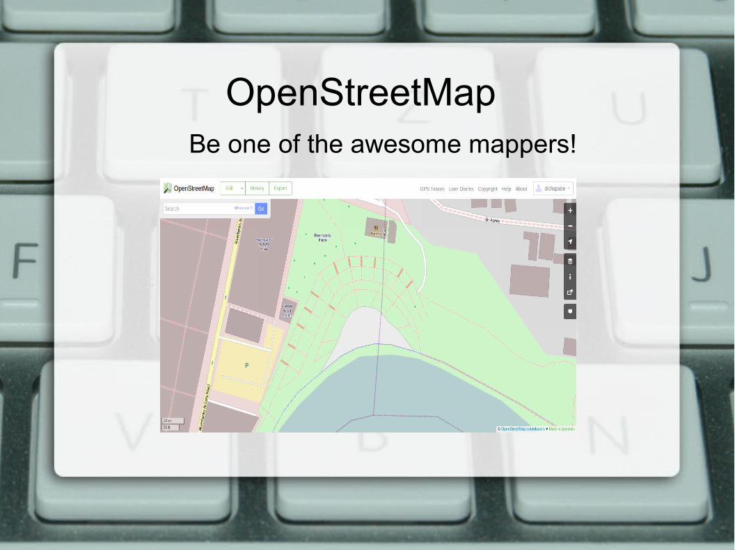
OpenStreetMapBe one of the awesome mappers!

JOSM● Enabling your map to be updated● Points, Lines and Polygons● Tags

Programming Language
Coffee Beans and Snakes have similarities
Really?

GithubSocial network of the Geeks

QGIS
QT4
A hundred thousand money savings of managing and designing your maps
A tool for creating application's user interface especially to those who're not programmers

InaSAFE

My First Impression with the Code
Thanks to Mario Basa and Marco Bernasocchi :)

Progress
● InaSAFE was tested for Lubao, Guagua and Candaba, Pampanga
Minor conflicts:
– Their flood data were categorized in low, medium and high
– Lack of data for testing
– Different Projection (WGS 84 / UTM zone 51N)

Development● Data Driven Age
It is a function in postprocessor where impact result will be aggregated by age (Youth, Adult and Elder).
Data needed:
● Population as Exposure
● Categorized flood as Hazard
● Age distribution for individual administrative units as Postprocessor


Added Youth, Adult and Elderlyon Postprocessor
Data for Aggregation

Result

Development
● Categorical Hazard Data
It is an impact function for categorized hazard data where in the impact result will be categorized to Low, Medium, High
Data needed:– Population as Exposure– Categorized flood as Hazard


Exposure id field is the id/name from exposure that will be categorized
Exposure field is what data are going to be categorized
Hazard Field is a field what categorized hazard data to be used
Categories are being set as the hazard level
Since the hazard data were categorized, 'unit' from keyword editor are going to be changed as 'normalised'

Result

Expected ResultDistrict No
HazardLow Moderate High
1 40 60 0 0
2 20 30 40 10
3 20 45 25 10
