gis connect ed in delaware june 2015 cathy cooper
TRANSCRIPT
GIS Connect ED in Delaware
June 2015Cathy Cooper
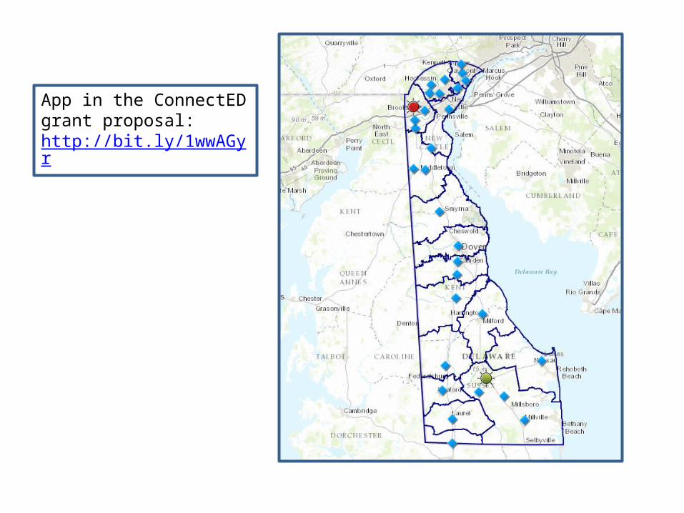

From “Why New Orleans?” by Virginia Geographic AllianceLINK to the live WebGIS Map - http://arcg.is/1xvC7Pg


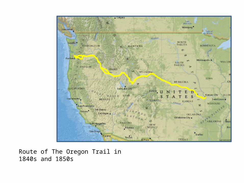
Route of The Oregon Trail in 1840s and 1850s

Oregon Trail with data layer of annual precipitation

Chesapeake Bay Watershed


Layers: Add> Search for layers in ArcGIS Online> Fine: world population (Choose LandScan 2010 by PDohertyDRP.) Also Find world rivers (Chose Rivers World Robinson by Mapping Our World.)

http://www.arcgis.com/home/item.html?id=6b85e9e73ad6434d937fd197b2c11b65

Esri User Conference 2014 Video4th grade students using ArcGIS Online
http://video.arcgis.com/watch/3665/connecting-gis-with-education
Photo: Jack Dangermond and students
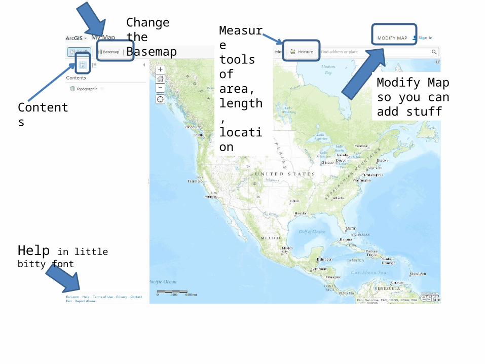
Change the Basemap Measure
tools of area, length, location
Help in little bitty font
Contents
Modify Map so you can add stuff

Click Modify Map to get more buttons
To Add data layers Bookmark a
locationWant to start again? Click: New Map
Location finder