gis at mvrpc
TRANSCRIPT

GIS at MVRPC
Tom Harner, GISP
GIS Coordinator
Miami Valley Regional Planning Commission
10 N. Ludlow Street, Suite 700
Dayton, OH 45402-1855

A forum and resource where the Board of Directors identifies priorities and develops public policy and collaborative strategies to improve quality of life throughout the Miami Valley Region
Major Areas of Concentration
• Transportation Planning
• Regional Planning
• Environmental Planning

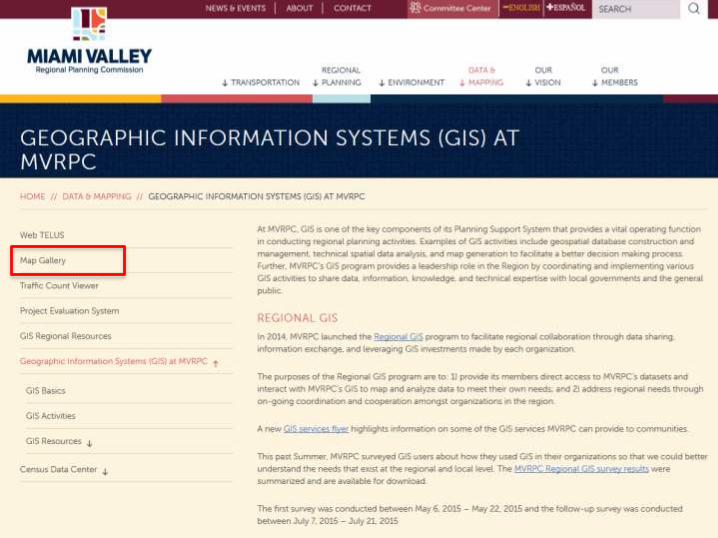
GIS at MVRPC
Resources:
- Passive resources (web)
- Active resources (programs)

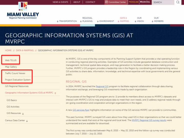
www.mvrpc.org/data-and-mapping
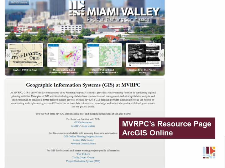
MVRPC’s Resource Page
ArcGIS Online
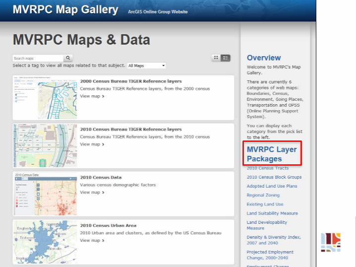


Categories:
Transportation, Land Use,
Census, Environment,
Boundaries

Categories:
Transportation, Land Use,
Census, Environment,
Boundaries


• Help to update and create your GIS layers
• Help you to maintain your GIS layers
• Train staff on using GIS software
• Publish these layers to the web
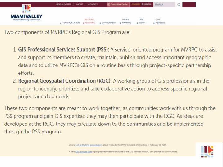
GIS Professional Services Support :

• Prioritize GIS projects and initiatives
• Create and share GIS datasets
• Collaborate on mapping applications and develop
new partnerships
• Develop integrated web services
Regional Geospatial Coordination:

GIS Support:
Miami County Zoning
Traditional GIS/mapping
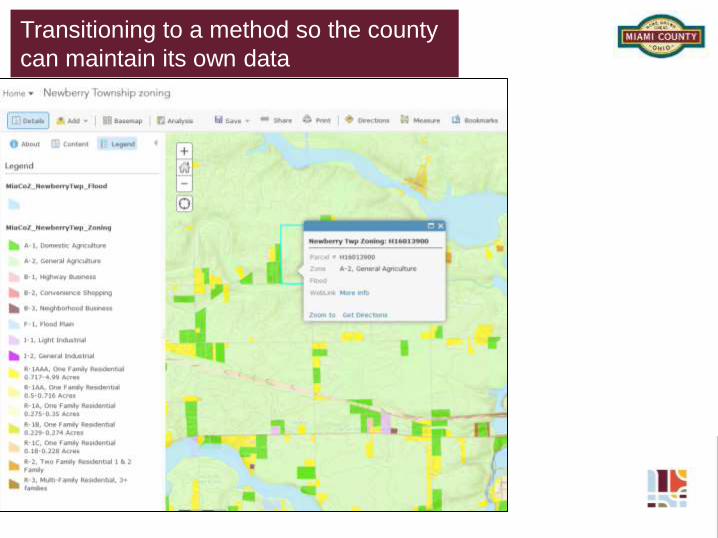
Transitioning to a method so the county
can maintain its own data
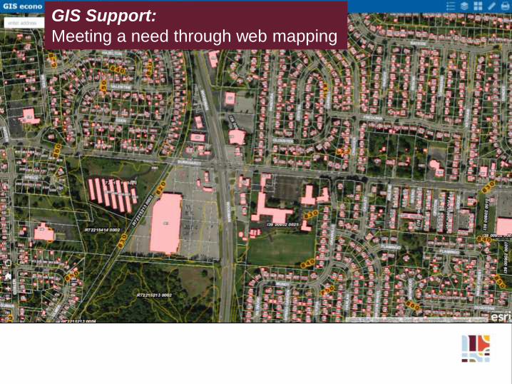
GIS Support:
Meeting a need through web mapping
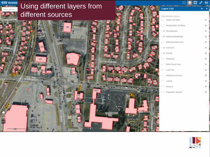
Using different layers from
different sources

- ???
What’s next?

Different platforms:
PC, tablet, phone

Regional Coordination:
2015 GIS Needs Assessment survey

2015 GIS Needs Assessment survey –
partnering with SWOGIS
