gis and geospatial data for the protection and management
TRANSCRIPT

AN INTRODUCTION TO GIS AND
GEOSPATIAL DATA FOR
PROTECTION AND MANAGEMENT
OF WETLANDS AND
WATERCOURSES
Carl L. Zimmerman
Science Dept., United States Coast Guard Academy
Email: [email protected]

Goal of commissioners and agents
Permit and enforcement activities in municipal wetlands and watercourses per IWWA
What do you need?
Information or data to make a determination for a permit or a violation
Traditionally methods use maps and site plans
Often at regional or site scale

What is the information used?
MAPS
They are representations of the earth’s surface, or some portion of it, that has a specific scale and theme.
Characteristics:
Condense and symbolize information
Always abstractions of reality.
Excellent for environmental data
Printed on paper or fixed areas

Problems with maps
Fixed scale, time, scope
& graphics
Difficult to combine with
other kinds of data
Theme and symbols
controlled by the
producer/cartographer
Can’t model land-
use/impacts

Consumer trends & feedback loop
Video games
PC’s
Internet (jokes, music,
gossip, software, find friend
from high school)
CCD, scanners, and digital
cameras
Cheap graphic processors
Common platform and
microprocessors
Big data “pipes”
Inexpensive capture of
images

Ex: Video games
Older Newer
Found at www.somethingwonderful.com
Found at eyeris.blogspot.com
Found at www.gamersbox.com
Found at wrcm.ca

Data trends
Satellite data
Found at landsat.gsfc.nasa.gov

Data trends
CAD/CAM
Found at architecture411.com

Data trends
Databases (DB) and
land-use records
Found at historyofredding.com
Trends set the stage commercialization of GIS

Where GIS Started
Ian McHarg- Design with Nature Used a series of trace paper
overlays to prioritize development. Came out of landscape architecture and urban planning traditions (integration)
Regional planning scale
Structure very similar to GIS
Answers question: How do you plan development while limiting damage to the environment?
How do we live and build within our environment?

Intro to GIS
“Simply put, a GIS combines layers of
information about a place to give you a
better understanding of that place.
What layers of information you
combine depends on your purpose—
finding the best location for a new store,
analyzing environmental damage,
viewing similar crimes in a city to detect
a pattern, and so on.”
From ESRI’s Web Page (www.esri.com)
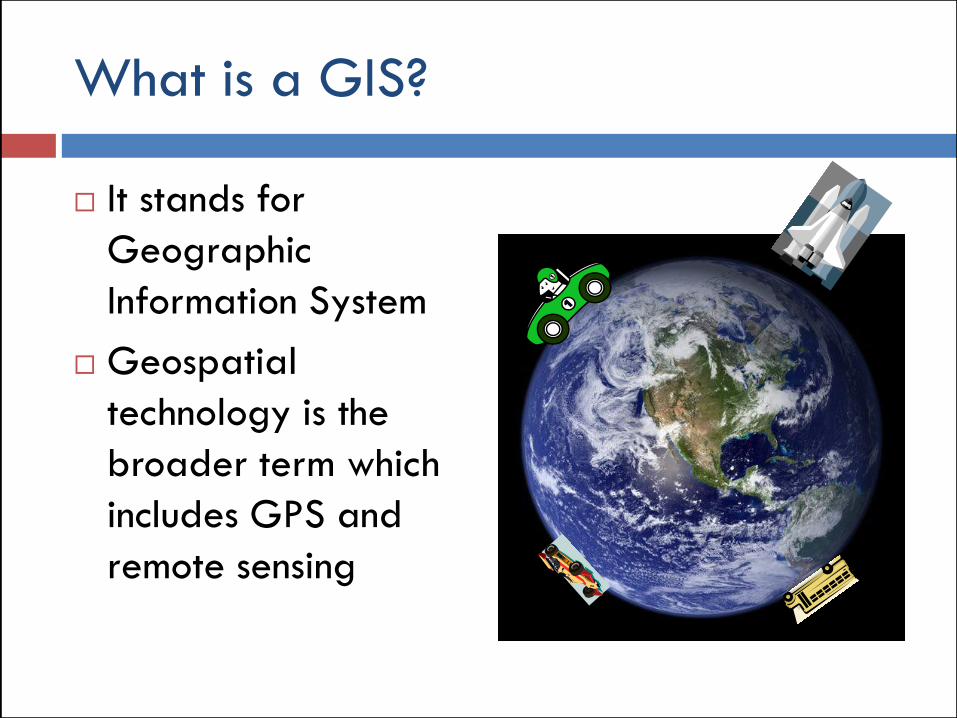
What is a GIS?
It stands for
Geographic
Information System
Geospatial
technology is the
broader term which
includes GPS and
remote sensing

Definition: What is a GIS?
Geographic
Information System
Definition of
Geographic: A. Spatial arrangements
of surface elements…
B. human and natural
landscapes…
C. Ordered arrangement
of elements…

What is a GIS?
Geographic
Information System
Business Def: DB
Management system
with spatial
capabilities
A DB or table with
special properties

Concept of GIS
Tabular data is linked
to locations

GIS software structure
Data Software Display

Components of GIS: Data
Data Software Display
DB
Proj.

Vector
Raster
Aspatial data
Data Types

Vector data
Point
facility
Line
road
Polygon
county
Each spatial component can
have data and it is queried
in a database
Needs “topology”
X-axis
Y-a
xis

Raster
Like your digital photograph
A tesselation of space. It is matrix of cells or pixels that completely covers an area of interest and is referenced to a coordinate system.
Used in land cover maps and imagery
High-res imagery particularly useful

Comparison between vector and raster
models
A vector model:
Spatially explicit
Scales up and down
well
Utilized for survey,
cadastral and
construction data
Represents different
environmental
phenomena
A raster model:
Covers the entire AOI
Good for
environmental models
Primary info source (if
imagery)

Data types and Modeling the “Real
World”
Points
Lines
Polygon
Raster
Soil pits
Stream thalweg
Soil type
Topography/imagery
Data type Real world examples
Remember: Ultimate goal is to represent the environment sufficiently well so that
information is useful for enforcement and management of wetlands and watercourses

Non-spatial
Non-spatial data can
be linked to spatial
data like political
boundaries
Examples
Address
Gender
Income
Health
Mortality

Components of GIS: Software
Data Software Display
DB
Proj.

Database
Georeferencing and Projections
Geoprocessing
Software

Database
A DB is a special kind of table at the heart of the software structure
DB designed for rigor and scalability
Holds both aspatial and spatial data
The DB facilitates searches, mathematical operations and “joins”

Location and spatial data linkage is unique component of GIS
Why is the spatial linkage a problem?
Earth is NOT round
X-Y-Z coordinates don’t work well on a spheroid because lines aren’t straight
Mathematics are tough
Unique capability of a GIS

Projections
We need a method to
translate a 3-d surface onto
a 2-d plain so that lines are
straight.
Solution: Projections are
essentially translations of a
3d surface onto a flat plane
like casting a shadow of a ball
onto wall

Coordinate systems
Projections allow us to have 2-d grids systems that are far simpler to use in mapmaking
Two common systems
State Plane
UTM
Behind every GIS application is a projection and coordinate system

Components of GIS: Display
Data Software Display
DB
Proj.

PC
Web-served
Display

PC or Desktop
Scalable
Cartographic flexibility and producer oriented
Production oriented
Highly flexible

Cartographic flexibility

Cartographic flexibility

Web-served
Simple
Platform independent
Processing away from
machine
Consumer oriented
Gives geospatial
information to phone
or mobile device

Characteristic comparisons
Environmental information
Cartographic display
Fixed scale and scope
Difficult to compare data across scales and maps
Producer controlled
One point in time
Environmental
information
Cartographic display
Flexible scale and scope
Easy to compare data
Massively scalable
Consumer controlled?
Iterative or multiple time
periods
Original Maps GIS

Data for Commissioners and Agents

Geospatial Data: Imagery
Aerial photography (AP)
and satellite imagery
If AP is referenced then
called othophotos
Primary data source
Raster format so can be
viewed in any GIS
Especially useful for
enforcement and examining
land-use change over 2 or
more time periods
Scale depends on sensor
used

http://www.cteco.uconn.edu/
CT ECO

NRCS official data!
Produces reports for any location
Huge data repository and comprehensive resource.
http://websoilsurvey.nrcs.usda.gov/app/WebSoilSurvey.aspx
Web Soil Survey

Ecological maps using federal definition of wetlands
Found at http://www.fws.gov/wetlands/Data/Mapper.html
Wetlands Mapper

Found at: http://waterdata.usgs.gov/nwis
USGS National Water Information System

http://publicrecords.onlinesearches.com/Connecticut-GIS-and-Mapping.htm
Aggregate Site of GIS and Mapping Info

Need to download application at http://www.google.com/earth/index.html
Free GIS that can be used to look at polygons, lines, pts, and attribute info (.kml format only, ESRI products typ. use .shp format)
Easy navigation but orthophotos only.
Google Earth

Address driven system. Orthophotos only.
Found at http://maps.google.com/
Google Maps

http://www.bing.com/maps
Superb oblique imagery from four cardinal points and orthophotos
Uses address for location methods
Bing Maps-Aerial and Oblique Imagery

Finds high precisions GPS lat/long coordinates using a map
www. Getlatlon.com
GPS Coordinate finder

Year Site Location Imagery Type How1934 Connecticut State Library-Town
Map Locator/CLEAR
http://cslib.cdmhost.com/custom/State_Index.php B&W Hi-resolution Web-served by single
scanned photo
1951-1953 Connecticut State Library Secured collection B&W Hi-resolution Special collection
1965 Connecticut State Library-Town
Map Locator
http://cslib.cdmhost.com/custom/State_Index1965.p
hp
Web-served by single,
scanned photo
1970 Connecticut State Library Secured collection B&W Hi-resolution Special collection
1975 Connecticut State Library Secured collection B&W Hi-resolution Special collection
1980 Connecticut State Library Secured collection B&W Hi-resolution Special collection
1985-1986 Connecticut State Library Secured collection B&W Hi-resolution Special collection
1990-1991 UCONN Map and Geographic
Information Center (MAGIC)
http://econmap.com/magic/Map.aspx B&W Hi-resolution orthophoto Web-served by
scanned photo
mosaic
1995 Connecticut State Library Secured collection B&W Hi-resolution Special collection
2004 CT DEP GIS/CT ECO http://www.ct.gov/dep/cwp/view.asp?a=2698&q=322898&
depNav_GID=1707B&W Hi-resolution
2006 CT ECO
National Agricultural Imagery
Program (NAIP) from US Dept. of
Interior
http://ctecoapp1.uconn.edu/advancedviewer/ Color, hi-resolution, orthophoto Web-served by
scanned photo
mosaic
2008 CT ECO
National Agricultural Imagery
Program (NAIP) from US Dept. of
Interior
http://ctecoapp1.uconn.edu/advancedviewer/ 4-band (includes near IR), hi-
resolution
Web-served by
scanned photo
mosaic
2008 CT ECO
National Agricultural Imagery
Program (NAIP) from US Dept. of
Interior
http://ctecoapp1.uconn.edu/advancedviewer/ Color hi-resolution Web-served by
scanned photo
mosaic
2008 CT ECO
Homeland Security Imagery of
Urban Areas
http://ctecoapp1.uconn.edu/advancedviewer/ Color, hi-resolution Web-served by
scanned photo
mosaic
C T H i s t o r i c a l I m a g e r y

Free GIS
ArcGISExplorer-viewer http://www.esri.com/software/arcgis
/explorer/arcexplorer.html
Viewer program with limited
functionality
Grass GIS http://grass.osgeo.org
Full-blown gis
ERDAS Viewfinder
Imagery viewer
http://www.erdas.com/

Learning more about GIS & RS
ESRI
GIS oriented
Commercial site with many
free training programs
GIS lounge http://gislounge.com/free-gis-stuff/
NASA Remote Sensing Site http://rst.gsfc.nasa.gov/Front/overview.html

Data and Imagery Sources
www.geocomm.com
Very good and inexpensive commercial site
Earth Explorer USGS site with many type
of free data http://edcsns17.cr.usgs.gov/EarthE
xplorer/
Geoeye
Commercial site for high-resolution imagery
CT ECO

Questions?Email: [email protected]