geospatial-technology in disaster management,...
TRANSCRIPT
___________________________________________________________________________
2017/EPWG/SDMOF/012 Thematic Session 1.6
Geospatial-Technology in Disaster Management, Regional Drought Monitoring and Precipitation
Distributions Based on Satellites
Submitted by: Asian Disaster Preparedness Center
11th Senior Disaster Management Officials Forum Vinh City, Viet Nam
21–22 September 2017

Geospatial-technology in disaster management, regionaldrought monitoring and precipitation distributions based
on satellites
Farrukh ChishtieScience and Data Lead
SERVIR-Mekong, Asian Disaster Preparedness Center
11th Senior Disaster Management Officials’ ForumVinh city, Nghe An Province, Vietnam, September, 21 - 22 , 2017

The contents:
11th Senior Disaster Management Officials’ ForumGeospatial-technology in disaster management, regional drought monitoring and precipitation distributions
based on satellites
• What is ADPC?
• What is SERVIR?
• SERVIR-Mekong: Objectives and overview of geospatial tools and services for disaster management
More information: www.adpc.net
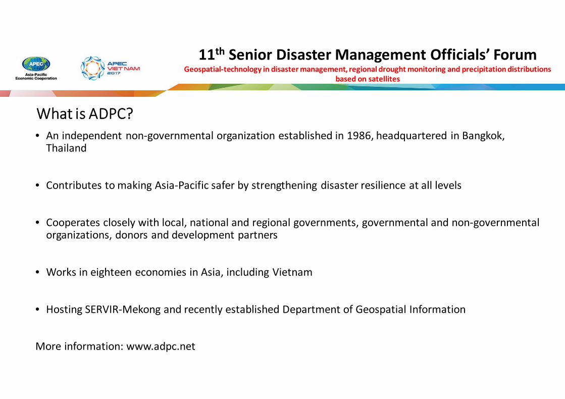
What is ADPC?• An independent non-governmental organization established in 1986, headquartered in Bangkok,
Thailand
• Contributes to making Asia-Pacific safer by strengthening disaster resilience at all levels
• Cooperates closely with local, national and regional governments, governmental and non-governmental organizations, donors and development partners
• Works in eighteen economies in Asia, including Vietnam
• Hosting SERVIR-Mekong and recently established Department of Geospatial Information
More information: www.adpc.net
11th Senior Disaster Management Officials’ ForumGeospatial-technology in disaster management, regional drought monitoring and precipitation distributions
based on satellites
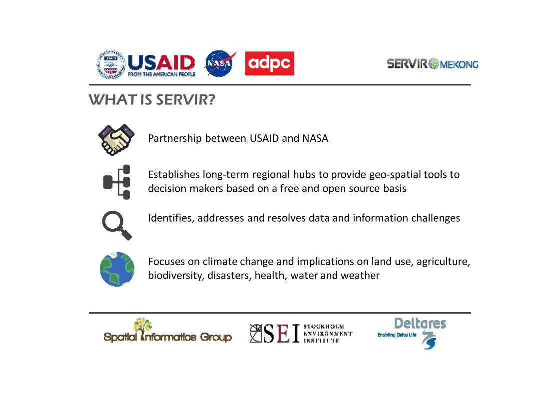
Partnership between USAID and NASA
Establishes long-term regional hubs to provide geo-spatial tools to decision makers based on a free and open source basis
Identifies, addresses and resolves data and information challenges
Focuses on climate change and implications on land use, agriculture, biodiversity, disasters, health, water and weather
WHAT IS SERVIR?
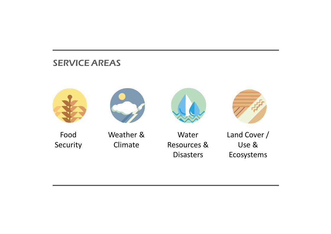
Food Security
Weather & Climate
Water Resources &
Disasters
Land Cover / Use &
Ecosystems
SERVICE AREAS

THE SERVIR NETWORK
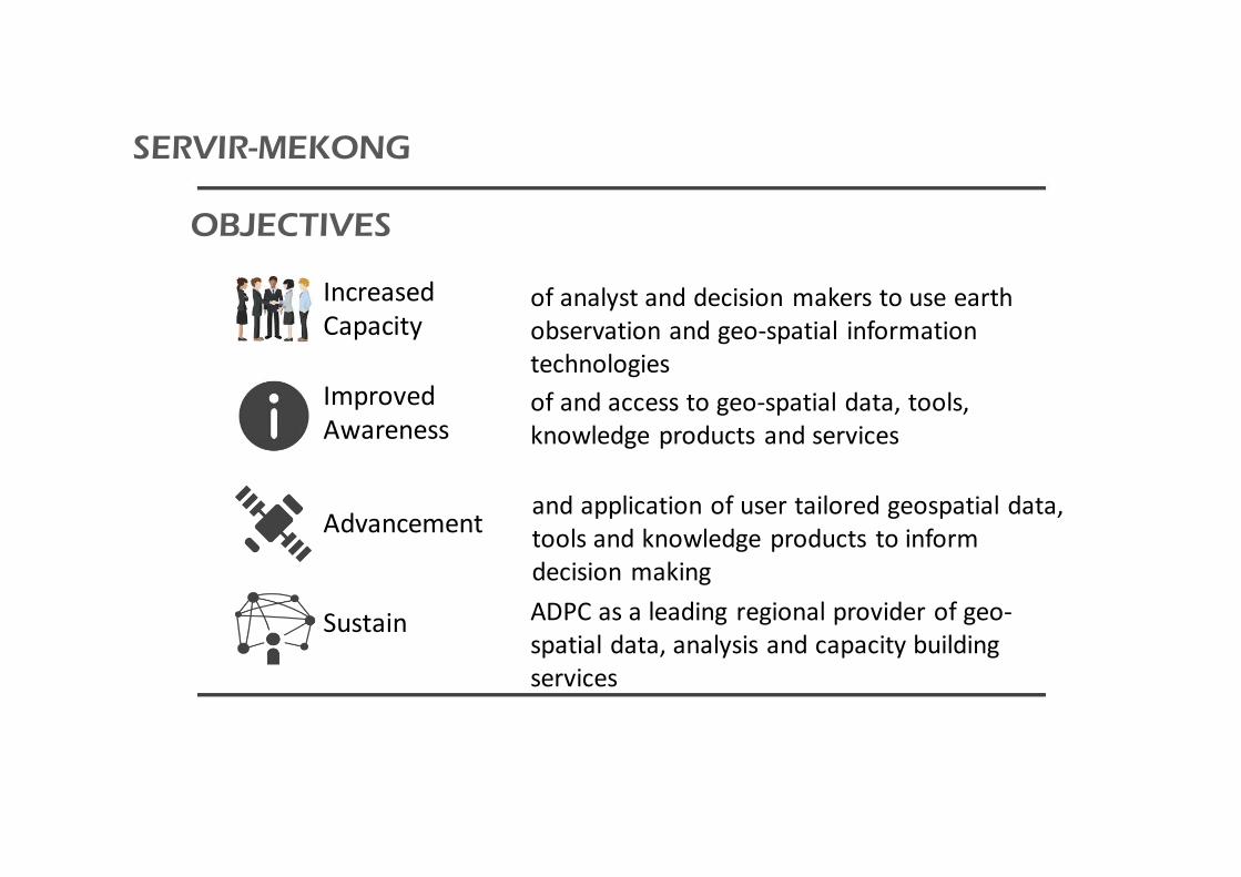
Increased Capacity
Improved Awareness
Advancement
Sustain
of analyst and decision makers to use earth observation and geo-spatial information technologiesof and access to geo-spatial data, tools, knowledge products and services
and application of user tailored geospatial data, tools and knowledge products to inform decision makingADPC as a leading regional provider of geo-spatial data, analysis and capacity building services
OBJECTIVES
SERVIR-MEKONG

Engage
Understand
Create
LearnShare
OUR PROCESS
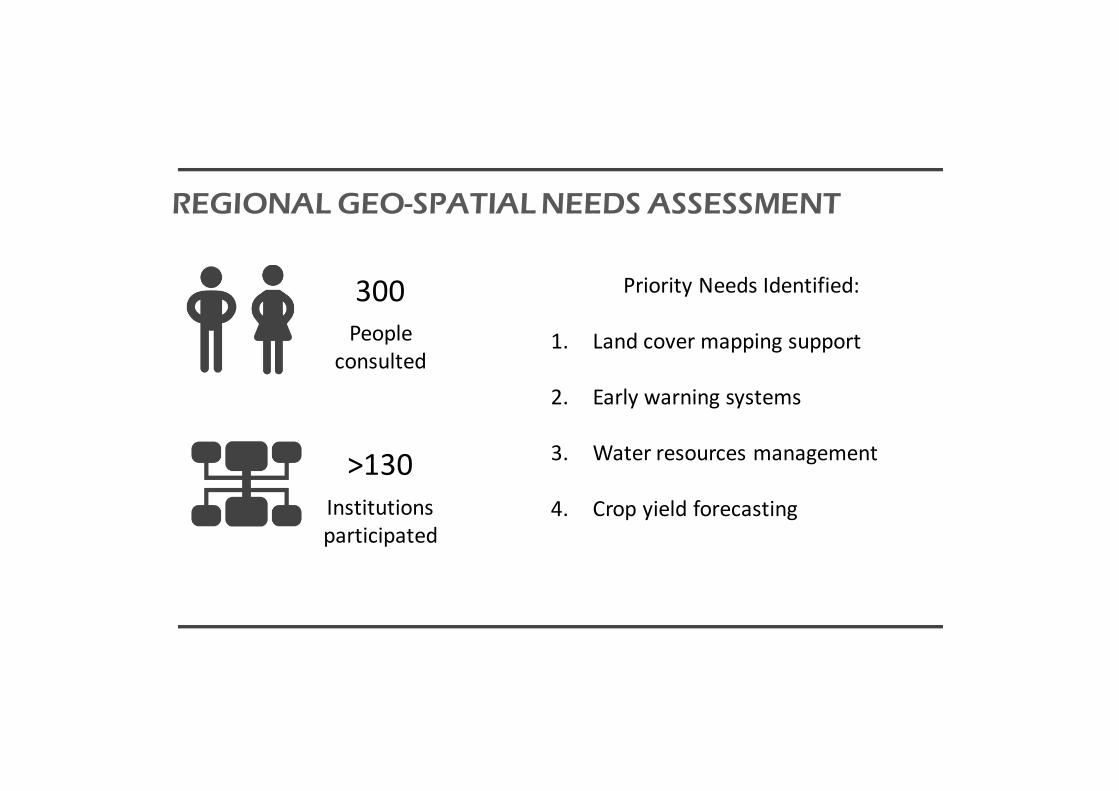
300
>130
People consulted
Institutions participated
Priority Needs Identified:
1. Land cover mapping support
2. Early warning systems
3. Water resources management
4. Crop yield forecasting
REGIONAL GEO-SPATIAL NEEDS ASSESSMENT
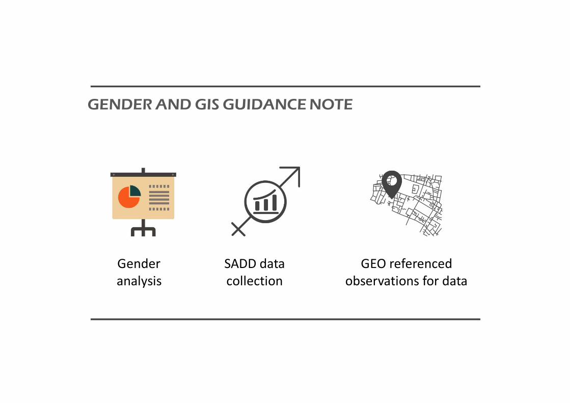
Gender analysis
SADD data collection
GEO referenced observations for data
GENDER AND GIS GUIDANCE NOTE

Developed to document the historical dynamics of seasonal flooding cycles on the Mekong RiverUses include: • Dam impact assessment• flood risk assessment for disaster
preparedness • identifying areas of permanent water• water resources management applications
• Service being presently co-developed with RRD in Myanmar
SURFACE WATER MAPPING TOOL
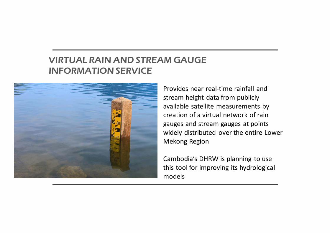
Provides near real-time rainfall and stream height data from publicly available satellite measurements by creation of a virtual network of rain gauges and stream gauges at points widely distributed over the entire Lower Mekong Region
Cambodia’s DHRW is planning to use this tool for improving its hydrological models
VIRTUAL RAIN AND STREAM GAUGE INFORMATION SERVICE

Can assist local governments and the agricultural sector with seasonal drought forecasting and in implementing short and long-term mitigation measures during and in advance of droughts
• Vietnam’s VAWR is planning to use this service starting with a test pilot study
• MRC is planning to integrate this for their drought services
REGIONAL DROUGHT INFORMATION SYSTEM

• Developed collaboratively• Produces consistent products at regular intervals• Serves the expressed needs of multiple users• Uses transparent, well documented open source
approach• Includes quality control / assurance
methodology• MRC plans to use this tool for updating its land
use model for more accurate hydrological modeling and flood forecasting
• Myanmar and Vietnam plan to use this for UNFCCC and FAO for annual reporting
REGIONAL LAND COVER MONITORING SYSTEM

Forests
Urban
Agriculture
Land Cover Map
REGIONAL LAND COVER MONITORING SYSTEM
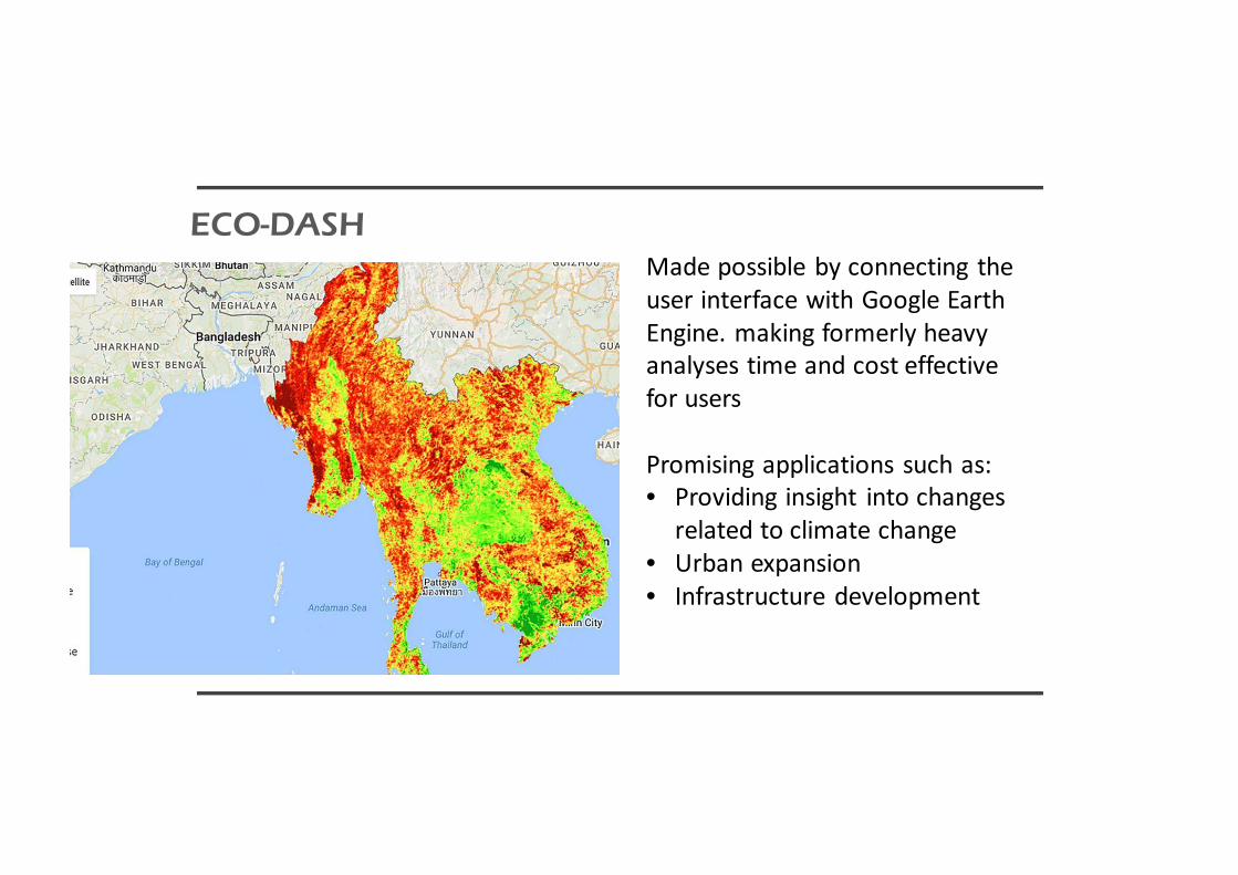
Made possible by connecting the user interface with Google Earth Engine. making formerly heavy analyses time and cost effective for users
Promising applications such as:• Providing insight into changes
related to climate change• Urban expansion• Infrastructure development
ECO-DASH

Geospatial Data Repository

Allows any user to see and download the inundation area of a potential dam given only the location and height of the dam
Can provide insight into the costs and benefits of potential dams and, in some cases, facilitate a preliminary assessment of dam options
DAM INUNDATION TOOL
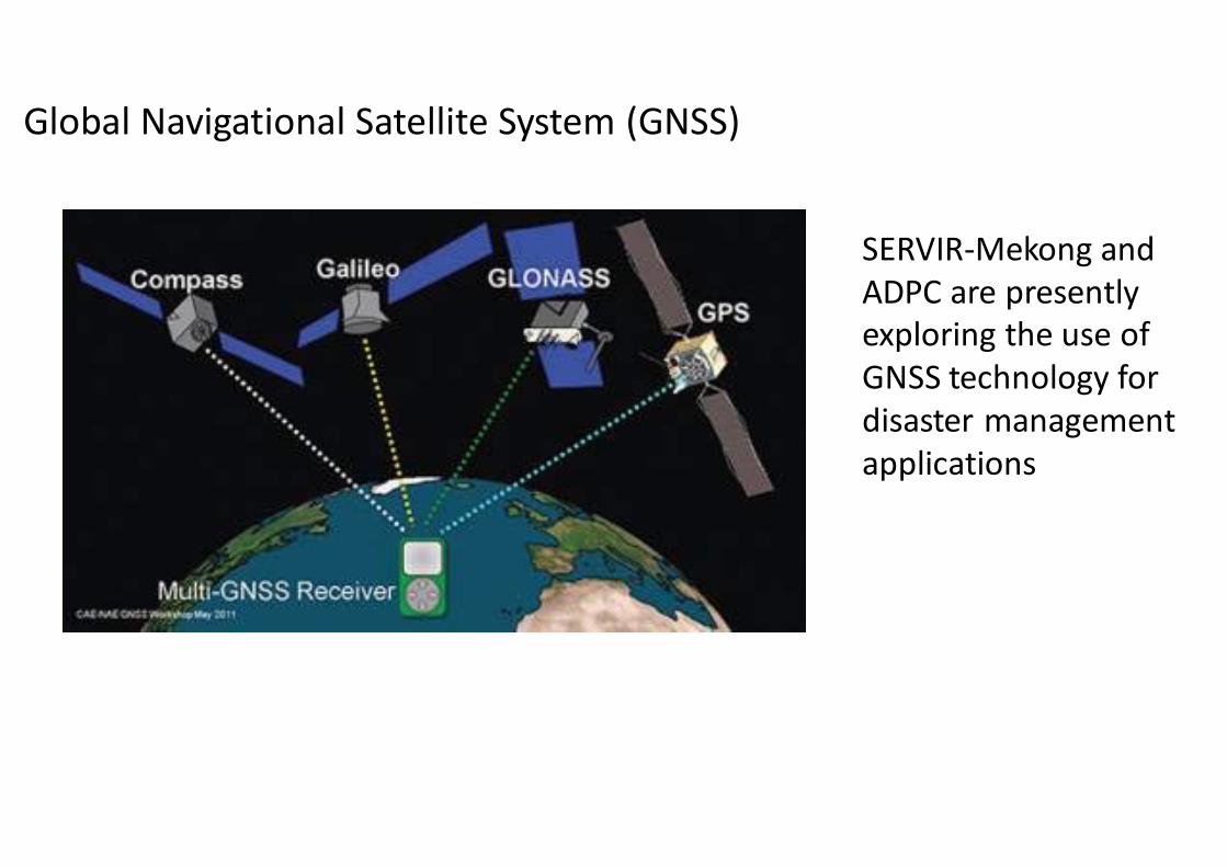
Global Navigational Satellite System (GNSS)
SERVIR-Mekong and ADPC are presently exploring the use of GNSS technology for disaster management applications
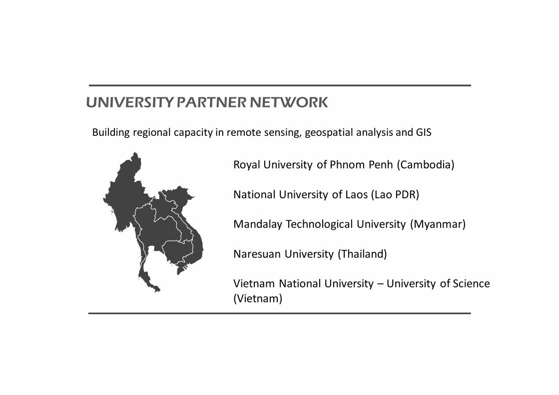
Building regional capacity in remote sensing, geospatial analysis and GIS
Royal University of Phnom Penh (Cambodia)
National University of Laos (Lao PDR)
Mandalay Technological University (Myanmar)
Naresuan University (Thailand)
Vietnam National University – University of Science (Vietnam)
UNIVERSITY PARTNER NETWORK

TECHNICAL ASSISTANCE MECHANISM
Request a new or customized dataset
Request a new or customized tool
Request training or capacity building
Request technical advice or consulting

Recommendations
• Earth Observations and Geospatial Technology play a key role in providing various key services useful for Disaster Management
• SERVIR-Mekong is presently developing related disaster management services for economies in the Lower Mekong regionincluding addressing issues related to droughts and floods
• Further technology including use of GNSS are being explored
• We welcome your feedback, discussions and suggestions towards collaborative engagements
11th Senior Disaster Management Officials’ ForumGeospatial-technology in disaster management, regional drought monitoring and precipitation distributions
based on satellites

Thank you for attention!
11th Senior Disaster Management Officials’ ForumVinh city, Nghe An Province, Vietnam, September, 21 - 22 , 2017