georgia navigator – past, present and future · mark demidovich, georgia dot paul denard, georgia...
TRANSCRIPT
Concurrent Session 2
ITS in Georgia: Past, Present and Future
Silver Bullets? Innovative Intersections and Interchanges
Mark Demidovich, Georgia DOT
Paul Denard, Georgia DOT

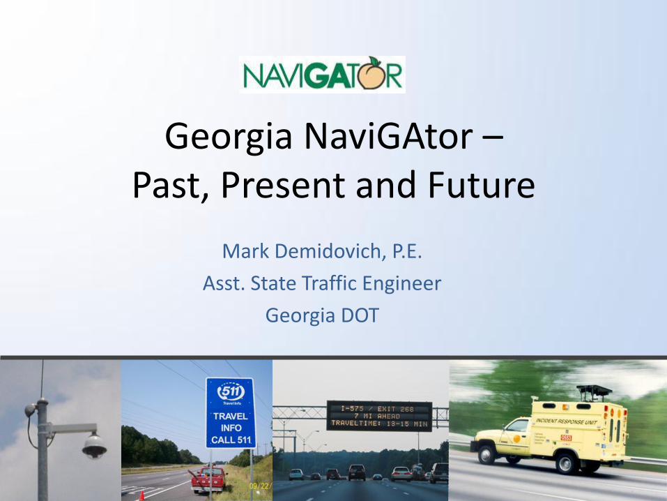
Georgia NaviGAtor – Past, Present and Future
Mark Demidovich, P.E.
Asst. State Traffic Engineer
Georgia DOT
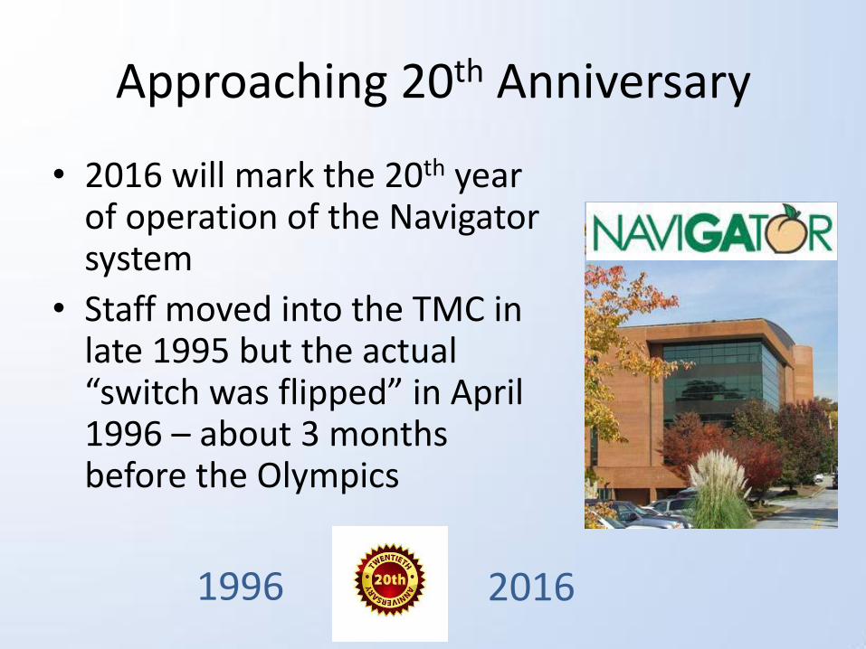
Approaching 20th Anniversary
• 2016 will mark the 20th year of operation of the Navigator system
• Staff moved into the TMC in late 1995 but the actual “switch was flipped” in April 1996 – about 3 months before the Olympics
1996 2016
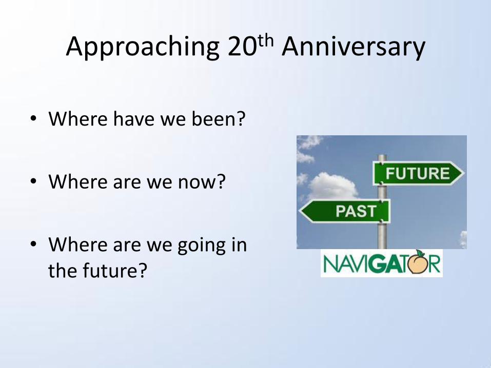
Approaching 20th Anniversary
• Where have we been?
• Where are we now?
• Where are we going in the future?

What is NaviGAtor?
• Georgia’s Intelligent Transportation System (ITS)
• Consists of:
– Cameras along the roadways
– Electronic message signs
– Traffic detection devices
– Ramp meters
– 511 website and phone system
– Variable Speed Limits

What is ITS?
ITS improves transportation safety and mobility and enhances productivity through the integration of advanced communications technologies into the transportation infrastructure and in vehicles. Intelligent transportation systems (ITS) encompass a broad range of wireless and wire-line communications-based information and electronics technologies.
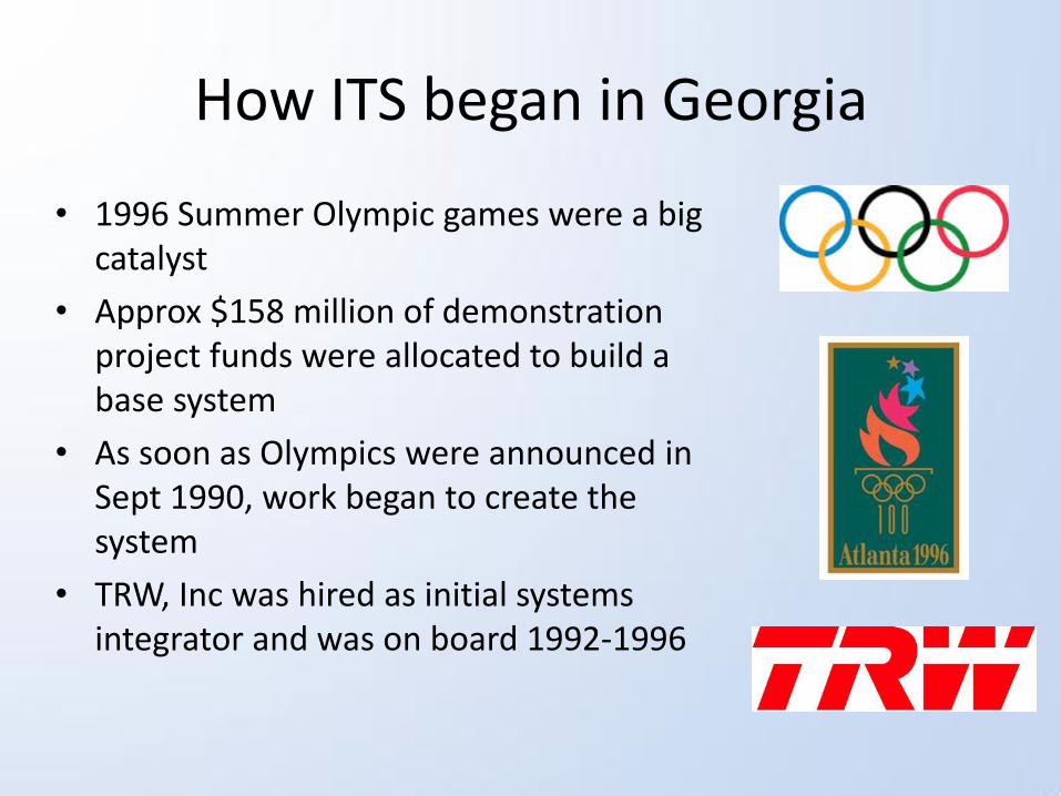
How ITS began in Georgia
• 1996 Summer Olympic games were a big catalyst
• Approx $158 million of demonstration project funds were allocated to build a base system
• As soon as Olympics were announced in Sept 1990, work began to create the system
• TRW, Inc was hired as initial systems integrator and was on board 1992-1996
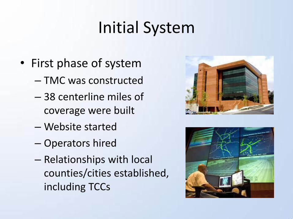
Initial System
• First phase of system
– TMC was constructed
– 38 centerline miles of coverage were built
– Website started
– Operators hired
– Relationships with local counties/cities established, including TCCs
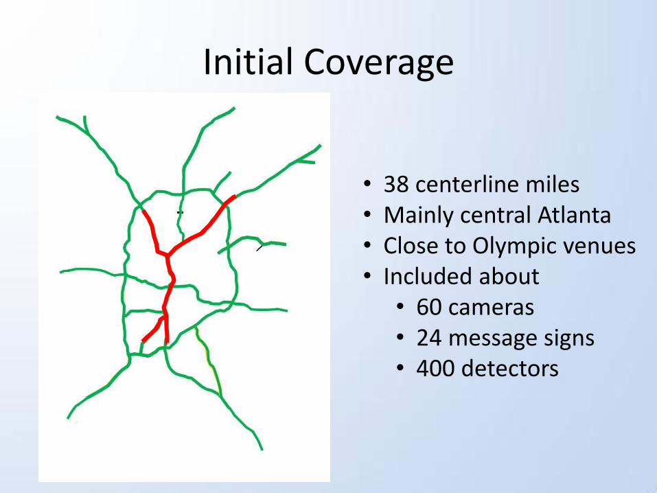
Initial Coverage
• 38 centerline miles • Mainly central Atlanta • Close to Olympic venues • Included about
• 60 cameras • 24 message signs • 400 detectors
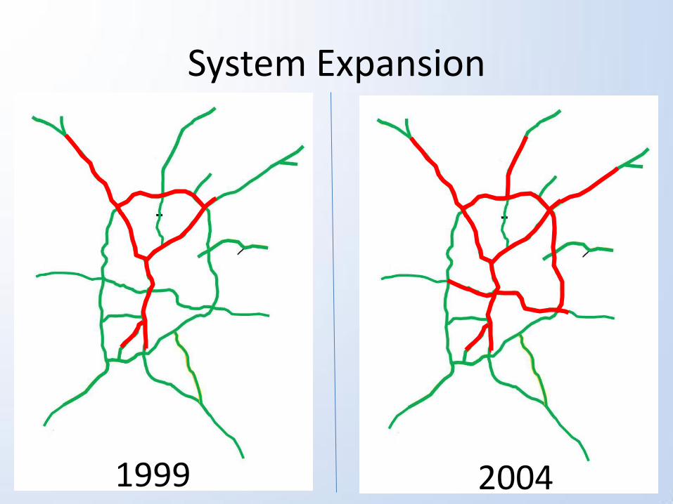
System Expansion
1999 2004

System Expansion, cont.
2008 2011
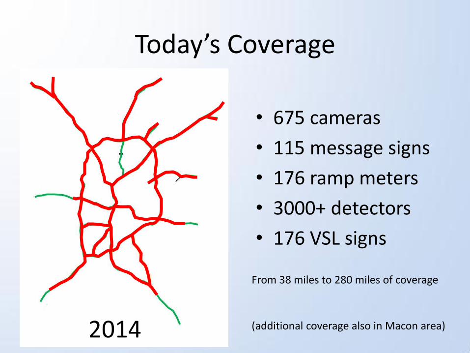
Today’s Coverage
• 675 cameras
• 115 message signs
• 176 ramp meters
• 3000+ detectors
• 176 VSL signs
2014
From 38 miles to 280 miles of coverage
(additional coverage also in Macon area)
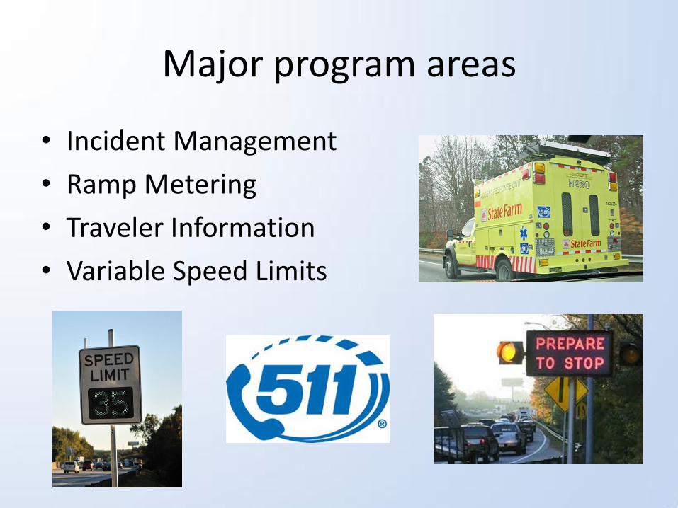
Major program areas
• Incident Management
• Ramp Metering
• Traveler Information
• Variable Speed Limits
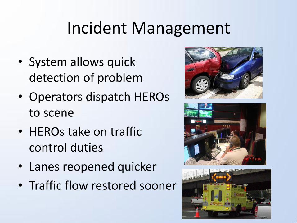
Incident Management
• System allows quick detection of problem
• Operators dispatch HEROs to scene
• HEROs take on traffic control duties
• Lanes reopened quicker
• Traffic flow restored sooner

Incident Management
Recently added Automated Location and Dispatch System, or ALADS
HEROs and TMC Operators can exchange incident data directly through system without need for voice communications

Incident Management
Other programs
• TRIP program
(Towing Recovery Incentive Program)
• Move Over Law & Steer It and Clear It Law
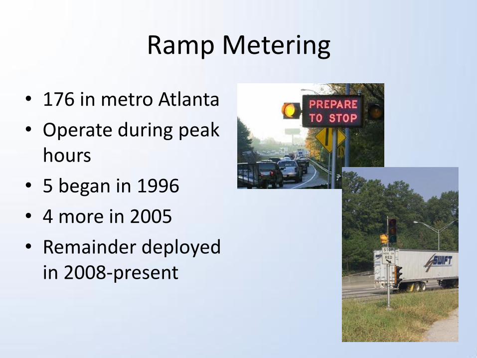
Ramp Metering
• 176 in metro Atlanta
• Operate during peak hours
• 5 began in 1996
• 4 more in 2005
• Remainder deployed in 2008-present
Ramp Metering
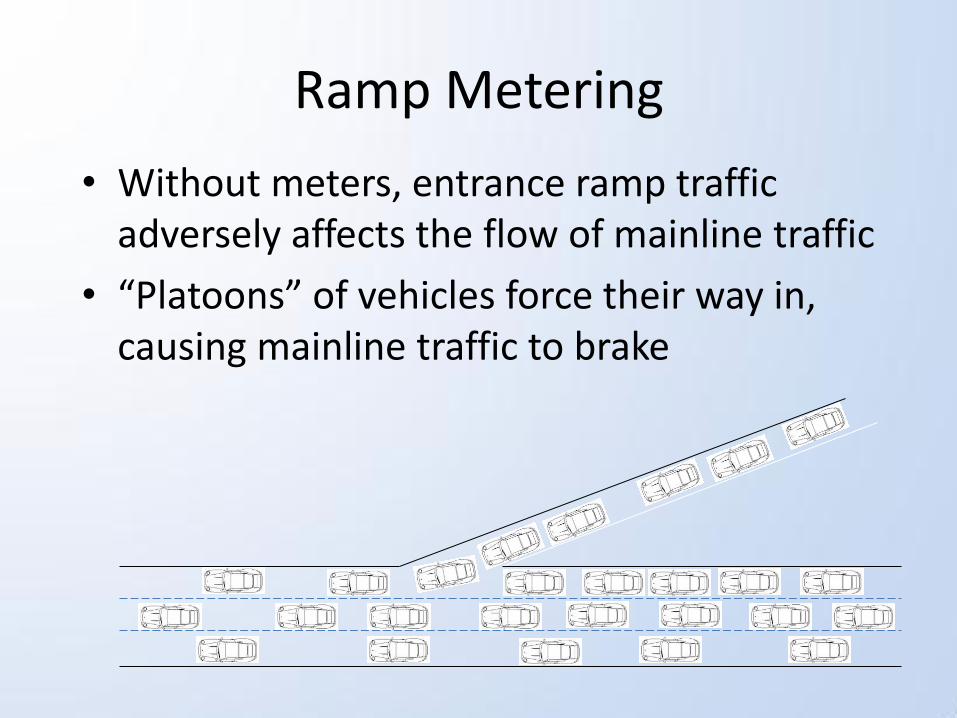
• Without meters, entrance ramp traffic adversely affects the flow of mainline traffic
• “Platoons” of vehicles force their way in, causing mainline traffic to brake
Ramp Metering
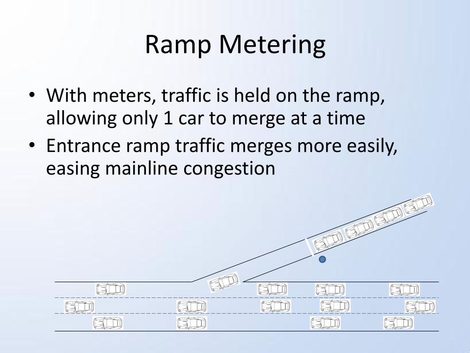
• With meters, traffic is held on the ramp, allowing only 1 car to merge at a time
• Entrance ramp traffic merges more easily, easing mainline congestion

Traveler Information
• Navigator uses many outlets to inform drivers
– 511 phone system
– Website
– Apps
– Twitter/Facebook
– Message signs
www.511ga.org

Traveler Information
• Well-informed drivers are good for the system
• If drivers know the location of problems:
– Avoid the area and save time
– Reduce the traffic load on the incident location
– Change their mode of travel
– Reduce frustration
– Increase safety of the
responders

Traveler Information
Statistics
511 phone system: 20,000 calls a week
Website: 40,000-50,000 users a week
Apps: 120,000 ioS downloads and 50,000 Android downloads
Variable Speed Limits
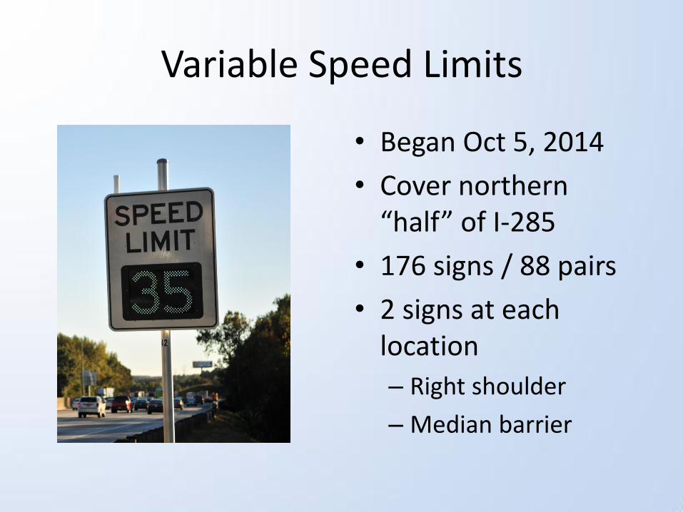
• Began Oct 5, 2014
• Cover northern “half” of I-285
• 176 signs / 88 pairs
• 2 signs at each location
– Right shoulder
– Median barrier
Variable Speed Limits
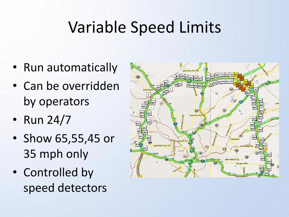
• Run automatically
• Can be overridden by operators
• Run 24/7
• Show 65,55,45 or 35 mph only
• Controlled by speed detectors
Variable Speed Limits
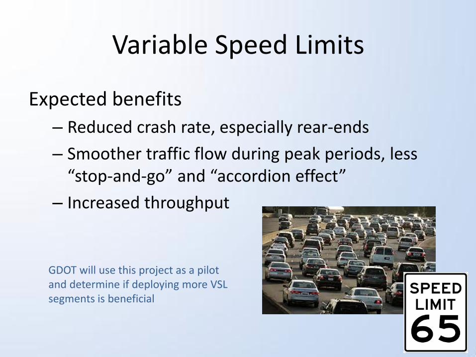
Expected benefits
– Reduced crash rate, especially rear-ends
– Smoother traffic flow during peak periods, less “stop-and-go” and “accordion effect”
– Increased throughput
GDOT will use this project as a pilot and determine if deploying more VSL segments is beneficial


Results
Wasted fuel per driver
Hours of delay per person
Year Wasted Fuel per Commuter
Rank
2005 31 gals 7
2006 31 gals 7
2007 30 gals 7
2008 24 gals 8
2009 23 gals 12
2010 23 gals 12
2011 23 gals 12
Year Hrs of Delay Per person
Rank
2005 68 4
2006 67 4
2007 60 7
2008 53 7
2009 52 7
2010 50 8
2011 51 7
Source: TTI Urban Mobility Report
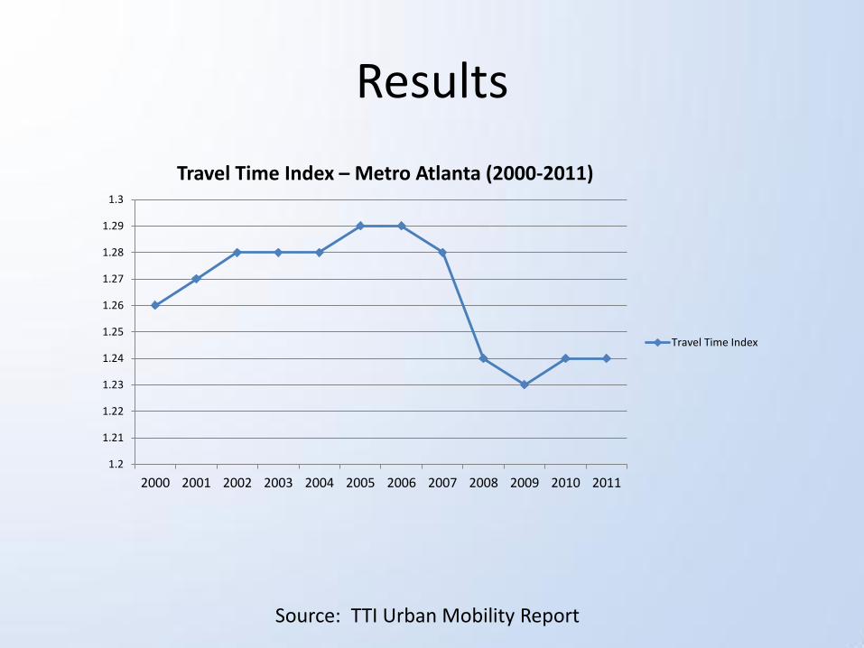
Results
Source: TTI Urban Mobility Report
1.2
1.21
1.22
1.23
1.24
1.25
1.26
1.27
1.28
1.29
1.3
2000 2001 2002 2003 2004 2005 2006 2007 2008 2009 2010 2011
Travel Time Index – Metro Atlanta (2000-2011)
Travel Time Index
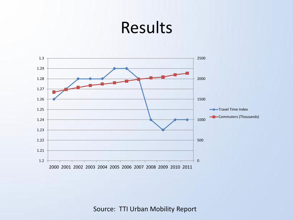
Results
Source: TTI Urban Mobility Report
0
500
1000
1500
2000
2500
1.2
1.21
1.22
1.23
1.24
1.25
1.26
1.27
1.28
1.29
1.3
2000 2001 2002 2003 2004 2005 2006 2007 2008 2009 2010 2011
Travel Time Index
Commuters (Thousands)
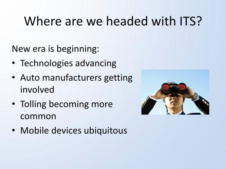
Where are we headed with ITS?
New era is beginning:
• Technologies advancing
• Auto manufacturers getting involved
• Tolling becoming more common
• Mobile devices ubiquitous
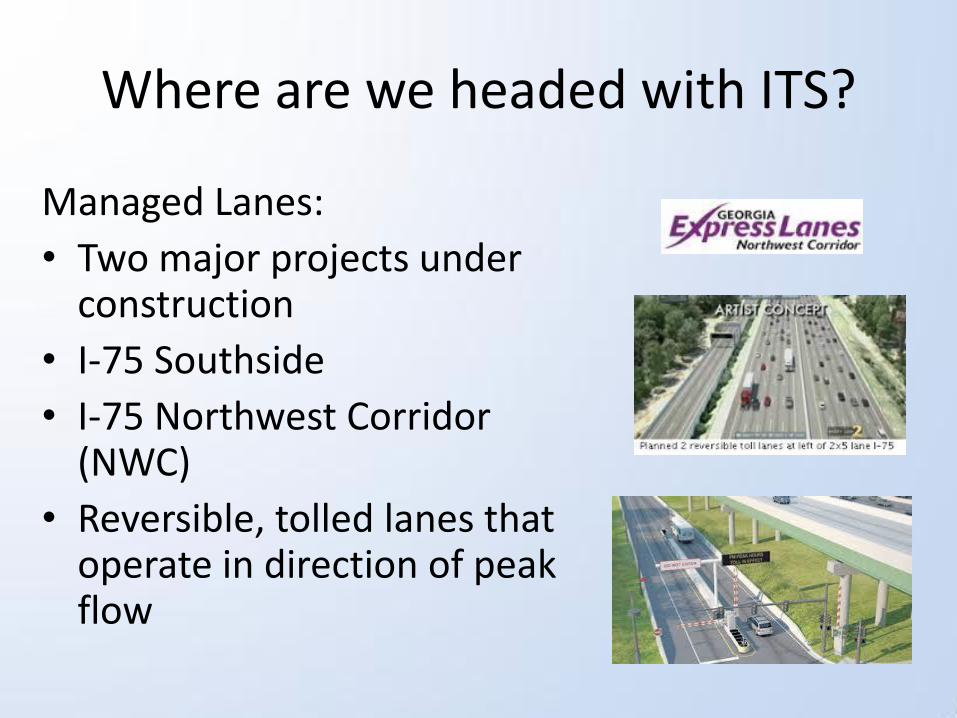
Where are we headed with ITS?
Managed Lanes:
• Two major projects under construction
• I-75 Southside
• I-75 Northwest Corridor (NWC)
• Reversible, tolled lanes that operate in direction of peak flow

Managed Lanes
TMC’s role:
• Control gates
• Post sign messages
• Manage incidents
Current activities: Developing software requirements for a Navigator module that will control the gates/signs. The State Road and Toll Authority (SRTA) will be moving into the TMC to host their Operations there.
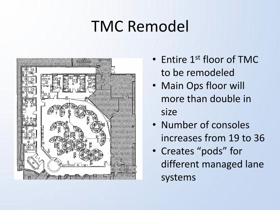
TMC Remodel
• Entire 1st floor of TMC to be remodeled
• Main Ops floor will more than double in size
• Number of consoles increases from 19 to 36
• Creates “pods” for different managed lane systems
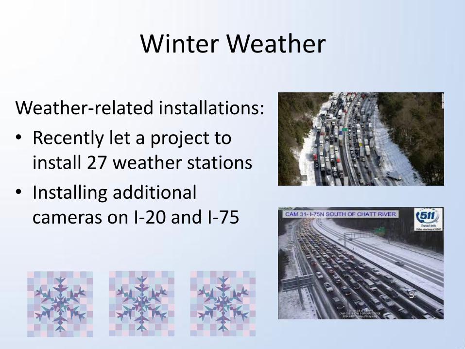
Winter Weather
Weather-related installations:
• Recently let a project to install 27 weather stations
• Installing additional cameras on I-20 and I-75
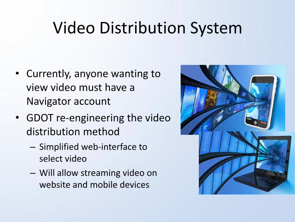
Video Distribution System
• Currently, anyone wanting to view video must have a Navigator account
• GDOT re-engineering the video distribution method
– Simplified web-interface to select video
– Will allow streaming video on website and mobile devices
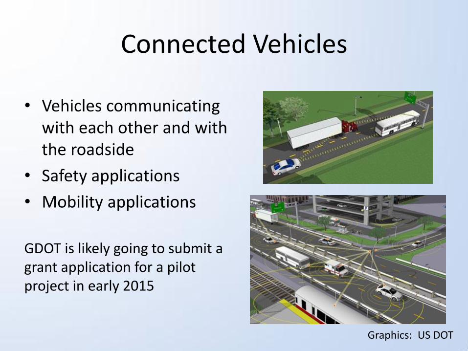
Connected Vehicles
• Vehicles communicating with each other and with the roadside
• Safety applications
• Mobility applications
GDOT is likely going to submit a grant application for a pilot project in early 2015
Graphics: US DOT
Georgia NaviGAtor – Past, Present and Future
Mark Demidovich, P.E.
Asst. State Traffic Engineer
Georgia DOT