g lobal p ositioning s ystem vamshi linga clint reitsma
Post on 22-Dec-2015
226 views
TRANSCRIPT

Global Positioning System
Vamshi Linga
Clint Reitsma

Outline
• Where it came from• How it works• Error Correction• Galileo and Future Uses
Where it Came From
• Funded and Controlled by U.S. DOD• Originally Designed for the Military• 1978 First Block of Satellites launched• 1989 Second Block of Satellites launched• 1995 Fully Operational• Korean Flight 007 Crashed – President Ronald
Regan guaranteed all GPS signals would be available to the world

How it works
• Space Segment
• Control Segment
• User Segment

Space Segment
• Five to Eight Satellites visible at any time
• Each satellite transmits data including both current location and time
• Signals move at the speed of light

Space Segment
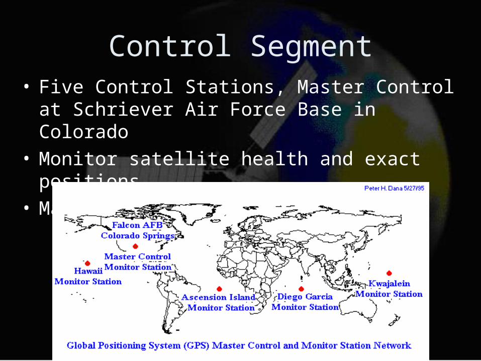
Control Segment• Five Control Stations, Master Control at Schriever
Air Force Base in Colorado• Monitor satellite health and exact positions• Makes Corrections

Control Segment

User Segment
• Consists of Receivers
User Segment
• Triangulates by measuring distance using the travel time of radio signals– (Velocity)*(Time)=Distance
• Very accurate time required (Atomic Clocks on Satellites)
• Along with distance, Satellite position is required
• Correction of errors
User Segment: Time
• Star Spangled Banner Example• Times are very short (0.06 s)
– .001 of second error = 200 miles error– Atomic clocks cost $75,000– Use a forth Satellite Measurement
• Pseudo Random Code– Complicated to make unique (not actually
random)– Each satellite has own unique code
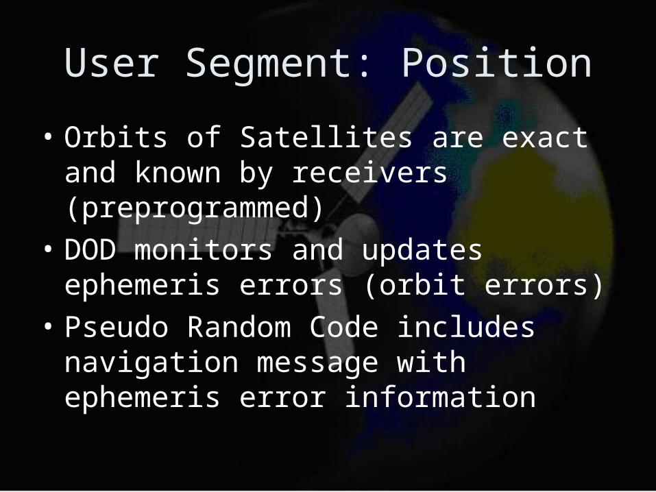
User Segment: Position
• Orbits of Satellites are exact and known by receivers (preprogrammed)
• DOD monitors and updates ephemeris errors (orbit errors)
• Pseudo Random Code includes navigation message with ephemeris error information
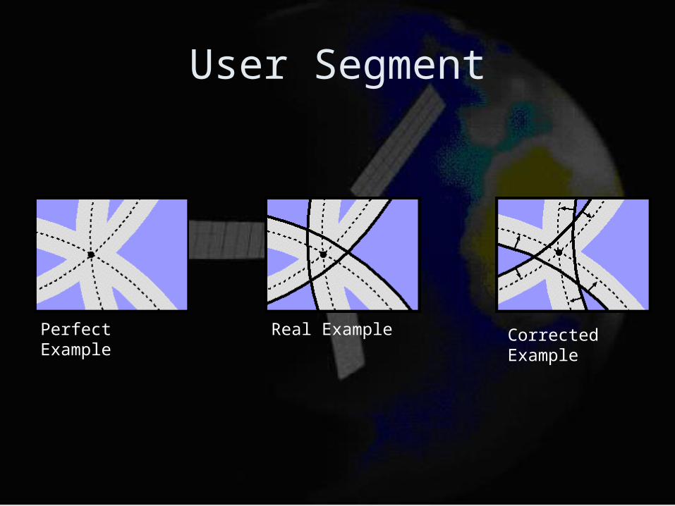
User Segment
Perfect Example Real Example Corrected Example

Error Correction
• Differential GPS
• Cooperation of two receivers– One stationary– One Mobile
• Stationary Receiver measures timing errors and provides correction– Uses equation backwards– Uses Known position to calculate time
An enabling technology
• Marine navigation
• Air Navigation
• Land navigation
• Surveying
• Military applications

Military applications
• Navigation• Tracking• Bomb and Missile
guidance• Rescue• Facility Management

Navigation
• Used to reach and destroy vital enemy installations
• Provides the accurate positional data
Tracking
• Track potential targets
• Smart Bombs
• Time space position information

Missile Guidance
• Cruise missiles• Multiple launched
Rocket system Vehicles
• Reduces the chances of detection and counter Bombardment

Rescue and Facility management
• Co-Opted with GIS
• Can help manage and operates large bases which cover extensive areas.

Galileo Project
• Inter-operable with GPS and GLONASS
• Under civilian control• Four of the first
operational satellites will be launched in 2005-2006
• Consists of 30 satellites• 23616 km altitude above
the Earth• Coverage from 2008

Present developments
• Estimated 3.2 billion Euros
• Investment for the first quarter Around 1 billionIndia-350 million EurosChina-300 million EurosMore than 600 million by ESA

Why does Europe and Asia need Galileo
• Civilian uses?
• Geo-political implications?
Conclusion
• Website