forest carbon tracking – canadian space agency update science and data summit - 4 sydney,...
TRANSCRIPT

Forest Carbon Tracking –Canadian Space Agency Update
www.geo-fct.org
Science and Data Summit - 4Sydney, AustraliaFebruary, 2013
Yves [email protected]

Presentation Outline
• Canadian Space agency assets in support of the FCT and GFOI
• Data planning and ordering process for Radarsat 2 and related End-User Licence Agreement

RADARSAT 1http://www.asc-csa.gc.ca/eng/satellites/radarsat1/default.asp
• C-Band SAR sensor (single pol. capability – H)• In operation since 1996 • Demonstrated potential for routine
observation (support science and operational activities)
• 17+ years of archive collected over the globe – still imaging

S7SCW
S7 and S2/S4S7 and W2
Background MissionBackground Mission

Canada
Australia
Africa
Continental MosaicsContinental Mosaics

RADARSAT Constellation Missionhttp://www.asc-csa.gc.ca/eng/satellites/radarsat/default.asp
• Evolution of the RADARSAT Program (i.e. 3 satellites – 32 minutes separation);• Continuity of C-Band SAR for Operational Users• Improved revisit over wide areas• Improved reliability (i.e. redundancy and scalability)• Evolution to wider Operational use• Government-owned and operated• Average daily global access of land and oceans (daily revisit – 50m res.) & int.
areas;

Dec 2017
Now
8
N
RADARSAT Constellation MissionProject Schedule

RADARSAT 2http://www.asc-csa.gc.ca/eng/satellites/radarsat2/inf_data.asp
• Advanced SAR instrument – polarimetric, high-resolution, heritage modes
• Owned and operated by MDA • GoC data allocation available for science
activities• High and very high resolution, dual-sided
imaging, multi-pol and quad-pol.
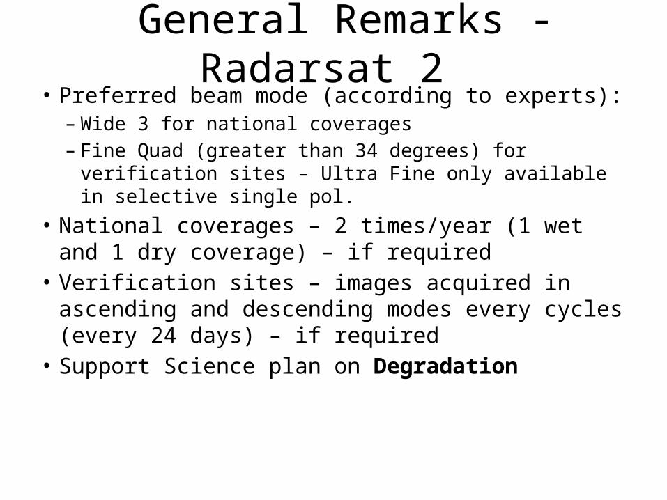
General Remarks - Radarsat 2 • Preferred beam mode (according to experts):– Wide 3 for national coverages– Fine Quad (greater than 34 degrees) for verification sites
– Ultra Fine only available in selective single pol. • National coverages – 2 times/year (1 wet and 1 dry
coverage) – if required• Verification sites – images acquired in ascending
and descending modes every cycles (every 24 days) – if required
• Support Science plan on Degradation

Proposed approach for Ordering and Planning of Radatsat 2
• Science and Operational Applications Research (SOAR)– Joint partnership program between MacDonald Dettwiler and Associates
Ltd. - Geospatial Services Inc. (MDA GSI) and the Canadian Space Agency (CSA)
– The program provides access to RADARSAT-2 data for research and testing purposes.
– The SOAR program provides an opportunity to explore the enhanced capabilities of RADARSAT-2 and their potential contributions to various applications.
• Endorsed framework:– Agreement between MDA and CSA– Define rules specific to FCT needs (number of images, reporting by the
end-users, sharing rules, etc – included in Guidance Document GEO FCT GD 004.

Data Request, Distribution Process and Stakeholders Engagement
• The PD team lead must register for the SOAR-FCT initiative; you will be contacted by the CSA and given access to the online secure website: www.asc-csa.gc.ca/eng/programs/soar/.
• The PD team lead must submit a RADARSAT-2 Product Request and have it approved by CSA. The information requested is approximately the same as that which was previously requested by the FCT Secretariat and used to approve the FCT ND.
• The PD team lead must sign an agreement with CSA and MDA GSI concerning the lending of RADARSAT-2 Products for research purposes.
• The PD team lead and CSA will coordinate the ordering and delivery details.• The PD team lead will:
– publish the results of the research project and appropriately acknowledge the SOAR-FCT initiative;
– provide CSA with advance copies of their publications and communications;– submit to CSA, on request, the results and methods used for promotional purposes;– attend a SOAR linked workshop or symposium to present results; – return the RADARSAT-2 Products loaned back to MDA GSI following completion of the
project.

Data Sharing in the Context of the FCT Request
• Proposed data policy in context of GEO FCT– Can data be shared among the FCT sites?• Yes – need to complete a Multi-User Request Form• Some restriction – RSSSA and EULA
– Can data be shared within the wider GEO Community?• Unlikely
• Can previously acquired data over FCT sites be made available? – Same as new data

Summary of CSA contribution• RADARSAT 2 data acquired over the National Demonstrators
(NDs) as coordinated with C-Band agencies.– Use of RADARSAT 2 background mission – low priority on acquisitions– Full National coverages planned over multiple cycles acquired during
wet and dry seasons – All verification sites are imaged every 24-day cycles
• Introducing a formal planning, ordering an distribution process that should facilitate the acquisition and access to data – SOAR FCT program
• Offered support for the key science issue of DEGRADATION