fire island / robert moses state park codar 13 mhz investigation
Post on 19-Dec-2015
217 views
TRANSCRIPT
Fire Island / Robert Moses State Park
CODAR 13 MHz Investigation

Robert Moses State Park
• Power typically runs to the lifeguard sheds
• NPS recommended Field 4 as the least traffic
• Western tip of island
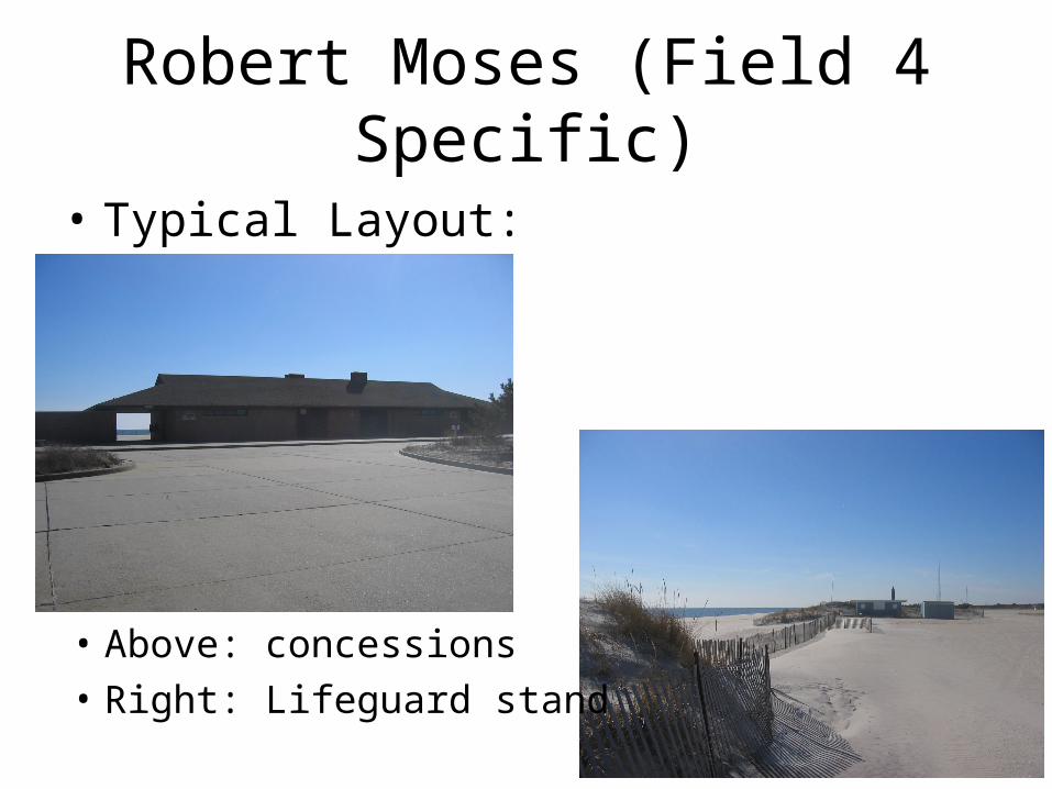
Robert Moses (Field 4 Specific)
• Typical Layout:
• Above: concessions
• Right: Lifeguard stand

Robert Moses (Field 4 Specific)
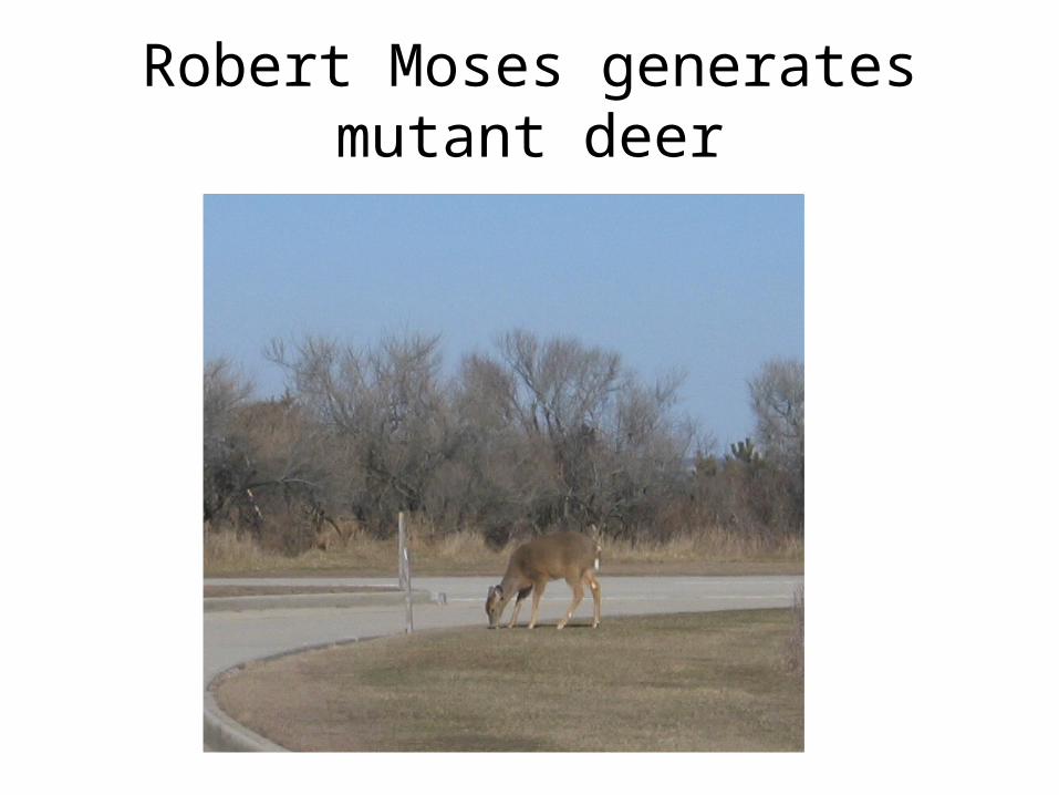
Robert Moses generates mutant deer

NPS – Fire Island
• 4 Potential Sites
• NPS in accord, but feel Robert Moses is just a ‘better’ location for us
• Requests for:– GIS applications of CODAR data– National ‘spill’ tracking functionality, perhaps
for National Database

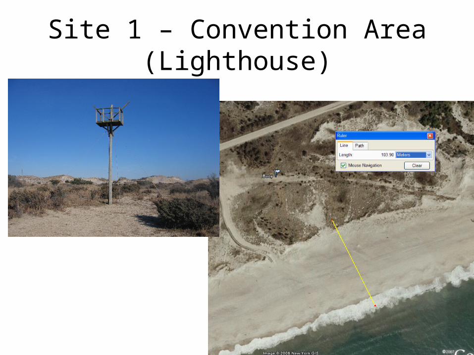
Site 1 – Convention Area (Lighthouse)
• Site in dunes• Must be low profile (no shed, weather enclosure
with AC)• Power nearby but likely final solution requires
underground power• Plug nearby appears to be 120 V
http://www.nooutage.com/nema_configurations.htm
Site 1 – Convention Area (Lighthouse)
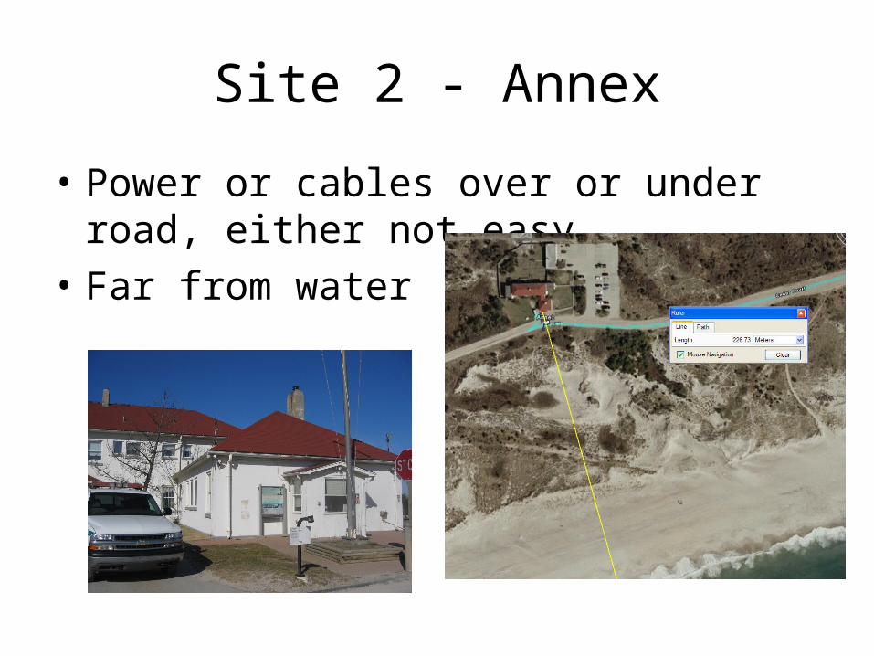
Site 2 - Annex
• Power or cables over or under road, either not easy
• Far from water
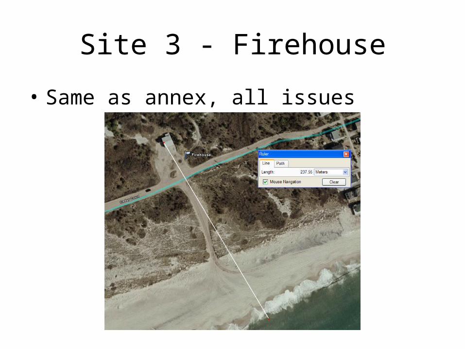
Site 3 - Firehouse
• Same as annex, all issues
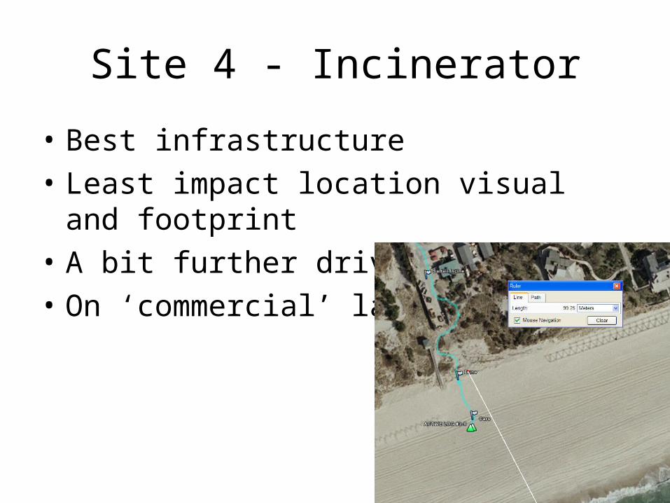
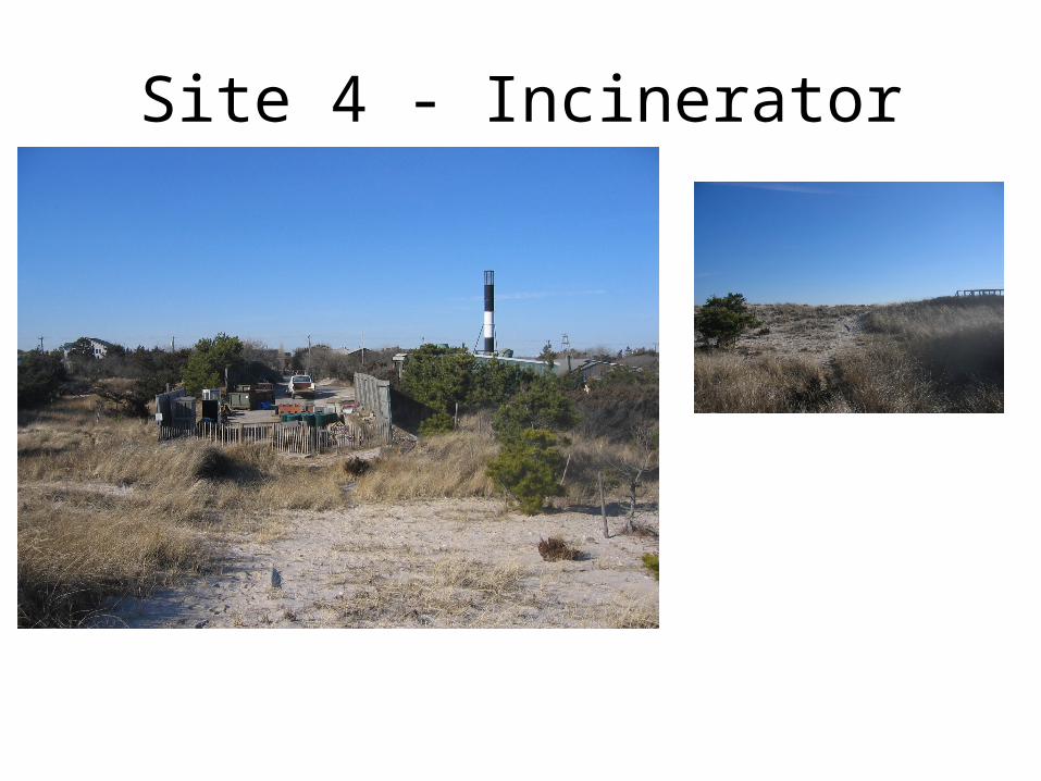
Site 4 - Incinerator
• Best infrastructure
• Least impact location visual and footprint
• A bit further drive to get to
• On ‘commercial’ land
Site 4 - Incinerator

Site 4 - Incinerator